The Mountain will always be there (My Response to Bill Holland's Writing Challenge)
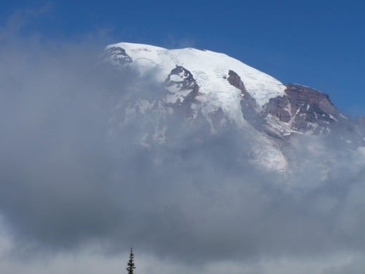
I looked at the highest point of the mountain. It was only 20 meters (60 feet) away. The climb was steep but the mountain seemed conquerable. I glanced at the western horizon and saw clouds moving in. The weather would be turning against me very soon. It was a do or die situation.
Conquering the Mountain was on my mind ever since I started trekking in the company of my rock climbing friends during my heydays. However, when I reached 40s, I realized that rock climbing was taking its toll on my body. I gave up rock climbing and thus the dream of conquering that mountain never materialized.
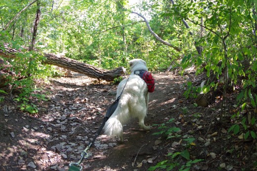
At age 44, I got K2, our great white Kuvasz, and trained him to be my hiking companion. For the last 4 years the two of us were hiking all over southern Ontario, western New York, and northern Michigan - K2 more inclined to use his sense of smell to observe nature and I, inclined to use my eyes to do the same. Mountains of Adirondacks/ Laurentians, and Appalachians, all seemed to be calling out to me again and again, but I suppressed my feelings and refused to answer the call.
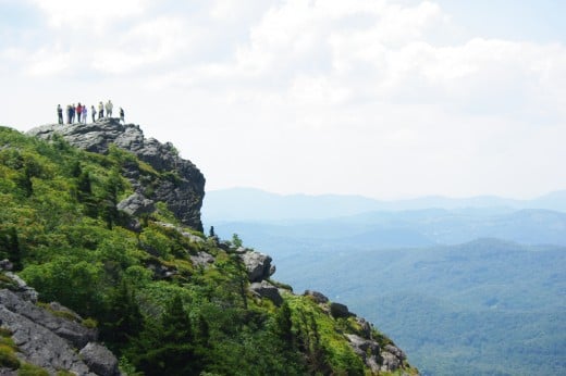
The Mountain ranges of NA
And then I saw the mountain again during a hiking excursion on Appalachian Trail in Maine with my brothers, nephew and son - its peak challenging me from above the clouds. I decided right there and then that I must respond this time.
"At your age, you are going crazy, aren't you?", my wife asked me indignantly.
“No, I think I am taking a calculated risk”. I responded.
Rockies, Adirondacks of the Laurentian range, and Appalachians are very old mountain ranges, which were formed over a billion years ago. Due to erosion caused by the elements of nature, they are not as difficult to climb as the younger mountain ranges of Himalayas, Andes, etc. are. Himalayas are estimated to be 50 million years old and are still rising higher and higher, while Andes are much younger at 25 -30 million years. Hence, these two mountain ranges have jagged and spiky rocks and vertical faces to climb that only seasoned mountaineers can dare to take as a challenge.
Besides, the Mountain was in the Appalachia. That meant it was close to many villages and towns.
After convincing my family, it took me another 1 week to plan and prepare for the climb.
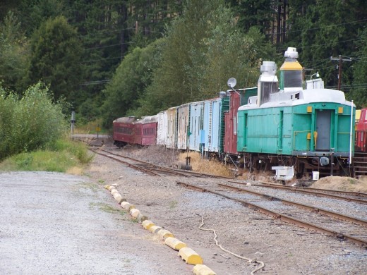
Base camp at the railway station
Families of my two brothers flew in from Bahrain and Saudi Arabia, respectively, and my sister and her family drove from New Jersey to the hamlet in Maine nearest the mountain. There we had previously located a seldom used railway station where a freight train stops once every week to drop off hay for the livestock and other necessities of nearby villages, farms, and hamlets. The region was flourishing till the middle of the last century, but was economically struggling now.
We decided to put a base camp just past the station.
The weather report was clear except for a mild warning that shifting wind could send a storm over the mountain by the next evening.
I had my backpack ready for making my move early in the morning.
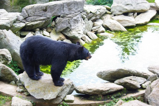
What did I carry in my backpack?
In the morning I had a good breakfast in the company of my entourage. The ladies had quickly prepared and served the breakfast of my liking - fried eggs and spicy omelette. The aroma filled the air and they turned out to be finger licking delicious. As a result, those were gobbled down within few minutes.
I put on my heavy backpack, that contained, among other stuff, a thermos full of green tea, weather resistant jacket and pants, lunch, hiking sticks, icers, ice ax, ropes, carbiners, and about a dozen small flag sticks.
Black bears frequented the mountain slopes and were a potential menace. Learning from my past experience, I had attached a bear-bell on my backpack to let any bears gallivanting on or near the trail know that I was approaching so that they could move off the trail. Besides, I had bear spray ready for deployment any time.
We dug in a tall pole with a yellow and red flag on top so that I could see it from a long distance to reach the base camp. As I moved ahead, I looked back to take note of my bearings. It is always a good idea to note down the path you tread on for the return journey. My flag sticks would come in handy towards this cause. I would post a flag stick at routine intervals as markers.
It was 6 am. I glanced towards the east. The sun had just risen, but the horizon was all glowing in red. I remembered the age-old rhyme predicting the weather for the day:
“Red sky at night, sailor’s delight. Red sky in morning, sailor’s warning”.
It was not a good beginning to the day.
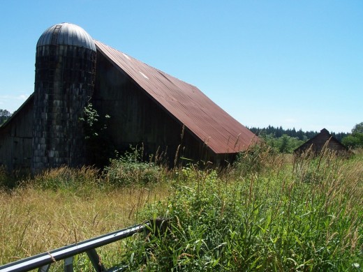
A barn and farming in Maine
As I started my hike toward the Mountain, I saw a dilapidated structure of a barn. What was it used for, I could only imagine. Most probably the farmers kept Maine's famous Anjou cattle, although keeping sheep in this grass and weed covered hilly region would have made equal sense.
That the farm was abandoned was in contradiction with Maine's general farming trend. In this state, farms are getting started at a rate nearly four times faster than the national average, the average age of its farmers is below the national, and it boasts one of the highest organic-to-conventional-farm ratios in the United States.
So what went wrong, I could only guess. Under Maine's forestry growth program, the predator population may have gone up. Coyotes and foxes may have started preying on the livestock, sending cash starved farmers out of business. While those who could manage, turned their farms into more viable touristic Bed and Breakfast farms.
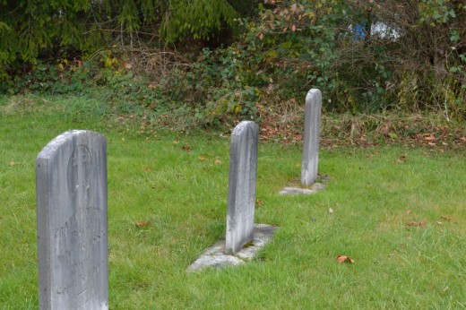
A cemetery that took me closer to my father
I continued my ascend towards the Mountain till I reached a cemetery, which was a reminder that the hamlet I had left behind was once vibrant with agricultural, railroad, and tourism related activities. This is the story of many other small towns, villages, and hamlets of Maine close to the Appalachians and has been captured well by Bill Bryson in his book titled: 'A Walk in the Woods: Rediscovering America on the Appalachian Trail'.
That day, as my parents, especially late my father, would have done, I paused there for a few minutes in reverence and said a prayer for the departed souls just like I heard it from my father long time ago:
"Each one of us comes from The One and Only and in the end each one of us will return to Him. May God rest your souls in peace and when my time comes, may God make the transition easy for me”.
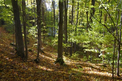
Trees and forestry in Maine
As I hit the tree line, I noticed that the pines were competing for light, trying to get taller and taller and thinner and thinner. However, the maples and a solitary oak tree growing out in the open by the cemetery were thick and sprawling as if trying to provide shelter to the bodies in their last abode. By the way, this is nature’s norm – tall and thin trees in the forest, sprawling and thick trees in the open.
Maine is the most heavily forested state in the U.S. with more than 60 major species of trees covering 90 percent of the state. From the pines, spruces, and cedars to the maples, oaks, and aspens, and many more in-between.
I encountered wild turkey on the ground and a lonely peregrine falcon soaring in the skies. Both these birds have been reintroduced in the state and are flourishing.
Just beyond the tree line
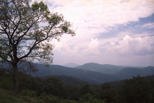
As I gained elevation, the pines yielded to alpine shrub, before giving way to bare rock. The trail became steeper and meandered toward the mountain top in characteristic ‘U’ curves, letting me have a continuous view of the scenery below either to my left or to my right. I got to the elevation from where the heavily forested valley below and the yellow and red flag on the mast at the bare patch of the base camp became visible.
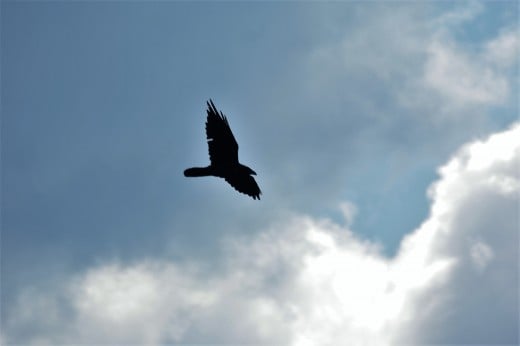
Couple of northern ravens flew over me checking me out. “It is our area. What are you doing up here?”, they seem to ask, before diving into the valley below as if to show off.
Snow
I entered the snow line at 9 am and took a small break to sip a cup of green tea and to bring out my light winter jacket and icers. It was snow all around me but the trail had few patches only. Sun was still shining in the eastern sky while I could now see clouds moving in from the west, casting eerie shadows over the western slopes of the mountain and turning the green valley beyond into a shade of dark grey.
The morning sun was melting the snow. This was giving rise to several small water channels, or brooks if you will, as they gushed down the mountain slope and disappeared either to the east or west of the trail I was on.
Ice
I approached the ice line by 10 am. I began to feel that the light breeze was turning into a nippy wind. However, ice was in patches over the trail, which was becoming narrower as I climbed higher and also more and more vague. I put icers on my hiking shoes and reached out for my ice ax to ensure it was available if needed.
The climb became steeper, but still manageable for an old hag like me.
By 11 am I was only 20 meters away from the top.
It wasn’t the bears, the climb, melting snow, ice, or thin air that was a problem now. It was the weather system that was almost upon me like a monster ready to gulp me.
Wise saying of a mountaineer
I was running out of time. If I made it to the top, I would be losing valuable time and would be caught in the storm on the way down. I thought over this for only about a second as the words of famous mountaineer Ed Veisturs rang in my ears:
“Getting to the top is optional. Getting down is mandatory”.
Indeed, many mountaineers make it to the summit, but they stay there too long, become a tad careless on descending, or experience fatigue. More mountaineers have died while descending than ascending.
The Mountain stands tall and majestic
I decided to return. By the time I reached the cemetery, it had turned windy and it was raining cats and dogs, nay - bulls and elephants. The wind caused my face to feel like I was under attack by a zillion bees. I took cover under the sprawling arms of the lonely oak.
I had failed to conquer the Mountain. But the Mountain will always be there in its majesty and beauty. People, many of whom older than I am, will continue to climb it successfully. Many through and section hikers of the Appalachian Trail, 150 miles of which passes through Maine, will continue to hike through it every single summer.
My time will come. If my life remains, I can always come back for another attempt.
