Hiking with Kids - Arethusa Falls, Harts Location - Crawford Notch NH
Arethusa Falls, Harts Location NH
This past memorial day weekend our family made the trek to Crawford Notch State Park located in Harts Location, New Hampshire.
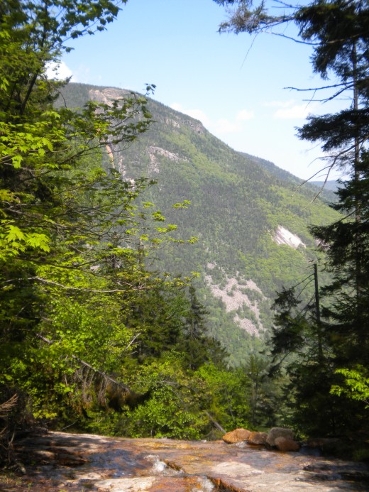
It is such a beautiful place, but then again, the White Mountains are generally beautiful.
We had decided at the last minute that we would hike Mt. Willey so we got all of our water packs, and lunches ready and we set off. We didn't arrive to the Kedron Flume Trailhead until about 12:30 pm. If we were going to do this hike we were really going to have to push. Before hitting the trail we figured we could probably be down by 7:00 pm. It doesn't get dark this time of year until about 8:30 pm.
So we hit the trail. We weren't into it 50 feet and I knew we had set an unrealistic goal for the day. On moderate 4,000 footer hikes, it not unusual for our family to take 1 hour per mile. My daughter and I had been home sick during the week and I wasn't sure how it was going to affect us until now. We didn't have the energy that we were going to need, and the medicine that I have taken a little earlier had already upset my stomach and caused me to loose fluid. I was already starting to feel dehydrated. Not good! When your mouth feels dry and you are thirsty, you body is already starting to be dehydrated.
We had to stop and reassess our situation and make a new plan. We took out our maps and looked at the trail and the topography.
We decided we would continue to hike this trail up to the Kedron Flume and come back down from that point. You should always know your limits when heading out into the woods, especially if you are starting late in the day, which I do not recommend unless you are very familiar with the ability of everyone in your group.
We were following the trail that was marked with white marks. Before long we noticed the trail getting narrower and then it seemed nonexistent. Sometimes when you are on a trail it is easy to just look down and follow what you believe to be the trail. What can happen, and it did with us is that you miss a turn. Don't panic! Just back track until you see the markings again. When we did this we noticed the trail with the markings had taken a sharp right. My husband placed some large branches where it was obvious that others had made the same mistake hoping that others after us would not.
We hiked to the flume. The black flies were horrendous. We had only brought the Family OFF bugspray when what we really needed was the Deep Woods OFF! We stopped at the flume and ate our lunch. We also decided it wasn't worth trying to finish this trail on that day. We would come back and finish it another day. It wasn't worth the risk of being caught out there after dark. This waterfall was pretty but when you contrast this to Arethusa Falls that's right down the road, it would be well worth your time to do the other instead which is what we decided to do.
When you come down Kedrom Flume trail you are at the Willey House site. There are restrooms located here as well!
So we headed to Arethusa Falls on route 302 just a short distance away. When you turn right you see that the pavement continues and there is a dirt parking lot to your right. In this lower parking lot there is a sign for Arethusa Falls and Frankenstein Cliffs. You can park here or you can keep driving on the paved road up the hill and park in the upper parking.
To head to the falls you cross the active rail road tracks, and you will see the trailhead on your left. There are signs here that say this hike will take about 60 minutes. Please note that this is moderate hike and the 60 minutes would be for people who are well conditioned to this kind of activity.
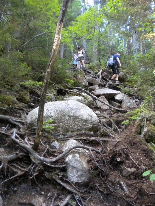
Shortly after you being the trail you have the option to take a left onto the Bemis Brook trail that goes somewhat paralell along the brook with a few stopping places before it reconnects with Arethusa Falls trail. My strong recommendation is if you want to do this trail, do it on the way down because where it reconnects with Arethusa Falls Trail it is super steep with lots of roots and rocks. This would be a hand and feet kind of climb up. Coming down can be a bit scary but there are trees to hang onto but if you tripped it could be a nasty fall. The first half of the Arethusa Falls Trail is at a constant upward angle but it is pretty well maintained. After the incline is levels out for awhile and then makes another ascent with log stairs. When you start to descend, you can hear the water.
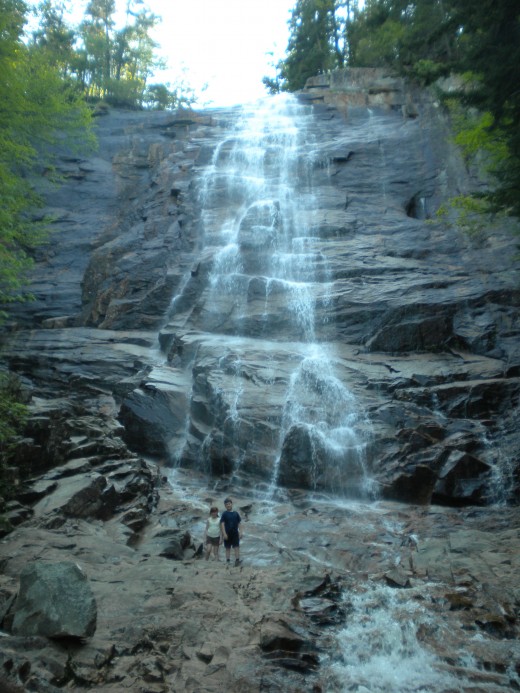
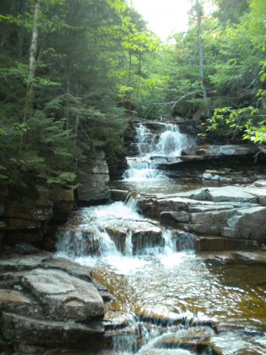
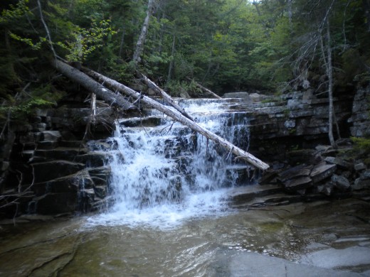
When you emerge from the woods to the brook, the falls are stunning. The way the rocks are staggered breaks up the falls. The hike to get to this point is so worth it.
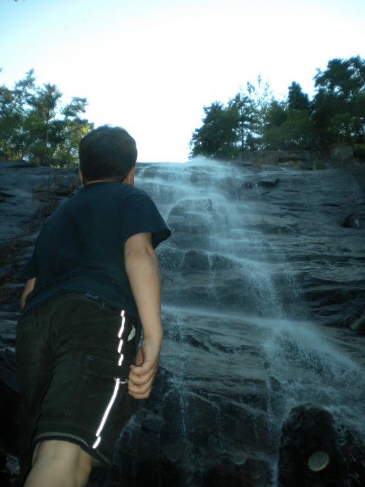
You can rock hop to the base of the falls (which is the tallest waterfall in NH). Even the pictures are impressive. Again, the black flies were horrible so have the right bug spray with you.
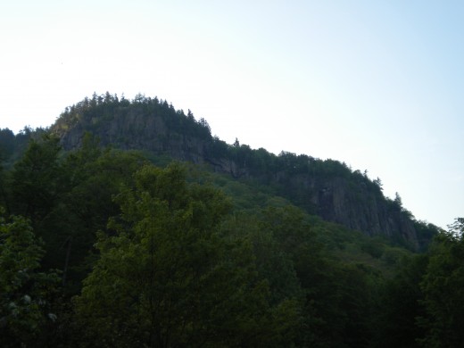
On your way back from the falls on your left is another trail that heads to Frankenstein Cliff. I can't comment on that trail because we didn't try it but it is one that we would like to try someday. The cliffs are pretty impressive looking up from the parking area.
I believe it took us about 1 1/2 hours to get to the falls which is 1.5 miles in, roundtrip 3 miles due to the way I was feeling this day. We saw a lot of families out there. Some kids were as young as 4 or 5 who hiked on their own and even some infants! There are were also furry four legged family members.
This would make a great family hike and with the waterfall at the end it is sure to not disappoint.
One other thing to keep in mind is the water level. After looking at pictures of the falls posted by other visitors, it would seem that the level of the water on the day that we went seemed average. Rainfall in the mountains before or during a hike can change the water levels. There are no water crossings on this hike, but I'm not sure if it would affect your ability to reach the bottom of the falls.
Here is a nice trail map with topography for Arethusa Falls from another hiker with pictures from the winter.
Arethusa Falls, Harts Location, NH
Trailhead to the tallest waterfall in NH.
This is where the Kedron Flume Trailhead is behind the building. This is also where the restrooms are located.
