- HubPages»
- Travel and Places»
- Visiting North America»
- United States
Ghost Towns of New Mexico
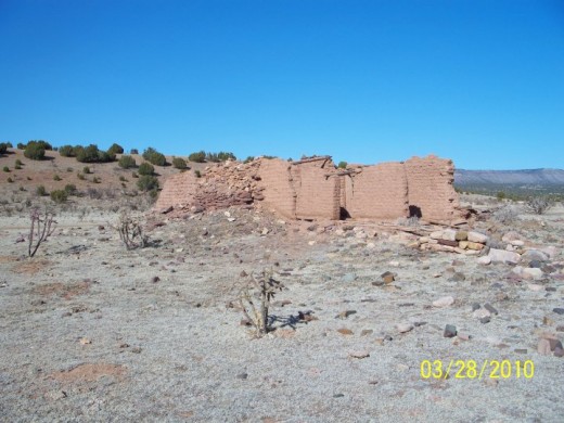
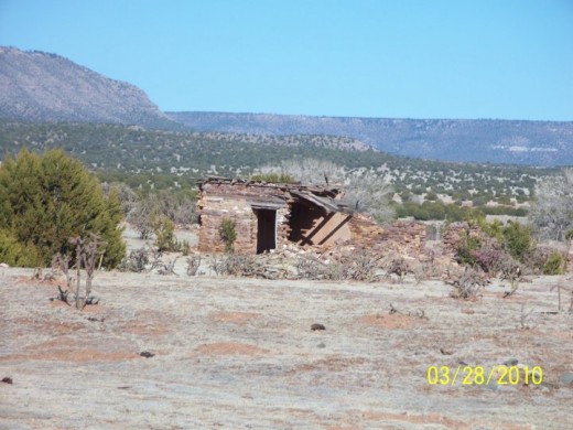
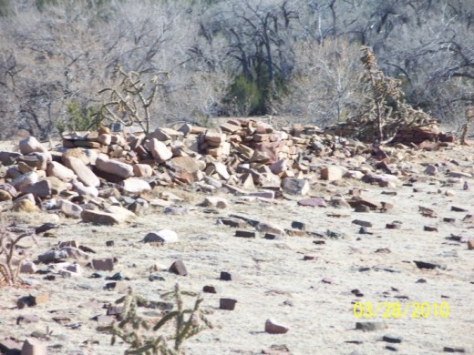
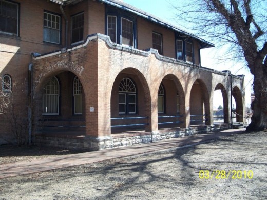
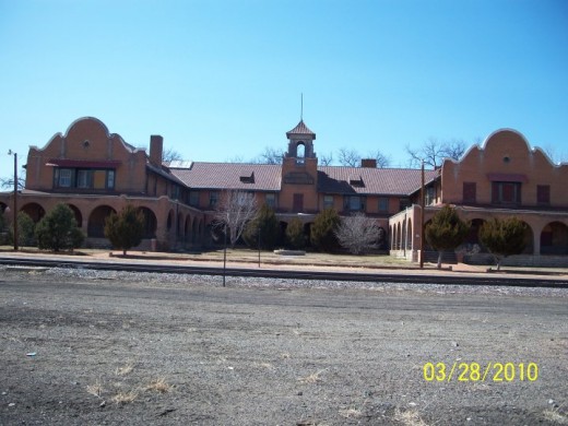
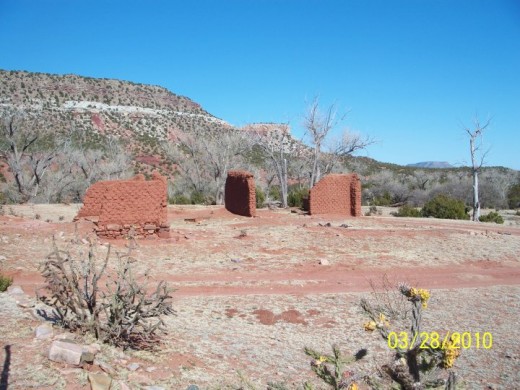
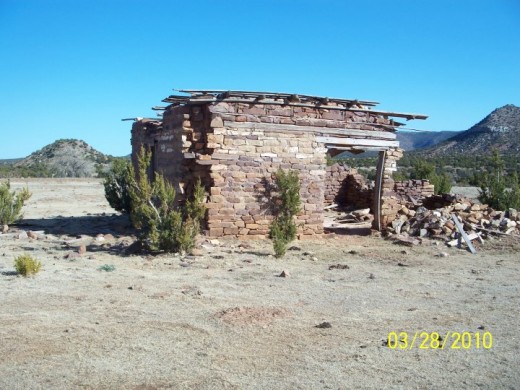
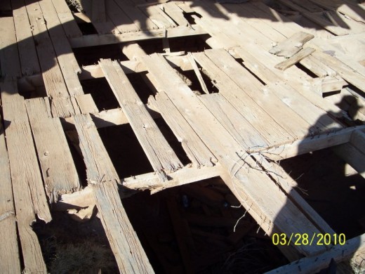
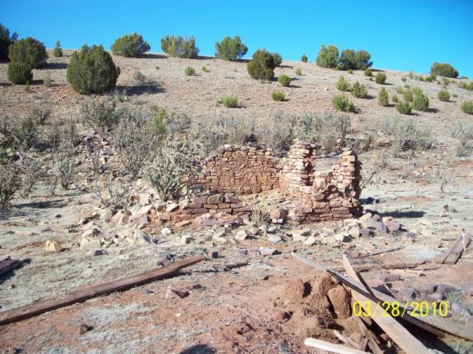
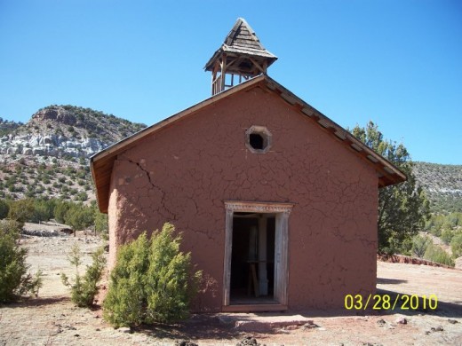
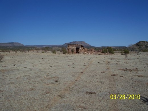
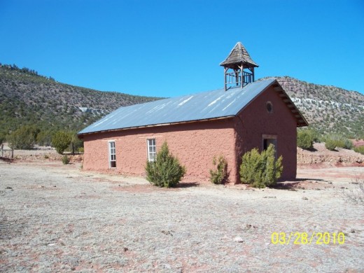
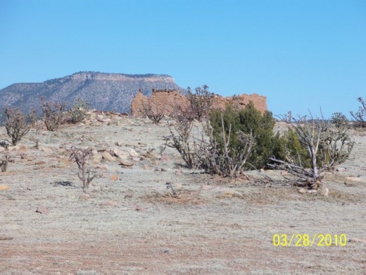
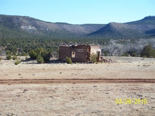
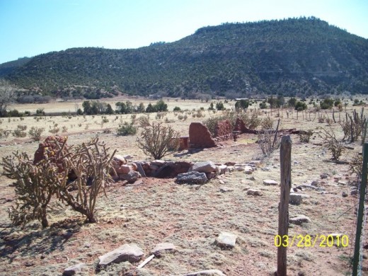
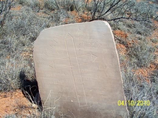
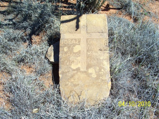
Listing of Some of New Mexico Ghost Towns
A. GHOST TOWNS--***** (NOTE: SOME SITES LISTED BELOW ARE PROTECTED SITES BY FEDERAL LAW--LISTED FOR INFORMATION PURPOSES ONLY--NOT FOR METAL DETECTING OR REMOVAL OF ARTIFACTS).---CHECK BEFORE ENTERING
1. Sierra Cariso, 7 1/2 miles W of Shiprock
2. Waterflow, 15 miles E of Shiprock
3. Fruitland, 11 miles W of Farmington
4. Kirkland, 9 miles W of Farmington
5. Pendleton, 2 miles N of La Plata
6. La Plata, 15 miles N of Farmington
7. Flora Vista, 5 miles W of Aztec
8. Inca (aka Rosing), 7 1/2 miles NE of Aztec
9. Hendrix (aka Riverside), 2 miles N of Cedar Hill
10. Fairpoint, Located on the San Juan River E of Bloomfield (1894-1929)
11. Grozier, 22 miles NNE of Crystal
12. Burnham, 12 1/2 miles ENE of Newcomb
13. Two Grey Hills, 6 miles WSW of Newcomb
14. Crystal, 18 miles WSW of Sheep Springs
15. Carson, 17 miles SSW of Bloombield
16. El Huerfano, 21 miles S of Bloomfield
17. Otis, 7 1/2 miles NW of Bageezi
18. Lake Valley, 44 miles S of Farmington
19. Pueblo Bonito, 16 miles E of Lake Valley
20. Mexican Springs, 6 miles S of Tonatchi, then 3 miles W
21. Coyote Canyon, 13 miles N of Gallup, then 10 miles E
22. Pinedale, 10 miles NNE of Coolidge
23. Mariano Lake, 8 miles N of Coolidge
24. Standing Rock, 15 miles E of Coyote Canyon
25. Pueblo Pintado, 22 miles SW of Counselors
26. White Horse, 12 miles SW of Pueblo Pintado
27. Hospah, on the Continental Divide, 47 miles SW of Cuba
28. Gamerco, 4 miles N of Gallup
29. Gibson, 2 1/2 miles N of Gallup
30. Navajo Wingate Village, 10 miles E of Gallup on RR
31. Perea, on RR, 16 miles of Gallup
32. Guam, on RR, 5 miles E of Perea
33. Coolidge, on RR, 13 miles WNW of Thoreau
34. Gonzales, on RR, 5 miles WNW of Thoreau
35. Smiths Lake, 10 miles S of Crownpoint
36. San Antonio Springs, 6 miles S of Smiths Lake
37. Thoreau, on RR, 32 miles NW of Grants
38. Baca, on RR, 10 miles ESE of Thoreau
39. Ambrosia Lake, 22 miles N of Milan
40. Two Wells, 18 miles SSW of Gallup
41. Vander Wagon, 21 miles S of Gallup
42. McGaffey, 8 miles S of Fort Wingate
43. Black Rock, 6 miles W of the junction of Hwy's 32/53
44. Ramah, 13 miles NW of El Morro
45. Pescado, 7 miles E of the Hwy 32/53 junction
46. Gobernador, S of the Navajo Dam, 36 miles E of Aztec
47. Navajo, 2 1/2 miles E of Dulce
48. Amargo, 2 miles NE of Lumberton
49. Mundo, 5 miles S of Lumberton
50. Hillcrest, 4 miles S of Mundo
51. Lago, 5 miles S of Hillcrest
52. Horse Lake Junction, 7 1/2 miles SSE of Lago
53. Azotea, 7 1/2 miles ESE of Monero
54. Willow Creek, 4 miles E of Azotea
55. Laboto, 5 miles NNE of Chama
56. Cresco, on state line, 8 miles NNE of Chama
57. Los Pinos, 21 miles N of Tres Piedras
58. San Miguel, 7 1/2 miles SW of Los Pinos
59. Haynes, 7 1/2 miles NNE of Counselors
60. Tapicitoes, 10 miles N of Lindrith
61. Ojito, 5 miles SW of Tapicitoes
62. San Ojo Caliente, 5 miles N or Lindrith
63. Lindrith, 20 miles N of Cuba
64. Brazos, 5 miles N of Tierra Amarilla
65. Ensenada, 2 miles N Tierra Amarilla
66. Rutherton, 4 miles NW of Tierra Amarilla
67. La Puente, 1 mile S of Rutherton
68. El Vado, 14 miles SW of Tierra Amarilla
69. Canjilon, 3 miles S of Cebolla, turn 3 miles E
70. Canon Plaza, 19 miles SW Tres Piedras
71. Vallecitos, 5 miles S of Cannon Plaza
72. Las Tablas, 3 miles N of Petaca
73. Petaca, 5 miles E of Vallecitos
74. La Madera, 9 miles E of El Rito
75. Embudo, 30 miles SW of Taos
76. Llaves, 9 miles N of Gallinas
77. Gallinas, 17 miles N,NE of Cuba
78. Capulin, 3 miles E of Gallinas
79. La Ventana, near Cuba, area of Rabbit Mountains (Sandoval County)
...note the Lost Salazar Gold mine is in same area as above La Ventana (mountains)
80. Regina, 9 miles N of Cuba
81. La Jara, 2 miles N of Cuba
82. Torreon, 26 miles SW of Cuba
83. Copper Cuba...general area of Cuba...look for early Spanish mining this area in hills.
84. Cabezon, 12 miles W of Hwy 44 and NW of Cabezon Peak...cowboy, freighters and drifters were here..pop 2000
and had a stage station and a post office....1800's to 1934
85. Sulphur Springs, 10 miles N of Jemez Springs
86. Miller, located near Gabezon 1800's to 1834
87. Bland, 12 miles NNW of Cochiti Lake...gold silver boomtown
88. Allerton aka Albemarle...located near Bland...gold boomtown
89. Canada, 5 miles NNW of Cochiti Lake
90. Ojo Del Padre....9 miles S of Cabezon...unimproved road
91. Coyote, 9 miles ENE of Bernalillo
92. Tejon, 7 1/2 miles ESE of Bernalillo..coal mining camp
93. Hagen, 10 miles NE of Bernalillo
94. Las Placitas, 10 miles SE of Bernalillo...county line
95. Buckman, 15 miles NW of Sante Fe on RR
96. Bonanza, 5 miles W of Hwy 14--85 junction, 1879 mining town
Also in the area of Bonanza..mining camps of Carbonateville, Chalchihuitl, Casa Entry, Mine de la Minas
97. Canyoncito aka Canoncito, 11 miles SE of Sante Fe...Civil War battle here
98. Los Cerrillos, 20 miles SW of Sante Fe...stagecoach stop...Johnson's Ranch
99. Dolores City aka Placitas Viejas, 4 miles SE of Madrid...along old stream bed, base of Ortiz Mountains.
100. Golden, 15 miles N of Edgewood, W edge of San Pedro Mtn.
101. Tuerto, N of Golden
102. Clark, 5 miles S of Galisteo
103. Williams, 10 miles S of Galisteo
104, Otto, 2 1/2 miles S of Stanley
105. Palmilla, 5 miles S of CO state line, hwy 285
106. Volcano, 10 miles S of Palmilla
107. No Agua, 25 miles S of state line, hyw 285
108. Twining, 19 miles NW of Taos
109. Virsyivia, 8 miles N of Cerro
110. Buena Vista, 2 miles NW of Cerro
111. Baldy, 12 miles NE of Eagle Nest
112. Old Cimarron City, Hwy 64-58 junction
113. Dawson, 13 miles NE of Cimarron, then 5 miles NW.
114. Colfax, 12 miles NE of Cimarron
115. Brilliant, 9 miles NW of Raton
116. Gardiner, 3 miles W of Raton
117. Otero, 5 miles S of Raton on abandoned RR line
118. Yankee, 8 miles NE of Raton
119. Bell, E of Raton on Johnson Mesa
120. Koehler, 10 miles SSW of Raton
121. Black Lake, SW corner of Colfax county on hwy 120
122. Aurora, 10 miles E of Black Lake
123. Rayado, 12 miles S of Cimarron
124. Miami, 13 miles W of Springer
125. Gato, 6 miles S of Maxwell
126. French, 5 miles S of Maxwell, on RR line
127. Rayado, 5 miles S of Springer
128. Chico aka Chico Springs on Hol-keo Creek, 22 miles E of Maxwell
129. Holman, 35 miles N of Las Vegas.
130. Nolan, 15 miles S of Springer
131. Levy, 5 miles N of Wagon Mound
132. Loma Parda, 7 miles SSW of Fort Union
133. Loma Linda, just north of Loma Parda above
134. Watrous, 20 miles N of Las Vegas...numerous honky tonks, saloons, gambling halls and brothels.
135. Valmora, 4 miles NE of Watrous
136. Tecolote, 5 miles W of Romeroville (one of many fort chains)
137. Romero, 5 miles S of Las Vegas
138. Tecolote, 11 miles SW of Las Vegas
139. Ojita, 2 1/2 miles S of Romero
140. Rencona, 12 miles WSW of San Miguel
141. San Jose, 20 miles S of Las Vegas
142. Leyba, 12 1/2 miles SW of San Miguel
143. Olquin, 11 E of Anton Chico
144. Bernal, 12 S of Las Vegas...first stage stop on LV/SF rr line
145. Sulzbacher, 6 miles S of Ojita
146. Laliendre, 16 miles SE of Las Vegas, on Gallinas River
147. Chaperito, 13 miles ENE of Anton Chico on Gallinas River
148. Gonzales, 10 miles WNW of Sanchez
149. Maes, 10 miles NE of Trujillo
150. Hilario, 11 miles W of Trementina
151. Trementina, 20 miles NW of Conchas, 55 miles E of Las Vegas
152. Buxton, 4 miles SSE of Variadero
153. Sanchez, 14 miles N of Trementina
154. Cabeza, on RR, 5 miles S of Mosquero
155. Medio, on RR, 10 miles S of Mosquero
156. Campana, on RR, 5 miles S of Medio
157. Atarque, on RR, 10 Miles S of Campana
158. Canadian, 19 miles W of Logan
159. Emery Gap, 10 miles N of Folsom
160. Madison, at the foot of Emery Peak...outlaw town, indian raids.
161. Old Folsom, 8 miles N of Des Moines near present day Des Moines
162. Dedman, 8 miles W of Des Moines
163. Rumaldo, 4 miles W of Des Moines
164. Corrumpa, 15 miles E of Des Moines
165. Guy, 8 miles ENE of Corrumpa
166. Cuates, 6 1/2 miles W of Guy
167. Atencio, 10 miles E of Cuates
168. Grande, 7 1/2 miles SE of Des Moines on RR
169. Staunton, 5 miles NE of Gladstone
170. Sofia, 12 NE of Gladstone
171. Patterson, 13 miles S of Grenville
172. Pasamonte, 13 miles E of Gladstone
173. Moses, 9 miles NNE of Seneca
174. Vance, 15 miles S of Clayton
175. Thomas, 5 miles W of Vance
176. Barney, 15 miles W of Thomas
177. Reyes, 6 miles WSW of Holland
178. Holland, 5 miles SW of Clapham
179. Clapham, 12 1/2 miles E of Sedan
180. Stead, 5 miles E of Sedan
181. Stonehaven, 8 miles WSW of Amisted
182. Dale, 13 miles SW of Amisted
183. Ione, 13 miles SSW of Amisted
184. Centerville, 9 miles S of Amisted
185. Lucas, 10 miles NNE of Roy
186. Dehaven, 9 miles NW of Bueyeros
187. Bueyeros, 11 miles E of Albert on hwy 102
188. Albert #2, 10 miles SW of Bueyeros
189. Gallegos, on Ute Creek, 17 miles SE of Mosquero
190. Sawyer, 13 miles SE of McGaffey...lumber town
191. Copperton, 15 miles W of Grants, copper mining
192. Anaconda, 3 miles SE of Bluewater
193. Toltec, 7 miles SSE of Bluewater on RR
194. San Mateo, NE of Grants...ruins E and W of city limits
195. Horace, 6 miles SE of Grants on RR
196. Ballejos, 6 miles E of McCartys on RR
197. Cubero, 3 miles E of San Fidel
198. Bibo, 9 miles N of Laguna
199. Marquez, 20 miles NNE of Laguna...on tri-county line
200. Cebolleta, 18 miles N of Laguna on hwy 279
201. Rito, 4 miles E of Laguna on RR
202. Armijo, 5 1/2 miles SE of Rito, on RR
203. Suwanee, 7 miles SE of Armijo on RR
204. Garcia, 5 miles SE of Suwanee on RR
205. Rio Puerco, 15 miles NW of Belen on RR
206. Dalies, 8 miles NE of Belen
207. Jarales, 3 miles S of Belen
208. Madrone, 5 miles SSE of Belen
209. Victor, 2 miles S of Madrone
210. Bodega, 3 miles SE of Victor
211. Becker, 6 miles SE of Bodega
212. Sais, 4 miles SE of Becker
213. Scholle, 5 miles SE of Sais on tri-county line
214. Fence Lake, 46 miles S of Whitewater on hwy 32
215. McIntosh, 7 1/2 miles N of Estancia
216. Palma, junction of hwy 66 and 3...9 miles from NE county corner
217. Broncho, 6 miles ENE of Mountainair, on RR
218. Silio, 5 miles E of Willard on RR
219. Lucy aka Lucia, 7 1/2miles NE of Silio on RR
220. Dunmore, 8 miles E of Lucy on RR
221. Pedernal, 15 miles W of Encino on RR
222. Negra, 7 miles W of Encino on RR
223. Carnero, 5 miles E of Encino on RR
224. Progresso, 15 miles SE of Willard on RR
225. Blanca, 5 miles SE of Progresso on RR
226. Pinoswell, 17 miles N of Corona
227. Indiole, 5 1/2 miles NE of Duran on RR
228. Helena, 7 miles SW of Duran on RR
229. Camaleon, 5 miles SE of Cedarvale on RR
230. Varney, just N of Corona
231. Torrance, 8 miles NE of Corona
232. Colonias, 14 miles NW of Santa Rosa, on Pecos River
233. Dahlia, 10 miles SW of Anton Chico
234. Pintada, 21 miles W of Santa Rosa
235. San Ignacio, 13 miles W of Santa Rosa
236. Arabella, 8 miles SW of Santa Rosa on RR
237. Guadalupe, 5 miles NE of Pastura on RR
238. Aragon, 4 miles SW of Pastura on RR
239. Leoncito, 5 miles NNE of Vaughn on RR
240. Epris, 5 miles SW of Vaughn
241. Iden, 5 miles SE of Vaughn on RR
242. Casans, 5 miles SE of Iden
243. Duoro, 18 miles SE of Vaughn on RR
244. Los Tanos, 9 miles NE of Santa Rosa
245. Cuervo, 18 miles NE of Santa Rosa
246. Paradise Plains, 11 miles E of Santa Rosa
247. Haile, 7 1/2 miles S of Newkirk
248. Puerto de Luna, 10 miles SSE of Santa Rosa on Pecos River...built in 1862
249. Potrillo, 17 miles ESE of Sante Rosa
250. Ruth, 6 miles SE of Haile
251. Riddle, 9 miles WSW of Alamo
252. Alamo, 7 1/2 miles SE of Potrillo
253. Salado, 12 miles NW of Fort Sumner
254. Guadalupe, 2 miles SE of Salado
255. Star, 10 miles N of Fort Sumner
256. Taft, 3 miles E of Star
257. Banks, 9 miles NE of Fort Sumner
258. Charlotte, 7 1/2 miles E of Banks
259. La Lande, 7 1/2 miles E of Fort Sumner
260. Canton, 15 miles S of Taiban.
