- HubPages»
- Travel and Places»
- Visiting North America»
- United States
The Lighthouses of North Carolina
CURRITUCK LIGHTHOUSE - Currituck County
The Currituck Lighthouse is located in the community of Corolla, about 40 miles from Oregon Inlet. It was illuminated for the first time on December 1, 1875, thus completing the chain of lights along the North Carolina coast by filling a previously dark 80-mile gap. This is one of the three lighthouses modeled after the Cape Lookout Lighthouse. It has never been painted in order to distinguish it from the Bodie, Lookout, and Hatteras Lighthouses. The red brick, 158 foot structure sits in a wooded area on sandy land.
BODIE ISLAND LIGHTHOUSE - Dare County
In the early years of the Civil War, Union troops controlled the 90-foot-high brick tower built in 1859. It was blown up by Confederate troops in 1861. The current lighthouse was built modeled after the Cape Lookout Lighthouse, except for having an exposed granite base. Now a part of the Cape Hatteras National Seashore, the lighthouse itself is not open. However, the old keeper's house is open as a visitor's center and museum.
CAPE HATTERAS - Dare County
The Cape Hatteras Lighthouse is the tallest lighthouse in America. It is located to warn travelers off shore in the area known as the "Graveyard of the Atlantic," It has 268 steps inside to the top and was attacked by both Union and Confederate forces during the Civil War. Erosion, caused by the continued encroachment of waters from the Atlantic, threatened the lighthouse over the years. The massive structure was moved 2,870 feet inland during an incredible undertaking in 1999 - 2000.
DIAMOND SHOALS LIGHT TOWER - Dare County
Built in 967, the Diamond Shoals Light Tower rises 75 feet above the Atlantic Ocean floor about 13 miles off Cape Hatteras in the area known as Diamond Shoals. The framework is a steel Gulf Coast oil drilling platform on top of four steel legs adapted for use as a lighthouse. It is equipped with a light, foghorn, a radio beacon, and a computer. This light tower is a more reliable beacon for sailors than its predecessors. In 1824, the first Diamond Shoals Lightship was anchored at the outer edge of the shoals. However violent storms proved too much for the lightship to hold anchor. The lightship was replaced first by a lighthouse that was anchored in the 25-foot deep water of the shoals, and later destroyed by a storm, and then by a new lightship which lasted for 70 years until being sunk by a German submarine in 1918.
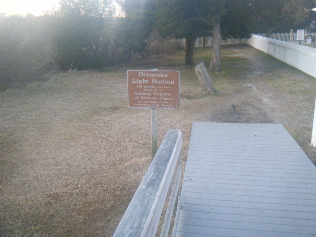
OCRACOKE LIGHTHOUSE - Hyde County
The Ocracoke Lighthouse is the oldest active lighthouse in North Carolina. The current 76-foot-tall Ocracoke Lighthouse is located in the fishing village of Ocrocoke on Ocracoke Island. It replaced the first Ocracoke Lighthouse, which was a 55-foot-high wooden structure. The 1823 lighthouse was controlled by both sides during the Civil War. The light now functions like a street lamp, turning on at night and off in the morning. In 1868, the tower was cemented and covered with its first coat of white paint.
CAPE LOOKOUT LIGHTHOUSE - Carteret County
The painting pattern on the Cape Lookout Lighthouse is often referred to as being a diamond pattern. However , the pattern is in fact checkers. Documents have shown that the Lighthouse Board ordered it painted in black and white checkers.
Overlooking the treacherous 14-mile Lookout Shoals, the Cape Lookout Lighthouse is part of the Cape Lookout National Seashore. The lighthouse marks these Shoals, which early sailors called "Horrible Headlands." The first Cape Lookout Lighthouse, completed in 1812, was 96 feet high and consisted of a brick tower covered by a wooden tower. This lighthouse proved to be too short for its light to be effective during poor weather. In 1857, the current lighthouse was authorized by Congress and construction was completed in 1859. Confederate forces darkened the light during the Civil War. The checkers pattern was painted in 1873 as a means for sailors to distinguish several identical lighthouses during the day. A boat is needed to reach the lighthouse. Visitors can tour the lightkeeper's home, but the automated lighthouse is not open to the public.
PRICE'S CREEK LIGHTHOUSE - Brunswick County
The brick shell, known as Price's Creek Lighthouse, is the only one of eight lighthouses along the Cape Fear River, which were authorized by Congress in 1848, that is still standing. These lights were needed to illuminate the 25-mile stretch of the Cape Fear River between Oak Island and Wilmington. Price's Creek Lighthouse, only 20 feet tall, was the smaller of the two lights at Price's Creek. During the Civil War, Price's Creek Lighthouse served as a Confederate signal station, aiding blockade runners in navigating the river and being identified to the shore batteries. It is on private property and not accessible to the public. However, it is visible from about 200 yards away from the ferry between Fort Fisher and Southport as the ferry approaches the Southport landing.
OAK ISLAND LIGHTHOUSE - Brunswick County
The Oak Island Lighthouse possesses the newest and most powerful beam of all American lighthouses. The name comes from Oak Island, an outer strip of North Carolina's lower southeastern coast. In 1958, it replaced the Cape Fear Lighthouse, which was located across the Cape Fear River on Bald Head Island.
BALD HEAD LIGHTHOUSE - Brunswick County
The current Bald Head Lighthouse, nicknamed "Old Baldy," was build in 1818 about a mile from the ocean. In the early 1900s, the Bald Headlight was downgraded to a low-intensity, steady light, and was eventually discontinued in 1935. From 1941 to 1958, the light was used to produce a radio beacon to direct ships into the Cape Fear River in times of bad weather. Today, it emits a long steady beam as a restored historical site on Bald Head Island.
FRYING PAN SHOALS LIGHT TOWER - Brunswick
In the shoals off the convergence of the Cape Fear River and the Atlantic Ocean, the Frying Pan Light Tower emits an automated beacon. The tower extends forty feet above the water. This adapted oil drilling platform, also known as a "Texas Tower," was built in Louisiana and brought by barge to Frying Pan Shoals in 1966. Prior to the light tower, lightships had marked the shoals for 112 successive years with only a four-year break during the Civil War. The first Frying Pan Lightship was anchored in 1854 in the shoals. The two lights helped guide sailors into the Cape Fear River toward Wilmington. Concerns that a hurricane would blow the lightship from its anchor brought the end of the tenure of Frying Pan Lightships.

