Clinton's Ditch (Erie Canal) history

As people started to migrate to the America looking for better opportunities, the East coast became heavily populated. People began traveling west and settled down along the way. This called for a way to get those who had established their new lives in the wild, rough west supplies from the east and from Europe and around the world. Many methods were tried and all had some flaws. Roads were not well kept or travel on them was not fast enough, there was no direct river or body of water to the flowing from the East to the West and going around the continent by boat would take entirely too long. There was also a big geographical issue, the Appalachian Mountains. The government’s major goal was to connect Lake Erie and the other Great Lakes with the Atlantic Coast via a canal. There were many surveys and proposals, but none was successful until 1816. The bill for funding was passed by the United States Congress to fund the canal but was vetoed by President James Monroe. So with this the state decided to make it state funded and to charge tolls for its use in order to pay back the funds needed to build the canal.
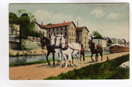
The plan for the canal path way was decided after the state took control of funding, “The Erie Canal would connect to the port of New York City by beginning at the Hudson River near Troy, New York. The Hudson River flows into New York Bay and past the west side of Manhattan in New York City. From Troy, the canal would flow to Rome (New York) and then through Syracuse, Rochester, and further to Buffalo, located on the northeast coast of Lake Erie (Rosenberg, 2012).” This is important because geographically it would also connect all the major northeastern cities and increase the number of people able to move around the country. This would cause those cities’ population to grow and to flourish economically. The canal started out as the Great Western Canal but when DeWitt Clinton became Governor and took charge of this operation it was more commonly known as Clinton’s Ditch or its new name the Erie Canal. On July 4th 1817 construction on the canal began in Rome, NY.
A geographical issue with this canal was the 500 foot rise in elevation from the Hudson River to Buffalo. If left as is then the canal could only be used efficiently one way. Another issue was the creeks and rivers that crossed the tentative path of the canal. The canal needed something to help with elevation issues; locks, 85 of them to be exact were designed to help manage the flow of the boats and in addition to collect the tolls. To solve the issue of the crossing creeks and rivers, aqueducts were designed and built over the canal.
The canal was quite successful and was relied upon very heavily for many years. The cost of shipping goods decreased by an average of 90%, this in turn caused a huge increase in trading goods, and increase in migration and an ease of transportation to the cities by farmers. There was a need for fresh produce in the metropolitan areas in the east and in return, manufactured goods and raw materials could also be shipped west. Due to the decrease in shipping costs of goods and length of time prices dropped and more people were able to afford more, thus boosting the economy. The construction of the canal also resulted in the number of people living in the rural areas decreasing and the number of people living in the metropolitan areas increasing. The construction of the Erie Canal prompted other canals to be built from the canal to the other Great Lakes.
The canal was extremely popular until the development of the railroad drew people away from the now slow canal to the ever fast railroad. The development of the automobile and the airplane have also caused the canal to now be very insufficient to our everyday lives. The pace of the canal compared to the automobile and the train was hardly a comparison. With an automobile you can go virtually anywhere, where as you are limited with a boat or a train. Now in the 21st century the canals are kept alive and used primarily for entertainment and tourists purposes, “bike paths, trails, and recreational marinas line the canal today (Rosenberg, 2012).” Many locks were bypassed when reconstruction took place and are now historical sites and museums; other locks are still active and used to help with the elevation issues just as they did in the 1800s.


