How to Make an Old Fashioned Map
No map is made perfectly. You just can't turn something round and bumpy into something flat and smooth. But, you can make your own imperfect, old fashioned maps.
Map making is cartography - the study, collecting and making of maps. Have you ever wondered how early people created maps? How they could understand where land ended, where the water came in and how high the mountains reached, even though they had very rudimentary skills (in comparison to the modern technology) in geography, science and mathematics?
As school kid, I used to wonder how they knew the shape of the coastline. How could they guess well enough to draw it. They didn't even get the perfectly right dimensions for the land itself. In the old times, especially the more ancient people, may as well have been drawing fantasy maps from their own imaginations. Or, so I thought.
How to Make Paper Look Old
You can make paper look old with cold, strong black tea, instant coffee or strong, regular coffee, a cookie sheet and a blow dryer or clothes iron to crisp it up again.
Your paper can already be written on or still blank. It may be better to write or draw your map on the paper first as it could rip or tear easier once you have finished giving it the age treatment.
Just let the tea of coffee become strong and then leave it to become cold. Crumple up your paper (don't let it rip). Uncrumple the paper and smooth it out. Place it on the cookie sheet and pour the cold tea/ coffee over it. Let it soak up to an hour, turning it over once and pressing it down to be sure no edges are missed.
Pull it out, let it dry slightly, then use the blow dryer or clothes iron until your paper is completely dry. Use a cigarette lighter to singe the edges a little for a bit more of a vintage look.
No Map is Precisely Perfectly Made
No map is perfectly made. There isn't a perfect method to take the true measurements of the land and put them on a flat piece of paper. Imagine a globe of the world map. Then think about how that globe would have to be changed in order to become a flat map. This is what causes the distortions in map making.
Most maps you will see are created with the Albers conic equal-area projection. This is based on keeping the area and shape of the land correct rather than being mathematically precise.
When you draw your own map you need to gather as much information as you can about the place you want to draw. Take all the measurements and then convert them to a smaller scale and keep the same conversion for everything you draw. This will mean a lot of math skills if you are trying to be very correct and precise. It's much easier to draw a fictional map than something real.
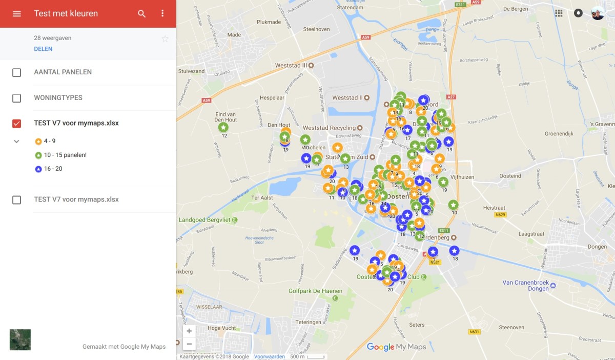
At the end you will need a map legend too. That's how you show various features like shopping malls, schools, etc. without having to write them in by name each time. Legends are a short cut for map makers - plus they keep your map from becoming very cluttered.
What Type of Map Will you Make?
Most maps are political, physical or based on some other theme like oil production, telephone lines, forest density, etc. A physical map is all about the land itself. The focus is in rivers, lakes, hills, mountains, and everything else you could see with your eye. Meanwhile, political maps are all about man made definitions like borders between countries, provinces, states, counties and the locations of towns and cities and roadways.
The Finishing Touches
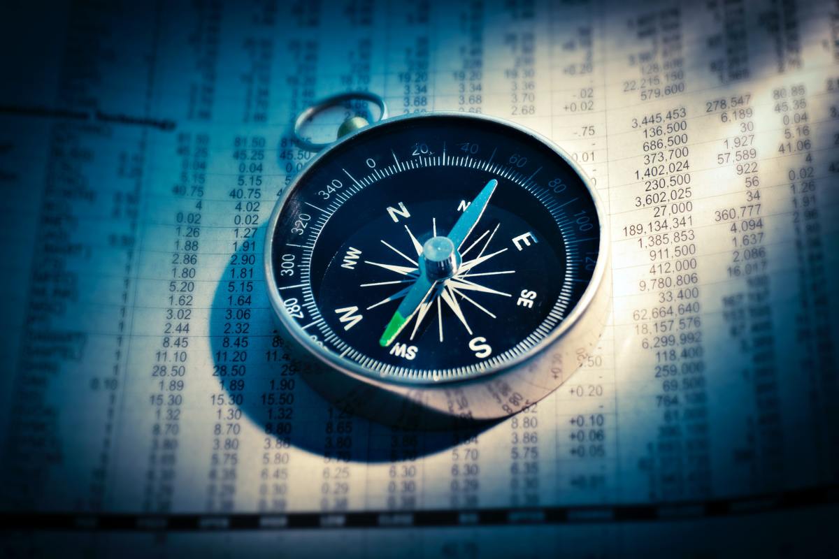
Don't forget the map legend and the compass rose (or at least the arrow pointing north). Also, every explorer should sign the map they have created.
The Drawing of the Map
Start with pencil as you make your first rough draft.
Consider how large or small your map will be. A map showing a larger area will have less detail to focus on versus a map which is based on a smaller area and would need to bring in more attention to detail and focus on the features of the area.
Begin the map from one side, drawing your rough outlines until you have included all the space you need for each area. When you have gotten to the other side of your map step back and get a long range look. If that works out (if you don't need to make some changes to fit in some features in the right locations) begin fleshing out the details.
You might find it helpful to use grid paper rather than giving yourself a complete clean page. The grid could keep your distances straighter as you work out where everything should be drawn in.
When your map is looking good make a clean version and, once that is done, trace your lines in pen. Then begin to add names for the locations and features on the map.
