Humidity and Precipitation
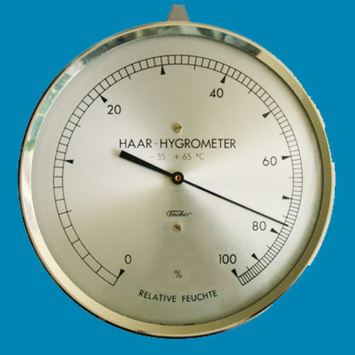
The amount of water vapor present in the atmosphere is called humidity. The ability of the atmosphere to hold the water vapor is a function of the temperature of air and it increases as the temperature rises. At a given temperature, there is a limit for the maximum amount of water vapour the atmosphere can hold. The ratio of the actual quantity of water held in the air and the maximum quantity that can be held by the air at the given temperature is called the relative humidity and it is expressed as a percentage. Air containing moisture to its full capacity is said to be saturated. For saturated air the relative humidity is 100%. It means the air at that stage is incapable of holding any additional moisture at that temperature. It is possible that a given sample of air can become saturated without any change in its moisture content if the temperature of the air is reduced. The temperature at which a given sample of air becomes saturated is called the dew point.
When the temperature of a mass of air goes below the dew point, it is not capable of holding the full moisture content. The excess of moisture thus condenses into liquid or solid form (if the dew point is below the freezing point it will be converted into ice crystals and if the dew point is above the freezing point the condensation will result in formation of water droplets). The conversion of water vapour into water particles is called condensation. The different products of condensation are clouds, fog, mist, dew and frost.
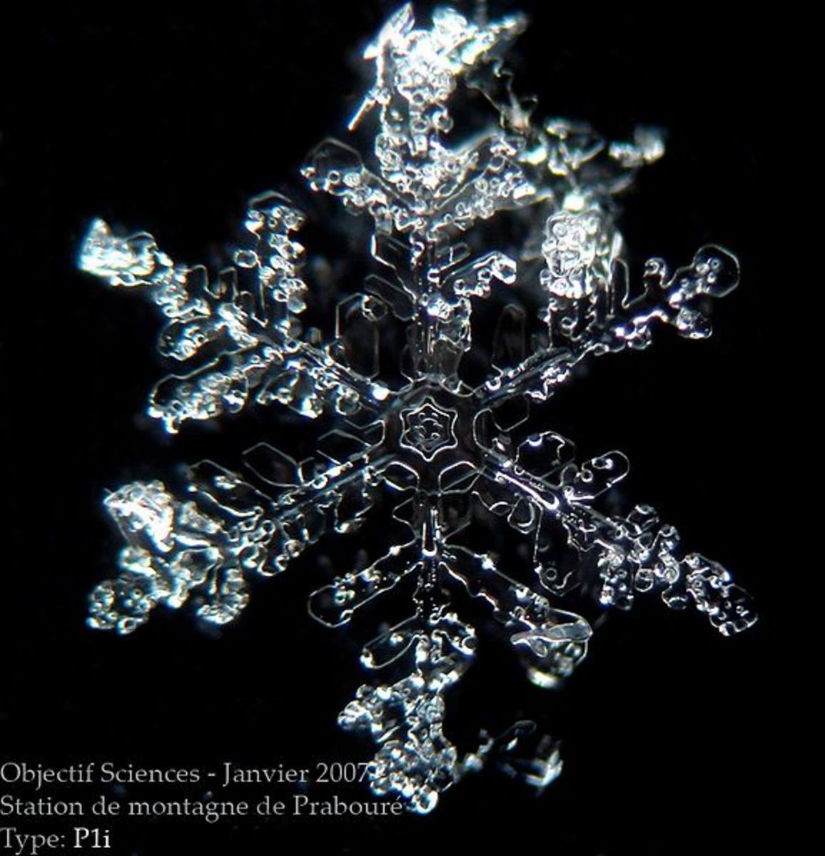
When the warm moist air ascends, the pressure on it is released enabling it to gradually expand and cool. Gradually the cool air gets saturated and the dew point is reached. With further decrease in temperature condensation of moisture takes place high up in the air leading to formation of clouds. A cloud is a mass of condensed moisture in the form of water droplets or very small ice crystals, so small in size that they are sustained in the rising air currents and do not fall to the ground. The small drops of water or the crystals of ice then combine with each other to produce larger drops of water or larger crystals of ice and then they fall to the ground. Such a fall of water drops is called rainfall and the fall of ice crystals constitutes the snowfall. This process is called precipitation.
Clouds are classified into various types on the basis of their appearance and altitude at which they are formed. The clouds which spread in uniform layers in the sky like thin sheets are called stratus cloud. They are found at the lowest altitude and are drifted by winds which move horizontally. Fog is a very low stratus cloud. When convection currents carry the moisture very high in the atmosphere, clouds are formed at the curved crest of the currents and they continue to grow like a cauliflower. They appear to be irregularly convex. Such clouds are called cumulus clouds. They are called the wool pack clouds also. Clouds which are formed at the highest altitude are known as cirrus clouds. In this case the condensation takes place at great heights where the dew point falls below the freezing point and the clouds contain ice crystals rather than water droplets. They appear like ginned cotton. The clouds from which precipitation is falling are identified by addition of a suffix or prefix nimbo or nimbus. Cumulonimbus is an example of such clouds which is dark colored massive cumulus cloud.
During winter, due to excessive radiation during the night condensation of moisture takes place in the lower layers of the atmosphere and the water droplets suspended in the air produce the effect of invisibility. This is called fog. A similar phenomenon is called mist in which the density of the water particles in the air is lower and the visibility is therefore better. When the surface of the earth or the objects lying on the surface are cooled at night especially in winters, the moisture contained in the air condenses on the surface of these objects by coming in contact with the cooled surface. This forms a thin film of water on the surface of various objects on the ground. This is called dew. When the surface temperature falls too low, the moisture contained in the air is frozen on the surface of the ground objects thus producing a thin layer of ice, called the frost.
As mentioned earlier the fall of the water or snow is called precipitation. For the precipitation to occur it is necessary the condensation continues rapidly. For this the most favourable situation is a continuous rise of air in the atmosphere. When the water falls to the ground in form of liquid or snow flakes we call it the rainfall or snowfall. A mixture of water drops and snow flakes falling from the atmosphere is called sleet. Sometimes the precipitation occurs in the form of ice pellets called the hail. The hail is produced when the convection currents carrying the air upwards are very strong and the water drops are thrown upwards in the rising currents of air. In such a situation the temperature of the atmosphere below the rising mass of convective air might be below the freezing point and the water drops falling through these layers of the atmosphere will freeze to produce the hailstones.
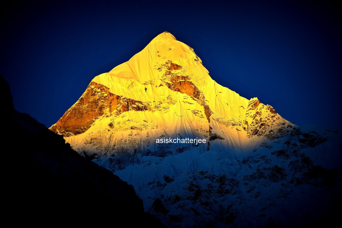
The process of condensation leading to the precipitation can take place in a number of ways. Sometimes the air over an area gets warmer than the air surrounding it and thus starts rising on its own as a convective cell. Cooling of rising air (through process of adiabatic change - fall or rise in air temperature due to expansion or contraction of air and without any actual gain or loss of heat. It is different from the normal lapse rate of temperature) thus leads to condensation and precipitation. Such precipitation is called convectional precipitation. Most of the precipitation in the warm tropical regions and near the equator is of this type. When the air is forced to rise up by the presence of some physical barriers such as mountains in the path of the winds, the resultant precipitation is called orographic precipitation. Much of the precipitation along the Kerala coast and in the northeastern parts of India is of this type. In such a case, the windward slopes of the mountains receive heavy rainfall while the air descending on the opposite (leeward) slopes gets warmed up and thus becomes dry and causes no precipitation. This is called the rain-shadow effect. Interior parts of Tamilnadu remain dry during the southwest monsoon season due to the rain-shadow effect of the Sahyadris. The upliftment of air may be caused due to a cyclonic circulation also. If this is the cause of upliftment and consequent condensation, the resultant precipitation is called cyclonic precipitation. The winter rains in northern parts of India are an example of such precipitation. Cyclonic precipitation is received in many coastal regions also where the cyclones developing over the Bay of Bengal cause very heavy rainfall.
The distribution of rainfall is a function of a number of factors such as the distance from the equator (latitude), distance from the sea and the direction of the winds and the presence or absence of mountains and other barriers in the path of the winds. Generally the areas close to the equator receive more rainfall than the areas in the high latitudes. Similarly the places close to the sea receive more rains if the winds blow from sea to land. However, if the direction of the winds is from land to sea, even the coastal areas may remain dry as is the case on the western margins of the continents near the Tropic of Cancer and the Tropic of Capricorn. Here the prevailing winds are the trade winds which blow from east to west and on the western margins of the continents, they blow from land to sea, thus giving no precipitation even in the coastal regions. That is why the hot deserts of the world are found on the western margins of the continents near the tropics. The amount of rainfall and temperature decide the general climatic conditions of an area. A general distribution of climatic conditions in various parts of the world follows.
Also See related Geography Articles:
- Layers of Atmosphere
The atmosphere is made up of a number of concentric layers each having peculiar characteristics in terms of density and other characteristics. Layers of Atmosphere are; Troposphere, Stratosphere, Mesosphere, Ionosphere, Exosphere. - Atmospheric Pressure
Atmospheric pressure is the force exerted per unit of area on the surface of the earth by the column of air extending vertically above it. On the surface of the earth the pressure and the temperature are inversely related. - Monsoons and Local Winds
The monsoon is a system of winds in which the direction of the winds is reversed between the summer and the winter season. Local winds owe their characteristics to the local topography or the local temperature conditions. - Cyclones and Anticyclones
A cyclone represents a low pressure system in the lower atmosphere where the winds tends to converge towards a common centre. An anticyclone is a high pressure centre surrounded by low pressure all around.


