Land of Thetribes Boasts a Beautiful Coastline and Mountain
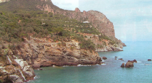
Located east of Algiers, the Kabylia region is the heart of Berber territory. Nonetheless, its name stems from the Arabic bilad al-qabail, meaning "the land of the tribes". Indeed, each Kabylian village is usually named after the tribe that originally founded it. Although the region encompasses some of the most picturesque stretches of Algeria's coastline, it culminates in mountains, in Lalla Khedidja, 2308 metres above sea level. The mountains are the source of Kabylia's regional character — one of tradition, rugged living and hearty folk. While the French took the port of Algiers in 1830 and most of the surrounding ports in the following years, the Kabylians did not surrender until 1871.
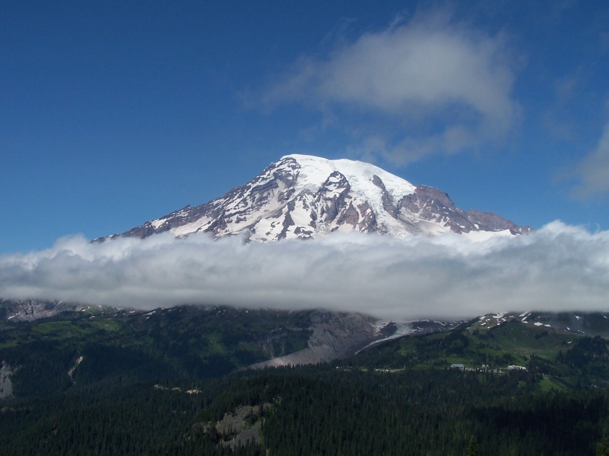
Any trip to Kabylia should start with the Durdjura, a mountainous mass topped with snow throughout the winter. The most mountainous part of Kabylia is around the city of Tizi-Ouzou. It is called "Great Kabylia"
and features superb scenery. The Romans called this area the "Iron Mountains", not only because of the ore in its soil but also because of the nature of its inhabitants, who had shown exceptional determination to resist invasion. The villages there recall rural Alpine villages . Beni Yenni is renowned for its jewelers, whose craft was developed over countless generations. Crafts enthusiasts should also stop at the "monkey forest" between Tizi-Ouzou and Bejaia, which is the perfect place to buy Kabylian pottery, distinguished by its geometrical designs.
Beni Ghobri is notable for its Roman remains and rock paintings. Nearby, the mountain village of Yakouren stands in the middle of an oak forest. In Lakhdaria, the Isser River sliced out the 19-km long gorge of Beni Amrane.
Heading east, the coastal city of Bejaia, with its busy hydrocarbon and commercial port, is the economic centre of "Small Kabylia". Bejaia is surrounded by beautiful promontories and creeks, such as the magnificent Cap Carbon, which can only be accessed through a tunnel dug into the mountain. Another awe-inspiring sight is Yemma Gouraya, the "monkey cape", which can be reached through a small winding road west of the city around a peak that overlooks the bay. The topography of the monkey cape is renowned for resembling a woman lying on her back. The spot also boasts an old Spanish fort, which was transformed by the Ottomans. Closer to the city lies another fort, Fort Moussa, also known as Fort Barral, which was built in the 16th century by the Spanish. In winter, the views from here evoke images of a Swiss lake, with blue waters and snowy mountains in the background.
East of Bejaia, the Kabylian corniche, sometimes called the Sapphire Coast, is one of Algeria's most stunning roads. Its succession of cliffs and creeks lead to Tichy, a typical sea resort attracting mostly locals and expatriate Algerians during the summer. The area is a perfect starting point to climb the Djebel Babor, which rises 2000 metres above sea level, just 15 km from the sea. The coastal road then leads to Dar el-Oued, the "wonder caves", which used to boast impressive stalagmites and stalactites —before vandals pillaged most of them.
On the way back to Algiers, the coastal road takes you past a string of beautiful beaches, such as Boulimat, which features the Auberge du Thais, arguably the most cozy resort in the area. Meanwhile, Cap Sigli, 40 km west of Bejaia, offers rich underwater fauna and great game fishing. Other stops include the fishing port of Denys and the small port of Azzefoun, which leads to Cap Corbelin, a prime diving spot, and to Rusazus, a Roman city built in the first century AD .
© 2020 Farhi Lotfi

