Types Of Maps
A map is a prop which is used to find directions and locations of different places.
There are various types of maps some of which are:
Topographic Map
A topographic map represents small areas of a city, also portraying the terrain features. In the topographic the vertical and the horizontal lines of the terrain features are present which can be measured.
The contour lines of the map basically show the shape and the elevation of the area. For example: The lines in the map which close together represent a steep terrain and those lines which are placed far apart are the indication of a flat terrain.
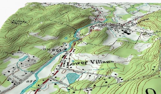
The topographic maps are made from surveys and aerial photographs and they show the entire important natural and man made places and features of an area.
Most military maps and maps that are published after a geological survey are the topographic maps.
Climate Maps
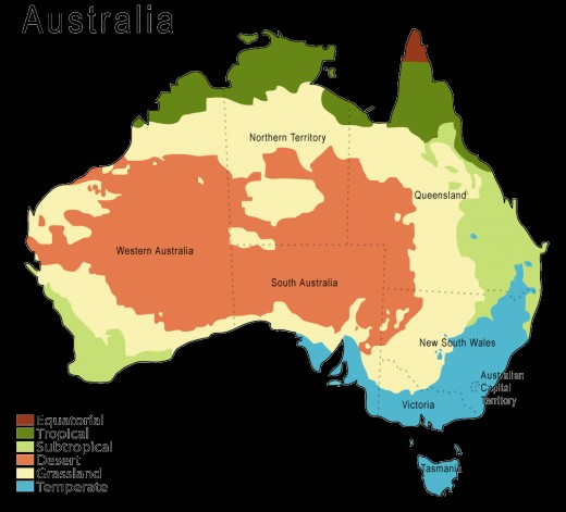
The climate maps give information about the climate of an area or a region. A climate map can be of a country, showing climates at different cities, of a continent or the world showing climate of different countries.
In a climate map different colors and illustrations representing different types of climate. For example: An extremely cold weather is represented with white, yellow is used to represent a warm weather, blue to represent monsoon and green to represent a moderate weather.
Major Earthquake Zones
- Earthquake Zones
Earthquakes are one of the most hazardous of natural disasters. An earthquake happens due to the tension put on the ground by the tectonic plates when they get jammed or stuck.
Planimetric Map
A planimetric map is the opposite of the topographic map which represents earth as a flat surface. It just points out the places and important regions of an area. A planimetric map uses fewer illustrations than the topographic map.
The topographic maps only represent the horizontal positions of the features that are represented in the map. Because of the straight lines around the features this map is also called a line map.
Resource Map
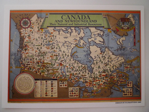
A resource map which is also called an economic map shows and represents the natural resources and the economic activity of different regions of an area.
It can be of a country or a continent or the entire world. A resource map is full of colors and illustrations that indicate features. For example: If orange dots are made on the city of a country it means that oranges are the most important recourse in the city.
Major Earthquake Fault Lines
- Earthquake Fault Lines
Fault lines are the lines that blot a frontier flanked by two tectonic tableware of the Earth's coating. In places where earthquakes frequently occur, the measurement lengthwise of these liability lines. - The San Andreas Fault Line
The San Andreas Fault line is a boundary line between two moving plates on earths crust in the western California and it is about 1100 km long.
Facts About Ocean
- Oceans
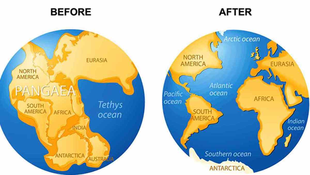
To define an ocean we can simply state that an ocean is a great of salted water. But this small definition does not explain the greatness of oceans that occupy the majority of earths surface.
Physical Map
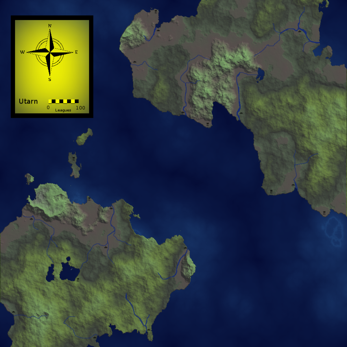
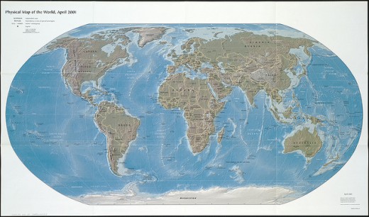
A physical map is a map that represents the physical features of an area such as: mountains, rivers, sea and lakes. The physical map is also full of colors with each color representing different physical features.
For example: Green is used to represent low elevations; orange is used to show the higher elevations. Blue is used for water, brown for mountains and yellow for deserts.
For making things more clear more colors can be used that could distinguish lets say sea from lakes, mountains from plateaus etc.
Topical Maps
The topical maps or the thematic maps provide information about a single region of an area. It may be of a city or an area of a city.
This map tells everything about that area. This map shows the important parts of the area, its climate, and its natural resources. It also shows all the important shops and firms of the areas also showing the on goings there.
This detailed map is full of colors and symbols showing different features.
Atlases or General Reference Map
The atlases or the general reference maps tell the general location of continents, countries and cities of the world.
The atlases only tell where a country or a city is located with reference to the scale, north, east, west and south and with longitudinal and latitudinal lines.
Other than that it does not give additional information.
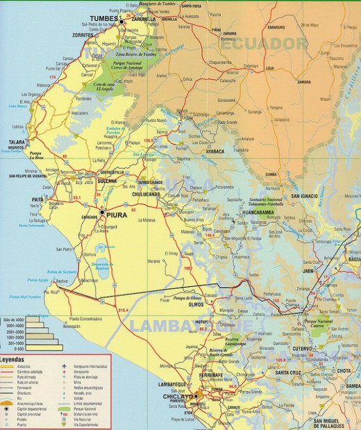
Road Maps
Road maps are of cities and towns which show all the routes of the cities and demonstrate the important roads and locations.
Road maps show the location of important hospitals, airport and buildings of the city. Road maps are very important and helpful maps, especially for the tourists visiting a city.
Political Maps
Political maps are simple basic maps which tell about the national boundaries, capital and states of a country.
The political maps do use much illustrations and are very simple, clearly indicating the boundaries between different states of the country and between other countries.

