How to Use the New Online USDA Hardiness Zone Map

A Guide for Knowing What to Plant Where

Why consult a hardiness zone map?
Many factors will affect a plant's success in your landscape—soil quality, sunlight, humidity, water and temperature among them.
When selecting plants, be sure to consider your region's plant hardiness zone. According to the USDA website, hardiness zone designations are derived from "the average annual extreme minimum temperature" in an area over the past 30 years.
Plants that are specified for your zone are more likely than others to survive the normal low temperatures that occur where you live; in fact, many of them may be native to your region.
In 2012, for the first time since 1990, the United States Department of Agriculture (USDA) updated its plant hardiness zone map (PHZM).
Now users can download, save and print national, regional and state PHZMs of the United States through the USDA website.
The USDA's new online hardiness zone map is also available in an interactive version, allowing users to learn about the climate of various parts of the country either by entering a zip code or using the cursor to select locations within the USA.
More importantly, the map has been updated to reflect climatic changes. Has your zone changed?
How to Make Your Own PHZM


New Features
Updated zones Because our climate is changing, so has the USDA Plant Hardiness Zone Map (PHZM). As of 2012, the zones, which according to the USDA are based on the "average annual extreme minimum temperature" of a given area over the past 30 years, were updated to reflect our warmer climate.
New ways to get maps Paper versions of the PHZM are no longer available through the USDA. Instead, users may download and save and/or print the maps themselves at the USDA website.
Online interactive PHZM Now users can access information about zones throughout the U.S.A. by clicking an online interactive version of the PHZM or by entering a zip code.
A PHZM of Your Own
Although the USDA does not offer the new hardiness zone map in print form, you can download and print a national, regional or state map yourself.
To create your own PHZM, click "View Maps" on the USDA homepage, or go directly to the web map page on the USDA website.
Once you're on the web map page, you'll be prompted to select the type of map of the USA you'd like to print (national, regional or state) as well as the resolution you'd prefer (72, 150 or 300 dpi). You'll also be prompted to view the map before printing.
Not interested in a paper copy? That's cool. You can save the map to your computer.
As for reproducing and distributing copies of USDA PHZMs, don't worry about copyright. As a product of U.S. Government, the map is considered part of the public domain. However, "some restrictions do apply," as they say:
1) When copying and/or distributing copies of USDA PHZMs you must leave the USDA-Agricultural Research Service (ARS) and Ohio State University (OSU) logos in place on the maps.
2) If for some reason you alter hardiness zone maps from the USDA (other than changing the format and/or resolution), you must remove the aforementioned logos and clearly display a notice that your new bastardized version of the map is not the official USDA PHZM.
MAKING STATE PHZMs

How to Make Your Own State Hardiness Zone Map

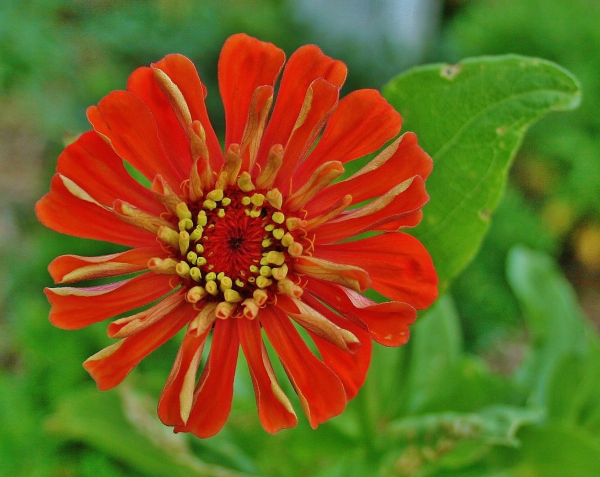
Do you check out a plant's hardiness zone before buying it?
To download, print and/or save a map of your state's hardiness zones, click "View Maps" on the USDA Agricultural Research Service homepage.
Select a State
Once you get to the View Maps page, select "State" under "Step 1" in the box to the left of your screen. Then scroll through the list of states, which includes the District of Columbia and Puerto Rico, until you find the one that you want. (Because of their size, California and Texas have two maps each,north and south/east and west, respectively.)
Choose a Resolution
Once you have chosen a state, go on to "Step 2," selecting a resolution. You have three choices, ranging from low to high resolution: Standard (72 dots per inch or dpi); Medium (150 dpi); and High (300 dpi).
Preview, Open & Save
The last step, "Step 3," allows you to preview the map you've created. You may also open it and/or save it to your computer.
Below Step 3 are additional links for creating and printing PHZMs.
MAKING REGIONAL & NATIONAL PHZMs

How to Make Your Own Regional and/or National PHZM

Regional maps can be created at the same USDA web page as state PHZMs. At Step 2, simply select "Regional" rather than "State," and then choose from among North Central, North East, North West, South Central, South East and South West. Unfortunately, the regional maps do not include Hawaii, Alaska or Puerto Rico; however, both national maps do.
To create a national PHZM, select "National" in Step 2, and then choose between a map that shows the zones broken down into A and B categories (i.e. Zone 7A, Zone 7B, etc.) and a more simplified national map.
How to Use the Interactive Map Online
The interactive PHZM at the USDA website works best with a broadband Internet connection.
To use the interactive map, go to the home page of "Agricultural Research Service" section of the USDA website. Click "Interactive Map" at the top of the page. A captcha box that contains a challenge-response test will appear. Type in the case-sensitive code in the box to validate that you are indeed a human being, not a computer program, and you'll gain access to the interactive PHZM.
To learn about the climate of a given area, either click on the map or enter the zip code in the box next to the red "Locate" button in the upper left-hand corner of the page.
Hold your cursor over the area, and an informational box will appear, providing the area's specific zone, its average low temperature, its average low temperature range, and its latitude and longitude.
Gardening by the Zone with Native Plants

About the Author
The Dirt Farmer has been an active gardener for over 30 years.
She first began gardening alongside her grandfather on her parents' farm. Together, they would plant acres of vegetable gardens, setting tomato, eggplant and bell pepper plants; sowing row after row of beans and corn; and building up mounds of soil for white squash, pumpkin, cantaloupe and potatoes.
Today, The Dirt Farmer gardens at home, volunteers at community gardens and continues to learn about gardening through the MD Master Gardener program.


