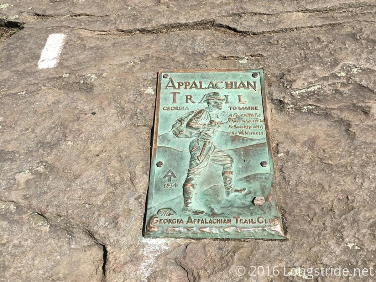
Hiking trail guide with pictures: Compton Peak in Shenandoah National Park
Definitely worth the walk to see this.
About the parking area.
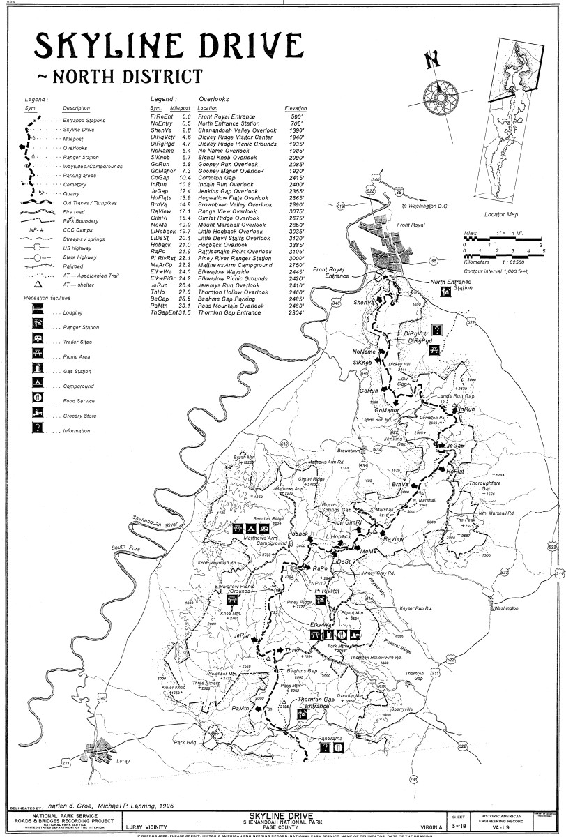
At the Compton Peak parking area (a little south of mile 10 on Skyline Drive) there is more than one choice of trails.
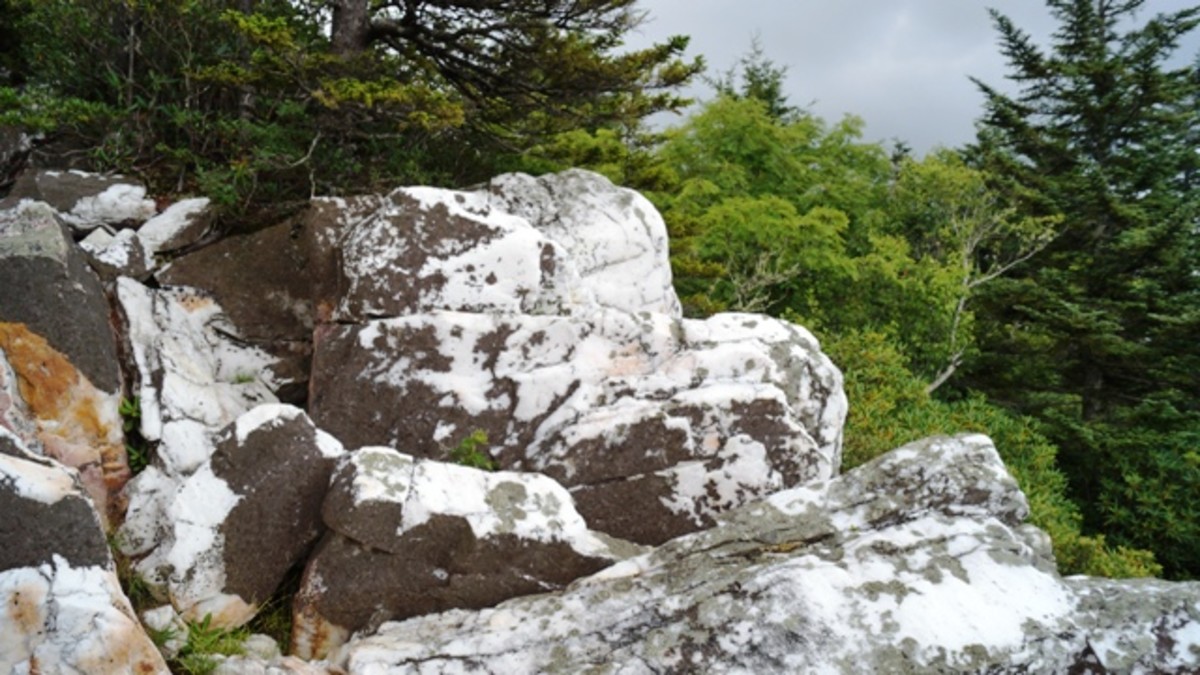
I had seen the sign for the trailhead to Compton Peak many times while exploring the north section of Shenandoah National Park. A few months before I actually hiked the trail to Compton Peak, I parked in the parking area and went the other way on the Appalachian Trail to a closer attraction, thinking that I would not have time to go to Compton Peak that particular day. That trail leads to another junction. Turning left at the junction will, after a very short walk, lead to an interesting area of large rocks or boulders. These provide a good place to sit down and rest, or eat, or simply admire nature and all the surrounding grandeur. Turning right leads you on a steep downhill hike to a spring, although there are warnings about the quality of that water.
But getting back to the main subject, If I had realized how close Compton Peak was and how easy the trail was to reach it, I would have hiked there that day instead of waiting.
More detailed information from the National Park Service
Climbing the stairs
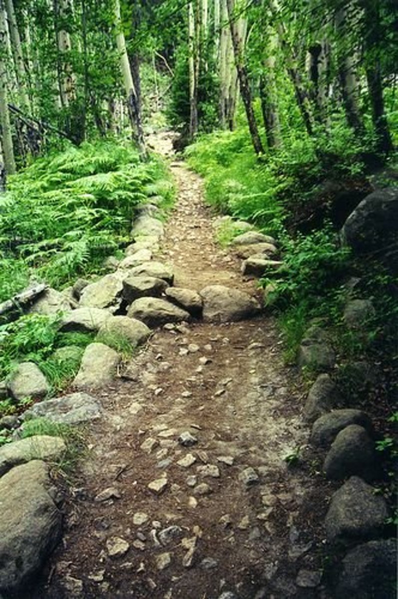
Many of the trails I hike look very similar. They are basically ordinary dirt paths leading up or down the side of a mountain with a few curves here and there and rocks, trees and vegetation on either side. This one seemed different to me. As I think about the trail as I write this the morning after hiking it, the conditions of the trail seemed to be divided into three sections, each about the same distance.
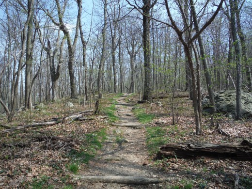
The first section, after parking the car and walking across Skyline Drive, seemed like I was walking on a stairway in a building with the soil as carpteing or perhaps a hiking trail version of a spacious wide open highway that was recently paved. On both sides of the trail were hundreds of fallen trees. They looked somewhat neat and organized and not what I expected to see. I would have expected more chaos, possibly caused by the tropical storm that came through about 2 weeks ago. This gave the sense that the trail had been recently maintained and it also took away the feeling of being "boxed in" as one can sometimes feel when walking through a heavily wooded area. In addition to the fallen trees, there were trees crossing the hiking trail at almost regular intervals every few meters. These gave the feeling that I was walking on stairs. It was nice to see that and it made the trail easier to walk, especially on the trip back down. Ferns and wildflowers were nature's decrations for this segment.
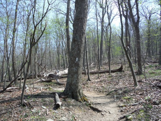
I mentioned that the trail seemed to be divided into three sections. The natural boundaries of these sections appear to be giant boulders. The "superhighway" or "staircase" I mentioned in the last paragraph seems to end just before coming to the first boulder. After this boulder, the trail becomes more narrow, rocky and not as gradual. It is a little more difficult than the first section but still not strenuous. This is more what I imagine when I think of a hiking trail.
The third section, leading to the summit, seems to start near the second boulder (which happens to be on the other side of the trail). Compared with the first two sections, this is almost level and very easy to walk. The temptation, going either direction, is to walk at a faster pace. While this is easy to do here, caution still makes sense, as it could be easy to slip and fall and injure yourself. I would not want to have to go back to the car injured.
Walking the stairs & following the trail.
Finally made it!
The summit of Compton Peak could be the end point, but I would suggest that since you went to the trouble to get to the 2,900+ foot summit, you might want to claim the reward that's waiting for you. At the top, you can continue straight (South on the Appalachian Trail) or you can choose from two side trails, both leading to overlooks.
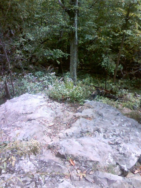
Both trails are .2 miles long and take about 5 minutes each way to walk. One is to the right and the other to the left. The one to the right starts off going uphill and then becomes a somewhat gradual slope downhill. The trail to the left is a steep and rocky trail downhill. Someone marked "OVERGROWN" next to the trail marker to the left. I took both trails, and I definitely would take the trail to the right and forget about the one to the left.
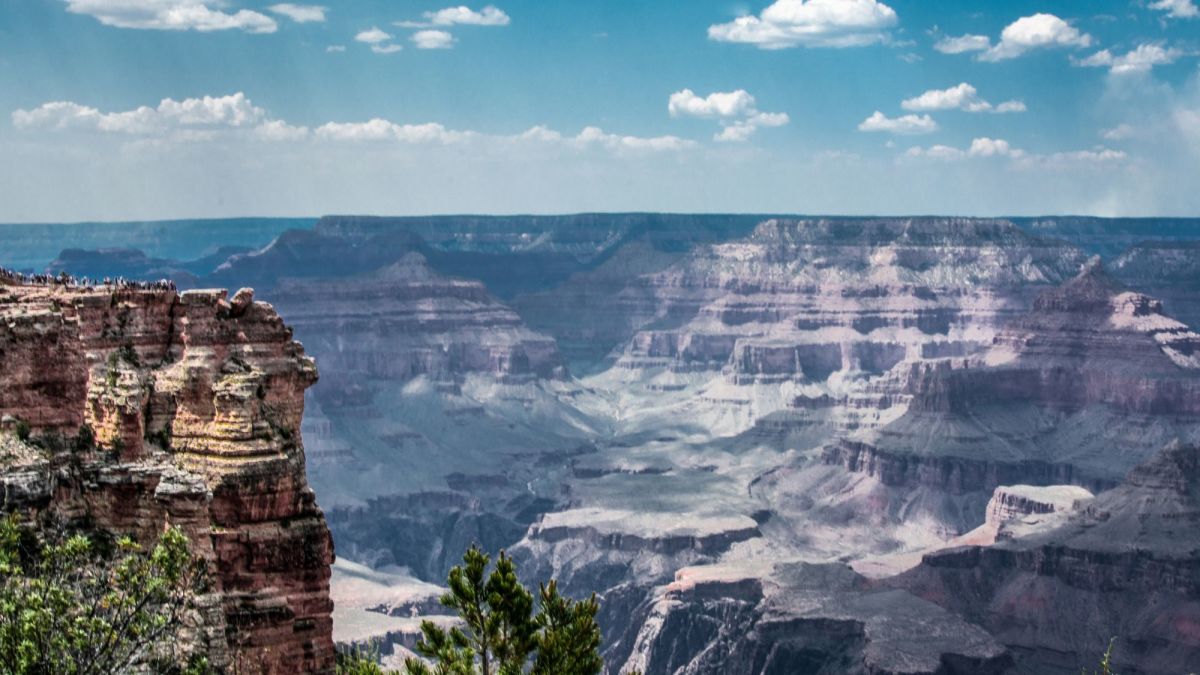
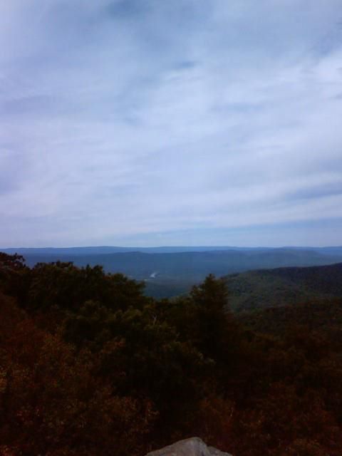
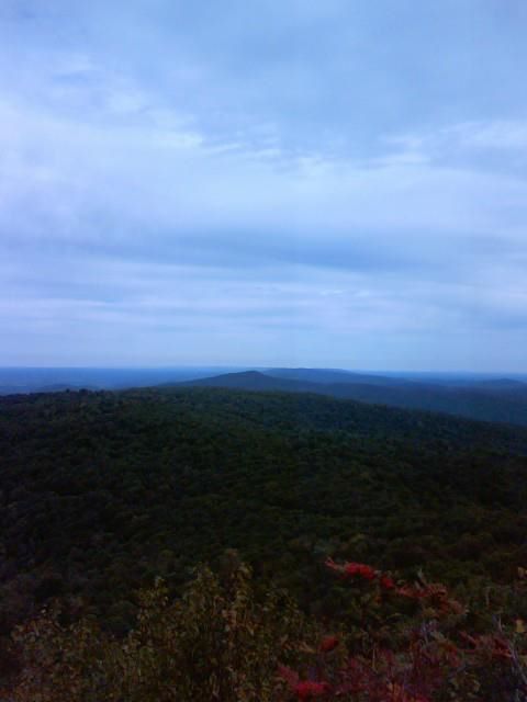
The trail to the left is strenuous, downhill, and does not lead to anything worth seeing and is a challenge on the return trip. The trail to the right is much easier and leads to beautiful views in three different directions. It is worth the walk to see these views. Mother nature provides several rocks for picnic tables and seating if you'd like. Even on a cloudy, chilly day, this is a good hike. For just a little effort, you can have an amazing view that you can not experience from Skyline Drive.
On this particular cool, cloudy afternoon in mid September, I encountered no one on the way up and 5 people on the way back who were going towards the summit as I was leaving.
Amazing Fact
*** IF YOU WALK THIS TRAIL FROM THE PARKING AREA TO THE SUMMIT, YOU HAVE BASICALLY CLIMBED THE HEIGHT OF THE WASHINGTON MONUMENT, OR ABOUT 50 FLOORS OF A BUILDING. CONGRATULATIONS. ***
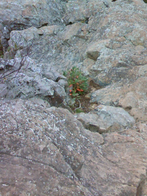
If you take the trail to the left.....
Hiking season
When is your favorite time of year to hike?
At the trail's end.
Other trails you might like
- Fox Hollow Nature Trail Shenandoah National Park Guide
I am a hiker who lives near Shenandoah National Park and every year I seem to be a little out of shape at the beginning of hiking season. The Fox Hollow Nature Trail is a good way to get back into shape without over-doing it. This article will explai - Hike the trail to Signal Knob, Va.
Signal Knob hiking trail in George Washington National Forest Front Royal, VA 22630 United States of America While Front Royal, Virginia is probably most famous for being the town at the northern tip of...
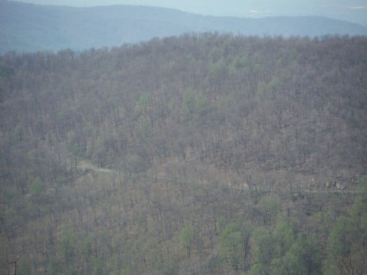
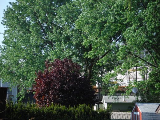
What a difference 2,500 feet in elevation makes.




A good way to burn over 500 calories.
- Hiking Workout | Endomondo
Tom Vogler was out hiking 2.44 miles using Endomondo. - Track your exercise with Endomondo: There is an App for that.
The Endomondo fitness tracking App for the cell phone gives the user immediate feedback of the benefits of their exercise and it also keeps records of these workouts for their own use and to share if they so desire. It enables something that can be d
