Hiking Noanet Woods - Dover, Massachusetts
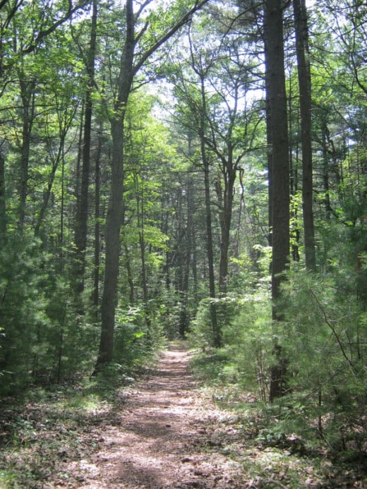
Over 17 miles of trails on 595 wooded acres link to the adjacent 1,200-acre Hale Reservation for an extended day of hiking only about forty minutes from Boston by car. Though the terrain offers some steep, short climbs, the terrain for the most part is flat or gently rolling. A climb to Noanet Peak represents a climb of about 340 feet over about two miles. Trails are well marked and maintained
Directions from Boston:
Take the Mass. Pike (Rt. 90) west to Rt. 95 south to Exit 17, Rt. 135 West. Turn left onto South St. After 1.1 mi. turn left onto Chestnut St. Continue onto Dedham St. for 2 mi. to Caryl Park where you can park.
Click Here to download a trail map.
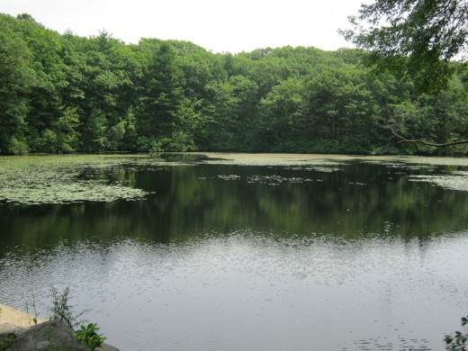
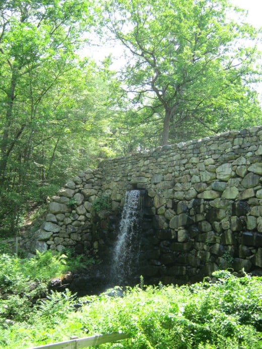
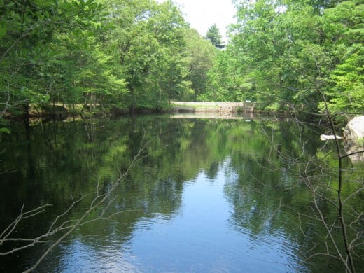
Enter the Caryl Loop Trail south from the parking lot and follow the signs that lead to Noanet Woods. We continued on the Caryl Loop past its junction with the Noanet Peak trail so that we could see the site of the old steel mill (see pictures at right). This steel mill has been gone a really long time. All that are left are interesting stonework and ponds of still water that reflect the beauty of the surrounding landscape.
Gradually climbing toward Noanet Peak (a modest 387-ft. summit), one passes through some mature white pine into groves of oak and other hardwoods a little higher up. The trails are sometimes rocky, sometimes criss-crossed with gnarled roots and sometimes smooth gravel, wood chips or pine needles underfoot. Occasional grey granite boulders dot the landscape. Soon after leaving Caryl Park, traffic noise is completely absent, although the occasional jet passing overhead on its way to Logan Airport reminds you that you are not really far from the city at all.
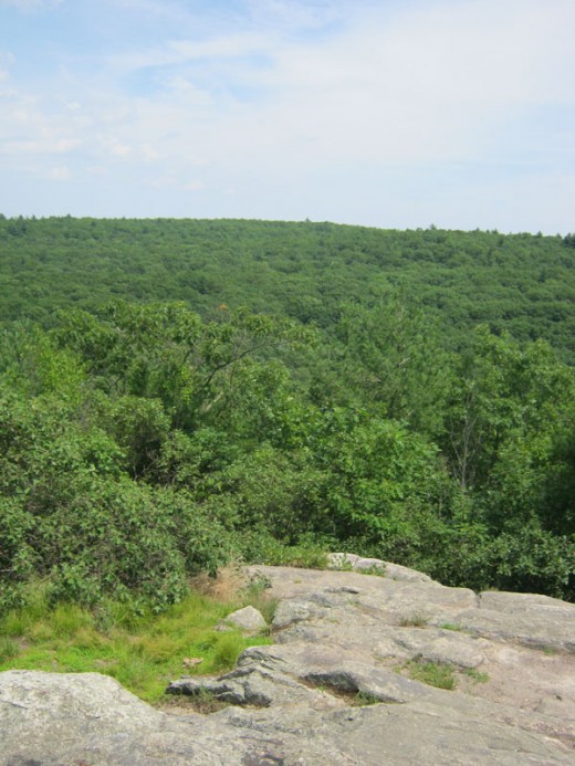
From the higher portions of the trail you can see the Boston skyline, a fine view across what seems like an almost endless expanse of trees. All in all, a fine day in the woods.
