The Hiker's Basics
What I've Learned So You Don't Have To
I'm going to borrow a phrase from our current president and say, let me be clear - I am not a professional hiker and I never will be. I wouldn't even say I am a hiking hobbiest. I'm more of a hiking enthusiast , in that I am enthusiastic about the idea of hiking until it comes time to actually strap on the backpack, turn in the plan and forage into the great beyond on my own.
That said, I have quite a lot of hiking experience; far more than one would expect from just looking at me. My body is untoned, my carriage a bit bulky for someone who enjoys outdoor adventures. But there's a big difference between those experienced, serious hikers and someone like me who enjoys hitting the local trails and has no intention to backpack the Appalachians, Himalayas or even downtown Los Angeles. If you're like me, and want to make the most out of your hiking when you do come to it, or wake up one day and decide "Hey! let's take a hike" then this article is for you.
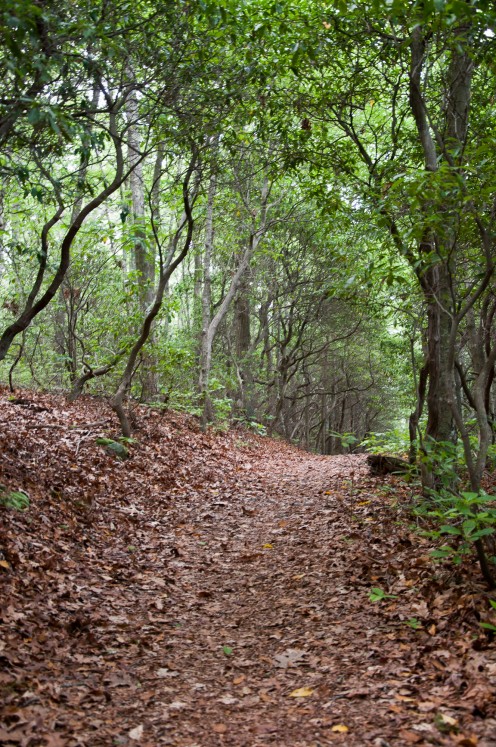
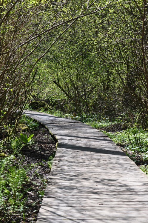
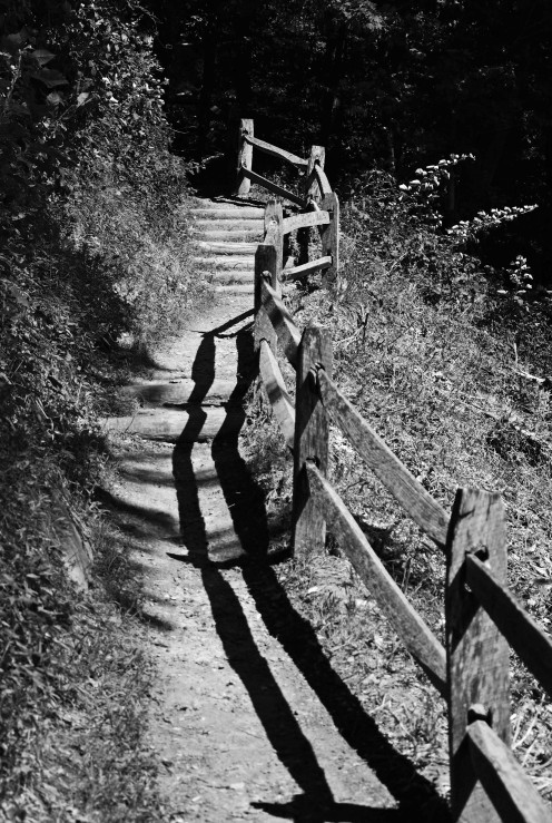
Trails Come in All Shapes and Sizes
Let's Prepare
Like most things outdoors, preparation is the vital key to an enjoyable hiking experience. That, and not altering your plans too much from what you prepared for. You need to make sure you are dressed and equipped properly for any foray into the forest.
- Wear loose fitting, light-weight, comfortable clothing. You are going to sweat. You are probably going to get a little dirty. You probably don't want to be camouflaged, especially during hunting season or when traveling in a group.
- The right shoes are vital to an enjoyable experience. Hiking boots are always an option - but not if they're brand new. You want something broken in or your feet will be complaining days afterward. Tennis shoes work fine on most trails as long as they have good soles. Thick, comfortable socks are another essential - and bring an extra pair for longer hikes.
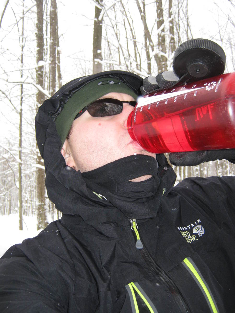
- A hat, jacket or sunglasses are worthy of consideration depending on your location.
Next, you need to know where you're going and I don't mean "Shenandoah National Park". What trails are you planning on taking and how long are they? Where are the bathrooms and supply points? Where is the ranger station or first aid? The answers to these questions will inform the rest of your planning. For example, if you're planning a hike at high altitudes, you'll probably want to add a jacket to your clothing. A night hike will need flashlights but you can ditch the sunglasses.
Finally you'll need to consider what supplies you need to take with you. If you're just heading to the local state park to walk a quarter mile loop trail, you might not need more than water and sunscreen. The longer your trip, the more you'll need to think about carrying with you. Some options:
- Sunscreen and bug repellent should be staples for any outdoor activity, hiking included.
- Water is absolutely essential. I use a canteen that clips to my satchel or backpack with a carabiner. Water is heavy so you want to know where you can resupply on longer trails and only carry what you need.
- Healthy, energizing food that won't spoil in hot weather. Granola bars, PB&J sandwiches on wheat bread and fresh fruit are great options to give you essential nutrients.
- Basic first aid such as bandaids, an Ace bandage and disinfectant.
- A comfortable backpack to hold everything.
- Hiking stick
- A camera to document your journey.
Hitting the Trail
Once you arrive at your destination be sure to secure your vehicle. Don't leave valuables, animals or people unattended when you will be gone for an indeterminate amount of time.
First, check out the trail map on site. Notices such as trail closures, weather conditions or animal and plant warnings will be posted on the boards with the maps and rules of the park. Trust me, you'd rather have to alter your plans before you start up a hill than halfway down the trail when you find out flooding or fallen trees have blocked your path.
If you're hiking a long distance, camping overnight or taking high-risk routes you will want to check in with the park staff or rangers. Let them (and someone else back home) know where you are going and how long you plan to be gone. If you don't already have it, get a phone number for the park office or ranger's station just in case you need to reach them. Although cell phone coverage is spotty in many parks, this is changing. For example, on my last trip through Shenandoah National Forest we had cell phone coverage 95% of the time we were in the woods.
Once you're off, stick to your plan as best you can. Walk at a steady, even pace. It's easy to get caught up watching the trail in front of you but make sure you're also looking up, out and around. You don't want to miss the forest for the rocks on your trip.
When Things Go Wrong
Inevitably, some plans go awry. Sure, scaling to the top of Mt. Hammerhead sounded like a great idea when you looked at the map but once you hit 1,000 feet up you find yourself feeling dizzy and nauseous. Don't feel bad if you think it's better to stop and rest or turn back early. Hiking maps often note the distance of trails and nearby bodies of water but few note the altitude changes, terrain or amount of shade vs. sun. Don't follow trails you are unsure of or don't look maintained unless you're familiar with the park. If an injury does occur, it usually means it's time to think about heading back.
Hiking involves exercising common sense, no matter what you feel your abilities are. As an example, I'd like to share this story about a trip my husband and I took to Hopeville Pond State Park and Pachaug National Forest:
We were camping in Hopeville but the meat of the hiking trails were in adjacent Pachaug Forest. We had water, lunch and photography equipment with us and we were wearing our broken in boots, loose clothings, hats, etc. As we were heading out to the Nehantic Trail, a park ranger warned us it would be a hot, humid day - not ideal conditions for long hikes. We probably should have changed our plans there to a shorter hike but then I wouldn't have the rest of this story to tell you.
Our planned route was about 2.5 miles to a picnic area in Pachaug where we would have lunch and look for a few geocache sites nearby. The first part, inside Hopeville, was easy - flat ground, soft trails, open forest. Once we crossed into Pachaug though, that changed immediately. We found ourselves scrambling up a steep ravine full of tall, sharp grass that prevented us from seeing strewn boulders lying buried in it. I nearly twisted my ankle a couple times and banged more than one toe on the rocks. At the top of the gully the trail opened into a nettle-infested grassy trail alongside a farmer's field (with no trespassing signs everywhere) under the hot nearly-noon sun. By the time we got back under the trees we were sweating buckets, exhausted, stung and bruised. When we finally reached the picnic shelter, I could barely eat. I wanted nothing more than a cold shower and a nap.
At this point it's more a "bad luck hiking tough ground on a hot day" story - but here's where the common sense should have kicked in. We located one geocache in the woods near the picnic shelter but the other was at the top of Mt. Misery. According to the cache info my husband had found, from the first geocache's location it was only 160 feet to the top of the mountain. I could see my husband salivating to find the second geocache so I let him persuade me to go the last 160 feet, which presumably would also have a great view of the surrounding area, being the top of a mountain and all.
Well, it was about 160 feet - but almost entirely vertical switchbacks. As we started up the first rise, a rumble of thunder in the distance alerted us to the quick-moving dark clouds overhead.
"We should turn back," I said.
"We can be up and down in no time. C'mon, the sooner we start, the sooner we'll be done," my husband replied.
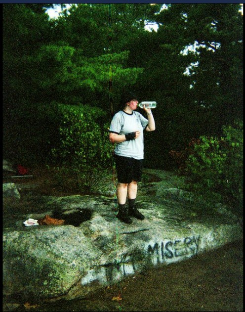
Sighing, I followed him up the trail. The other hikers we passed (all on the descent) looked at us like we had three heads, wanting to go up the mountain as the storm was rolling in. It was by far the most strenuous path of the day and just when I felt like really giving up, we were there, at a rocky glen on the top of Mt. Misery, some 400 feet above the rest of the countryside.
And I Mean, REALLY Wrong
I stopped to gulp some water down. My husband snapped two shots of the top of the mountain.
In some cosmic sense, I am confident the storm waited until we finally got to the top of Mt. Misery, so that it could show us the error of our ways. There was precious little shelter and the bags holding our camera gear were not exactly waterproof. I stood in the shelter of a stunted juniper as the rain came pouring down in sheets, obscuring any view greater than ten feet and soaking me to the bone. My husband, absurdly, was still trying to locate the geocache. I pleaded with him to go but since we were already wet, he figured we might as well get what we came for. Until a rumble of thunder like the strike of a bowling alley accompanied an uncomfortably close flash of light.
"Well if you couldn't talk sense into me, that sure did," he said. Back down the trail we went, only now we were accompanied by all the water flowing down from the summit. The trail became a creek, then a river, then a flood up to our knees. I almost wanted to sit and let the water carry me down, except for all the large sharp rocks we'd passed on the way up. Twice the lightning cracked almost on top of us, so close our hair was standing on edge. By the time we reached the forest floor all thought was focused on survival and speed.
We made our way through a fern-covered grove toward the paved road that ran between Pachaug and Hopeville. As we emerged from the shelter of the trees, the rain stopped and the sun came out again. The humidity resumed at an even more oppressive level. Silently, we began following the road back to our campsite, knowing all too well it was another 2 miles or so away. Every step was agony. Everything in the pack was soaked. Everything I was wearing was soaked and sticking to me. As I watched my husband tromping along in front of me, I vowed with every step to kill him in his sleep. I entertained myself on the hour or so it took us to walk back to the camp with mental images of his head on my hiking stick, standing in front of our tent, a warning to all who passed about going up mountains in the rain.
Epilogue
Obviously, we survived our little adventure and are still happily married. It's a great story to share at parties. But it goes to show how far a little common sense goes when you're planning a hike. Learn from the mistakes we made, so you don't find your own appropriately-named Mt. Misery. But above all, get out and enjoy nature. You won't regret it.

