Global positioning system Applications

What is Global positioning system?
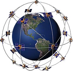
Technological advances have completely altered the world. The world we saw yesterday is completely different from what we see today. Applications of technology have completely altered the world. A typical example of technological innovation that changed the face of the world is the Global positioning system (official name is NAVSTAR GPS), which is the brainchild of United States Department of Defense. The system is managed by the United States Air Force 50th Space Wing. It is the one and only GNSS that is completely functional, and can be used freely. This is commonly used for navigation purposes. GPS make use of a constellation of between 24 and 32 Medium Earth Orbit satellites. These orbit satellites send out radiowave signals. GPS thus determines its present location, time and velocity. GPS revolutionized the world of commerce, land surveying, map-making and various other fields. From the very day it became fully operational, it found its application in scientific and navigation fields. GPS is now the most valuable aid in the navigation field. GPS find its application in the field of scientific study of earthquakes also. GPS is a key synchronization resource useful for cellular networks. For example Qualcomm CDMA air interface is utilized by several wireless carriers in several countries.
Applications of GPS
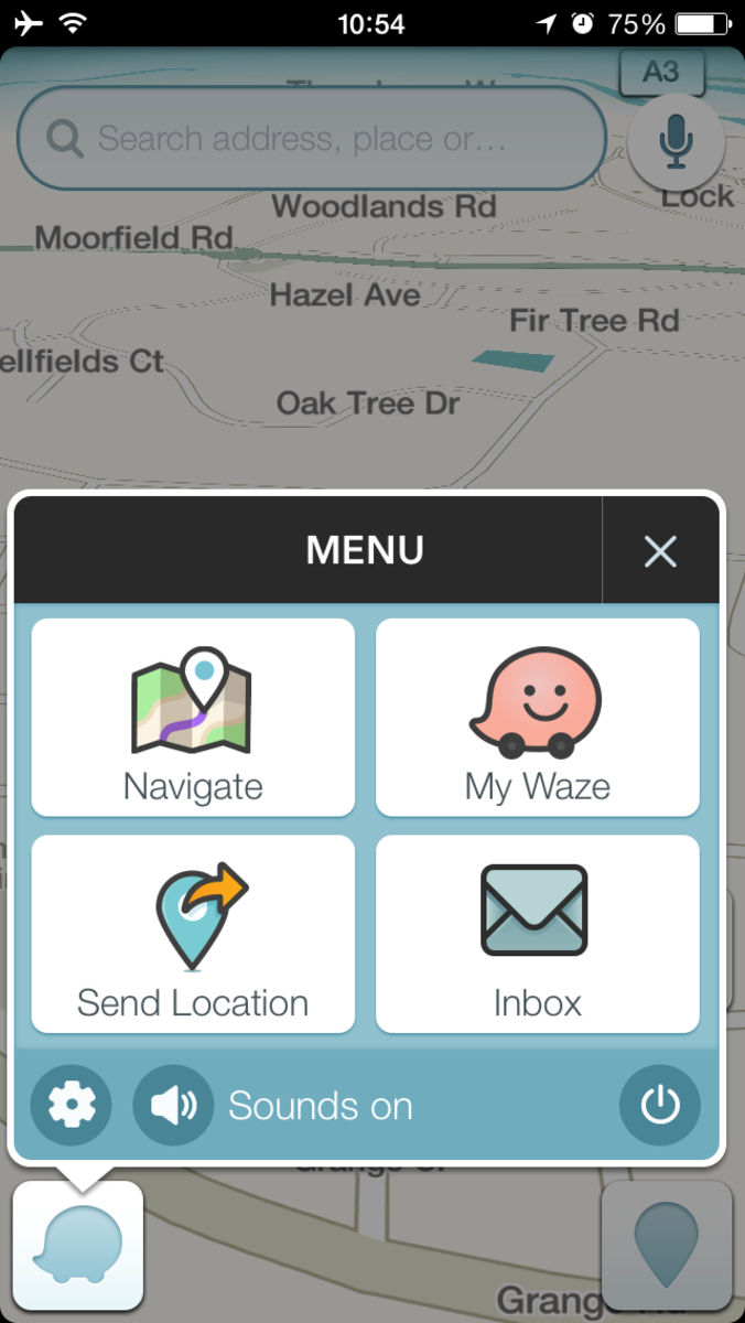
GPS apps
The wide applications of The Global Positioning System changed the world for good. GPS was initially a military project; it involves a dual-use technology. It has innumerable applications not only in military but also in civilian industry. Navigation is the most important field which was benefited through GPS.
GPS in military uses
Military weapons use GPS
GPS helps the military people to locate objectives in unfamiliar place (or darkness) so as to coordinate the movement of troops and required supplies. The GPS-receivers used by military people are known as Commanders Digitaal Assistant (used by commanders) and the Soldier Digital Assistant (used by soldiers). Target tracking is yet another application of GPS. Military weapons use global positioning system to identity air targets and potential ground once they are flagged as hostile. These weapon systems pass GPS co-ordinates of targets to precision-guided munitions. This is to make them engage the targets properly. Military aircraft, for example, the ones used in air-to-ground roles makes use of GPS to locate targets. Gun camera video from AH-1 Cobras in Iraq exhibits GPS co-ordinates that are visible in Google Earth.
GPS in missile
GPS is further used in missile as well as projective guidance. It helps to accurately track military weapons like cruise missiles, ICBMs, and precision-guided munitions. Artillery projectiles having embedded GPS receivers that can withstand accelerations of 12,000G are prepared to use in 155 mm howitzers. GPS is a wonderful system that enables effective search and rescue operations. Downed pilots are traces easily with the help of GPS. GPS also find its use in Map creation and reconnaissance. The GPS satellites maintain a group of nuclear detonation detectors. They include an optical sensor (Y-sensor), an Electro-Magnetic Pulse (EMP) sensor (W-sensor), and an X-ray sensor, a dosimeter. These constitute a good part of United States Nuclear Detonation Detection System.
GPS in civilian field and navigation
GPS has got wide range of applications in civilian field also. Several civilian applications make use of GPS signals for variety of purposes. They use any of the three main components of GPS, relative movement, absolute location, or time transfer. As GPS helps navigators to locate the receivers’ exact location, GPS is used as a surveying tool. With the help of GPS they can find relative movement so that they can figure out velocity and orientation. This technology is useful in vessels and other fields where earth observation is performed. Synchronize clocks to exacting standards makes time transfer possible. This is important in big communication and observation systems. GPS tours is yet another civilian use of GPS. GPS helps determine the content that needs to be displayed. For example, GPS gives us the information about a building or a monument as we reach them. Mobile phones have also started using the service of GPS.
GPS for scientists
Moreover, global positioning system helps scientists to study the earth environment like gravity field, atmosphere and gravity field. GPS survey equipment has also brought significant advancement in the fields of tectonics (as it can track the movement of faults in earthquakes).
GPS applications for Android
Phone based GPS applications are found to be having more advantages than personal navigation devices. Phone based GPS systems can successfully accomplish several difficult tasks that are generally not performed without the help of a wireless data network. GPS thus explain how technological advances transform the world.


