RSOE EDIS: One of the Best Sites I've Ever Stumbled Upon
During my daily morning stumbleupon internet surf session, I came across one of the best websites I have ever seen.
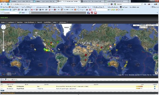
How would you like to have an interactive world map, with real time indicators of every disaster as it's happening? Bat Man Style......say hello to
RSOE EDIS WORLD ALERT MAP
...This morning I read that at 5 am Friday morning there was a major dam collapse in Zhoushan (Zhejiang Province) China, due to flooding. That there were also several earthquakes today(at least one major quake in Ahar, Iran).
I read that there's a case of animal rabies reported in northern New Hampshire (apparently a fox attacked two people as they were walking their dog, the second fox reported in a month), and that there is reportedly a higher than average number of shigellosis cases in Douglas county Nebraska,… all before I could finish my first pot of coffee.
In this article I’ll explain this site, how to use it, and give tips to further explore some of the emergencies if the information on the map is limited.
RSOE EDIS --"Prepared Citizens - Prepared Communities".
The Hungarian National Association of Radio Distress Signaling and Infocommunications (RSOE) manages the EDIS (Emergency and Disaster Information Service) from within it's own website.
Their objective is to monitor (and document) all emergencies and disasters on Earth as they happen. They monitor events 24 hours a day and broadcast in "near" real time. Let's explore the map.
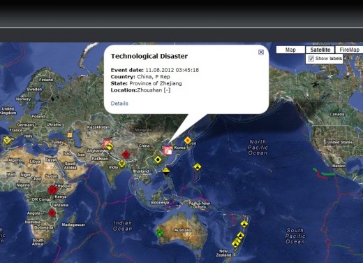
As you can see by just looking at the map, there is always something going on, somewhere. This map not only gives you a real time world view, but you can use this information to go deeper into any given disaster.
For example, the major Dam collapse in Zhejiang, China that I mentioned. I found this information by:
- Clicking on the flashing map icon in China, which opens up a pop-up window which read "Technological Disaster".
- Clicking "details" to see what kind of technological disaster this was.
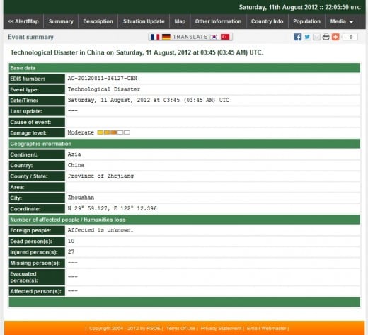
Unfortunately, not much more information was available from the details page.
***So I then
3. copied and pasted the EDIS number into Google:
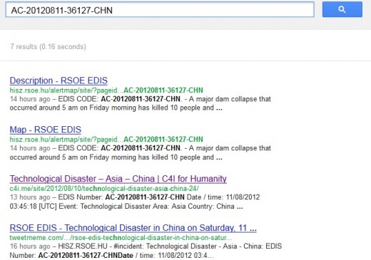
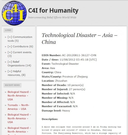
I was then able to find an article which was directly linked to the EDIS number. I found another good website, C4I for Humanity.
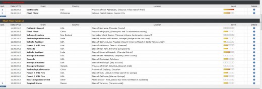
RSOE EDIS has other great site features besides the map. If you scroll down (use the slider bar NOT your mouse wheel -- the map is interactive much like google maps), you will see event summaries in multiple categories, as well as a "level" indicator to the far right.
If you want more information, you can click the "details" icon on the far right and follow the same process as described above for the China dam collapse.
This is, by far, one of the most informative and impressive websites I have come across yet. It's awesome to be able to start your day with a world view, and, once assessed (in ten minutes or less), you can put down the site down and get on with your day!
