The Use of Unmanned Aerial Vehicle (UAV) in Sensing & Mapping

Introduction of Unmanned Aerial Vehicle (UAV)
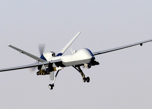
The unmanned aerial vehicle is a small aircraft that operates without a pilot, therefore, completely relying on the automated systems. The operations mode of a UAV can differ. It can be controlled by a pilot on the ground similar to that of a drone or it can fly with the help of programmed flying algorithms.
The UAV is not a recent innovation. It was developed decades ago. During its initial days, UAV was primarily used by the military only. The initial concept of a UAV was first adopted by the Austrians during 1849; however, later it was used by different countries around the world. With the passage of time, the use of UAV has been transformed. In the year 2014, Amazon generated the idea of delivering packages with the help of UAVs. Moreover, its use for mapping for GIS and photography has also been very common these days.
UAV application offers an idea of social and civic area applications in which single or numerous UAVs are utilized. As the roadmap of the UAS incorporation into the worldwide airspace is formulate during the recent problems, it is only rational to think that the band of possible uses will be much broader in the future.
— Kimon P.Valavanis & George JWorking Mechanism of a UAV
The unmanned aerial vehicle is usually built with the help of lightweight materials which can ensure a stable flight of the aircraft. The lightweight helps it in smoothly maneuvering, which allows the aircraft to fly at high altitudes despite having basic flying capabilities. All the UAVs have built-in cameras and GPS, which is the most primary feature. The nose of the aircraft is installed with different sensors and navigators which determines its motion in the air. The materials used to built a UAV is a highly engineered and complex material, which is capable of absorbing vibrations and to eliminate noise. The aircraft is been aloft with the help of the onboard sensors. All the drones are programmed to a certain extent in order to control its flight if the human controller does not perform the flight operation precisely. Moreover, it is also pre-programmed to have a smooth landing.
Data Collection Through UAV
One of the major functions of the UAVs is to supply large-scale coastal scanning along with reef tide analysis. The information generated is used to carry out detailed studies for research purpose. The major benefits gained with low-cost UAV structure are mainly for low altitude platforms of the littoral zone. It also has advanced efficiency in flying with the help of pre-programmed flight routes and data, which is considered to be very useful for surveying the amount of time span during low tides.
Such type of low-cost device used for the purpose of autonomous programmed aircraft flights is nowadays common in the commercial market. With the help of this advanced technology, high-resolution specifications of the littoral zone with small target precisions can be achieved. These features help in achieving the précised mapping which is very difficult to get with the help of other mapping instruments available in the market. The UAV also helps in gathering higher frequency temporal data of a specified area.
© 2018 Rahma Khan