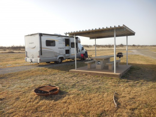
American Locations 5 - San Angelo State Park, Texas

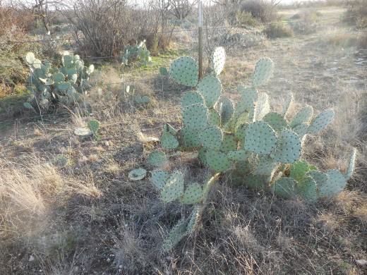
From Lake Mineral Wells State Park we drove south on Hwy 281 to Interstate 20. We continued west on I-20 to Abilene, where we turned south on Hwy 277 to San Angelo. At San Angelo State Park, about midway between I-20 and I-10, Texas begins looking like what you expect Texas to look like. Cactus.
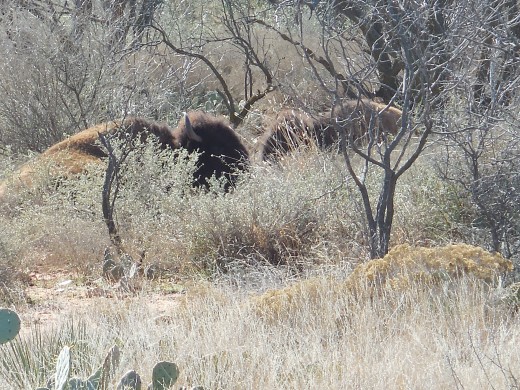
And bison
And not much water.
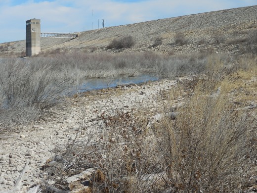
I was confused first time I looked at a map of the park. There were hiking trails passing right through the lake. I thought they must have built some bridges or boardwalks across parts of the lake for some reason. Then a ranger explained to me the water level had dropped drastically, in fact they were in a draught that had been going on for decades. The trails on the map were drawn on an old image of the lake which showed the water level at its previous height. So it only seemed on the map that the hiking trails went through the lake.
Another strange thing at the park was the boat ramp to nowhere.
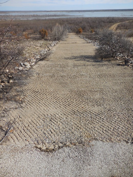
Originally, when the boat ramp was first built, it reached the water. But the level of the lake has dropped so drastically it ends a good football field length away. The dirt road in the picture going off to the right is what people use to haul their boats down to the lake today.
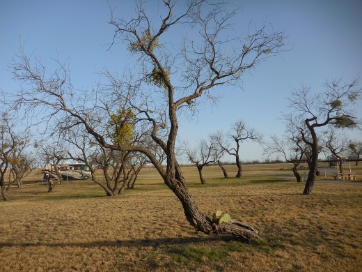
Something I wasn’t expecting to see was mistletoe. I’m a northerner and am used to associating mistletoe with Christmas. Right along with sleigh rides and snowmen. Not something that grows on trees in the desert. But it does.
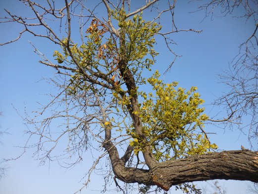
That’s mistletoe in the treetops. How it ever got associated with icy cold Christmas I have no idea.
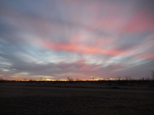
I hope their draught ends soon. In the meantime, they have some incredible sunsets, the kind that seems to only happen in the wide open skies of the American Southwest.