A Dry And Sunburnt Land: Outback New South Wales
My Country
A Poem by Dorothea Mackellar (1885-1968)
The love of field and coppice, Of green and shaded lanes, Of ordered woods and gardens Is running in your veins. Strong love of grey-blue distance, Brown streams and soft, dim skies I know, but cannot share it, My love is otherwise.
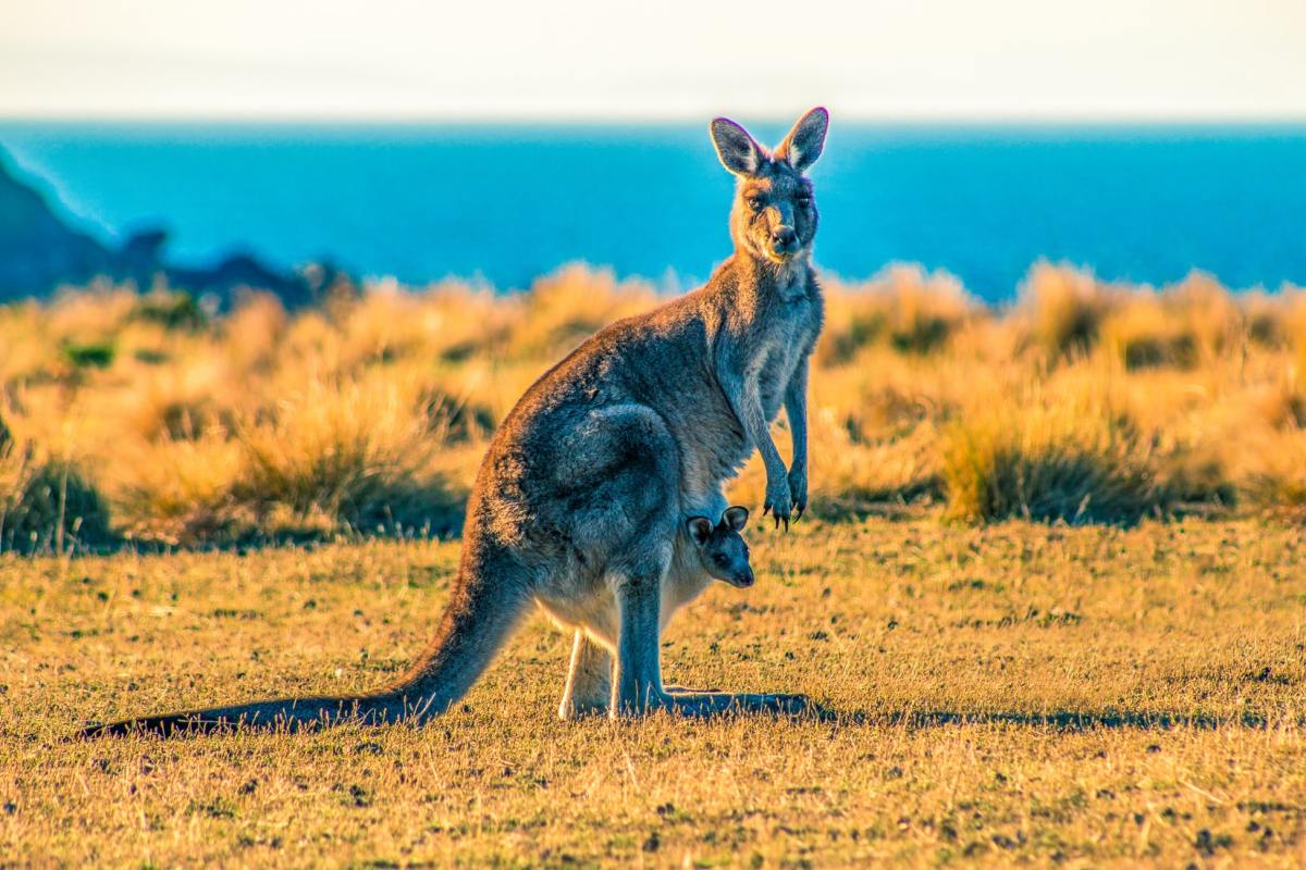
I love a sunburnt country, A land of sweeping plains, Of ragged mountain ranges, Of drought and flooding rains. I love her far horizons, I love her jewel-sea, Her beauty and her terror The wide brown land for me!
The stark white ring-barked forests, All tragic to the moon, The sapphire-misted mountains, The hot gold hush of noon, Green tangle of the brushes Where lithe lianas coil, And orchids deck the tree-tops, And ferns the warm dark soil.
Core of my heart, my country! Her pitiless blue sky, When, sick at heart, around us We see the cattle die But then the grey clouds gather, And we can bless again The drumming of an army, The steady soaking rain.
Core of my heart, my country! Land of the rainbow gold, For flood and fire and famine She pays us back threefold. Over the thirsty paddocks, Watch, after many days, The filmy veil of greenness That thickens as we gaze…
An opal-hearted country, A wilful, lavish land All you who have not loved her, You will not understand though Earth holds many splendours, Wherever I may die, I know to what brown country My homing thoughts will fly.
Mildura via the Kidman and Sturt Highways
I left St George at 6am on Australia Day 26 January 2003.
I wanted an early start so that I could clock over quite a few kilometres before the day became intolerably hot.
It was a total of 1450kms to Mildura which was located in western Victoria just over the New South Wales border.
I was on my way to Mildura to work in another vineyard but this time my job was in the packing shed and not the paddocks. Seasonal work was easy to pick up through one of the many employment providers if you were in the right place at the right time. It was even easier and probably more reliable if you could tap into the backpacking network. This word of mouth was a very good source of information because you got the low down on the good and bad employers, working conditions or pay rates from workers who had already been there.
From St George I travelled to Hebel, which I had already previously visited, where I crossed the Queensland state border into outback New South Wales. I continued onto Walgett going through the opal mining town Lightning Ridge, which is the world's richest deposit of black opal.
The town of Walgett is influenced by a strong indigenous culture. Up until now, I am ashamed to say, I had never been exposed to the Australian Aboriginal culture. Being born and raised on the Gold Coast and living a cosmopolitan lifestyle I think I could go so far as to say I was barely aware of their culture apart from what I read or saw on television. The saying "what we don't know, we fear" definitely applied to me in this instance. I did not want to stop when I drove into this small town, but I needed to refuel so I had to. The service station where I refuelled was surrounded by a high wire fence topped with barbed wire. Before I had left St George several people told me not to stop here or if I had to stop for lunch to eat it in the Police station! Due to my ignorance I felt very nervous and ashamed.
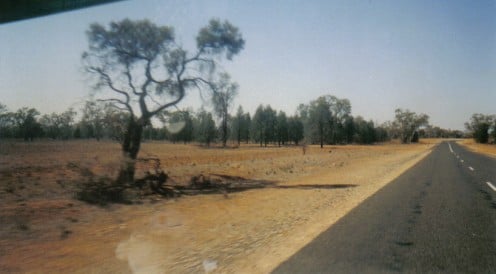
This was the first time I had ever been to this part of outback New South Wales and I was seeing it during the severe drought of 2002-2003 and what I saw was a country that was in a malnourished and skeletal condition. The earth was stripped bare. Where there should have been flourishing farms there was silence. In some cases farmers had abandoned their properties because they could not meet bank loan repayments. It was an emotionally and financially stressful time for the Australian farmers, their families and their communities.
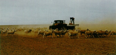
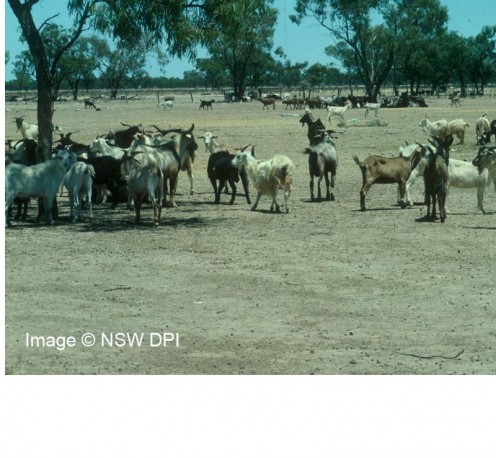
The roadside was littered with dead carcasses of birds, kangaroos and feral goats. What I found the most disturbing was the large number of sheep wandering along the highway. The foxes were presented with a smorgasboard of easy prey. Apparently the starving sheep were set free by the farmers in the hope that the sheep stood a better chance of survival foraging for food and water. Their only hope was if it were to rain very soon and that was not going to happen. The farms and farmers could no longer support these poor sheep who were so thirsty and emaciated. It was difficult to remember that Australia had achieved its prosperity by 'riding on the sheeps back'.
The Oldest Man Made Structure in the World
Throughout Brewarrina’s past, hunters and gatherers clustered along the banks of the river system and built what is thought to be today the oldest man made structure in the world- the Aboriginal rock fish traps- estimated to be over 40’000 years old.
I continued on to Brewarrina which is another Aboriginal community nestled on the banks of the Barwon River which seemed to contain quite a bit of water. The local Aboriginals fondly call their town 'Dodge City'. I don't know the reason for this but if I were to take a guess I'd say that it was a nice little place to run to when life got tough. Brewarrina is where the Barwon River ends and the Darling River begins. The little town park was quite green and the external walls of the half dozen or so shops were covered with artistic paint work. It was like driving into an oasis and I naively thought that the drought affected country was behind me.
Back O' Bourke
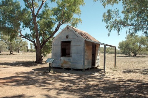
Another 100kms on from Brewarrina and I am in the outback town of Bourke.
Back O' Bourke is an Australian colloquial term meaning to be a long way from civilisation. You may be a long way from what most people call 'civilisation' but the further out into this land Australlia you go, the closer you get to the heart of its nature.
Henry Lawson, a famous Australian poet wrote in 1882: "if you know Bourke, you know Australia".
After doing a quick drive around town I ate lunch in one of the parks. I liked the feel of this town despite the apparent segregation of its inhabitants and its reputation for being rough. I had the privilege to visit here again in 2006 when is was looking very green with gardens full of white roses.
It was time to keep going. I got onto the Kidman Way (highway) and headed south to Cobar, a distance of 160kms.
The devastation of the drought continued. There was very little traffic on the road, if any. I was travelling in the heat of summer, during a severe drought and in the Australian outback of New South Wales.
About the only other signs of life were the black crows with their high pitched squarks feasting on carcasses by the side of the road. They seemed oblivious of the fact that the lethargic landscape as far as the eye could see and beyond was in the throes of death. There was something hauntingly spellbinding by the whole scene.
Around 3.30pm I arrived in Cobar and headed for the first motel I saw. I checked in and turned the air conditioner on and had a lovely cool shower.
I had driven 680km since leaving St George. I was exhausted more from my own thoughts rather than the actual driving.
Once I had cooled down and relaxed with my coffee I made a few phone calls. Then it was time for dinner and an early night as I wanted to get another early start in the morning.
I still had 800km to go until I reached Mildura, but I had decided to do that over two days. My destination for the next day was Hay.
Wanted: Information on Mount Hope
This form is on the About New South Wales government website.
If only I had stopped to take some photos and have a chat with the locals I would have been able to contribute some valuable information to our Government!!
ANSW Suburb Article Data
We don't have any content for that suburb yet, can you suggest some?
We'll review the data and may include it on the About New South Wales website.
Please leave your contact details in case we need more information. * Required
What is your name? *
Please leave your email address *
Is this the correct name for the suburb? *
Do you know anything about its history?
What's it like there nowadays?
Any other comments?
Do you have any photographs of the suburb that you'd be prepared to add to the About New South Wales site?- please tell us about them.
The Hay Plains
Today I planned to travel the 470km to a town called Hay.
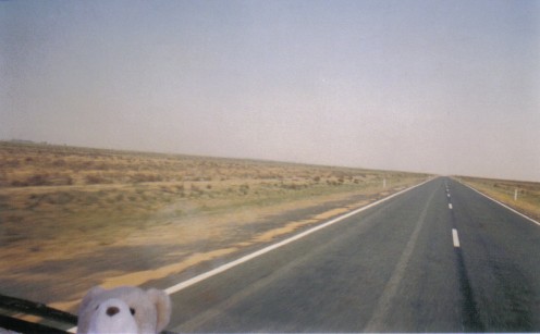
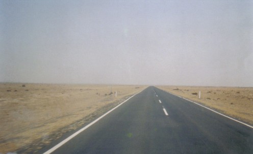
The scenery along the Kidman Way remained remarkably unchanged and it got hotter with every passing minute if that was possible.
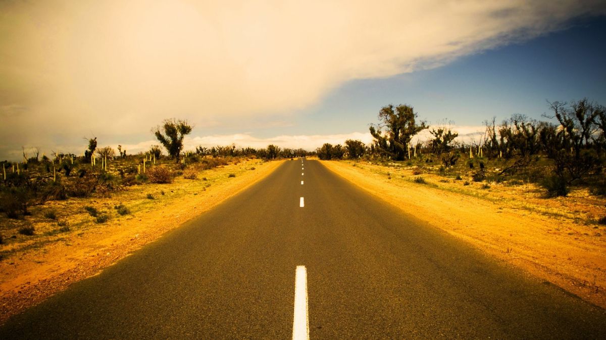
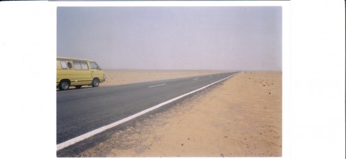
My little yellow sub and I continued following the straight white line down the centre of the bitumen listening to country road music. Slim Dusty and his songs and ballads of Australia accompanied me all the way around the continent. The CD I absolutely murdered was Slim Dusty and Anne Kirkpatrick (his daughter), which I replaced twice. Once it got damaged or worn out and the second time it was stolen! I couldn't get enough of his songs "End of the Bitumen" and "Tracks I Left Behind". I guess it isn't everyone's kind of music, but it is totally Australian. His song "We've Done Us Proud" should have been our national anthem in my opinion. It brings tears to my eyes and a warm fuzzy feeling in my chest every time I hear it. My other favourite was Terri Clark's "How I Feel". It was probably just as well I was travelling alone.
To break up my day I stopped early for smoko at the Gilgunnia Goldfields Rest Area which I was surprised to see in the middle of whoop whoop. It was very nice sitting there under the shade of a couple of trees with a few hundred flies!
It was time for Terri, Slim and I to get back on the road.
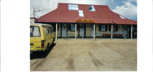
I drove another 30km and out of nowhere there appeared a couple of shops. Why didn't I get photos you ask? Well I had gone past them before I realised that they were actually open for business and not abandoned dwellings. I did get to see that it was called Mount Hope. I looked everywhere around the vast, desolate and undulating landscape but could not see the mountain. I took a photo of something that may be it. As this was my second day driving in drought stricken outback New South Wales in extreme heat I wondered if I was imagining things, but no, there it was on the map.
I thought Mount Hope was an omen so I prayed and wished that the country would soon receive rain so that the life of the landscape, wildlife, stock and its human inhabitants could begin to live again.
I continued down the Kidman Way passing through Hillston, a town renown for potato growing, onto Goolgowi and then turned onto the Mid Western Highway which went further into the west.
Around 2.30pm I arrived in the town of Hay and got a powered camp site. I had never experienced such heat in my life. All I did was lay around like a lizard studying road maps. with my fan going flat out.
After a very restless and sweat sodden night I left Hay. I was now on the Sturt Highway headed towards Mildura via the Hay Plains a distance of 300km. I had heard of the Hay Plains and how barren and flat they were so taking the current drought into account I didn't know if they were more barren than usual. I was driving through a 100km of wonder, something to be seen to be believed. Surprisingly there was life here, herds or flocks of emus running everywhere.
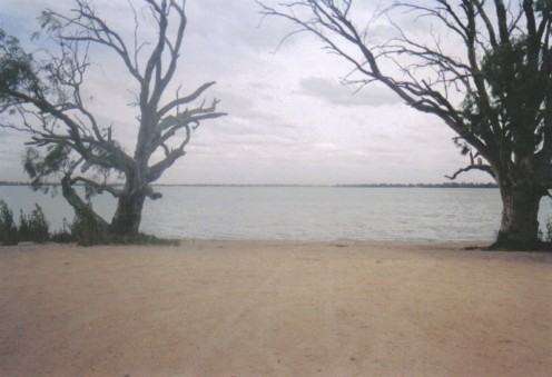
90kms east of Mildura a large lake unexpectedly appeared. Lake Benanee appeared to be quite full which I couldn't understand other than it was a salt lake, otherwise surely it would have been near empty having been used for irrigation. It was a pretty area surrounded by a sandy beach ideal for picnicing, camping, waterskiing, fishing, swimming and boating.
A couple of hours later I had set up camp at the Sun City Caravan Park in Mildura.
Wow! I was here after travelling 1450km over a landscape comprised of various shades of two colours - brown and blue.
Tomorrow I will get to find out about my new vineyard job packing grapes in a shady shed protected from the sun. I wonder if the shed will be air conditioned?
