Road Maps and How to Read Them
By Joan Whetzel
Road maps, like treasure maps, can open the door to a world full of adventures. They enlighten their readers on the roads and highways to the places they want to visit as well at key points in each destination. Besides pointing out a few gas stations, hotels, hospitals and airports, they also point out some of the major tourist attractions. GPS is great - to a point. GPS has been known to give bewildering or ambiguous directions. A map, on the other hand, will never steer you wrong once you know how to read it.
Map Grids
All maps, including road maps, have map grids. The grids contain vertical (north/south) and horizontal (east/west) lines that form a network of squares on the map face. The network of squares are labeled to help locate specific locations. Some road maps (e.g. key maps) label each square with a letter in each square starting with an "A" in the top left corner all the way to a ”Z" in the bottom right corner. (The O and I are omitted). Other road maps (e.g. American Highway Road Map) label column of squares with numbers along the top and bottom of the map, and label each row of squares with letters along the right and left side of the map. In this way, following a row and column to where they meet, you can locate specific locations listed in the Reference Indexes for each map. in a book or a single fold out map. The Reference Index lists the name of a specific destination and its location on the map grid.
The Map Key, or Legend
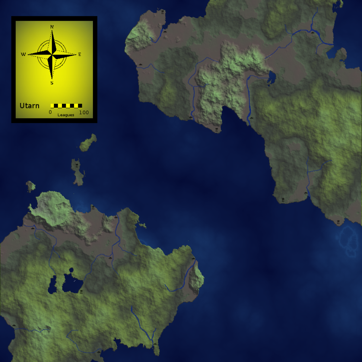
The road map legend lists symbols that appear on the map as well as what each symbol means. The legend also shows the cardinal directions (N, S, E, W). Fold out maps place the legend along the right side of the map. Map books, like road atlases and key maps have a legend page toward the front of the book. The legend shows the difference between 2 lane roads and major highways, between the different types of highway markers, and other types of road markers that could help drivers determine their routes. Other markings that the legend describes include: rivers, lakes, oceans, national parks, state parks, trails, mountains and their elevation, golf courses, ski areas, cities and towns, national or state capitols, time zone boundaries, dams, swamps and glaciers, to name a few. If you're using a book type road map, mark the legend page with a paper clip or post-it note so that you can find it readily when you need to reference it.
The Map Scale
The map scale for any road map defines the ratio between distance on the map and distance in real life. The map may have a ratio of 1 inch equals 1 mile, 10 miles, 50 miles, 100 miles, etc. Basically, the ration or scale relates to how far you have zoomed out, as you would zoom in or zoom out with a map site online. Once you know this ratio, you can figure out the distance from one location to another location on the map. The map scale will be shown along the top or bottom of the map for both fold out maps and book style maps.
Taking Your Adventure
Now that you understand the basics of reading a map, it's time to plan your adventure. Do you know your final destination? Great, now look at all the major and minor routes between your starting point and your final destination. Plot out the quickest routes, the scenic routes, and the routes that will take you on the most interesting side trips. Don't forget to locate the rest stops, they'll be important, especially if you're travelling with pets and kids. Rest stops provide restrooms (for people as well as pets), information centers, vending machines for drinks and snacks, picnic tables, and frequently, playgrounds. At the very least they have sidewalks and grassy areas where you can walk around, get a little exercise, stretch your legs.
When you go on your next road trip adventure, and you know where you're going and how you're going to get there. Don't forget to put down the map from time to time and enjoy the scenery. Sometimes the scenery offers signs to sites and side trips that aren't on the map - like the world's largest rubber band ball, an alligator rodeo, local natural caverns, and a few small local museums. Make them part of the adventure.
Bibliography
Sanders, Edward. How to Do Things. How to Read Road Maps. Downloaded 2/20/2012.
http://www.howtodothings.com/travel/how-to-read-road-maps
Compass Dude. How to Read a Map. Downloaded 2/20/2012.
http://www.compassdude.com/map-reading.shtml
Teach Kids How. Teach Your Kids How to Read a Map. Downloaded 2/20/2012.
http://www.teachkidshow.com/teach-your-child-how-to-read-a-map/
Map Symbol. Cartographic Symbol and Map Symbol Library. Downloaded 2/20/2012.
http://www.map-symbol.com/sym_lib.htm
Clallam County, Washington. Road Maps. Downloaded 2/20/2012.
http://www.clallam.net/Maps/html/road_maps.htm
Maps of the World. USA Road Map. Downloaded 2/20/2012.
http://www.mapsofworld.com/usa/usa-road-map.html
University of Washington Libraries. Map Collection and Cartographic Information Services. Downloaded 2/20/2012.
http://www.lib.washington.edu/maps/MapResources/road2.html

