Travel North - 33: Upper Wharfedale Walkabout - Wandering the Middle Dales
The green of the dale contrasts with the barren moortop - have your waterproofs ready, just in case - and wear good boots
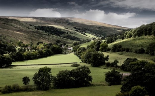
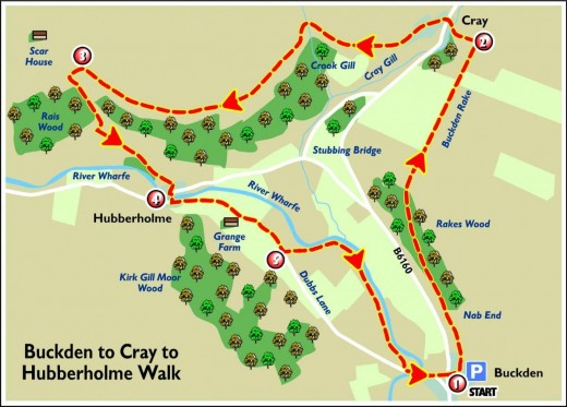
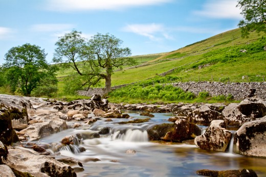
Another stroll through the past, green dales, towering hills and the infant River Wharfe meandering past on its way south to Kettlewell and beyond.
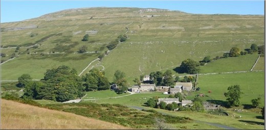
Pale stone farmhouses and outbuildings, village churches and ancient settlements, fresh air by the gallon and the promise of a pleasant day out. Take your time. You can make this walk last all day, or you can finish it in under four hours and pass on elsewhere.
Higher amongst the uplands are limestone pavements - this is within a half hour's drive north of the walk around Malham - and riverside walkways that wend with the dale. In Upper Wharfedale the river slices through limestone, broadly seen as one of the chief observation areas for spring and summer wildlife. Wonder also at the place names, redolent of the days when the Norsemen settled the area from the north-west.
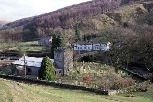
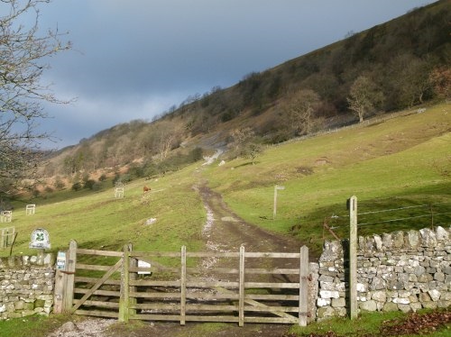
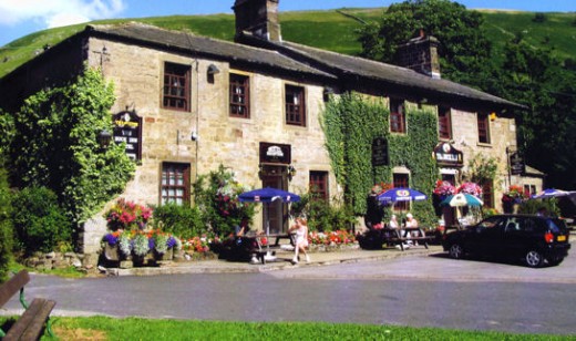
Begin your wanderings at the church gate in Hubberholme, where Wharfedale meets Langstrothdale. Cross the bridge and turn left at the George Inn and follow the road for a short while. As you make your way you can see the pink-spiked bistort, the fern-like leaves and white flowers of sweet cicely. After just over three hundred yards (275m) beyond Grange Farm turn left through a gate signposted 'Dales Way' and follow a fenced footpath along the riverbank. Watch for kingfishers hereabouts, with the leafy canopy over the river encouraging fish to congregate. You come back to the road close by a bridge that leads into Buckden, the local 'metropolis' and your one and a half mile stage. Follow the leftward-leading track that skirts the village, climb to a gate marked 'Buckden Pike' and take the track uphill through a pair of gates (above the level of the road). Past the second gate bear left at a fork to a gate with a signpost for Cray High Bridge. You might hear the trilling of the male curlew from the moorland above. You should be on your way along Rakes Wood here, above which is an ancient settlement on the moorside below Buckden Pike at around 2,400 feet (702m). Pass over a stile a hundred yards on (80-90m) and through a gate in the wall waymarked 'Cray'. Drop down to stepping stones across Cray Gill.
At three miles take a breather, look upward and around before crossing the road. There are many small watercourses coming down from Muckden Pike on your right and Langstrothdale Chase to your left, tumbling down over waterfalls. These are tributaries of Cray Gill and the Wharfe below, adding their force after rainfall to hurry on south before turning eastward to the Ouse, the Humber and the North Sea before. If ever you needed a lesson on the rainfall water-cycle, this is where to come!
Unless you're going into the pub here, pass to its right, following on the the right at a sign. Take the more obvious path across fields with the wall and fence on your left, winding around the head of the dale to cross a footbridge. Limestone pavements shelter botanical rarities in the crevices. Near Scar House you will find hart's tongue ferns, limestone bedstraw and birdsfoot trefoil that proudly displays its yellow flowers. Pass over another trio of stiles and a gated footbridge. Keep going and look out for a footpath sign that points down through Strans Wood. The rock-strewn path drops and then runs more level before joining a track. Take a left turn, drop down into Yockenthwaite, along your left and then right between buildings to a signpost.
Around Yockenthwaite the Dales Way passes through colourful meadows alive with activity. Several types of orchid flourish here, flowering during June and July. Glow worms can be seen by the river on a warm summer evening and otters have moved into the dale, their footprints evident in the mud under various bridges.
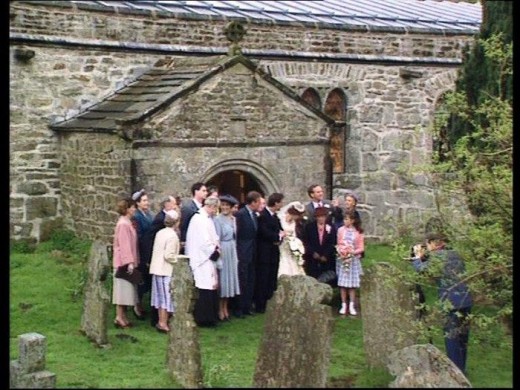
At the six-and-a-half mile point turn left where the way is signposted for Hubberholme and stride on to a gate with a signpost. Beyond that is another gate after which you turn left, pass through a wall-stile where you walk alongside the river through a succession of gates. After a quarter mile the path is signposted to a fenced section between the edge of the field and the Wharfe. You come back to fields after a short walk, which from May onward are dotted with colour from meadow blossoms such as pignut and meadow vetching. The path follows through more stiles and a footbridge, then follows along a restored section of footpath above the river. Hubberholme beckons through the trees with its church. Take a right turn at the end of the church and come to a halt where you started. Hope you enjoyed this roundabout walk!
You will encounter riverside paths, tracks and woodland ways. You could also begin in the National Carpark pay and display site in Buckden. Some parts are pushchair accessible but it is mostly unsuitable. The route is not suitable at all for wheelchairs.
By car Hubberholme is on the B6160 up Langstrothdale. At Buckden turn left over the bridge and Hubberholme is about a mile or so onward. (The B6160 passes north from Buckden through Cray to join the A6108 east of Aysgarth between Hawes and Leyburn). Besides the NCP car park at Buckden there is also roadside parking near the church, by the river.
Travelling by bus the Pride of the Dales route 72R runs from Skipton Station (not Sundays). On Sundays and Bank Holiday Mondays between May and September take the Dalesbus 874 from Ilkley Station.
Both stations are linked from Leeds by Northern Rail.
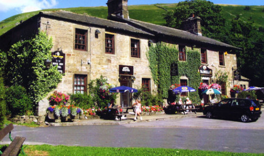
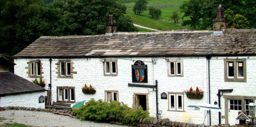
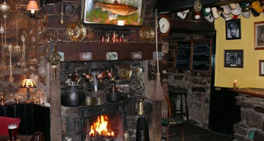
Refreshments and accommodation (you might want to linger a while, after all): there are public houses at Buckden, Cray and Hubberholme,
1) The Buck Inn, Buckden nr Skipton, BD23 5JA, ph 01756 760228,
2) The White Lion, Cray nr Skipton, 01756 760262
3) The George Inn, Hubberholme nr Skipton, BD23 5JE, 01756 760223 (propr. Barry Roberts)
Maps: Ordnance Survey Explorer OL30, Grid ref SD 927 782
Information:
Yorkshire Dales National Park, www.yorkshiredales.org.uk
Yorkshire Wildlife Trust, www.ywt.org.uk
National Trust, www.nationaltrust.org.uk
Weather, www.weatheronline.co.uk
Tourist information, www.northyorks.gov.uk
Travel, www.yorkshiretravel.net/
Wander through Upper Wharfedale
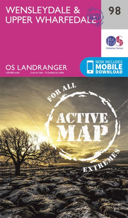
Ordnance Survey Maps
Very important if you mean to do some serious walking. Ordnance Survey Maps are updated and revised regularly. They feature every footpath registered as well as public telephones, should things get sticky. Originally commissioned for the military, they're used by rescue services as well as walkers - they also keep you from straying onto private or Ministry of Defence (MoD) property. You wouldn't want to come up against the Military Police unless you could convince them you'd genuinely got lost!
Langstrothdale and Cray
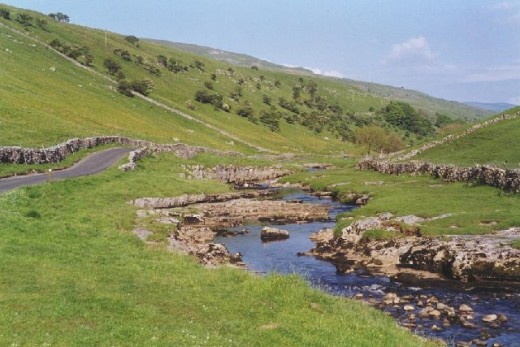
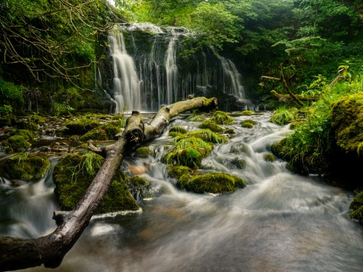
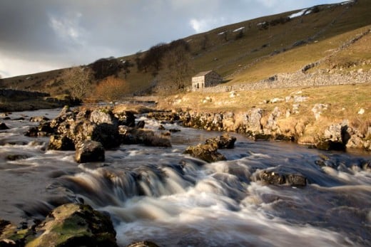
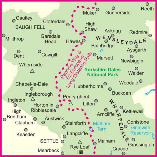
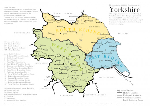
Where are we? Don't panic, you're not lost... yet
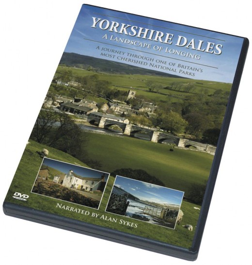
You can never have too many guides. This one will show you the best places to go, where to stay, what to see. Full colour images, directions etc. Worth the outlay even if you never get there - you can still dream. Soak in the atmosphere of the higher Dales with the views in this book, let your eyes wander... and wonder. This is no pretty scenery. It's mostly rugged, grey stone farms, barns, inns and cottages or houses surrounded by vast acres of grazing land or moortop. Sheep outnumber people several times over in these parts. Cattle graze the more lush pasture and people collect in villages dotted with inns, small stores and post offices that sell everything but the kitchen sink.
© 2012 Alan R Lancaster

