- HubPages»
- Travel and Places»
- Travel Activities & Ideas»
- Outdoor & Adventure Activities on Vacation
Things to See When Hiking Zion National Park, Utah
Zion National Park, Utah
May 2014
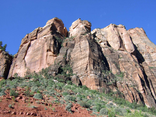
I took a tour in May, 2014, in Zion National Park, Utah. With temperatures around 100 degrees Fahrenheit at around 10:30 A.M., hikers were advised to wear hats, sunscreen, and drink plenty of water. We started our hiking tour around 9 A.M., before the sun rose above the mountain tops. What started off as a paved path turned into a dirt trail the higher up from the valley we walked. The trail skirted the base of the mountains, under a waterfall, up on top of a plateau, and down back to the valley floor.
The park had many visitors, but there was plenty of open space for all and we were the largest group of hikers, 38, to walk the trail as most of the hikers we encountered were solo or traveled in groups no more than five.
The Zion River Valley
The River
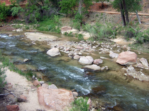
A River Runs Through It
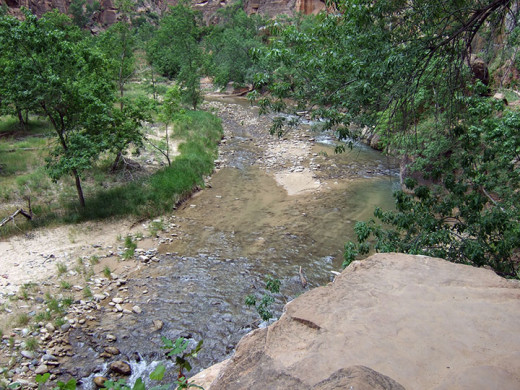
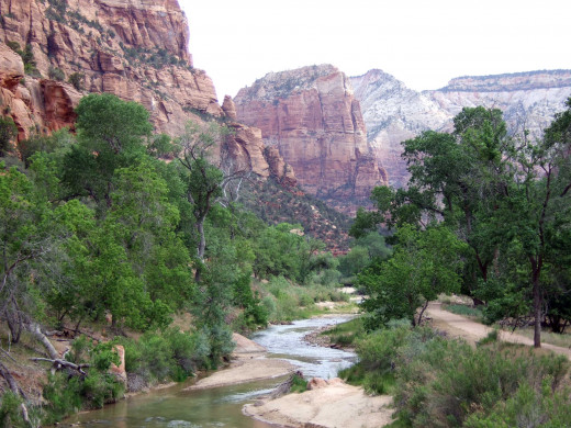
A mature curving river runs through the Zion National Park Valley. Due to the drought in the Southwest, the river is only ankle deep in most spots but could reach waist high in certain areas. During the rainy season, flash floods do occur and hikers are advised not to wade through the stormy raging river. A trail does run through the river and adventurous tourists and hikers could literally walk up the river, far from the paved trails. We saw a trio of clothed hikers return to the valley, soaking from their hike through the river. We did see some hikers wade in the river which rose to ankle-deep at the spot they walked while other hikers just followed the dirt path adjacent to the river.
According to our fit and experienced tour guide, Zion National Park has a multitude of hiking trails, some going to the very top of the tall mountains, some skirting midway along the cliffs, and some very isolated and narrow. Our tour guide said that there are narrow dirt hiking trails that skirt the cliffs with sheer drops of 500 to 1,000 feet on either side and could take hours to all day to walk. Some are so precariously high, steep, remote, and dangerous that he wouldn’t hike them anymore at his age because if he gets in trouble, it will take a rescue team many hours just to reach that remote spot on the trail to rescue him. He went on to say that some trails high up have angles so steep there’s nothing to hold onto except the large boulders and cliff itself. Our tour guide cautioned that cell phone reception in the park remains spotty in areas so hikers should be aware of that in case they decide to go hiking on their own.
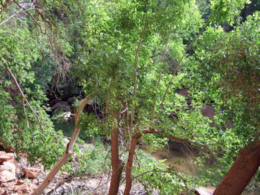
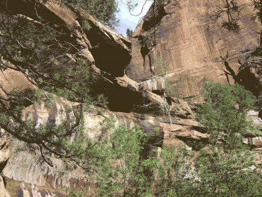
The Horseshoe-shaped Cliffs
What’s There to See?
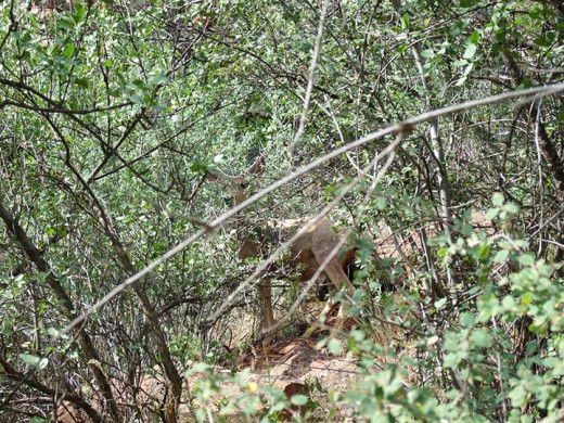
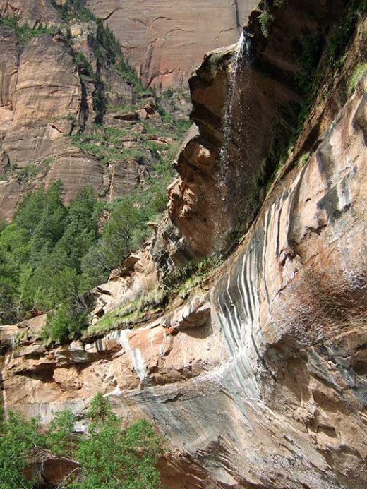
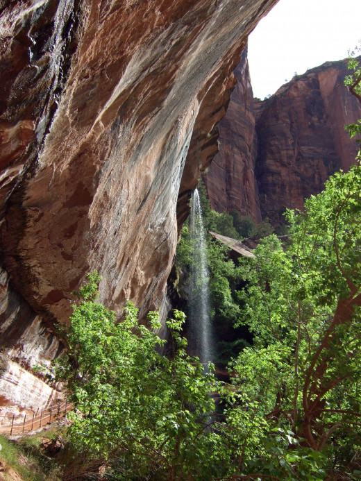
As we walked along the well-traveled hiking trail that started from the valley floor and ascended up to the base of a mountain range, we crossed a wooden bridge over the river. Our tour guide narrated the sights through our earpiece, a wireless radio system he bought to keep all 38 of us listening to his commands individually without him having to stop and shout to the group every so often. The path turned to a dirt trail that ascended into the forest with a lush green canopy of trees, even in this drought. We saw a mule deer between trees and it glanced at us and went back to its grazing, unafraid of visitors so close. The trail continued towards the horseshoe-shaped cliff, stained by the erosion of running water and calcium carbonate, which gives Utah Spring Water its natural somewhat chalky taste.
A Waterfall, A Waterfall (Usually)
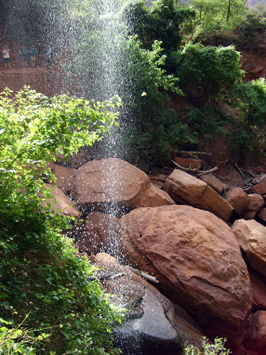
Due to the severe drought, the waterfall flowed as a mere trickle this year because of the lack of snowmelt—most of the snow has already melted in the higher elevations. However, in rainy seasons with ample rainfall, the entire horseshoe would have water cascading down, an impressive sight considering that the trail goes right behind the waterfall. However, if the waterfall gets too wide and powerful, the National Park Service’s Park Rangers will close the trail underneath the waterfall to hikers as the rocks would be too slippery and dangerous to traverse.
We descended and walked under the waterfall, a metal bar guardrail on our right to prevent us from falling into the rocks and river below. The dribbling drought-starved waterfall rained upon a patch of rocks on the trail about ten feet across and hardly looked like a steady downpour. I crossed and just had a few drops fall on me. After crossing under the waterfall, it’s an uphill climb to the other side of the horseshoe-shaped cliff. A natural rock ledge inset in the cliff allows the weary to sit, rest, and admire the waterfall from the other side.
Rocks and Dirt and Cactus
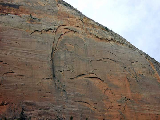
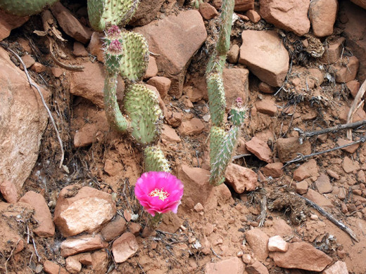
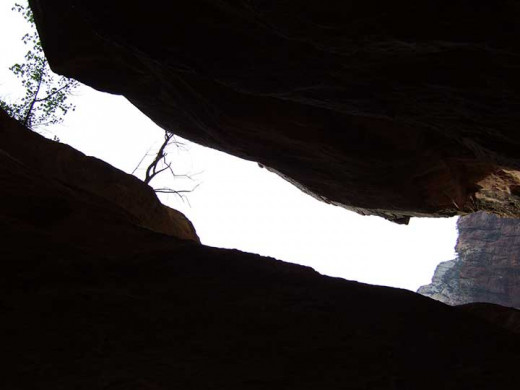
The other side of the horseshoe-shaped cliff has a trail that differs from the opposite side. Here, the trail ascends onto a plateau a quarter up the mountains. There are fewer lush foliage trees (the trees being mostly pine and bristlecone) and this side has cactus. Instead of a trail on rocks, this trail is mostly dusty dirt, uneven, and riddled with rocks. Hikers really need to pay attention to where they walk and place each foot because the trail is rough. Nonetheless, we had an 86-year old hiker and two couples in their 80s who completed all the hikes on our tour, a testament to their fitness. With walking sticks in hand, we climbed up onto the plateau and saw a cliff face titled “The Smiling Woman” with her crooked smile.
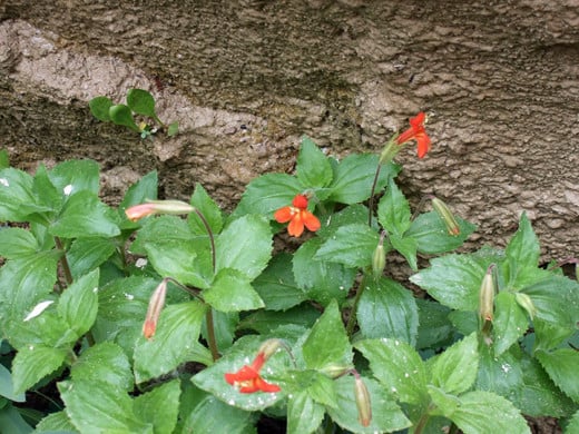
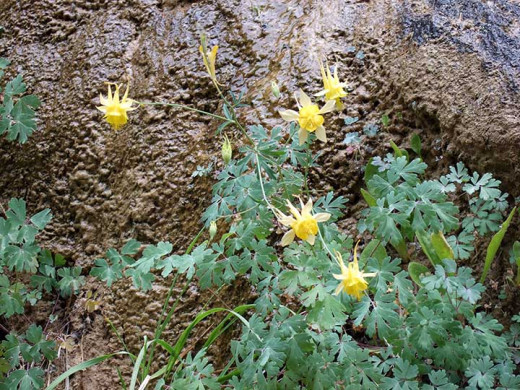
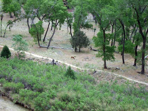
From here on, the trail rose and fell with the contours of the rocks. There were some natural steps here and there, but mostly the trail crossed uneven ground. In the distance on the valley floor, we saw a mule deer grazing by the river. The trail also went through some naturally-carved tunnels, small and wide enough for a hiker to pass. We met a Park Ranger with backpack on patrol and he reported that the trails were open, meaning that there wasn’t enough snowfall to block any of the higher elevation paths. Pressing on with the clock at 10:40 A.M. and the weather getting hotter, we passed by other hikers going the opposite direction, mostly senior citizens in T-shirts and shorts, a few European hikers, two young male Japanese hikers, and some parents and their teenagers. The trail got to its highest point and I could see the valley floor and meandering river below and the strata mountain ranges all around, a beautiful still breezeless sight. Cactus, flowers, and bristlecone pines lined the trail and we made sure we were aware of our surroundings as there was a sheer cliff drop on our right, and low prickly cactus on our left.
And the End…
The trail descends towards the valley at a manageable slope and soon curves around to steps carved into the rock. We descended down the steps and crossed another wooden bridge over the river below to the valley floor. The 1.5 mile trail hike seemed longer due to the elevation, rocky ground, curves, rise and falls, and breathtaking views. A paved path led to Zion Park Lodge on the valley floor as we completed the trail hike that took us over a river, through a forest, under a waterfall, on top of a plateau, down and across the river again, and back to the valley floor to see the wonders of majestic Zion National Park and its grand mountains.
