Travel North - 61: Yorkshire's Three Peaks Hike
From High Birkwith Farm, north of Horton-in-Ribblesdale
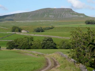
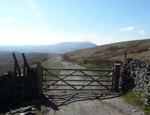
At various times when you walk this route you'll see all three peaks from one spot when you turn on your heels.
Whernside and Ingleborough will show up well on a good day, although it may not be possible to climb them if you're on this hike... And that's what it is, all fourteen miles of it. It's not too late to just sit on the car park wall outside the Pen-y-Ghent Cafe and admire the grandstand view across the road, uphill to the peak itself (2,277 feet/694 m).
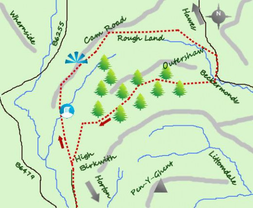
Begin the hike at High Birkwith Farm, north from Horton-in-Ribblesdale on a narrow road between the two bridges by the Crown Inn. The road only goes as far as the farm and roadside parking is limited. The farmer won't thank you for blocking his access, so best find space at the public car park back down the road near the cafe. There's usually lots of room and there are public conveniences that face the road.
You start the walk proper not far from the farm, pass a pair of the best beginner's caves - you might come this way again in the pursuit of adventure - Birkwith and Old Ing. They're known as 'stream caves, easy to explore on another day out. They form a section of a greater cave network only qualified cave divers can access.
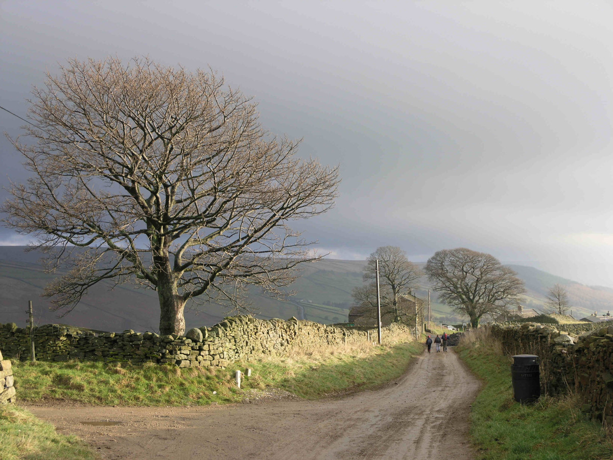
After the farm follow the bridle path north-eastward, then north through sheep country. The Three Peaks Way from Pen-y-Ghent to Ribblehead crosses at this point. Ignore it and stay on your course past the appealingly scenic packhorse bridge over Ling Gill ('ling' is a type of heather, a 'gill' is a hillside or mountainside spring) where you meet the noted north-south Pennine Way that you will note is in good condition.
Ingleborough, above Ingleton (the first is the mountain, the second is the village close by)
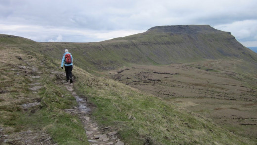
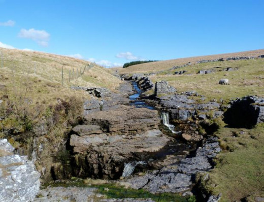
The views open up here where you take in Ingleborough and Whernside...
You follow a steady climb, probably best viewed when the track meets the Cam High Road.
This way originated in Roman times and was used by their legions north to Hadrian's Wall - and for a short time also the Antonine Wall - It is used and maintained by the Forestry Commission and is as such in good condition.
Turn right at this road and climb steadily onward for a further mile. After around a third of a mile (500 m) take the path right that cuts through one corner of a forestry plantation. Two stiles will bring you to Cam Houses, worth a closer look - and enjoy a picnic while you're there.
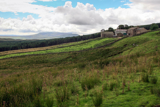
The following mile is 'tussocky', over clumps of grass and earth - not easy walking and not good after heavy rain - towards Swarthgill Farm, and a bit boggy in damp conditions. At Swarthgill Farm and nearby Nethergill Farm you are at the heart of the Yorkshire Dales. They are both remote, although the farmers have made great strides towards diversification, offering overnight accommodation to those who follow the Dales Way.
Nethergill is impressive as conservation landscapes go, and is a tourist attraction as much for bird watchers as for those who wish to take in the scenery... Pure and símple. From Oughtershaw a footpath leads southward between farm buildings and follow a steep course to a stíle before entering a forest.
On to Oughtershaw
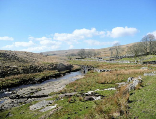
From this point the nature of the walk changes, with the forest obscuring the views, weather and sounds of the earlier seven miles or so.
Over a mile the footpath winds through the forest westward onto another dead-end road. Follow the road another mile to High Green, where the metalled road gives way to a farm track - in good condition all the same.
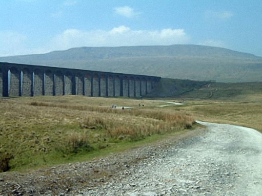
Another mile of forestry track takes you to where the track divides. Follow the westerly fork and take in the view of Pen-y-Ghent to the south, with the other two peaks away to the north-west. If you're keen on trains you might see a steam special on its way over Ribblehead Viaduct in the distance, with Whernside visible in the north at 2,415 feet (723 m) and Ingleborough at 2,372 feet (723 m) to the west of the line near the southern end of the viaduct.behind the village of Ingleton.
The path drops between a couple of low hills or mounds to New Ings and joins the out-bound track back to High Birkwith Farm (a 'birk' being a birch tree).
-----------------------------------------------------
Jonathan Smith's Where2Walk is a walker's guide site. His own book titled 'Dales 30' describes the highest Dales mountains and peaks. He runs one-day navigation courses for beginners and intermediates, where skills are taught or refined in climbing or hill walking:
Where2Walk - hikers' and climbers' guides to the Yorkshire Dales
- Home Page | Where2Walk Where2Walk
Where2walk presents the best walks in the Yorkshire Dales, the Lake District, the North York Moors and the best places to stay to fully appreciate them. Read more… Yorkshire Dales: Walks Map Walks List Lake District: Walks Map Walks List North York M
Maps to buy, ways to go...
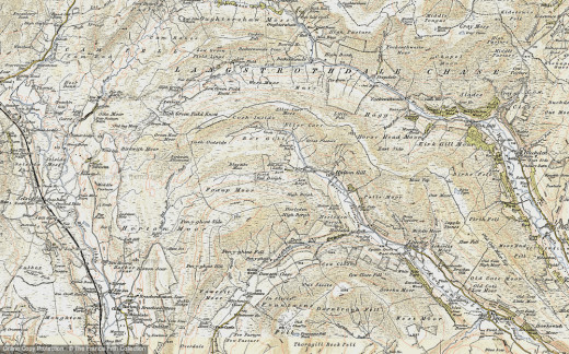

Distance covered: approximately 14 miles (about 22.5 km)
Height (above sea level) achieved 1,030 feet (310 m), start point (Ordnance Survey referen ce) SD 800767 by High Birkwith Farm, north from Horton-in-Ribblesdale.
Going is not too hard and the walk takes much of a day, best in summer or early autumn. The terrain is not the challenge as much as the distance. Refreshments are available at either of Horton's two pubs and at the Pen-y-Ghent Cafe.
Be prepared for sudden changes in the weather, wear good watertight boots and woollen socks - not trainers, they'd be sodden before you reached the halfway point! - and don't wear jeans or T-shirts for the same reason. Denim soaks up the damp and makes walking decidedly uncomfortable.
Take - and be able to read - an Ordnance Survey map - most are available at the Pen-y-Ghent Cafe. Take a good compass in case the cloud cover 'drops' and reduces visibility. Take a flask of whatever hot beverage you prefer, food and chocolate to sustain energy. The.cafe offers Kendal Mint Cake, very good for energy boosts and comes in various flavours.
If you're driving, take suitable footwear to replace your walking boots for your return home, or to your hotel (they won't take to your muddy boot marks all over their carpets). Take your litter home with you or use the car park bins, don't throw it away, where wildlife or farm stock may suffer.
© 2020 Alan R Lancaster


