Travel North - 64: Grassington Walkabout
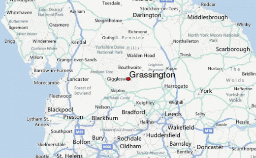
Grassington, a small town on the western side of Wharfedale is as good as any to start from
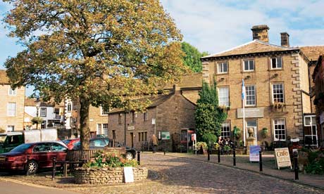
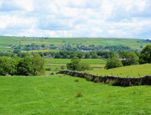
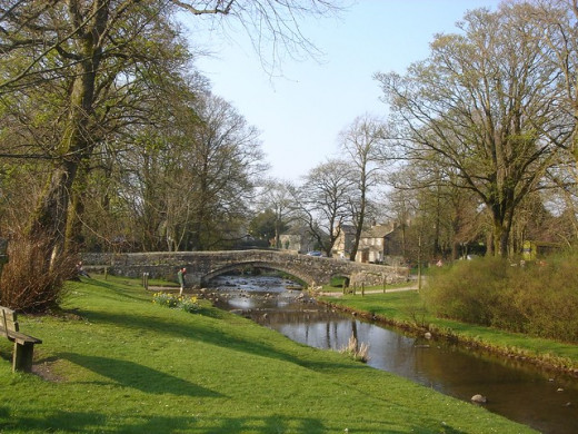
We're in Wharfedale again for another enjoyable walk... First stop Linton
Maybe a family day out in late spring to early autumn. This time we start at Grassington on the west side of the dale, on the edge of the Craven district.
There is a fair choice of walks in the area. Let me show you one that holds some interest for young and old. There are also contrasts on this route that take you from the bustling Grassington to sleepy Thorpe, and they each show different aspects of the Dales.
If you've driven to Grassington our starting point is on the south side of the National Car Park site, from where you take a path downhill to the River Wharfe. The two-step limestone waterfall is the highest on this stretch of the river, although strictly speaking the elevation here isn't all that great. Yet when you stand on the bridge - fourth on this site in recorded history since bridges were first erected - after a downpour you could be forgiven for your feeling of foreboding.
Take a right turn after the bridge, between the houses, to a minor road that leads uphill. Cross another road and head into the first village on this walk. Linton is set around a green with the Fountain Inn - popular in summer. It is an attractive place the year round. Take a close look at the Palladian-styled almshouses that date back to 1721, a haven in times of need for the poor of the district.
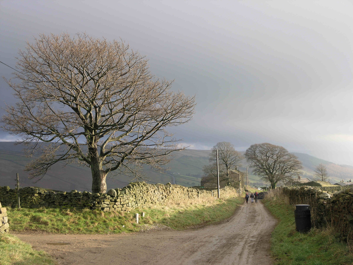
Stay on the east side of the beck - the northern, not just Yorkshire term for a stream - to take a footpath between the houses and uphill to open fields. This path ascends south-eastward for just over a half-mile, passes a pair of copses (small tree plantations) and takes you to a stile that comes before the walled Thorpe Lane. Turn left along the lane for another half-mile and you're in quiet Thorpe, another attractive village decked out in the classic Yorkshire limestone. You'll see an old sign.for the erstwhile 'Shoulder of Mutton' public house.
There's a quiet road here that takes you east out of the village for a few hundred yards (200 m). Follow a footpath on your right.
Linton and Burnsall
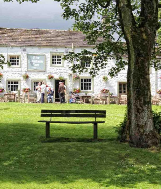
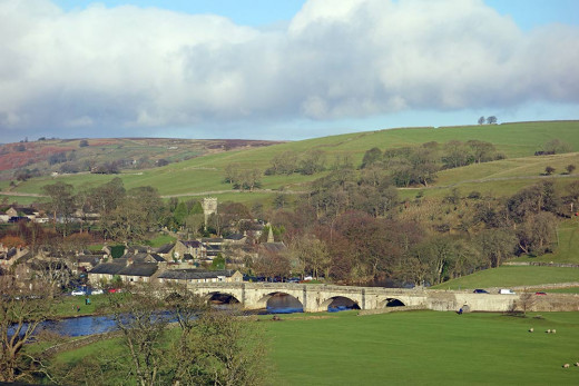
The footpath winds through sheep pasture...
...with great views over Wharfedale to the moors further north and east. A beck and a farm track cross your path, as well as a number of stiles along the way.
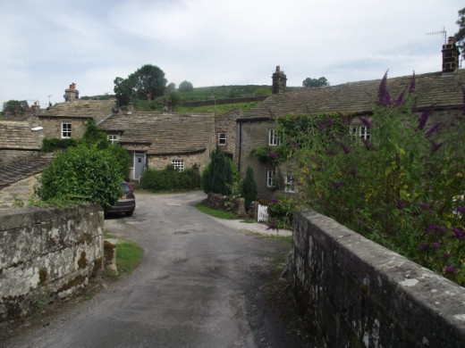
The third village is Burnsall, a postcard type scene. Overlooking the Wharfe, the village sports an interesting church, a first-rate Grade 1 listed primary school that was once a grammar school... Oh, and a good pub. In all a dawdle along the riverbank is in order. Take a picnic maybe.
On the way back to Grassington the path follows the river, starting under the road bridge on the south bank. Take the winding path for a mile to a suspension footbridge where you cross to the north bank. Follow the river course to Grassington a couple of miles further. On your way is another picturesque village, Hebden (not to be confused with Hebden Bridge west of Halifax), a few hundred yards northward along a quiet road - most are quiet around here, at most times.
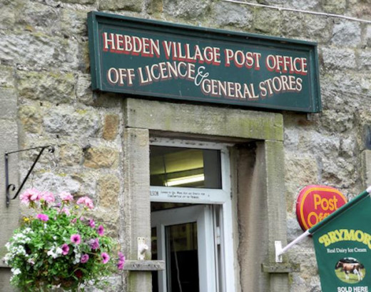
There has been a settlement here since the Bronze Age, signs of a dig still visible. However the most obvious landmark is the yellow phone box that marks the rowing gold won by local lad Andrew Tiggs Hodge in the 2012 London Olympics. The village hall here is of a more traditional style, as is the building that houses the post office. And yet that's where the 'traditional' stops. The Post Office also houses an off-licence (the UK version of the US' drug store) and a general store (see picture below)..
.
Back to the riverbank, going west along the north bank follow a sharp bend in the river that leads back into the 'metropolis' of Grassington..
Hebden, with a few surprises...
The walk is around 8 miles, give or take a hundred yards or so...
... and starts at Grid Reference SE 003637.in the large National Car Park.
Going is fairly easy-to-medium with good paths and farm tracks. A short climb out of Linton is the only real challenge.
Cafes and pubs crop up at almost every turn except at Thorpe, a 'dry' village. The hard part on this walk is to resist temptation and finish the walk early... But you still have to get back to Grassington.. Ah well, plod on.
Take a good Ordnance Survey map (Explorer No. 2) and if mist drops around you you'll need a good compass. Wear good water- and mud-proof boots, thick socks in the early or later season. Weatherproof clothing is also a must, not jeans or trainers. You do't want to be laid up afterwards, with a thermometer under your tongue.
Follow the Country Code, take any litter back with you or dispose of it in litter bins; close any gates, especially with livestock around.
Why not visit Jonathan Smith's Where2walk site for tips on walking, hill walking, orienteering and map reading. If anything happens to one of your party - or you - you'll need to give a map reference for the rescue teams.
where2walk.co.uk
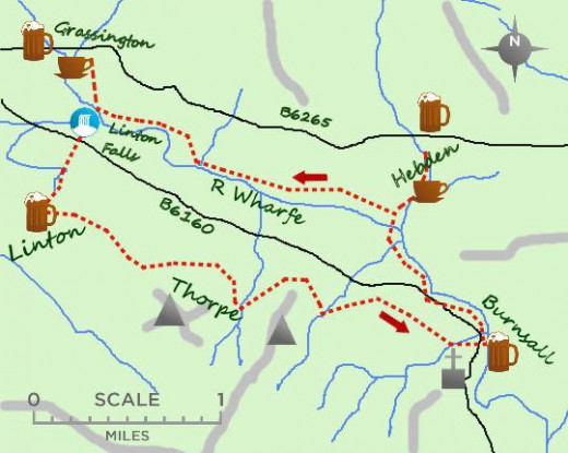
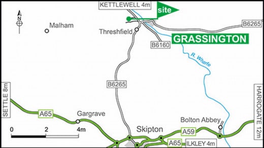
Getting around - sketch map and more
© 2020 Alan R Lancaster

