- HubPages»
- Travel and Places»
- Visiting North America»
- United States
Zion National Park - The Narrows
Zion National Park
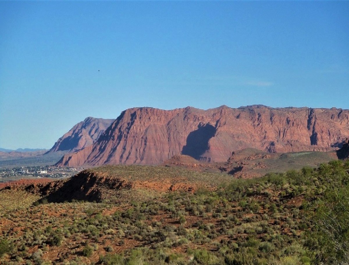
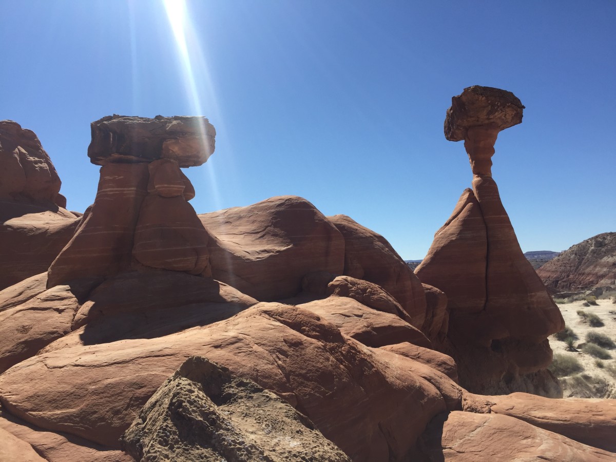
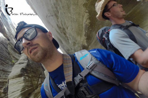
Zion National Park is located in the Southwestern United States near Springdale Utah. This majestic park boasts a huge 593km² Canyon, which is 24km long and up to 800m deep, cut through the reddish and tamed coloured Navajo Sandstone. I have long waited to hike these grounds and recently had the opportunity to do so with my best friend. Zion is like something out of Jurassic park, literally, you can see fossilized dinosaur tracks on some of the hikes making it a Geologist’s fantasy and an adventurist’s playground. As you wind through the narrow slot canyons carved out by the Virgin river every turn is more interesting than the last and eventually you lose yourself in its awe. There are many different ways to see the Narrows but in my eyes there is only one that does it justice – the two day, top down hike.
Getting to Zion National Park
Most people who visit Zion National Park chose to fly into Las Vegas then rent a car from there which is what my friend and I did. From Las Vegas its about a 165 miles to the park entrance and remember to bring a lot of water cause it's a hot drive. Also if you are renting a car make sure not to get a black one, its like driving an oven on wheels. Below are the road directions from Las Vegas.
- Interstate 15 North
- Exit 16 - Right on State Route 9 East (33 miles)
- Right to stay on State Route 9 East in La Verkin, Utah (20 miles)
- Stay on State Route 9 East into Zion National Park, the Zion Canyon Visitor Center is ahead on the right.
Another common way to get to Zion National Park is to fly into Salt Lake City and drive from there. I will also add the road directions from here.
- Interstate 15 South
- Exit 27 - Left on State Route 17 South (26 miles)
- Left on State Route 9 East in La Verkin, Utah (20 miles)
- Stay on State Route 9 East into Zion National Park, the Zion Canyon Visitor Center is ahead on the right.
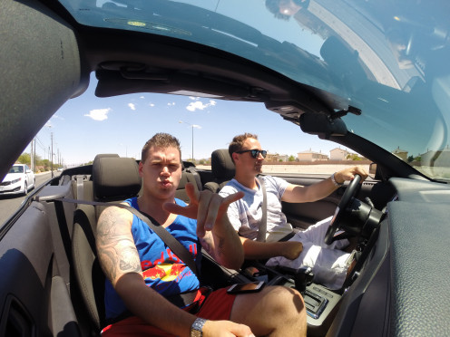
We chose to fly into Vegas first so we could spend a couple days there seeing the attractions. It was quite the contrast going from one of the most wasteful, elaborate spectacles in the world to deep into a backcountry canyon. By doing this I really feel that it helped me to deeply appreciate my surroundings and become more grateful for the natural beauty mother nature provides. I was able to knock off a few things from my bucket list on this trip and one of them was driving a convertible through the desert. We ended up renting a 2014 Ford Mustang from FireFly and were surprised with how affordable it actually was.
Rental Cars
For $350 for 11 days, we rented a 2014 For Mustang convertible. Compared to Canadian rental car prices, this was an amazing deal! A shuttle took us from the airport in Vegas to a large offsite car rental building were you can choose from several different companies. It took some schmoozing but we were able to get a great deal, the only catch being that the car was black. At the time I was happy to have black as it is my preferred colour of car but let me warn you now, driving a black car through Arizona and Utah is just about the worst idea one could have. Clearly we got the deal because no one wanted to rent a black car. Each time we entered the car after being parked for a period of time, we had to be extremely cautious not to touch any inch of the vehicle or risk third degree burns. Other than the oven factor, everything else was perfect.
Camping at Zion National Park
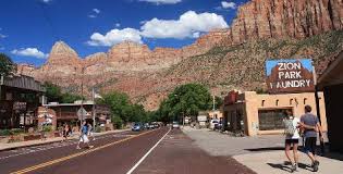
The town of Springdale will be your last taste of civilization before heading into the backcountry. This tiny little tourist community has everything one would need to explore Zion National Park, at a price of course. I recommend bringing all the gear you need instead of buying it here for everything is quite a bit more expensive than anywhere else. The town really caters to those who are inexperienced and looking to go on an adventure. So if you prefer to just dish out the cash to buy what you need last minute or just rent everything, Springdale has you covered. In the food department there were a lot of restaurants in the area, the majority of them being Mexican themed. We didn’t really dive into the restaurant culture as we were trying to keep the trip as back country as possible however we did stop at the local grocery store to grab some fresh fruit to take with us. As soon as we entered the park we drove right to the visitor centre to apply for our permits. To my surprise it was extremely difficult to obtain certain permits, especially for the more popular hikes. I advise anyone who intends on doing this trip to not follow my footsteps in planning for it on a whim.
Costs
- Park Pass - $25
- Wilderness permit - $10
- Camp Site - $15
- Shuttle - $35
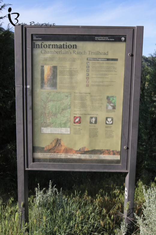
You can actually reserve permits online well in advance by using the governments park web site however I did not do this. I was told that most travellers will purchase their permits up to 6 months in advance for some routes. It was by a stroke of luck that there was one spot open for two to hike the Narrows from the top down the very next day, so we took it right then and there. You will have to pay for your permit as well as your back country camping fee. We were not as lucky with the Subway hike as there was only one spot open for one person and we were a party of two. We didn’t let that get us down since we were told there was a “lottery” option where you can pay $5 to be entered into a draw for a few designated passes. We bought two tickets for the draw and lost; why I thought I would all of a sudden win a lottery is beyond me but at least we tried. Now for those of you booking online, you must remember that you also have to book a third party company to shuttle you to “Chamberlains Ranch” which is at the top of the trail head. Unfortunately there are no free park shuttles to this location and it is about a 1.5hr trip. The other option is to hitch hike up to Chamberlains Ranch and camp there for the night. There is enough traffic on that road that hitching would be easy and I believe that it is $20 a night to camp there. We had no problems getting into a shuttle van last minute and I believe we paid $35 each for the ticket. Finally, once all was said and done we drove around the corner to the Watchman Campgrounds and once again were extremely lucky to get the very last overflow camp spot for $15 a night. This park is very popular in the summer months and will fill up almost any given night. Zion National Park actually has three campgrounds: “South” and “Watchman” which are in Zion Canyon as well as the “Lava Point” campground which is about an hour drive from Zion Canyon on the Kolob Terrace Road.
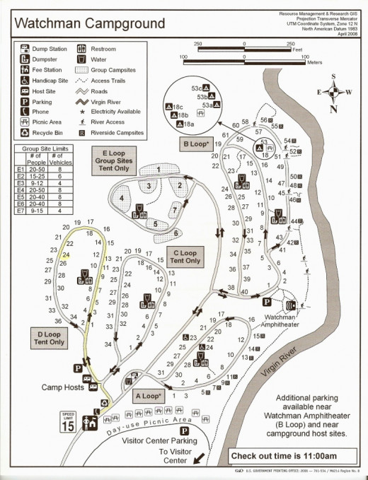
The campgrounds were well kept and surrounded by beautiful mountain ranges. If you are planning on spending most of your days out hiking, I would recommend camping in the shared sites since it allows you to meet other outdoor enthusiasts and share stories and tips from around the park. Just make sure you find a spot with ample shade. It was here that we met a park ranger from Glen Canyon who was just visiting on his day off. He gave us some great advice and helped us to make our trip even better by suggesting we make a stop at Lone Rock.
Narrows Day#1
The Narrows - Top Down
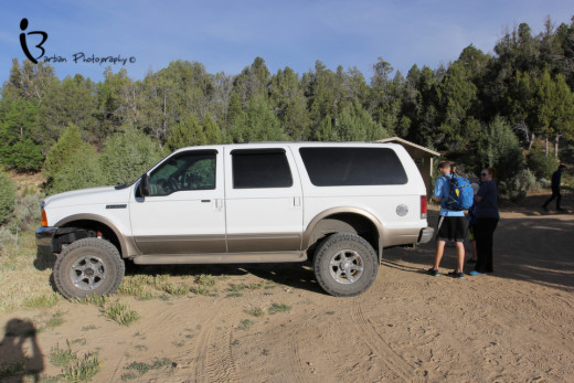
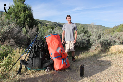
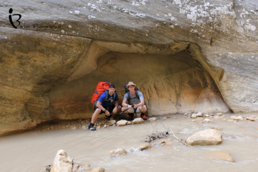
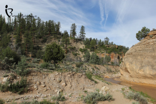
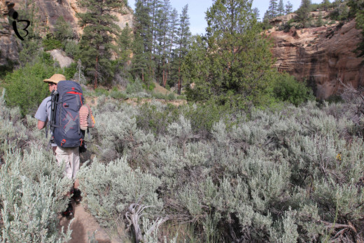
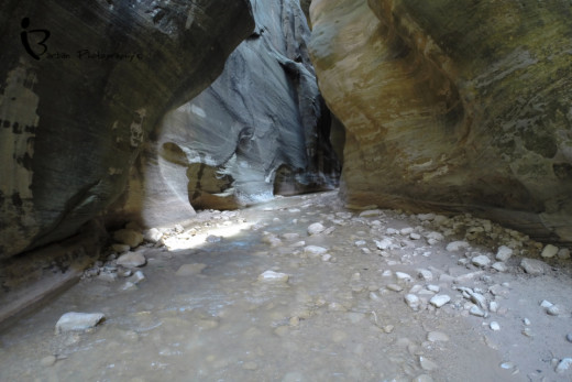
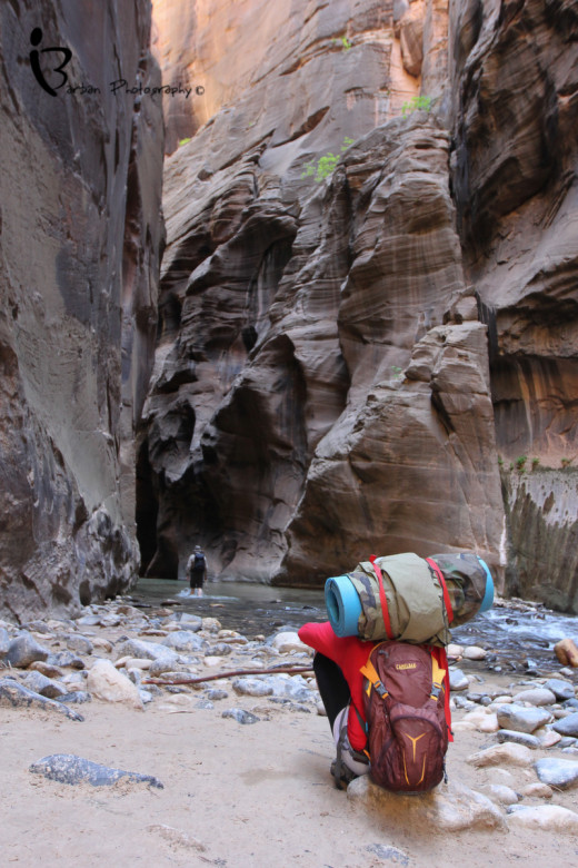
The Narrows is perhaps the most famous hike in Zion National Park and revered as the best slot canyon hike in the world. Due to its popularity, only 40 permits are available per day to hike from the top down and out of the 12 camp sites, 6 of them are available for reservation up to 3 months in advance. We had chosen to do the 16 mile hike over two days. Some attempt to do it in one which generally takes up to 12 hours and still requires a back country permit. The drive to the trail head at Chamberlain Ranch was a windy, uphill climb. Around each bend, brilliant rock formations jutted from the earth and as the dawning suns rays touch them, fiery red earth tones filled the backdrop. I was actually surprised to see so much foliage as most of the trip was through green pastures and forests. Other then the overzealous shuttle driver, for the most part, a silence amongst the passengers made the drive seem even more intense. I could tell that everyone was anxiously awaiting what lay ahead for the pinnacle of their trip was about to show its face. Once the shuttle drops you off its easy to tell who is attempting to do the hike in one day, for they don’t waste a second getting on the trail. Richard and I took our time making sure we had everything in order and after a quick washroom break we were off. The beginning of the hike is relatively flat following an old farmers road with beautiful rolling hills to your right. Free range cows can be seen meandering along the side of the road adding to the feel of hiking through Chamberlains Ranch.


Gear to Bring
MEC SLOGG 70 DRY PACK
| GSI PINNACLE DUALIST COOKSET
|
|---|---|
BIG AGNES SEEDHOUSE 1 SL TENT
| OPTIMUS VEGA STOVE
|
THERM‑A‑REST PROLITE SLEEPING PAD
| BLACK DIAMOND REVOLT HEADLAMP
|
MEC PERSEUS SLEEPING BAG 0C
| Merrell Men’s Mykos Stretch Water Shoes
|
OUTDOOR RESEARCH AIRPURGE COMPRESSION SACK
| Scubamax 6oz Premium Lycra Fin Dive Socks
|
BLACK DIAMOND XENOS HARNESS (UNISEX)
| MSR HYPERFLOW MICROFILTER
|
MSR ALPINE BOTTLE
| MSR ISOPRO 227 FUEL CANISTER
|
Sterling Canyon C-IV Rope – 9mm
| VICTORINOX TREKKER‑ ONE HANDED
|
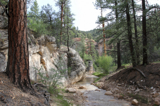
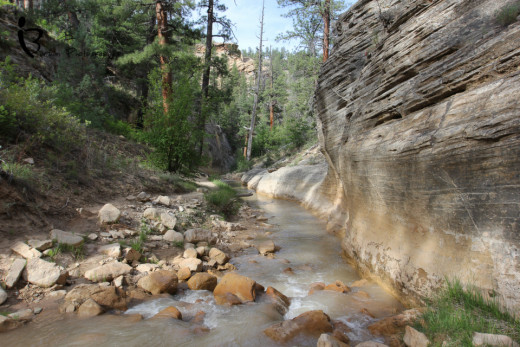
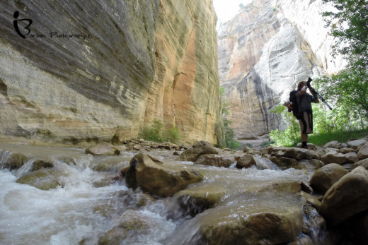
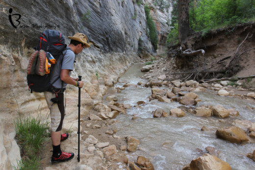
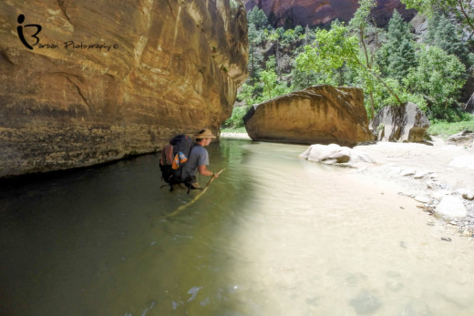
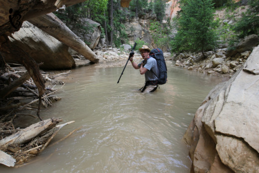
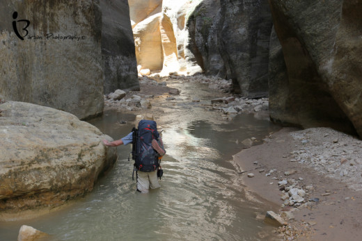
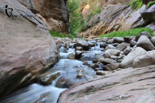
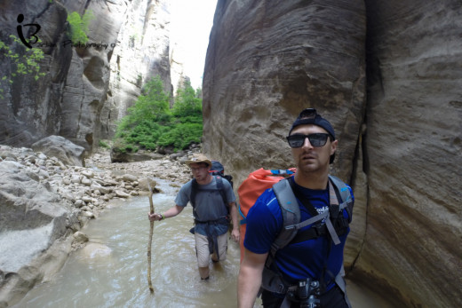
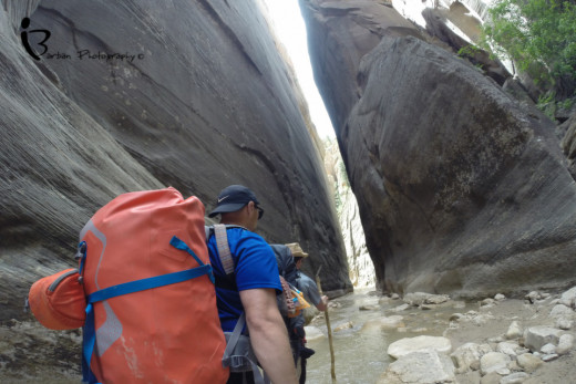
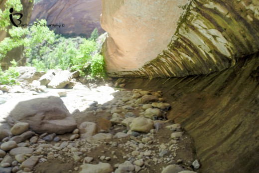
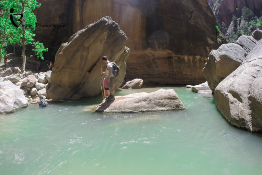
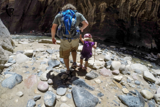
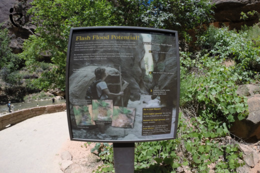
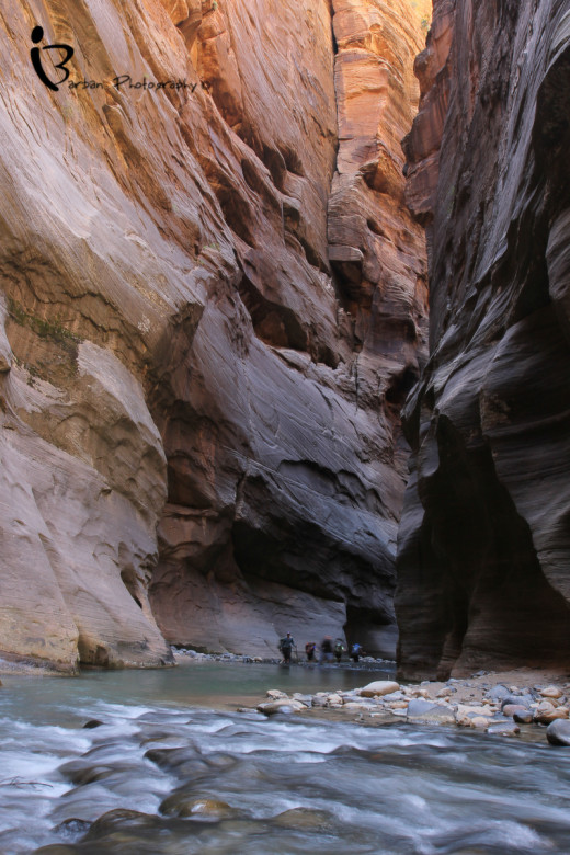
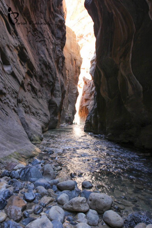
Eventually you will reach the river and begin to follow its windy path which forces you to criss crossing back and forth over its shallow waters. Some of the best advice I was given was to always take the low route through the water. This way ends up being easier and near impossible to get lost. As we continued on the more carved out the sides of the river became and you could just imagine the force of the water that rushes through this path. Gigantic logs crushed into dams obstruct the river at certain points fully out of the water for they were placed during a heavy rain when the gorge can fill up, more then ten times its resting state. Early on in this hike it become apparent why it is so important to either own or rent good water trekking footwear for you will be in water most of the hike. Plan on spending 60% of your time in the water and the remaining time walking on the riverbank. For most of the hike the water is less than knee-deep, but there is always the chance you’ll step into a pool that is waste-deep or deeper. The longest exposure to waist-deep water we faced was only about 20 yards. Each turn of the river brought on a new rock type or formation and as we delved deeper in to the canyon, the onset of claustrophobia became apparent to those who don’t like enclosed places. Shooting up over 100 feet on either side of us were enormous rock walls with water torn cuts along its surface. At the beginning of the hike we were strongly advised about the danger of flash foods and water levels! The difficulty of hiking the Narrows is greatly effected by water flow, and a strong enough rainstorm can turn a calm and shallow stream into a deadly wall of rushing water. Luckily for us it had not rained in a long time leaving the waters at a comfortable hiking depth. Please check the weather forecast and/or the Backcountry Desk for current conditions and for any advisories. Remember that it doesn’t have to be raining directly above you for a threat to be possible. To see the current and median water levels, check the USGS’s water data website. During a heavy rain its remarkable how much force flows through these narrows and since most of the surrounding walls are sandstone, the stream itself is actually deepening. Eventually it will make its way to the bedrock where it will stop receding. I can’t express enough how dangerous a flash flood can be especially if you are not educated or experienced in canyoneering; I also know how disappointing it can be to travel all the way to a destination only to be shut down by mother nature. People may call me an adrenalin junkie or risk taker, which I may very well be but every risk I take is a calculated one and jumping into a slot canyon with the chance of rain is not one I would dare.
Flood Chart
Months
| Water Flow (1=low)(10=high)
| Water Temp (F)
| Narrows Traffic (1=low)(10=high)
| Flood Danger (1=low)(10=high)
| Bottom Up Open
| Top Down open
|
|---|---|---|---|---|---|---|
Jan
| 2-4
| 40-45
| 1
| 1-2
| Mostly
| Rarely
|
Feb
| 2-4
| 40-45
| 1-2
| 1-2
| Yes
| Rarely
|
Mar
| 3-7
| 40-45
| 3-5
| 1-2
| Yes
| Rarely
|
Apr
| 4-10
| 45-50
| 4-6
| 3-4
| Mostly
| Sometimes
|
May
| 3-7
| 50-55
| 5-7
| 3-4
| Yes
| Mostly
|
Jun
| 2-4
| 55-60
| 6-8
| 3-4
| Yes
| Yes
|
Jul
| 1-3
| 60-65
| 7-10
| 5-8
| Yes
| Yes
|
Aug
| 1-4
| 60-65
| 7-10
| 5-10
| Yes
| Yes
|
Sep
| 2-4
| 55-60
| 5-8
| 5-10
| Yes
| Yes
|
Oct
| 2-3
| 50-55
| 4-7
| 3-4
| Yes
| Yes
|
Nov
| 2-3
| 45-50
| 3-5
| 1-2
| Yes
| Mostly
|
Dec
| 2-4
| 40-45
| 2-3
| 1-2
| Yes
| Sometimes
|


Canyon Camping
There are 12 campsites in the Narrows. Sites 2, 3, 4, 6, 9, and 12 can be reserved online approximately 3 months in advance or through the park’s lottery system. The rest of the sites may be reserved at the visitor center one day before the trip. I was able to see all of the sites during our hike and two of them really stood out to me as being the best ones. Luckily for us we were given campsite #6 which was by far one of the best!
- Campsite #1 is superb however in the event of a flash flood would probably be the worst. At the confluence of Deep Creek, the site is located on the left side of the river. This site has a maximum group size of 4 and is available for reservations online or on a walk-up basis. Its location gives you a beautiful view of the convergence of the Virgin River and Deep Creek and is where the water quality gets much better for drinking. It is also very open making it a great spot for anyone looking to do some night photography. Also since you will get there pretty early you have the option to set up camp then go and explore Deep Creek, but remember that you will have a longer hike the following day.
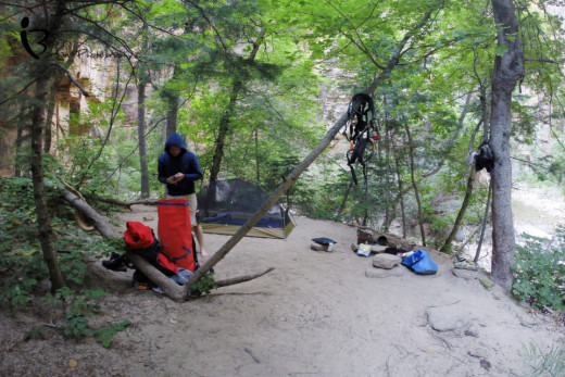
- Campsite #6 takes home the gold for its safety and uniqueness. At the confluence of Kolob Creek the site is located on the right side, 20 feet above the river on a bench. This site has a maximum group size of 12 and is available for walk-up permit only. It is perched high above any rising water threat and nicely covered by trees making it easy to set up camp. Its also a great spot for hammocks. Down by the water is a large flat rock that is nice to eat on or just relax. Once camp is set up take some time to wander up Kolob creek. This site also gives you a shorter hike the following day allowing you to do some exploring of other canyons along the way.
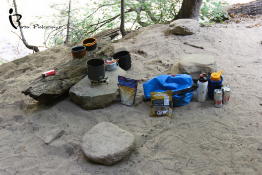
It took us about seven hours to get to our site, mostly because we had been stopping to take pictures and video around every bend. Hunger and exhaustion had started to set in and as we passed the first five campsite we became disillusioned and couldn’t remember what site we had reserved. We narrowed it down to either site 3, 6 or 11 and eventually remembered it to be #6. It didn’t take long to set up camp and I quickly got to preparing us dinner. On the menu was the typical backpackers meal: Mountain House dehydrated food packets - chicken teriyaki with rice to be precise – some beef jerky and a couple of beers. Now I know dehydrated food doesn’t sound too appealing but after seven hours of hiking through water just about anything tastes delicious, and to be honest the Mountain House brand is not all that bad. While the food was rehydrating we took the opportunity to do the same and enjoyed a beer down by the water on a large flat rock that overlooked the river. Slowly groups of hikers camping further down the river passed by us, most of whom did not even notice us. I can understand their tunnel vision at that point, for it becomes hard to focus on not tripping when you are tired and hungry. Getting to the campsite becomes your only priority, rendering the scenery moot. After we ate Richard and I were going to go explore the Kolob but I told him I was going to just lie down for 10 minutes first. Unfortunately as soon as my head hit the Thermarest I was out like a light. I had not slept well the day before and had not slept at all while in Vegas and apparently pushed my body to the point of shut down, though I must admit it is such a good feeling to close your eyes and immediately fall into a deep rem sleep. Richard was nice enough to let me rest and took the time to do some solo exploring of the Kolob Canyon. We ended the night off talking about life and how crazy it was that we were where we were, at that moment. It truly is a magical place where you can feel totally at the mercy of the earth yet safe in its confines, an eerie irony for it is nothing but a fickle sense of security. Being able to spend time in such a place, a place beautifully engineered by mother earth herself can turn the most hardened city slicker into an outdoor enthusiast.
What is your Favourite Campsite?
Campsite #6
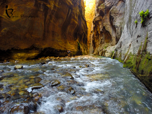
We awoke the next day rested and ready to tackle the other half of the trail. With every muscle stiff as a board we began to take down camp with little to no sunlight due to the narrow opening at the top of the canyon. The sun didn’t start entering the canyon until about 11am but it made for some really cool pictures. As the sun slowly crept down the side wall it produced an ominous two-toned lighting, leaving the lower half cold and shadowless, crowned with a golden upper half.
Day #2
As we passed the last of the campsites we entered the “lower Narrows” which starts at “Big Spring”; this point of interest is the turnaround point for those exploring the Narrows from the bottom up. It was neat to see the path of least resistance as the water mysteriously poured from the side of a gigantic rock wall. Slowly the walls began to close in and we found ourselves once again lost in the surreal Narrows. Since it was still pretty early, we were the only ones hiking and we found the isolation refreshing and welcoming. Unfortunately as the day passed and we got closer to the bottom we began to start passing people doing the one day bottom-up trek. It was astonishing how many people were hiking the shallow waters as we made our way down from our excursion and at some points I began to not enjoy myself. I had become accustomed to the solidarity and silence of hiking the Narrows with just myself and Richard. This is by far one of the biggest advantages of hiking the Narrows from the Top down because you really get a chance to see all that it has to offer, uninterrupted. Also for photos sake, it is nice to be able to have a few shots without random hikers in the frame.
We were making really good time on the way down, mostly due to the fact I was not taking as many pictures as the first day, so we decided to take a little detour. At about the 14km mark on your left you will come upon a fork in the trail. If you take the left it leads you up Orderville Canyon. For the day trippers it is advertised as a short 30min hike to a nice waterfall. For the more adventurous, you can hike it from the trail head 11.5 miles up the North Fork rd. Orderville Canyon is considered the little sister to the famous Zion Narrows and is a great “semi-technical” day hike for beginning canyoneers and experienced hikers. Orderville is narrower and darker than the main Narrows, but seeing that beauty comes at a cost. Like the Narrows hike, you will be in the water almost all of the time and depending on conditions, there may be several deep pools, some that require swimming. You will also encounter many boulders and rock formations that you must carefully scramble down, including two major obstacles that require a rappel or handline. All of this “work” adds up to an incredible canyon hiking experience. We decided to hike up it to see the last waterfall on its run and when we got there, it was not what I was expecting.
It was actually quite small but was nice to swim in. I noticed that there was a rope dangling around in the water which I assumed was to help people coming down but I decided to use it to try to go up. It was not an easy affair but after a struggle I made it up. I then decided to do a little more exploring and told my partner that I would be back in 30min and if I had not returned in that time to get help. As I got deeper into Orderville it presented one challenge after another and I had to defeat them. Next thing I knew I had climbed about four small waterfalls and was running out of time. Eventually I had to turn around and run back so that Richard would not get worried. While I was climbing, alone and without any gear I ran my Gopro to catch some pretty neat footage of my struggles.
After our short escapade through Orderville we made out way back down the Narrows towards The Temple of Sinawava. It had reached the point of the day where the sun was directly overhead, kicking up the temperature in the canyon noticeably. This made walking in the water much more enjoyable especially the points were we were trudging through waist deep waters. As we got closer to the end, the canyon began to open up and a lot more greenery was present which meant more wildlife. At one point I came across a deer that must have made its way up the canyon at night when there were no people around to spook it. Once you pass Mystery Canyon waterfall you are home free. The water trekking ends and you begin walking along a pathway. By now our legs felt like jello, however it was refreshing to no longer be walking along a wet rocky floor where you were constantly fighting to not roll an ankle. At this point you have completely left the seclusion of the canyon and are surrounded by hundreds of avid hikers of all kinds. Everyone from families, to what looked like a biker gang, was wandering around the Temple of Sinawava, some basking in the sun and others moving slowly up the river. The free park shuttle actually buses to the trail head making it very easy for anyone to enjoy the tail end of the Narrows.


In my opinion one of the hardest parts of hiking the Narrows from the top down is the last uphill climb from the Temple of Sinawava to the bus. Exhausted, tired and moving uphill into the heat I found the last bit of energy I had left to make the last leg of the journey. Once we got on the bus an instant feeling of accomplishment and gratification took over. We were dirty, stinky and in the same clothing we had begun our adventure in, but it made no difference to me as I happily engaged in conversation with the couple sitting beside me. I knew they understood where we were coming from and looked/smelt past our apparent odor with reverence to our accomplishment. Hiking the Narrows from the top down is by far one of the best hikes in the world and #1 in my books. For avid hikers, adventurers and photographers I recommend the top down hike as it provides you with an uninterrupted experience of the Narrows and an amazing backcountry hiking experience. Words only skim the surface of the effect these canyons have on you.
