Nickel Plate Trail


Travel the Nickel Plate Trail
The Nickel Plate Trail offers residents and visitors a safe and beautiful place to walk, bicycle, or inline skate on it's paved surface. The trail is currently divided into two sections. A 12.7 mile southern end between Peru and Cassville Indiana in the northern part of the state and a northern section that runs from the north side of Peru, up to Rochester, Indiana, a distance of 25 miles.
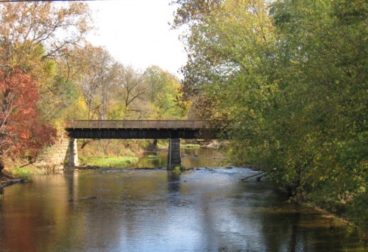
Traveling the Nickel Plate Trail gives users a good look at rural Indiana, both the farmland and the small towns that lie along it's path.
The First Section of the Nickel Plate Trail
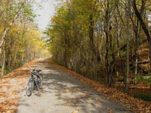
In late October 2010, I took my first trip on the Nickel Plate trail. The first section I rode was from Peru, Indiana southward thru Bunker Hill to Cassville, Indiana. A total distance of 25.4 miles round trip. This section of the trail was entirely paved with asphalt and was lightly traveled.
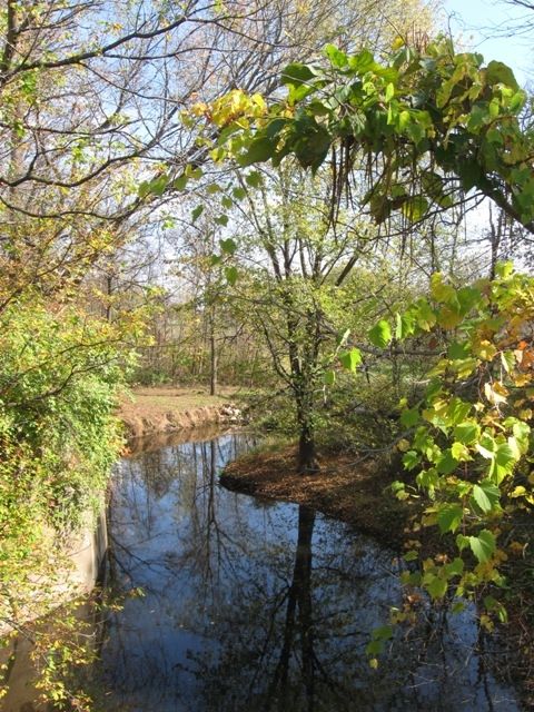
Intersecting county roads and streets posed absolutely no difficulty and in fact, I encountered no vehicles at the crossings during the entire trip. While trees surrounded probably over 1/2 of the length of the trail, there were portions that were open and completely surrounded by farmland.
This southern section of the Nickel Plate Trail was mostly flat. There were some gradual inclines/declines which seem most pronounced toward the northern end, closer to Peru.
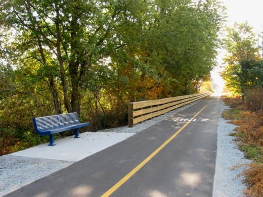
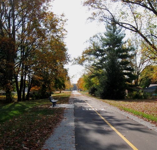
There were a number of potential rest stops along the trail where benches were placed. Peru is the largest town along the route with a population estimated to be around 13,000. The pavement along the Nickel Plate trail in this first section ends on the south side of Peru, just off of Wallick Road so riders don't actually pass through this town.
Parking is available at the Wallick Road trailhead as well as at the southern end, in Cassville. These trail heads are also where you will find a simple port-o-potty.
The Second Section of the Nickle Plate Trail
The second section of the trail can be accessed at the north end in Rochester. It can also be picked up in the various small towns it passes through, Macy, Deedsville, Denver, and also at the southern tip just north of Peru on Lover's Lane (limited parking available). This section is rolling and wooded along it's southern most portion and then levels out and opens up more as you travel north. Denver and Rochester are the largest towns on this section.
Again, traffic is very light and the surface is perfect for bicycling and skating as well. You can find a map of both sections here.
See More of the Nickel Plate Trail - Click on Thumbnail Images to Enlarge
Click thumbnail to view full-size

 section of the Nickel Plate trail. This is where the pavement ends, on the southwestern edge of Peru.")


 section of the Nickel Plate trail. This is where the pavement ends, on the southwestern edge of Peru.")