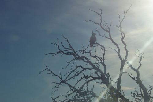
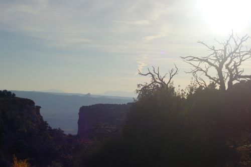
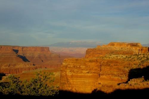
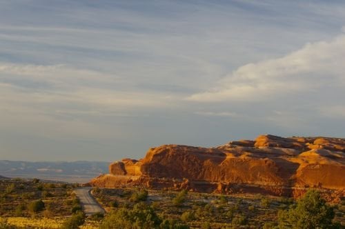
Scenery in Utah
Southern Utah
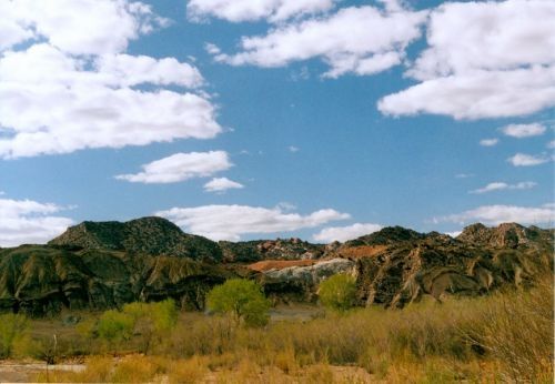
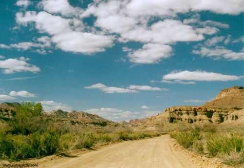
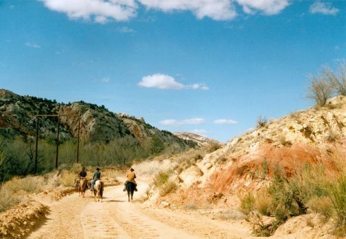
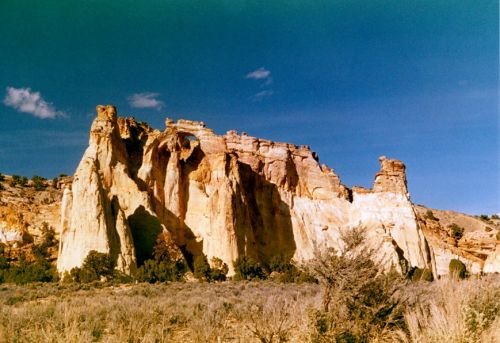
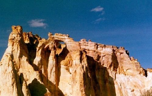
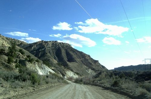
So far, I have not had the opportunity to go further into Utah than the south, although I did go all the way up to Moab on one trip. The places I have visited include Zion National Park, Bryce Canyon National Park, Grand Staircase - Escalante, and Canyonlands. For those who are less familiar, Grand Staircase - Escalante is a relatively new park, and interestingly, they have major electric lines going right through the main canyon. But there is much varied beauty there, and it is where Grosvenor Arch is located. This arch doesn't look like much from the ground, but it is larger than it looks.
The day I visited Zion, it was rainy and foggy. I was riding in the tram, and the windows were so foggy I couldn't get any pictures out of them. And it was raining enough that I didn't want to get out someplace and wait for the next one. So that kept the number of photos quite low. Still, I got a few nice ones.
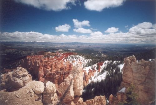
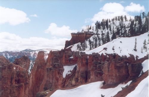
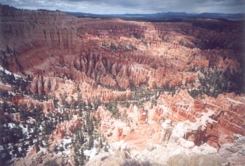
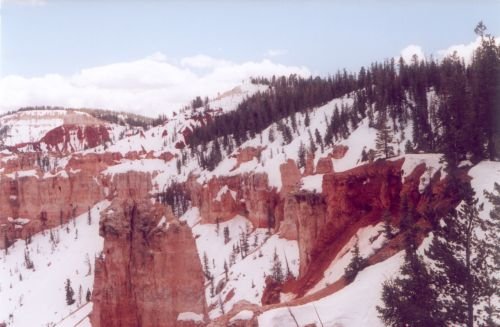
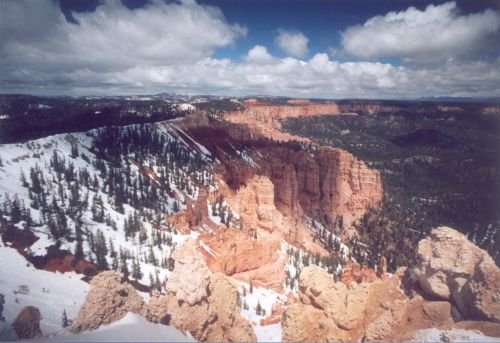
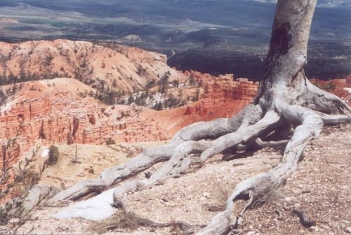
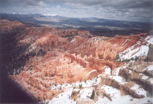
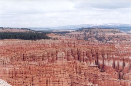
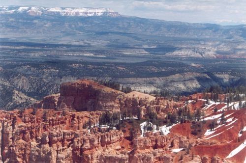
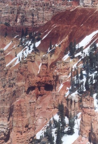
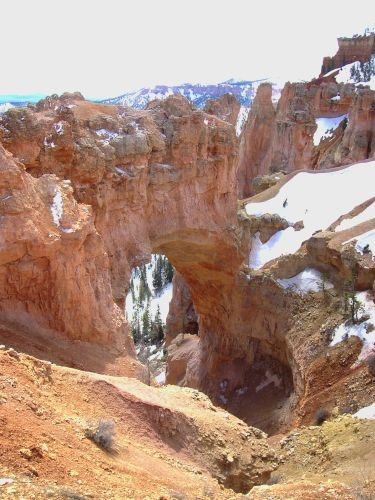
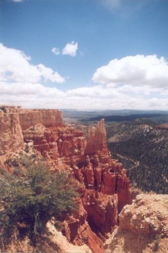
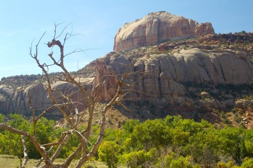
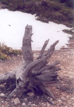
Bryce Canyon had snow (and this was early summer!) and it was bitterly cold at an altitude of nearly 9000 feet. I deliberately went there anyway, to get snow pictures. And I did. Bryce Canyon seems like an inverted canyon to me, because you go along the top of a rather lengthy mountain ridge, and the canyon part is on both sides. The photo on the left was at one of the highest elevations, with a patch of snow. I like taking photos of old, half-decayed wood.
Grand Staircase - Escalante was a different trip, as was Canyonlands.
Zion National Park
I first traveled along the extreme southern edge of Utah. They say Wyoming has big skies. Well, Utah does, too. I was too busy driving to take many pictures, and I will have to find a few later. I first traveled just north of the Vermilion Cliffs, which stretch for miles just south of the highway. Highways in Utah are generally not as improved as highways in Arizona, and I have found that the triangular signs that announce the beginning and end of passing zones are absent. These are particularly useful at night, and provide another measure of safety. I miss them. There are many stretches of roads where the highway is only two lanes, so you do a lot of passing. I then drove through Zion, because the place I wanted to stay was on the other side. I found the hospitality in that part of Utah to be amazing. I forgot about daylight savings time, and ended up there after 9 local time, when restaurants and things are closed, so the woman at the front desk of the motel called a local pizzeria and asked them to take my order and let me pick it up. They did, and I did. She also gave me a special room and made sure there was a parking space right in front of it.
The next day, I drove back into Zion. My goal was to reach the part of the canyon where the tram runs. I feel lost without my car, really, because I don't remember the route nearly as well, and as you will see, that played into the pictures I got. Things weren't too bad at first; I could see out the windows. We arrived at the other end where there is a famous waterfall. That is over 1000 feet high and is quite impressive.
Not long after that, things changed, and it got rainy. The tram wasn't ready to leave yet, so I took some photos in another direction.
That is a flowing stream at the bottom of each picture.
After that, I took the tram back, but I couldn't remember for sure WHICH of the two parking lots had my car in it, and I got confused, and when I got off at the first one we reached, I thought, "That's not right!" so I got back on the tram, thinking I was heading "west." (Remember, I was pretty confused by that time, so I'm not even sure what the real directions were, and to this day, I can't find the place on a map!) I wasn't. I was going "east," and when the next stop I got to wasn't the other parking lot, I knew I had gone the wrong direction. So I got off on the NEXT stop I saw, and turned around, and this is what I saw. These are the Three Patriarchs. This was when I learned that bad weather can make just as beautiful photographs as nice weather!
Eventually, I found my car and drove out. I saw this waterfall on my way up the side of the cliff that leads to the tunnel.
The weather was also good for something else: nice waterfalls. I miss having the kind of access to waterfalls a lot of people enjoy.
Red Rock Canyon
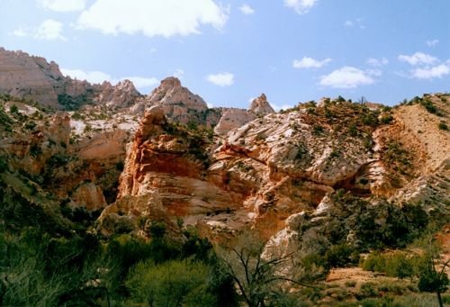
I spent the night in a little town, which as I recall, was called Hatch. If it was big enough for a traffic light, it had only one. This little motel was on the outskirts, and when I went to arrange for a room, I was so hoping that she'd give me one in the main building, because it was cold as the dickens, and I wanted to be able to get to the restaurant without having to go outside. She did! It was upstairs, and all that heat rising from the lower floor was welcome as well. After settling in, I went down and had some supper and then slept the night. The next morning, I ate breakfast there, and the waitress who served me was very friendly and we had a long and wonderful conversation. She is the one who told me about Red Rock Canyon. You have to pass through this canyon to get to Bryce Canyon. So I left, and before long, I was in the canyon. The rocks are amazingly red!
I didn't really feel I had any time to explore, so I hope to go back someday.
Bryce Canyon - in no particular order
Click thumbnail to view full-size


Bryce Canyon was pretty much what I expected. It was my second trip to both Zion and Bryce, and I remembered both vividly.
As I said before, it was bitterly cold. The elevation was also much higher than I expected. Between the two, it was a bit of an effort to walk up a hill there, but I did on a couple of occasions. I live over a mile lower in altitude, and I am no longer used to that kind of thin air!


Grand Staircase - Escalante
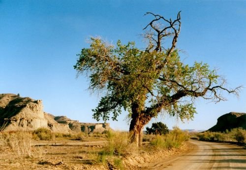
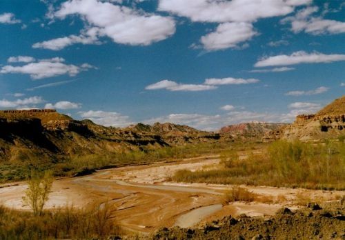
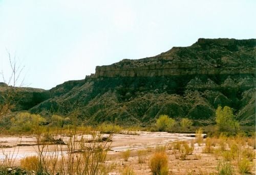
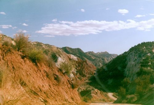
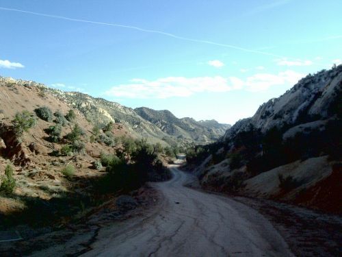
As you will see in this next set of photos, there is a river running through the area where the road goes. This river pretty much follows the road most of the distance to Grosvenor Arch. We are told NOT to go there during rainy season, because even four wheel drive vehicles can get stuck miles from nowhere. This particular beautiful spot was recommended by my friend Charly Moore, who owns an art gallery in Page, and also conducts tours of slot canyons there. I'll tell you about him sometime, because he is a very interesting character and a really decent human being.
These photos are in chronological order, more or less.
Photo Gallery
Click thumbnail to view full-size


Salt River Canyon
On the way to Canyonlands
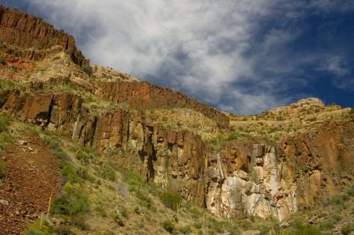
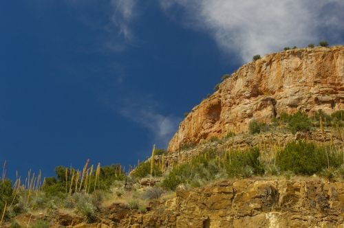
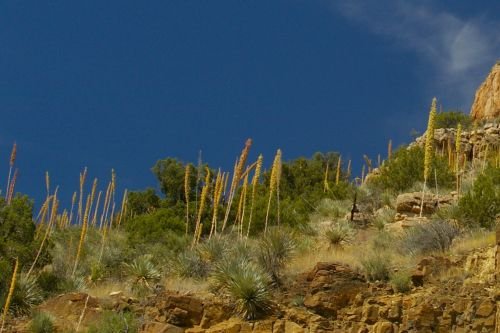
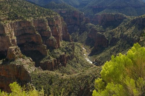
Going north from Globe, on the way to Canyonlands, my next stop, the highway goes through the Tonto National Forest, which is on the Apache Indian Reservaton. In the forest is Salt River Canyon. There are some pretty spectacular vistas along the road.
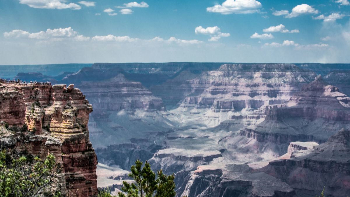
Part of the highway goes through a canyon, and part is on the side of a mountain looking down into the canyon. It isn't as large a canyon as the Grand Canyon by far, but it reminds me of the Grand Canyon anyway.
Salt River Canyon
Click thumbnail to view full-size


Almost at the border of Utah
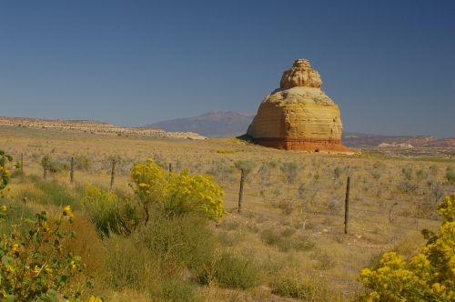
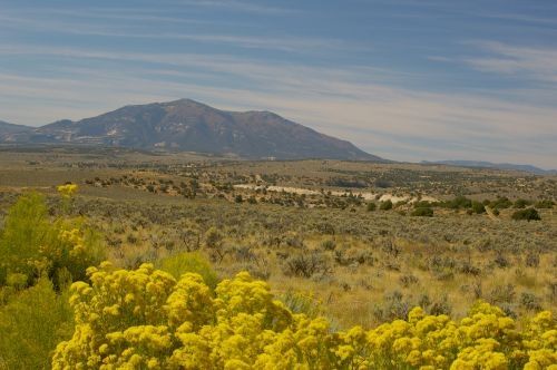
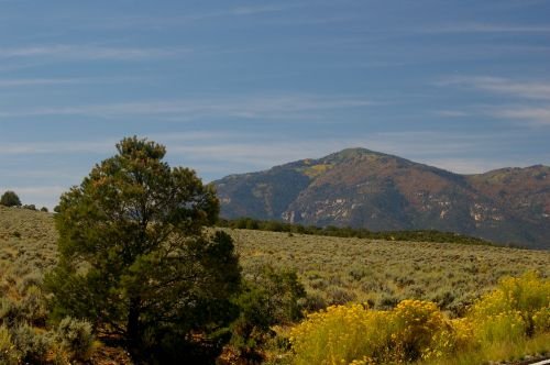
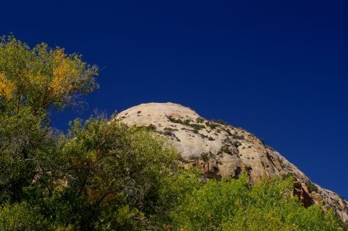
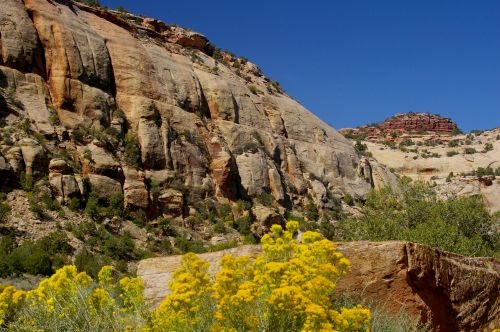
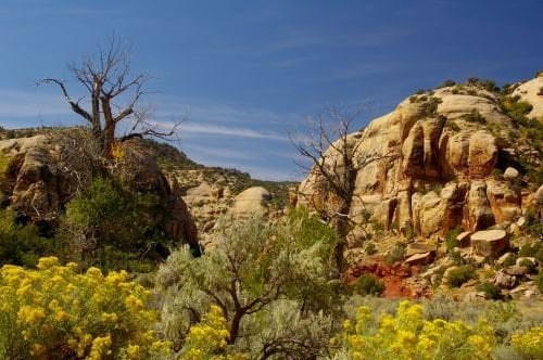
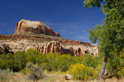
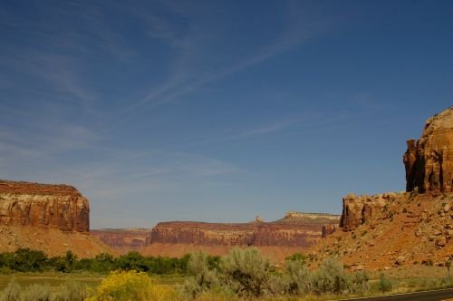
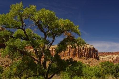
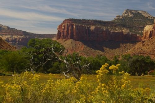
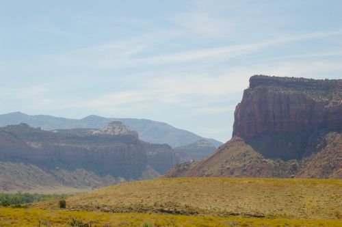
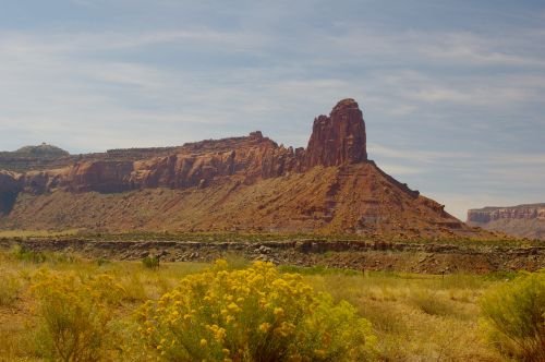
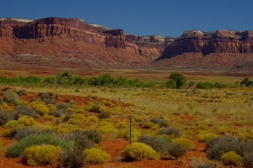
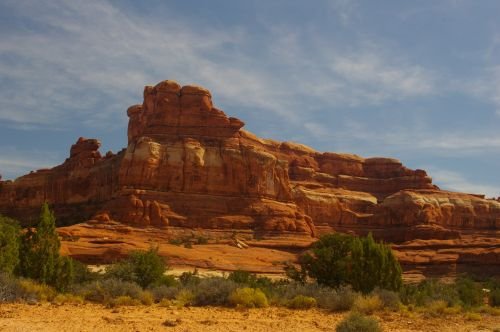
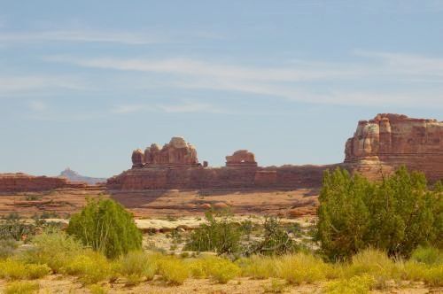
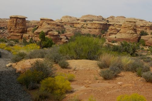
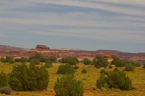
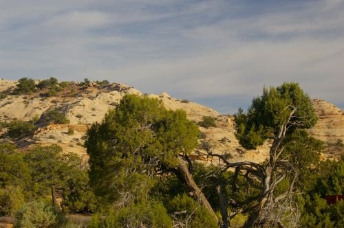
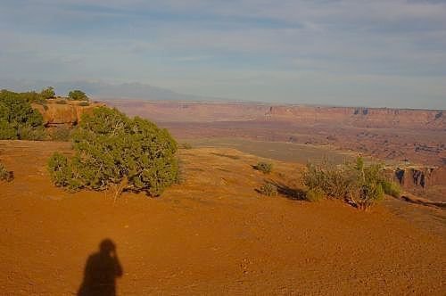
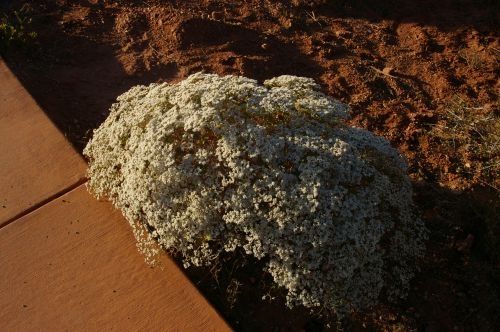
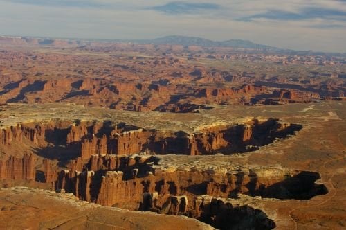
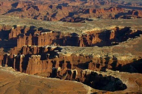
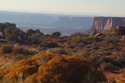
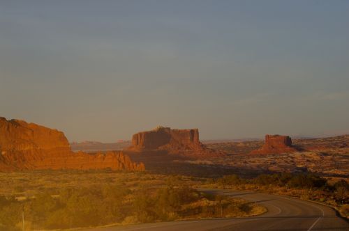
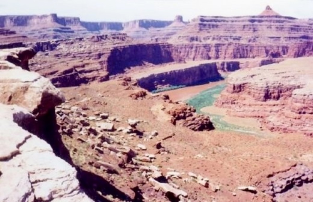
The huge park known as Canyonlands is in southeastern Utah. It's a bit of a drive up there before you even reach it, and there is a lot of pretty scenery on the way. I went in August because that is when I would see the wildflowers. It's too cold for them to bloom in the spring. Along the way, I saw some fall colors. I even saw these with flowers in the same stretch of road. Pretty amazing!
Canyonlands - in approximate chronological order
Click thumbnail to view full-size


Northern Road into Canyonlands
Click thumbnail to view full-size


