Turkey Run State Park
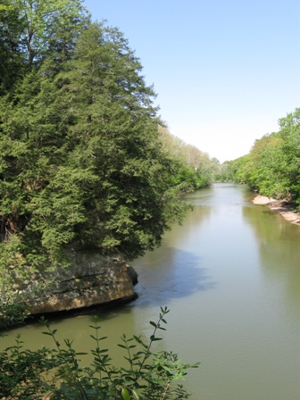
Exploring Turkey Run State Park in Indiana
I grew up in Indiana. My parents frequently took us to state park areas for the day and I grew to love the experience of hiking in the woods with the sights, sounds, and smells of nature replenishing my soul. Our excursions weren't limited to state parks but certainly, they were the most convenient and frequent trips we made.
Luckily there are a number of state parks to explore. Turkey Run is one of the oldest parks in Indiana and is still fairly popular. I was there recently, taking an afternoon off to enjoy the beauty that May brings before the heat and humidity of summer settles in for a long stay.
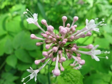
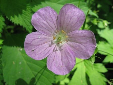
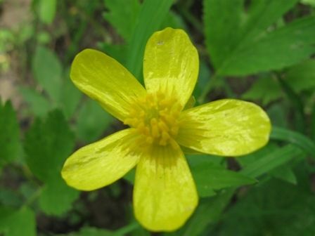
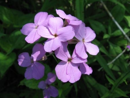
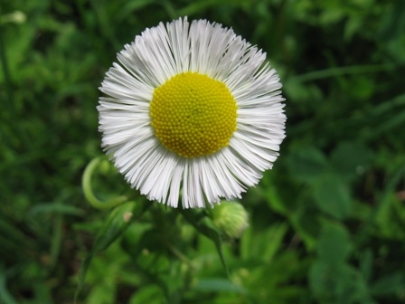
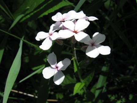
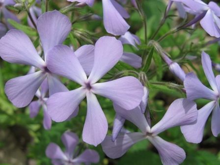
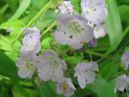
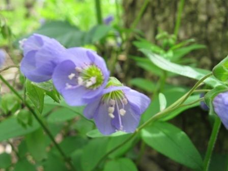
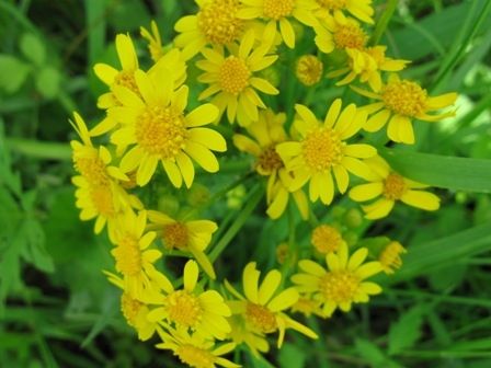
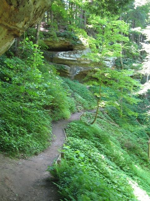
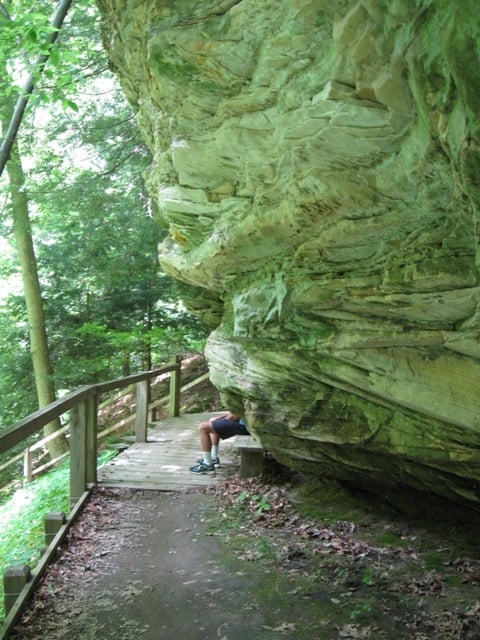
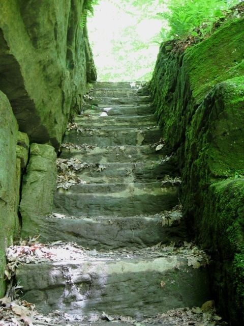
I took a few photographs which I'll share on this page, in fact I put a few spring wildflower photos into a short slide show for you to enjoy as well. Wherever you are, I hope this will motivate you to get out and enjoy something just as real and alive.
Getting to Know Turkey Run
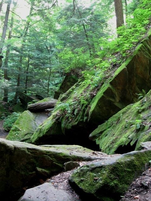
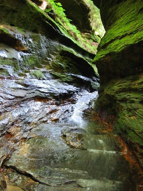
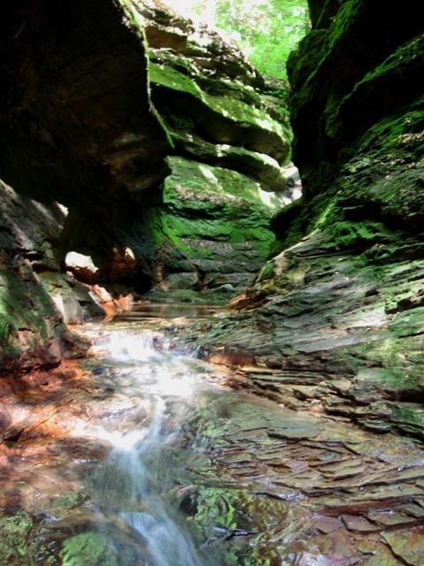
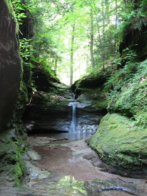
A pparently, the land that originally made up Turkey Run was purchased around 1916 by the state, with the help of the Indianapolis Motor Speedway. Interesting pairing, huh? Anyway, the park is bisected by Sugar Creek. Many of the smaller tributaries to the creek run down from the surrounding hillsides to the stream, and, in their course, have gouged deep gulleys in the sandstone. These small canyons are home to a profusion of moss and fern amid the layered stone.
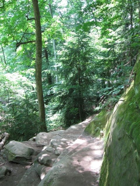
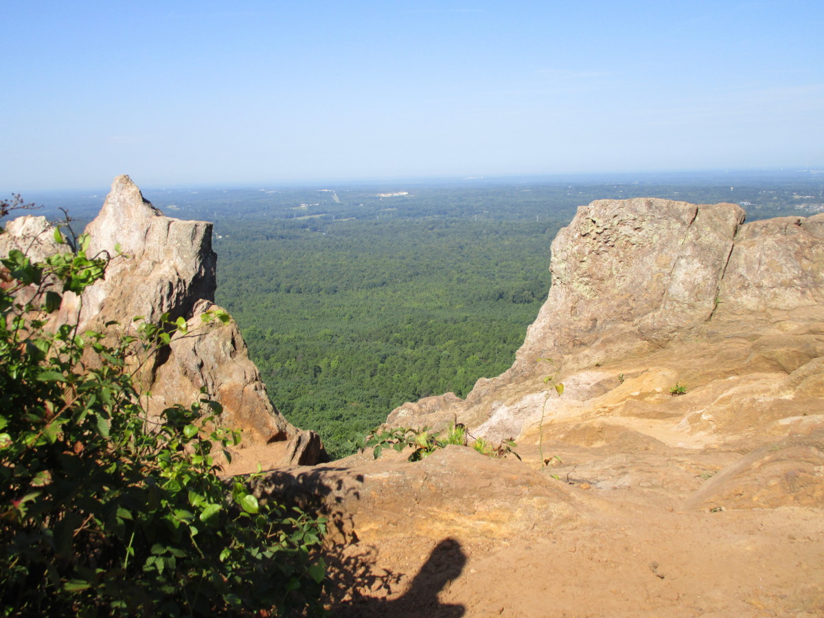
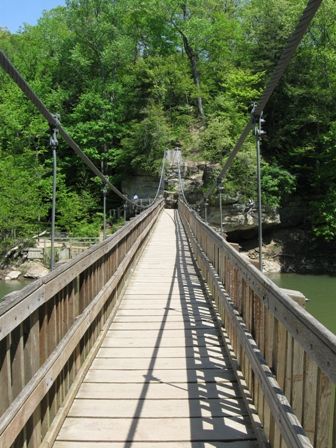
Above, however, are the wooded hillsides, some of them offering a nice lookout to the other side of Sugar Creek. There are picnic areas, a swimming pool, a saddle barn, nature center, cabins, a few hiking trails, and the Turkey Run Inn on the south side of the creek. However, many of the trails lie to the north. The Suspension Bridge (pictured here) is the only way for those on foot to cross the creek.
My Favorite Hike
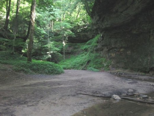
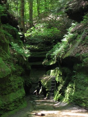
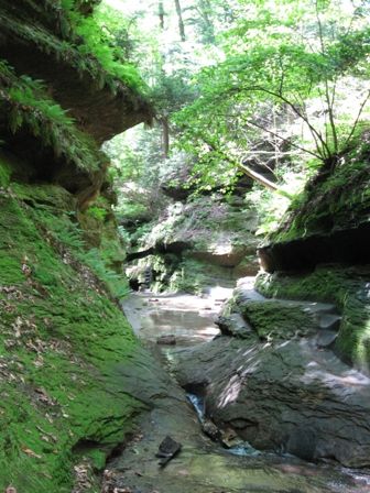
I guess if I were to choose a favorite hike at Turkey Run, it would be Trail 3. It's 1.7 miles long and, for a portion of it, runs through a gulley created by a small stream. There are steep walls on both sides, often moss covered. It's a perfect hike on a hot summer day as it can be much cooler here. Of course it's quite damp, and in spring there's plenty of water to wade through.
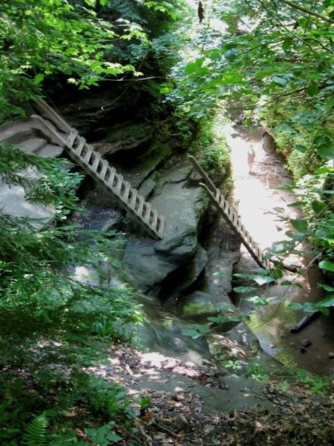
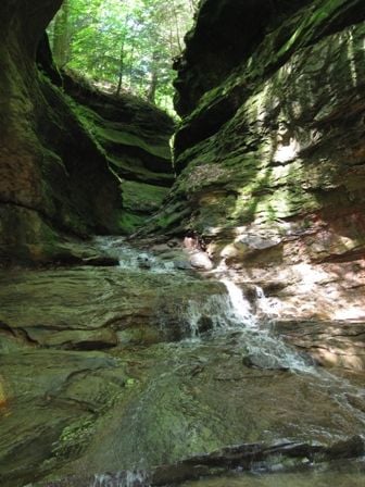
You sometimes find yourself walking along a very narrow rock ledge, perhaps a foot wide, pressed against the cliff. Despite the dampness, the footing isn't overly slippery. At one point you do have to climb up, or down, depending upon your direction, a small cliff with just toe holds, but most people can manage it safely. I have a couple of pictures of the area here, but some of the more impressive spots I missed as I was concentrating more on my footing, enjoying the view, and keeping my camera safe! The size is certainly not overwhelming but it really is rather magical, especially on days when there's a rising mist or a bit of fog.
The Devil's Punch bowl is in the same area, and you merely need to turn off on trail 4 to get there.
More Hiking
Trail 3 to the west is interesting as well, but any hiker with small children or pets might be advised to stick with other trails. Certainly trail 10 can be picked up to complete your trip instead of taking this last, or first, bit of trail 3. The problem is ladders. They aren't extremely high, but if you have a fear of heights they could be a challenge and they're completely vertical. They're constructed with heavy timber and small hands won't really reach around them for a good grip. They get damp and a sandy residue accumulates on them, making the grip even less sure.
I can remember my father carrying our German Shepard up these ladders, so yes it can be done, but no, I don't really recommend it.
Other Trails
I also like trail 9. It takes you out into virgin woods, it's a bit rugged but it's only a mile long. If you're looking for something simple, trail 10 really isn't too bad. It starts off from trail 3 after you cross the suspension bridge. The only thing rugged about it is at the begining, where you hike up hill for about 1/10 of a mile. After that, it's fairly smooth sailing. You culminate at a point that gives a scenic view of an adjacent hillside, called Camel's Back. This hike is best in the fall of course.
Trail 11 is the shortest and easiest; only about a half a mile long. It takes you to an old log Church. Trail 6 then will take you over to an old log cabin and then up some stone steps and a lookout built in the 1930's by the CCC that looks out over Sugar Creek. That's a photo from the lower part of the lookout in the introduction above.
Along Sugar Creek
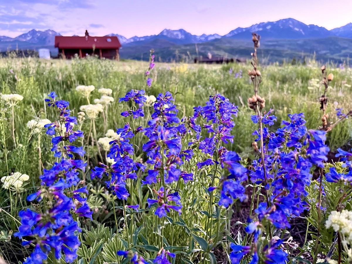
S ugar Creek runs through Turkey Run. Canoes are a frequent sight here and rentals can be found around the area. There are of course trails that run along the creek where some very large Sycamore trees can be seen. The area is also a great place to find wildflowers in the spring. I've included a few shots in a slide show here.
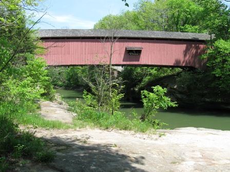
If you hike along trail 4 to the east of the suspension bridge you eventually come to one of the park boundaries where you'll find the Narrows Covered Bridge. If you turn and go north just a bit you'll come to the Salmon Lusk home. There are tours available of the home for those of you who like the once luxurious homes of rural entrepreneurs from the early 1800's. The Lusks also had a mill and a small coal mine in the area which you can see. You can't enter the mine, and probably wouldn't want to since it's only 3 feet high, but it's also now reserved as a habitat for bats.
Wildflowers in Turkey Run - Click on Thumbnails to View Images
Click thumbnail to view full-size


Look Around Turkey Run - (Click Thumbnails to Page Through Photos)
Click thumbnail to view full-size


Spending Time at Turkey Run
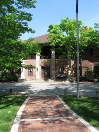
A visit to Turkey Run can be just an afternoon visit or you could easily while away an entire weekend. Certainly there are campgrounds for campers and even rustic cabins that you can rent. For those who like more of the modern conveniences there's also the Turkey Run Inn. It has a nice indoor pool and restaurant of course. The link here provides some nice pictures of the Inn and all the information you might need.
Not far from the cabins and Inn are tennis courts, an outdoor pool, nature center, picnic grounds, and even an open meadow to enjoy whatever activity comes to mind.
The park is open year round but of course winters in Indiana can make hiking difficult if there's snow and ice on the ground. Steps, ladders, steep hillsides and gorges could make some trails treacherous. Trail 11 which leads to an old log Church is very easy and portions of Trail 1 should also be passable nearly anytime of year. Often, if there is significant snow or ice, the park is fairly desolate anyway and we walk along the deserted roadway to enjoy the snow covered trees. My personal preference is to visit in April and May or late September, October, or November for the best hiking weather. Warm weather offers the most beautiful flora but colder weather eliminates any energy sapping humidity and offers the ability to see a vaster area.
Turkey Run State Park in the Autumn
For More Information
Turkey Run State Park is located near Marshall, Indiana in the west central portion of the state. It has approximately 14 miles of hiking trails and offers horseback riding, fishing, camping a variety of other recreational activities.
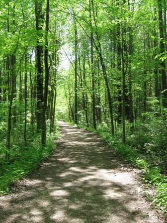
Some hiking trails are quite short and easy, taking a route through relatively flat wooded areas. Other's are much more rugged and require you to walk in stream beds and climb small rocky cliffs with flowing water, ladders, and so forth. You can find a map of the park, a list of the rules and regulations, and more detailed park information at the Turkey Run site.

