The Zionsville Rail Trail
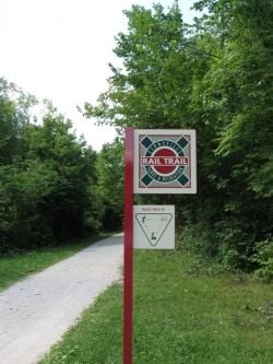
Take a Look Around the Zionsville Rail Trail
Rail trails have sprung up around the country in the past 10 to 15 years. They have been a popular way of making use of old rail beds which offers residents a good fitness activity. A number of these rail trails exist in Indiana and they are increasingly connected. They give walkers, bicyclers, rollerbladers and others a chance to get out and enjoy the area in a safe manner.
On this page you can learn a bit more about the rail trail that currently originates in Zionsville, Indiana and enjoy a few photos of the area. The Zionsville Rail Trail is not among the longest, but it is perhaps the start of something larger.
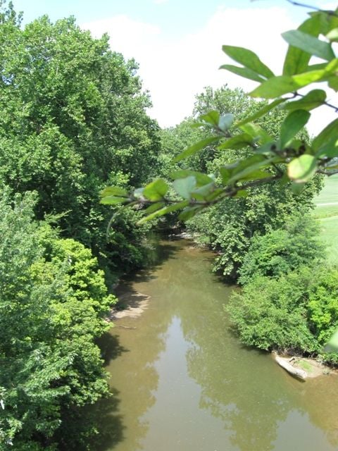
The Zionsville Rail Trail
The Zionsville Rail Trail is currently 3.5 miles long. It runs from Boone County road 875E to Eagle Creek on the south west side of Zionsville, Indiana. It's surface on the north end is asphalt and at the south end it's crushed limestone. Both are easily traversed by walkers and bicycles. The trail is flat and roller blades and wheelchairs can obviously make used of the paved portion.
One of the really great characteristics of the trail is the lack of roadway intersections which makes it extremely safe. The trail is well maintained and allows users to experience both rural Indiana as well as the town of Zionsville which offers a quaint shopping area just a mile or two east of the trail. Antiques shops and restaurants are plentiful here.
Parking is available at the Starkey Nature Park Trailhead at the southern end.
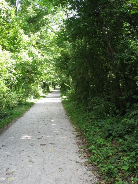
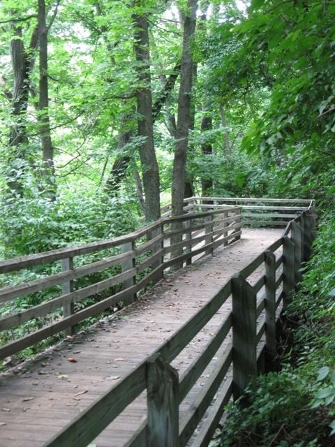
At the southern end of the trail, an old rail bridge crosses Eagle Creek. (pictured above) The trail ends/begins here. Users can choose to go north along the rail trail or turn to the west and take a route down an extensive boardwalk (pictured below in the slide show) down to the creek. Dogs particularly love this portion.
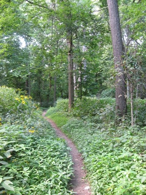
At this point you have entered Starkey Nature Park, a 77 acre nature conservancy. It includes a 5K and a 3K trail loop which winds around through the flood plain. The paths here are more narrow and the surface is mostly dirt and sand. There are trail maps posted throughout the area. I have a couple of photos of these footpaths posted in the slide show below as well.
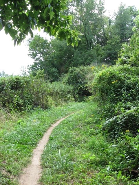
For the Zionsville Rail Trail however, users need to travel north. The picture to the right shows a small section of the crushed limestone trail along this southern portion of the trail, heading north.
Traveling north along the rail trail, users will come to a fork; splitting off to the right merely takes you to the street above the trail, highway 334 where there is a shopping area, fast food, and small restaurants. Taking that road eastward a mile or so, will put you in the heart of historic Zionsville and it's antique shops and restored homes.
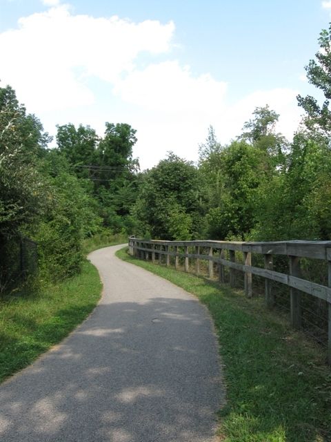
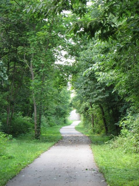
Taking the fork to the left allows you to contnue along the trail, which has an asphalt surface. (see it pictured to the right). You'll pass through a small tunnel and the trail will begin to curve westward as well as you continue beyond the Zionsville area and on out into the more rural areas of Boone County toward Whitestown. The trail doesn't currently take you all of the way to Whitestown, but it can easily be reached using the county roads, which have light to moderate vehicular traffic, if you choose to do so.
The future may hold additional trail extensions however. There are some plans to extend the trail 50 miles, allowing it to run from Zionsville all the way to Lafayette, Indiana in Tippecanoe County. Other proposals also advocate extending the trail south eastward to link up with Indianapolis' Monon trail which is already a lengthy urban trail by itself.
A Look Around the Zionsville Rail Trail and Starkey Park
Click thumbnail to view full-size


