- HubPages»
- Travel and Places»
- Visiting North America»
- United States»
- Massachusetts
3 Boston Hikes - So close, yet so far away!

Boston is a world-class city with pedestrian flair. In fact, Boston is often called America's Walking City because it is so compact and densely populated. But many visitors to the City on a Hill might be surprised to learn that Boston is also a great hiking destination.
Not only is it a gateway to amazing New England hikes in New Hampshire, Vermont and Western Massachusetts, Boston also features some first-rate hiking just minutes from its historic downtown. These hikes close to downtown will blow your mind.
These three hikes - a 5 miler, a 7 miler and a 10 miler - are located on conservation lands within the Middlesex Fells and Blue Hills reservations, so it is important to follow Leave No Trace ethics when enjoying these parks. Responsible hikers will be amazed as they are whisked away to wilderness bliss while enjoying unbeatable views of Beantown's noble skyline. So strap on a sturdy pair of shoes, grab some trail mix and a bottle of water, and head out to enjoy Boston's nearby wild and wonderful trails.

Rock Circuit Trail - The Fells
QUICK STATS: 5 mi (8 km), 900 ft (274 m) elev gain/loss
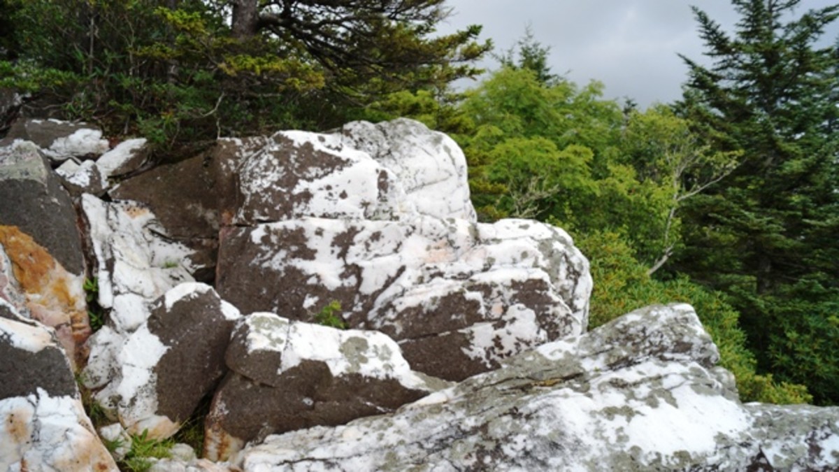
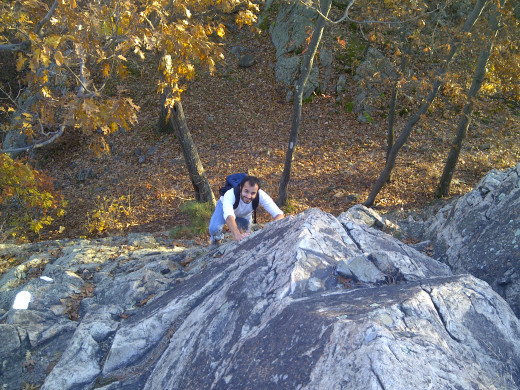
The Rock Circuit Trail in the eastern portion of the Middlesex Fells Reservation is the closest and most accessible of these three Boston area hikes. It isn't a very long hike, but make sure you have about five hours to spare when you set out because it is a hilly and quite strenuous one. The Fells is so-named due to the dozens of rock outcroppings - named fells after similar geographical features in England - that scatter the reservation. And the Rock Circuit crosses nearly all of the fells in this section of the park.
To get to the Rock Circuit Trail, take the MBTA Orange Line north to Oak Grove Station and follow local streets to the trailhead. From the station, go north on Washington Street, turn left on Glenrock Avenue, and then, after two blocks, turn right on Brazil Street. About 30 yards from here you will see a gate on the left side of the street with a path leading up a steep hill into what Google Maps cites as Oakdale Park.
Follow the trail up this hill to where another trail crosses it - this is the Rock Circuit Trail. You can go either way here, but I recommend going right. Continue on and you will begin seeing signs for the Rock Circuit. Follow the white blazes along this entire loop for its full 3.7 miles and you are guaranteed an incredible, fun workout with lots of ups and downs.
The total hike distance is about 5 miles from Oak Grove Station. Hiking times vary, but give yourself time to take frequent breaks. Soak in the spectacular and ever-changing views and enjoy the Rock Circuit's special surprises - like a dramatic waterfall and interesting rock formations.
NOTE: You will cross Fellsway East twice on this hike, once out and then on your way back, so be careful as drivers use this two lane road as a commuter highway and rarely slow down when they see hikers crossing.
Skyline Trail - The Fells
QUICK STATS: 8 mi (12 km), 1,600 ft (488 m) elev gain/loss
If you're looking for something a bit longer than the Rock Circuit but still as accessible, the Skyline Trail is a great place to hike in the Middlesex Fells Reservation. This trail is accessible by MBTA bus or even by commuter rail via Winchester Station, but it is most convenient when you have a car. Take Main Street south from Stoneham or Fellsway West heading north from Roosevelt Circle to find the Sheepfold entrance. The hike described here begins across the road from the Lower Sheepfold Parking Lot, just off of Fellsway West and I-93.
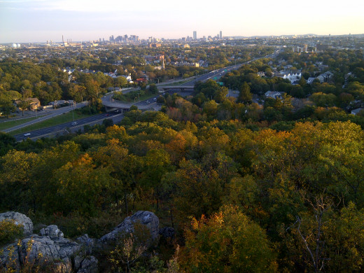
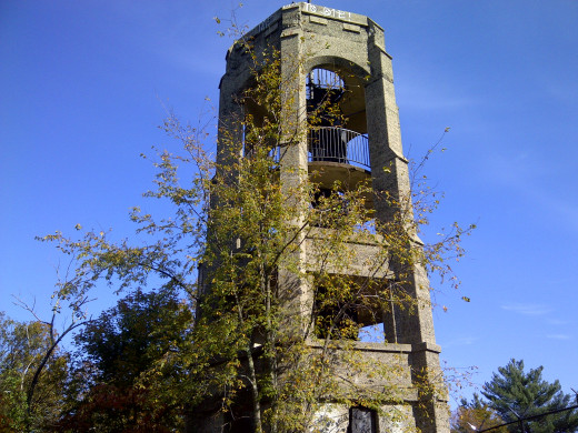
You will begin your hike on a trail referred to as Chandler Road on Google Maps, but you should soon see the white blazes of the Skyline Trail. Go south. This trail is easy to follow as long as you keep looking for the white blazes. At one point you may notice a trail crosses or even joins yours. If it featuring blue blazes, this is the Cross Fells Trail, which intersects the entire park. You want to stay on the white-blazed trail heading south, and eventually you will reach Wright's Tower atop Pine Hill, where you will be rewarded with breath-taking views of the Boston Skyline.
From here, follow the white blazes to the west and then north as the Skyline Trail wraps around three reservoirs. Don't bother trying to get close to the shoreline here as these are local water sources guarded by high fences on all sides. You will eventually be walking close to one of them - the North Reservoir - as you hook to the right just beyond it at Money Hill, heading toward Bear Hill. This will take you to the northeastern part of the western Fells. When you find the Bear Hill Cut is worth it to take a quick side trip to Bear Hill Tower - just follow the signed path to the tower and return to the Skyline Trail the way you came.
The Skyline Trail continues from here to the south, and eventually you will end up form whence you came. This is a 7-mile hike that is fairly strenuous because of all of the ups and downs, and it is longer though not quite as strenuous as the Rock Circuit Trail described above.
NOTE: The Skyline Trail can be joined with the Rock Circuit Trail for a 10-mile hike via the Cross Fells Trail, crossing Fellsway West and Wright's Park heading toward the Flynn Rink parking area and then across Woodland Road.
Skyline Trail - Blue Hills
QUICK STATS: 10 mi (16 km), 2,500 ft (762 m) elev gain/loss
The Blue Hills Skyline Trail is a 10-mile through hike that requires special arrangements for a pick-up up at one end, but it's totally worth the extra effort! Extreme hikers could theoretically turn this into a 20-mile day hike. For the rest of us, it is recommended that you park at the Shea Rink trailhead at 651 Willard Street in Quincy and arrange for a pick-up or drop a second car at reservation headquarters, 840 Hillside Street in Milton.
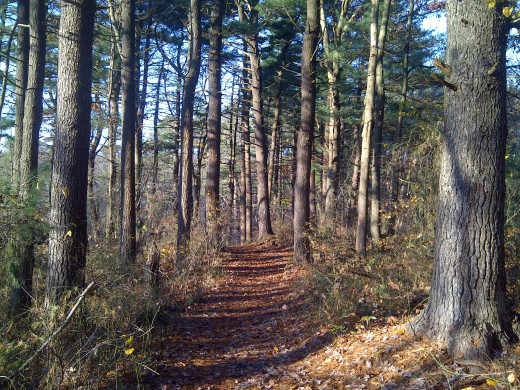
Start this moderate to strenuous hike from the trailhead at the south end of the Shea Rink and follow the blue blazes to make your way along the entirety of the Skyline Trail. The only place where it is difficult to find the trail is about a half mile into the hike just after you cross Wampatuck Road. After crossing you will be on a fire road. You won't say on this for long, so keep your eyes peeled for the turnoff to the left. Once you do, begin your ascent of Rattlesnake Hill, the first of the more than 10 hills you will climb today, and the rest is easy to follow.
The hike I recommend is a lollipop loop with a very long stem - that is you will hike along the Skyline Trail for a full nine miles to Great Blue Hill and then turn back on the Skyline Trail's south branch to make a loop back to a point on the "stem" where you have already passed by, at the reservation headquarters. This is good news, because there are toilets and water here, which makes an otherwise difficult hike a bit more comfortable to do.
For more a more descriptive review of this hike check out the blog HikeyHikey!
Don't forget to take along a map!
Both the Middlesex Fells Reservation and Blue Hills Reservation provide free maps to help hikers find their way while exploring the wilds just north and south of Boston.
Click here for a map of the Middlessex Fells Reservation's Skyline and Rock Circuit trails, provided by the Friends of the Fells.
Click here for a map of the Blue Hills Reservation Skyline Trail, provided by the Massachusetts Department of Conservation and Recreation.
NOTE: For more great hikes around Boston and elsewhere, check out the blog HikeyHikey!
About the author
Brian Schwarz is an award-winning journalist whose career was derailed by health-related complications caused by super obesity. Having fought his way back to health, losing 165 pounds in the process of what he refers to as his "fit life journey", Brian now lives life to the fullest. An activator by nature, Brian is on a mission to help others live their fullest lives. Follow him on Twitter @MyFitLife2Day and find his splash page at About.Me.


