L'Ampolla Spain Travel Destinations - Beach Vacation
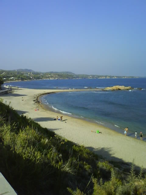
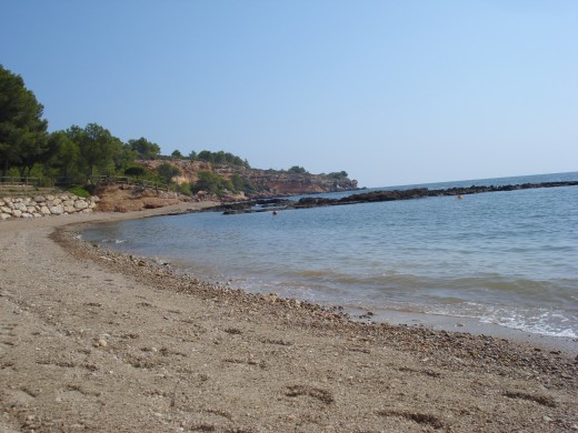
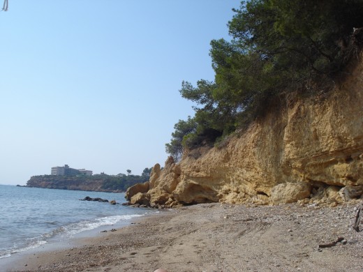
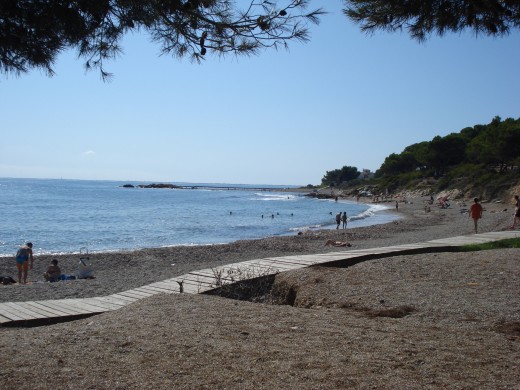
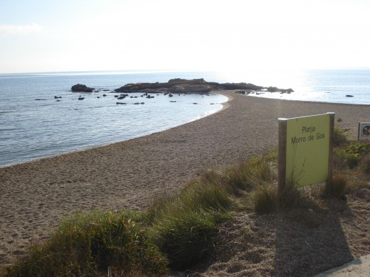
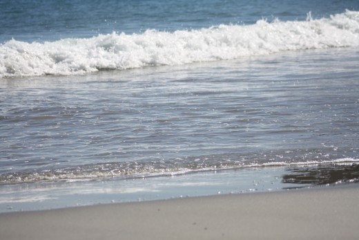
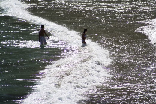
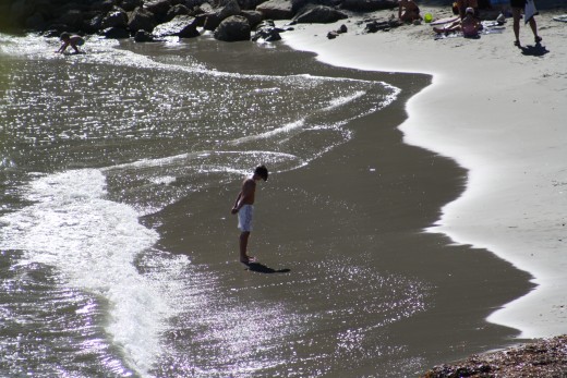
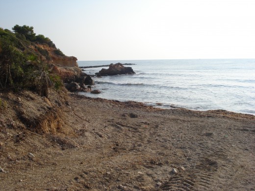
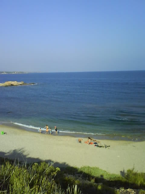
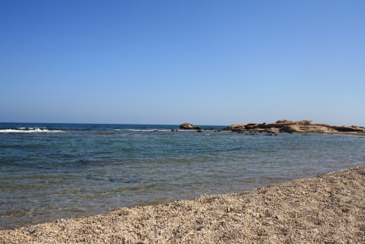
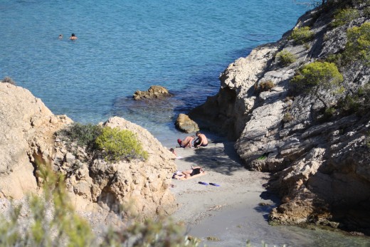
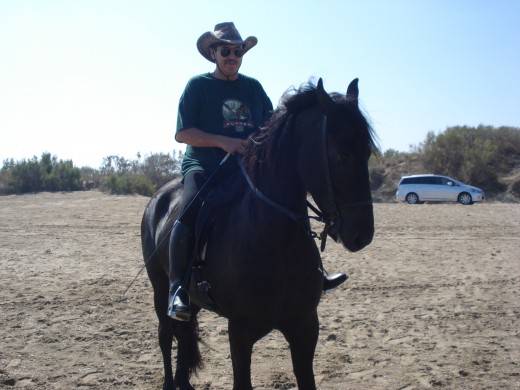
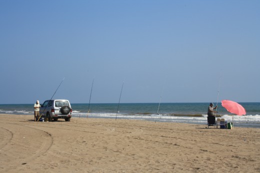
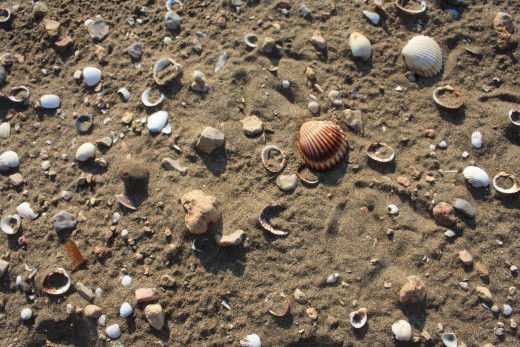
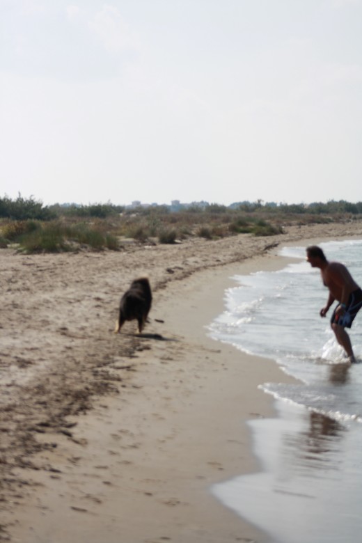
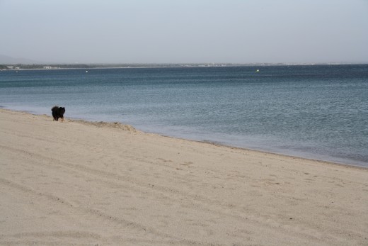
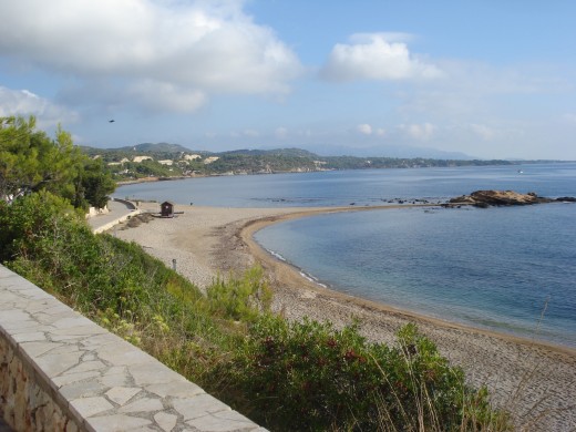
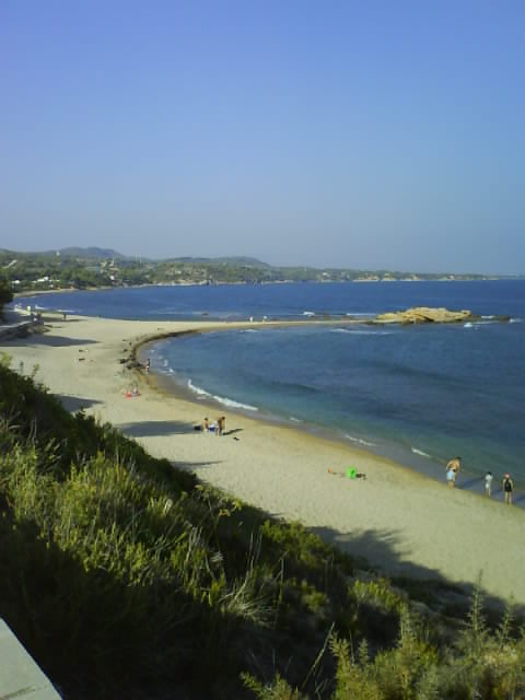
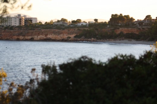
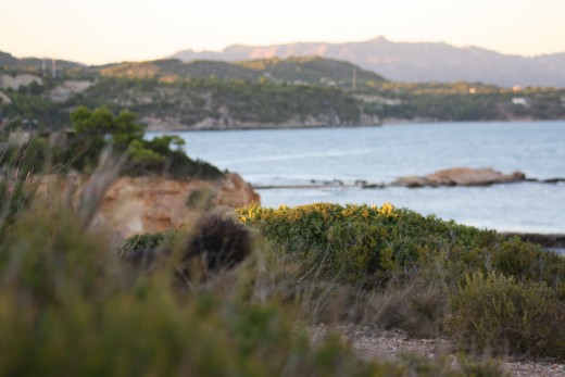
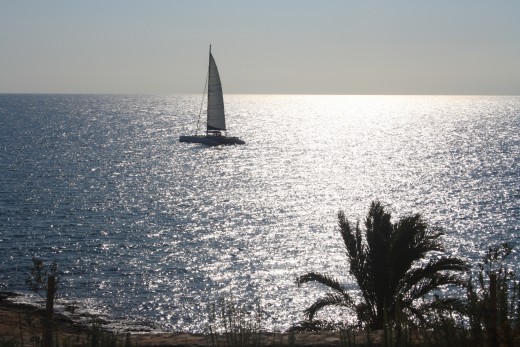
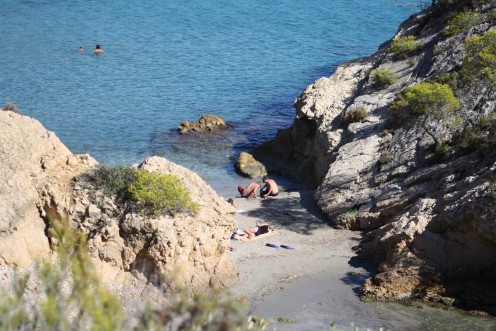
L'Ampolla, Spain - Beaches, Coves
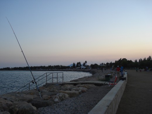
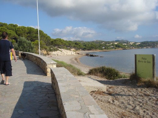
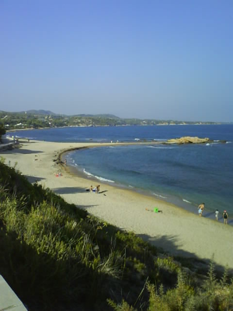
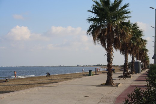
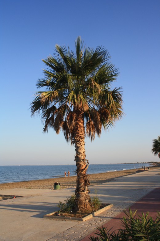
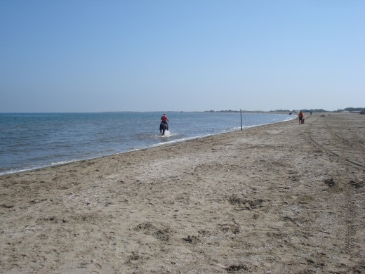
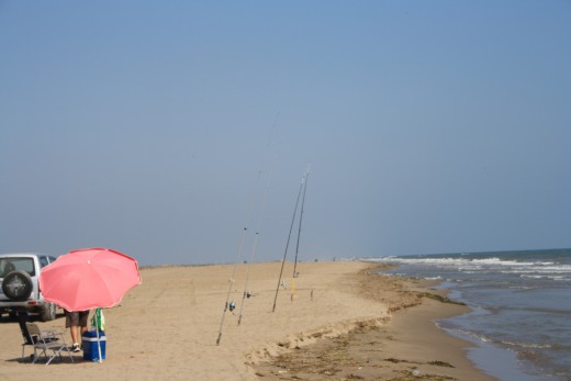
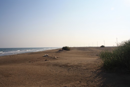
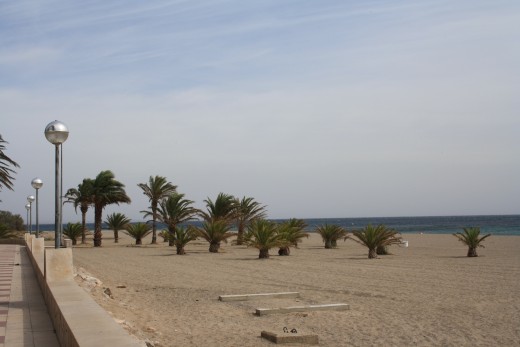
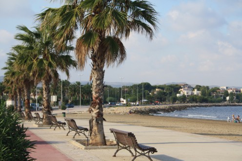
L'Ampolla, Spain - Beach Prominade
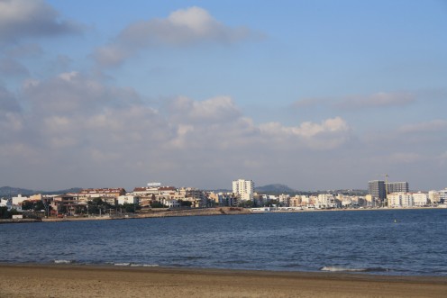
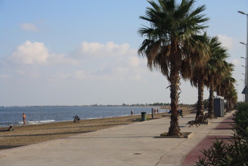
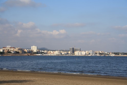
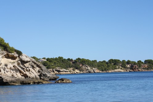
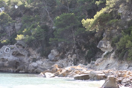
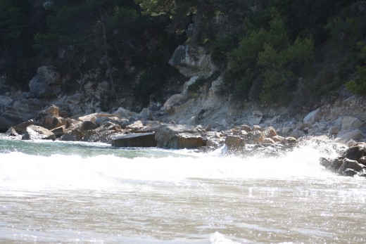
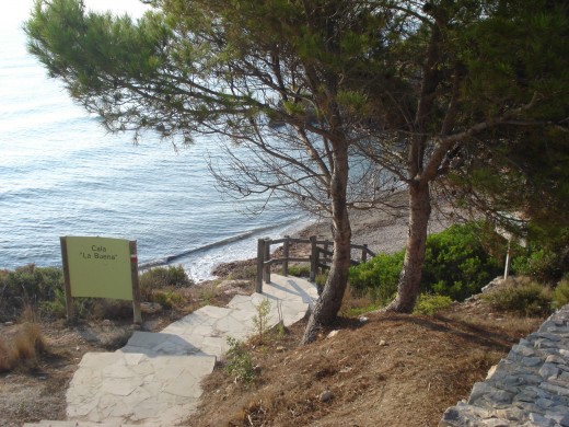
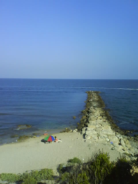
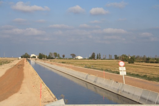
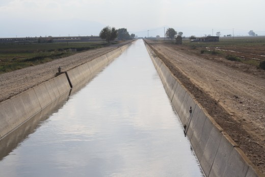
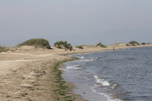
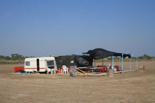
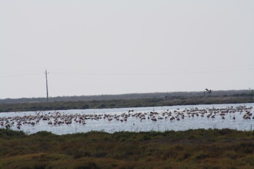
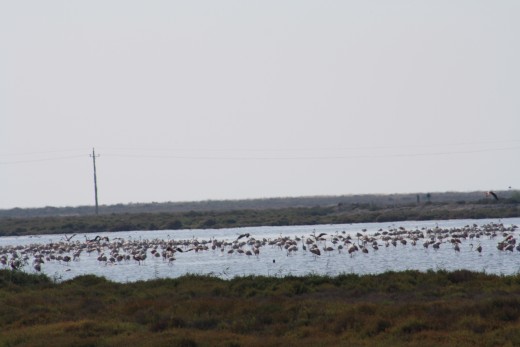
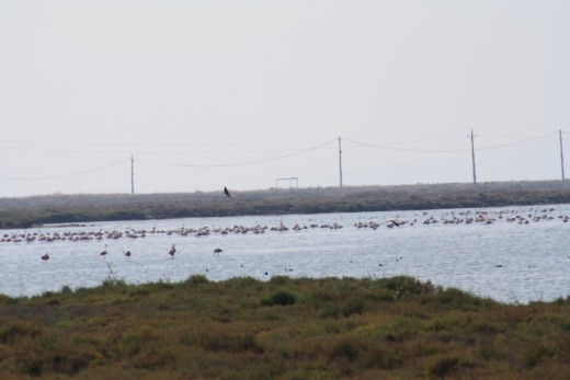
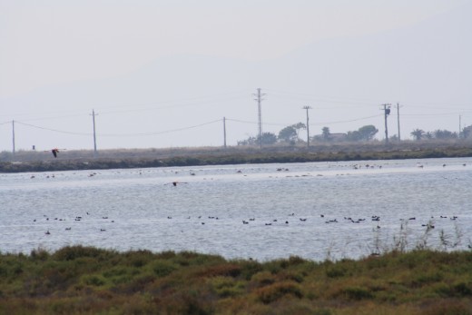
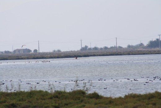
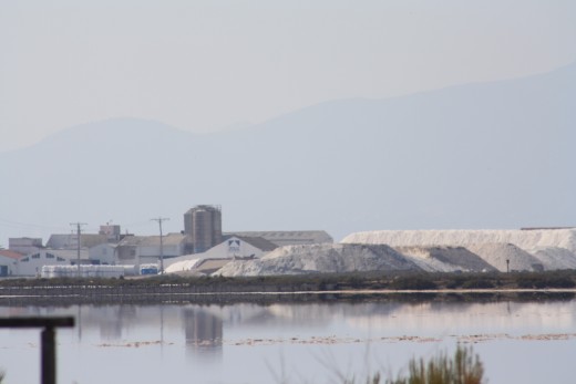
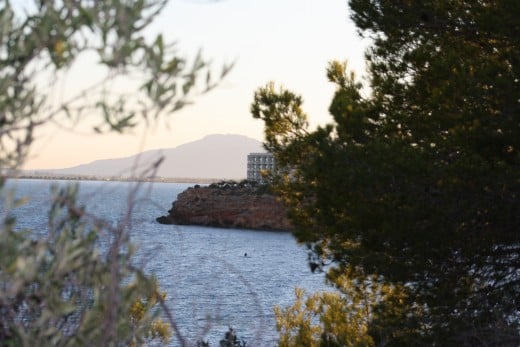
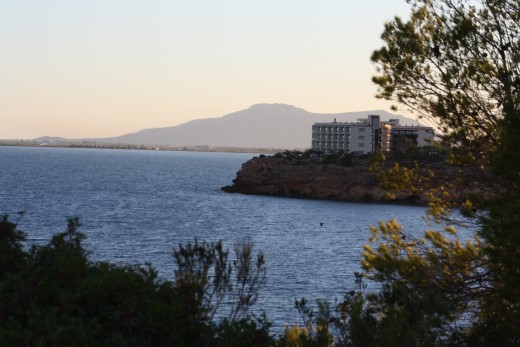
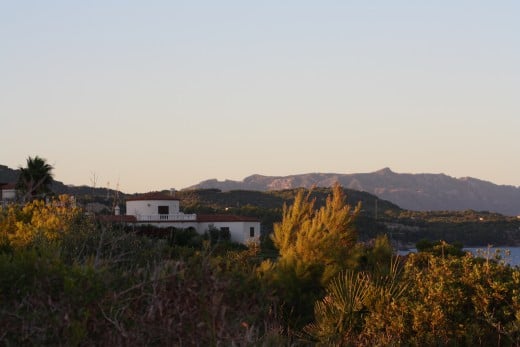
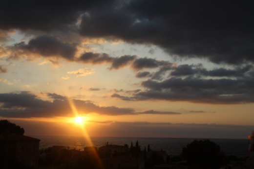
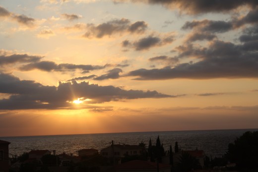
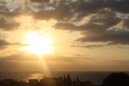
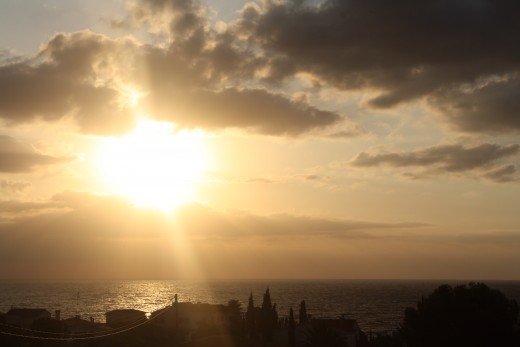
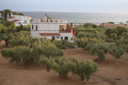
L'Ampolla - Great views of the Delta
L'Ampolla is located in the province of Tarragona, northeastern Spain. It is located in the comarca of Baix Ebre, at the northern end of the Ebro Delta.
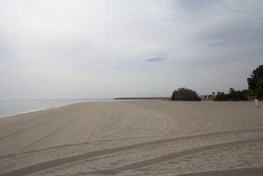
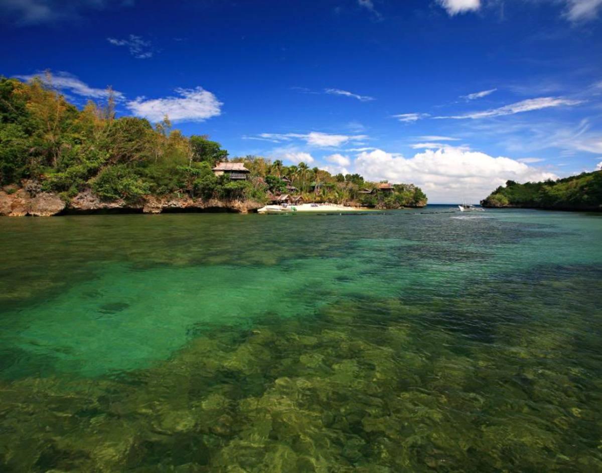
The name of L'Ampolla comes from the form of a former estuary of the Ebro. The place is outstanding for its sand and pebble beaches and coves that bring together landscapes of great natural beauty. L'Ampolla includes some of the best-preserved coastal Catalonia and many are conservation areas.
L'Ampolla was originally a part of the community Perello. In 1989, she has built up her own after long wrangling with Perello. Once a small fishing village is today a very innovative L'Ampolla village. An enormous upswing caused the motorway end of 2001. Remarkable are the always kept clean streets and pretty houses. But for a long time, L'Ampolla is for Swiss people Swiss a pleasant place for summer vacation. Long gently sloping sandy beaches are a paradise for families with children. In recent years, more and more seniors have chosen the tranquil area for their retirement home. About half of the inhabitants are today (04/2008) foreigners, most of them Swiss, and recently more and more British and the Russians.
Municipality of L'Ampolla Basic Information
Autonomous Community: Catalonia
Province: Tarragona
Comarca of Baix Ebre
♁ coordinates 40 ° 45 'N, 0 ° 37' OKoordinaten: 40 ° 45 'N, 0 ° 37' E | |
Height: 8 msnm
Area: 35.7 km ²
Population: 3,342 (1 Nov 2011) [1]
Population density: 93,61 inhabitants / km ².
Community number (INE): 43906
Management
Official language: Castilian, Catalan
Data of the Generalitat: MuniCat
Seats in the municipal council municipal election in 2011
Website of the Municipality
L'Ampolla is a Catalan community.
The neighboring communities of L'Ampolla are L'Aldea, Limestone, Camarles Deltebre, Perello, L'Amettla de Mar and Sant Jaume d'Enveja. Barcelona and Valencia are less than two hours drive from L'Ampolla.
Visit My Hubs About Valencia & Barcelona - Places We Visited During Our Holiday in L'Ampolla
- Barcelona, Spain - Gaudi's Famous Architectural Works
Famous works of Antoni Gaudi, a great Catalonian artist. Some of his architectural works are listed in UNESCO World Heritage which are great creative contributions to the architectural development and building technology. - Barcelona, Spain - Magic Fountain of Montjuïc
Watching the fantastic colorful fountain show is an unforgetable experience one could feel a free relaxing mind and fullfill your fantasy admiring the contrast of light and color, hear the music and splashing of the fountains as it form several water - Barcelona is One of The Most Beutiful City Ever - Favourite Places in My List to Visit
Barcelona ist one of the most beautiful interesting city in the world. The most visited city with unique attractions and spectacles. Discover places you must visit in Barcelona by reading my hub. - Valencia, Spain
Top places to visit in Valencia, Spain with pictures you will adore.
Attractions of L'Ampolla, Spain
Click thumbnail to view full-size


Attractions of L'Ampolla
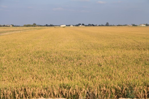
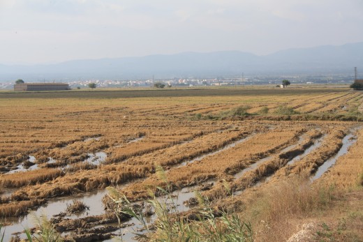
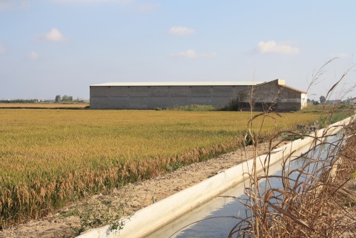
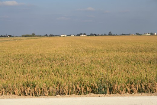
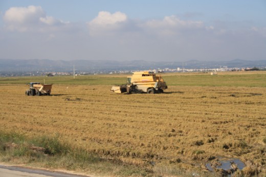
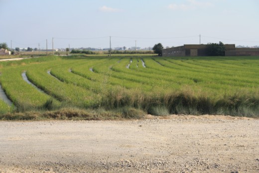
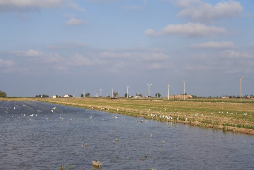
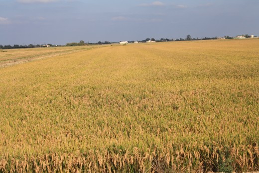
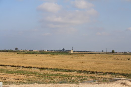
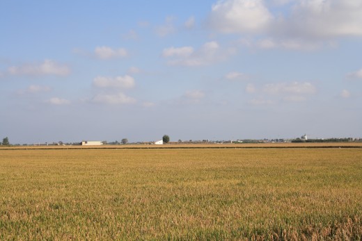
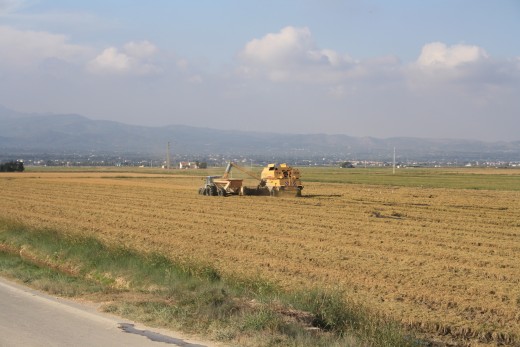
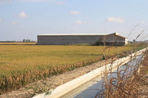
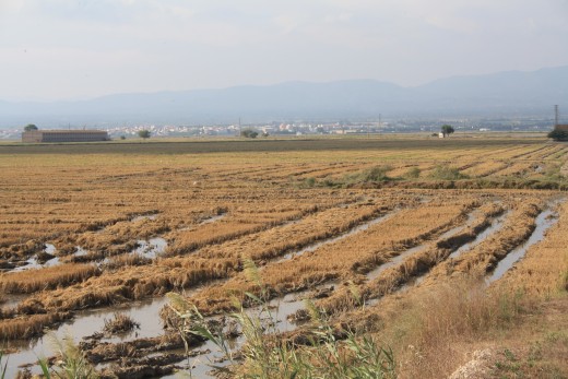
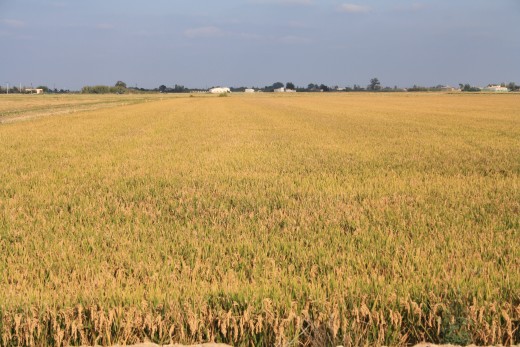
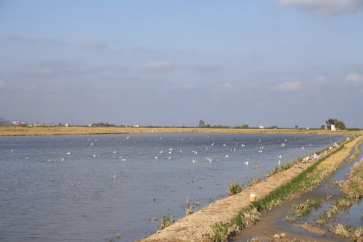
Rice fields,
Refuge for migratory birds in the Delta,
Bays and forts,
Natural lagoons as Basa de les Olle,
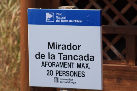
Unique viewpoints and hiking trails along the Delta
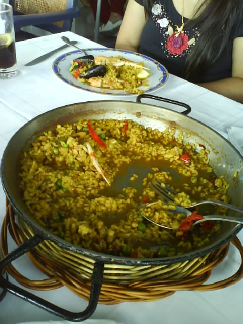
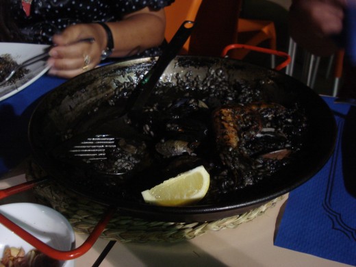
L'Ampolla Gastronomy and autochthonous products like oysters, mussels, clams and shrimp. the various rice dishes (black rice and arroz a banda) and the pasta dish fideuá.
Water sports such as sailing, windsurfing, water skiing and fishing.
L'Ampolla, Spain
Cap Roig, L'Ampolla, Spain
Click thumbnail to view full-size


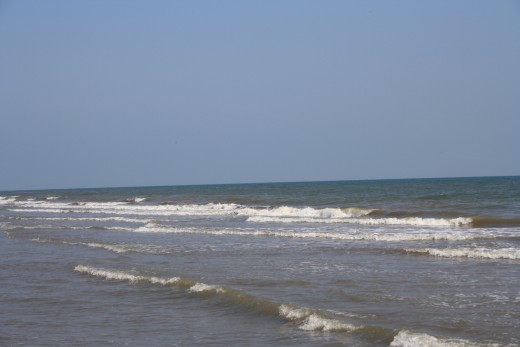
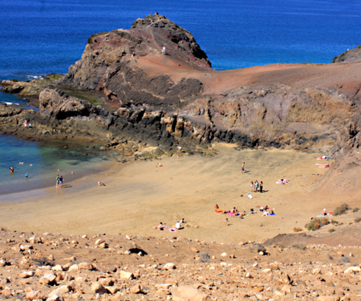
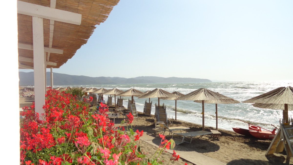
Beaches in L'Ampolla, Spain
Cap Roig. L '.Ampolla ..., L '. Tarragona. (Catalonia) A small, reclusive beach between two rocky outcrops. It is located in the settlement of the same name, a very quiet complex. With all possible offers, a kiosk with terrace, guard duty, pedal boat and beach chair rental, etc.
Dels Capellan. L '.Ampolla ..., L '. Tarragona. (Catalonia) The beauty of the environment is the main attraction. The beach of Playa dels Capellan 'is surrounded by low buildings, there are many pine trees in their gardens. It is bounded on the sides clear of small cliffs.
Les Avellanes. L '.Ampolla ..., L '. Tarragona. (Catalonia) It is one of the area's most popular and best equipped beaches. It is bordered by a beautiful beach lined with palm trees and has two volleyball nets. Awarded with the blue flag. Very tourist area ....
Playa del Arenal. L '.Ampolla ..., L '. Tarragona. (Catalonia) Generous beach near L'Ampolla. The beach has a covered area and a small longitudinal road where you can park. Its proximity to the Ebro Delta saved him from strong waves. It is a good place for surfing ....
Playa del Port. L '.Ampolla ..., L '. Tarragona. (Catalonia) The beach 'Port' is a small square at the port of L'Ampolla. On one side of the long pier is created. Behind the beach there is a green area with benches ....
Playa María. L '.Ampolla ..., L '. Tarragona. (Catalonia) This beach is far away from the city center and is fairly quiet. Playa María is flanked on both sides by rocky outcrops which reduce the force of the waves. The beach is located in the state of nature. The surrounding vegetation consists of pines and olive ...
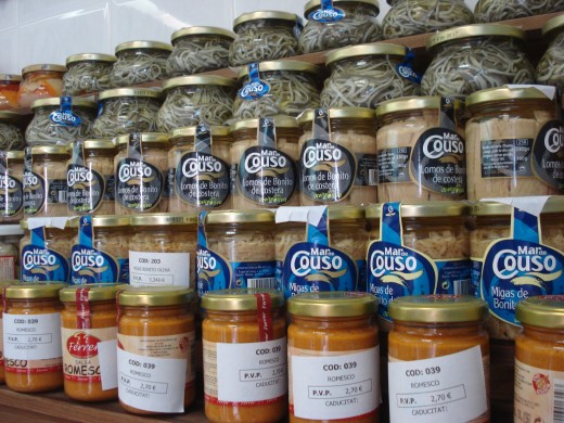
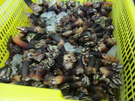
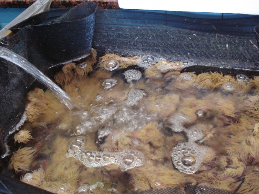
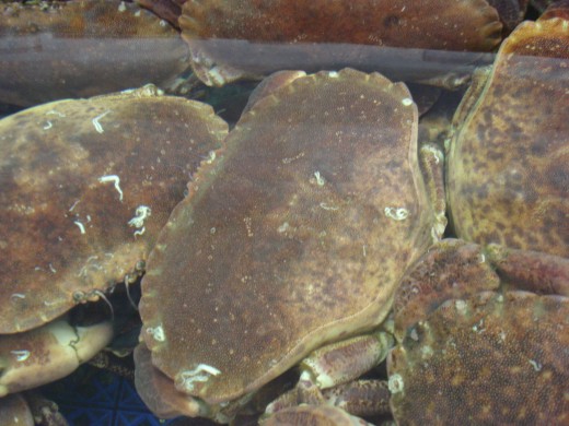
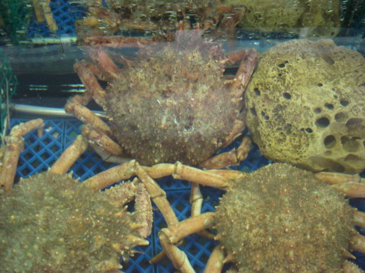
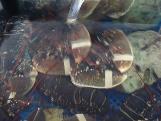
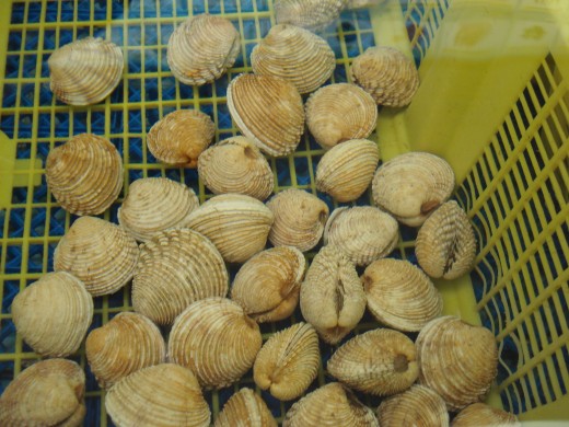
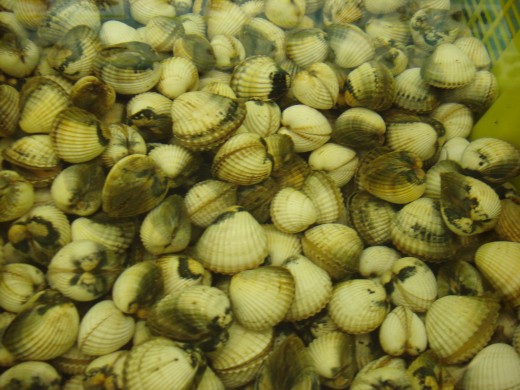
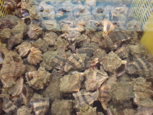
Seafood Market in L'Ampolla
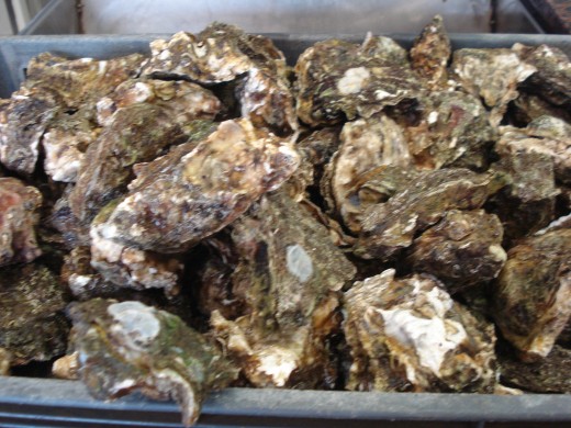
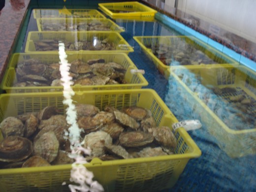
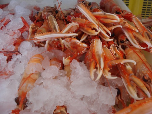
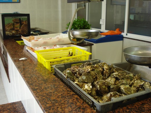
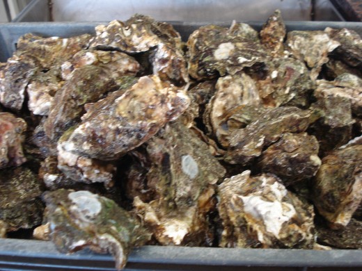
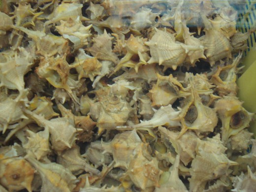
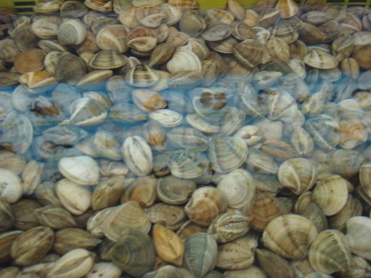
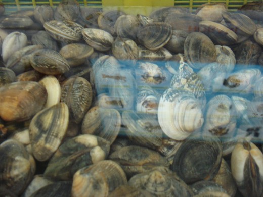
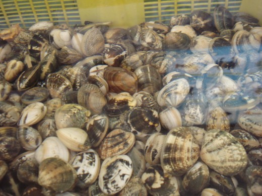
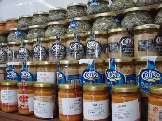
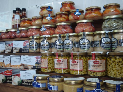
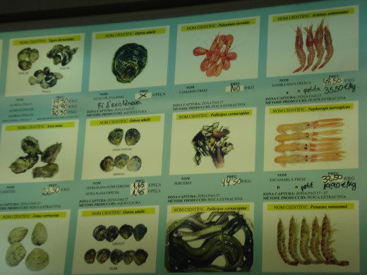
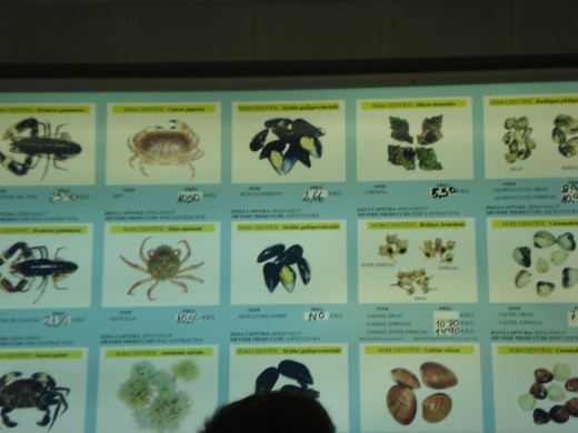
The Seafood Market has a variety to choose, Oyster, Mussels, Clams, Crab etc.
The Seafoods are very fresh, they remain in flowing seawater bad.
The market have different kinds of house made sauces, olive oil, venigar etc.
L'Ampolla, Spain - Seafood Market
Click thumbnail to view full-size


Rice Fields - L'Ampolla, Spain
Click thumbnail to view full-size


Walking & Hiking Trails in L'Ampolla, Tarragona Region
This trail leads from the fishing village of Cambrils on the Costa Dorada in the coastal town of L'Ampolla, located near the Ebro Delta Nature Park, which is the largest wetland in Catalonia and is characterized by large rice plantations and other fields.
The route leads through such interesting places as Pratdip, where you can visit a very beautiful medieval remains.
Details of the route
Start Cambrils
End: L'Ampolla
Difficulty: High
Distance (km): 98
Number of stages: 4
Cartography: I.G.N. 1:25.000, Baix Camp - Montsiá.
Distance
Principal:
Cambrils (Tarragona) - Mont-Roig - Pratdip - Vandellós - Tossa de l'Alzina - Perello - Campredó - L'Aldea (Tarragona).
Location
Tarragona
GR 175: Ruta del Císter (Cistercian Route) Back
The trail connects the Ruta del Císter three emblematic Cistercian monasteries of Catalonia Santa Creus, Poblet and Vallbona de les Monge, each in the regions l'Alt Camp, Conca de Barberá (both Tarragona) and Urgell (Lleida) lie.
However, the GR 175 to be not only a way between monasteries, but also offers the opportunity to see cultural, historical and scenic places of interest that give a good and rich impression of this part of Catalonia.
The route runs through plains, mountains and valleys of the above land. It goes up into the mountain ranges of Miramar, Muntanyes de Prades, Comaverd-Cogulló, Tallat and Forés, all of which belong to the Catalan coastal mountains. The road runs along the rivers and Gaià Francolí that arise in these mountains and empty into the Mediterranean near Tarragona. The geomorphological features of the site make it possible to see the blue sea that extends almost to the feet of hikers, and also the high, snow-capped peaks of the Pyrenees.
But perhaps the most notable feature of the route is very large for such a small area density of high-quality varieties of medieval history and architecture: the three impressive monasteries, the Romanesque church of Santa María in Sant Ramon del Pla, the fortified town Mont Blanc and the village Forés , which is like a guard this area high on a promontory.
The religious life is still present in two of the monasteries. It is a very rewarding experience for weary hikers to arrive at dusk to participate in the chants and prayers of the monks of Poblet and with whom to place the following day the nuns of Vallbona in contrast.
The Cistercian Route GR 175 is divided into three sections, each begins and ends at one of the monasteries. Consequently, there is a circular route, which is 104 km. In addition, there are five total of 26.5 km of variants to facilitate walking on the bike or on horseback.
1 Section: Santes Creus - Poblet. 35.5 km. 7 h 50 min.
2 Section: Poblet - Vallbona de les Monge. 23.55 km. 5 h 10 min.
3 Section: Vallbona de les Monge - Santes Creus. 43.3 km. 9 h 50 min.
The trail is suitable for all types of walkers, and cope despite the rocky sections and the total height difference without major difficulties. It is recommended to use the appropriate guide, to experience the best possible route.
Details of the route
Start: Santes Creus (Tarragona)
End: Santes Creus (Tarragona)
Difficulty: High
Distance (km): 104
Number of stages: 6
Cartography: I.C.C. 1:50.000, included in the guide.
Topographical Guide: La Ruta del Císter. VV.AA. Cossetània Edicions. Valls. Colección azimuth 5th Valls (Tarragona), 199 Includes map in scale 1:50,000.
Distance
Principal:
Santes Creus (Tarragona) - Pla de Santa Maria - Figuerola del Camp - Prenafeta - Montblanc - Poblet - l'Espluga de Francoli - Montblanquet - Vallbona de les Monge - Belltall - Forés - Rocafort de Queralt - Montbrió de la Marca - El Pont d'Armentera - Santes Creus (Tarragona).
Location
Tarragona
GR 172: Bellprat - Montserrat - La MussaraZurück
This route is a connection between the GR 7 and Montserrat, the symbol of the Catalan mountain hikers.
Bellprat and leads up the hill, on the walls of a few thousand years old, Castillo de Queralt are obtained. Along the crest of the Sierra de Miralles it comes to Santa Margarita de Montbui, a suburb of Igualada. From there the route goes according to Pobla de Claramunt. From there it follows a traditional pilgrimage to the villages of the county of Anoia to reach the mountain of Montserrat Can Massana. About Virgin pilgrimages to the monastery after it goes down Collbató and further on the southern slope in the old village Piera, in whose castle James I the Conqueror, for a time resided. About the Anoia River, the trail leads to San Joan de Medion. Then it goes up into the Sierra de Puigfred and further over the long ridges of the Cordillera, which ends in El Montagut. From there the path leads down to the Cistercian monastery of Santes Creus and follows the valley of the river Gaià down to El Catllar. It continues southwest towards Tarragona. After visiting the ruins of the Roman Tarraco, the track leads to the village Constanti, which owes its name to the fact that here Constantine the Younger, the son of Constantine the Great, was buried. Next it goes up to Reus, the birthplace of the architect Gaudí and then the millennial way of Prades to poke around La Mussara back on the GR 7th
Details of the route
Start: Bellprat
End: La Mussara
Difficulty: High
Distance (km): 189
Number of stages: 8
Cartography: I.C.C. 1:50.000, Anoia, Vallès Occidental, Alt Penedès, Alt Camp, Priory.
1998. Includes the trails GR 7, GR 171, GR 172 and GR 174
Distance
Principal:
Hut refugi La Mussara (Tarragona) - Castellvell - Reus - Constanti - Tarragona Catllar - Renau - Nulles - Puigpelat - Alió - Santes Creus - Montagut - Sant Joan de Mediona - El Badorc - Piera - Hostalets de Peirola - Peirola - Collbató - Monestir de Montserrat monastery - Santa Cecilia - Can Vella - La Pobla de Claramunt - Santa Margarida de Montbui - Miralles - Castell de Queralt-Bellprat (province of Barcelona).
Services on the route
Rail connection in La Pobla de Claramunt, Montserrat (cable car), Piera, Nulles, Tarragona, Reus. Bus terminal in La Pobla de Claramunt, Collbató, Piera, Mediona, Alió, Nulles Catllar, Tarragona, Constanti, Reus. Accommodation and catering options (3 km from Santa Margarita) in Igualada, La Pobla de Claramunt, Alto del Ordal, Monasterio de Montserrat, Piera, Sant Joan de Mediona, Santes Creus, Tarragona, Reus. Managed hut in Santa Cecilia de Montserrat Collbató and La Mussara. Food service also in Collbató, Alió, Nulles Catllar, Constanti, Castellvell.
Location
Tarragona
GR 65.5: Camino de Santiago (Way of St. James) Back
This long distance footpath is one of the three main routes that converged on the Camino de Santiago in the Middle Ages, who came from Paris and ushered in Roncesvalles to Spain.
There are two main routes that were opened by the clubs of Aragon and Navarre. The GR 65.3 leads the Puerto de Somport to Spain. Barcelona and Sant Cugat del Vallès, he eventually went on Montserrat, Igualada, Cervera, Lleida Tarrega and, in after Aragon and Zaragoza to Logroño, where he came across the main route of the Camino de Santiago, the present-day GR 65
The route GR 65.5 follows the old Roman road from Tarraco about Constanti after Caesar Augusta. In Constanti is the mausoleum of Centcelles. It is the grave of Constantine the Younger, son of the famous Roman emperor Constantine the Great. About La Selva Albiol and it goes up to Prades mountain range and then down to Ulldemolins, this portion coincides with the GR 171st Then the way to the crest of the Sierra la Llena leads upstairs where he follows up by Mequinenza. There, the route crosses the river Ebro, according to Aragon in, and continue to lead the land Monegros towards Zaragoza and Logroño. This section of Mequinenza to Logroño is still in the Aragonese Mountaineering Association in the planning phase.
Details of the route
Start: Tarragona
End: Mequinenza
Difficulty: High
Distance (km): 112
Number of stages: 4
Cartography: I.C.C. 1:50.000, Tarragonès, Priorat, Terra Alta.
Topographical Guide: Tarragona Mequinenza, 1993. Publisher Muntanya, S.L.
Distance
Principal:
Tarragona - Constanti - La Selva - L'Albiol - Prades - Ulldemolins - Bellaguarda - Granadella - Llardecans - Maials - Mequinenza.
Variant GR 65-5.1:
Ulldemolins - Sant Antoni - Hermitage Ermita de Sant beard Omen - Venta de Serra de la Llena.
Services on the route
Railway connection in Tarragona, bus terminal in Tarragona, Prades, Ulldemolins, Granadella Mequinenza. Accommodation in Tarragona, Prades, Ulldemonlins, Granadella Mequinenza. Catering facilities in all places offering accommodation as well as in La Selva, Albiol, Llardecans and Maials.
Location
Tarragona
Contact
Federació d'Entitats Excursionistes de Catalunya (Catalan mountain sports club). Barcelona
Tel: +34 93 412 07 77
Fax: +34 93 412 63 53
feec@feec.es
http://www.feec.org
GR 174: Transmitter del Priorat (Priorat Trail) Back
The Priory is a very mountainous country between the structured sedimentary Serra la Llena in the north and the existing limestone Vorküstenbergland in the south. Both mountain areas are relatively young and therefore very rugged, with areas that are hardly eroded.
In contrast, the majority of the county of - except the Montsant in the north and a few limestone regions in the extreme south - geologically very old (Paleozoic) and the millions of years during which these mountains were exposed to the weather, led to this gentle relief.
The bottom of the acreage of the priory consists largely of disintegrated slate (Licorela) and causes together with the particular climatic conditions that here one of the wines with the highest alcohol content is cultivated worldwide.
The graceful hills and deep valleys are well worth seeing especially for nature lovers. The GR 174, which was previously known as GR 7-4, is a compound of the GR 7 with its variant GR 7-1. He makes it possible to walk through almost all the villages of the Priory, through which the GR 7 does not. It begins near the Coll de la Teixeta and ends in the Serra del Montsant Major. In between, he performs Porrera, Falset Bellmunt, Lloar, Gratllops, Torroja, Vilella Alta, Conreria d'Escaladei, Poboleda and Cornudella.
Details of the route
Start: Coll de la Teixeta
End: albarca
Difficulty: High
Distance (km): 72
Number of stages: 4
Cartography: I.C.C. 1:50.000, No. 29 Priory.
Topographical Guide: eds of1998. Includes the trails GR 7, GR 171, GR 172 and GR 174
Distance
Principal:
Coll de la Teixeta (GR 7) (Tarragona) - Porrera - Falset - Bellmunt - Gratallops - Torroja - Vilella Alta - Poboleda - Cornudella - albarca (GR 171) (Tarragona).
Variant GR 174-1:
Cami dels Cartoixans - Gran del Montsant - clot del Meloner - Serra Major - Cami de Capçada.
Services on the route
In all the villages through which the trail, there are accommodation, refreshment and catering facilities.
Location
Tarragona
Some Other Beautiful Beaches in Catalunya, Spain
Click thumbnail to view full-size


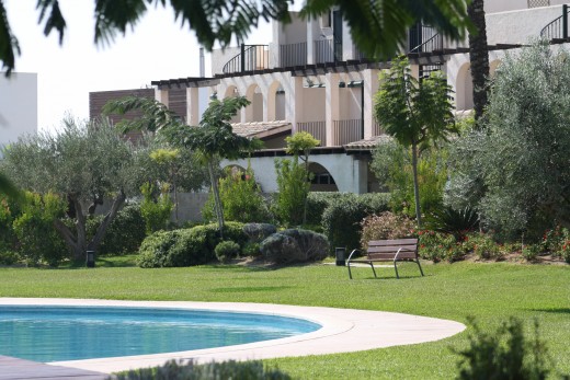
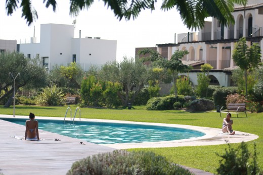
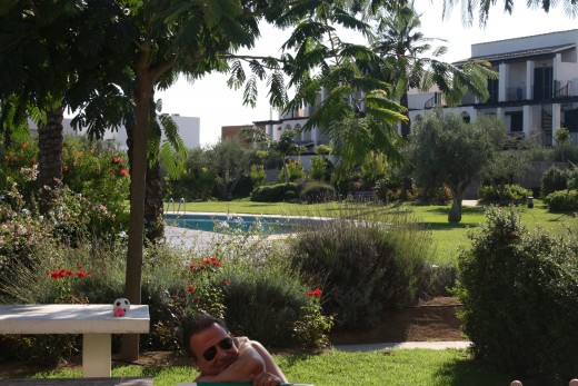
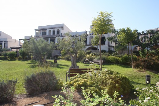
Les Oliveres Residence, El Perello, Spain
Click thumbnail to view full-size


Where To Stay in L'Ampolla
There are lots of front beach Appartments and hotels In L'Ampolla just direct the long sandy beach.
The prices are less expensive in autumn, less tourist in the beaches, peaceful and relaxing.
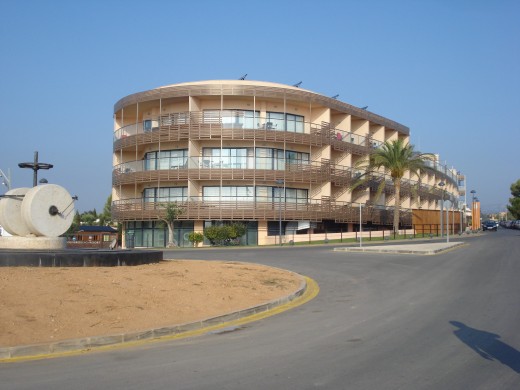
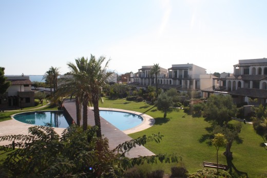
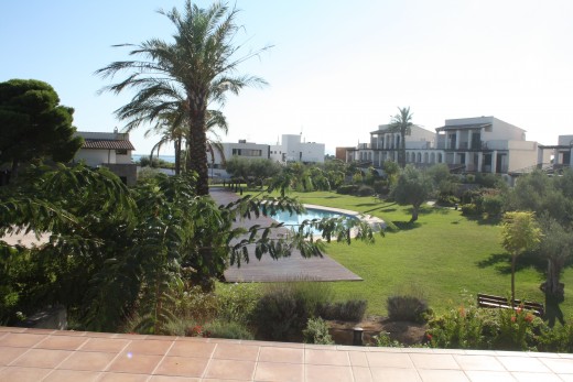
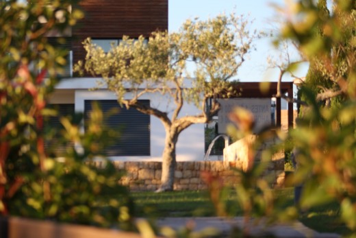
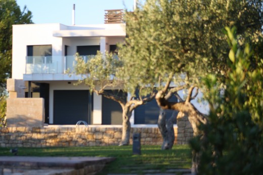
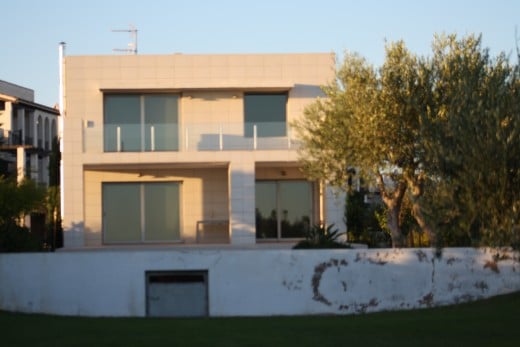
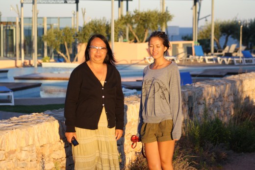
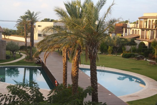
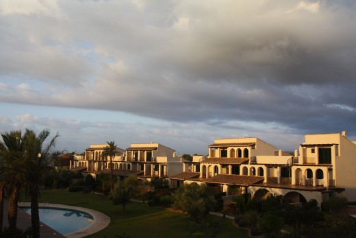
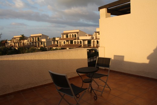
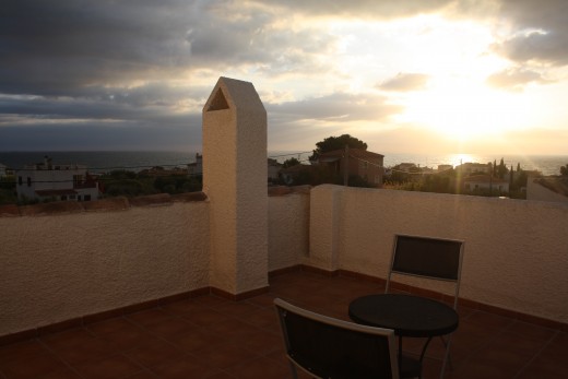
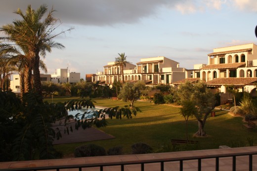
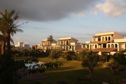
We stayed in Les Oliveres Residence, which is a part of the Hotel Les Oliveres Beach Resort & Spa 4 star complex in L'Perrelo, about 10 to 15 minutes auto ride from the center of L'Ampolla ,
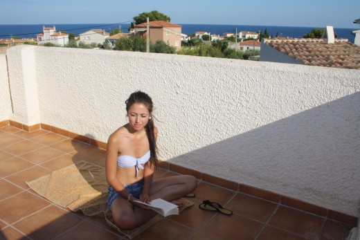
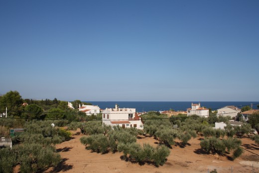
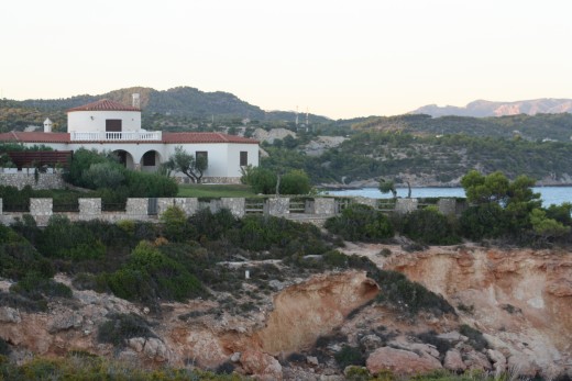
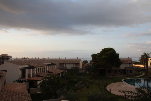
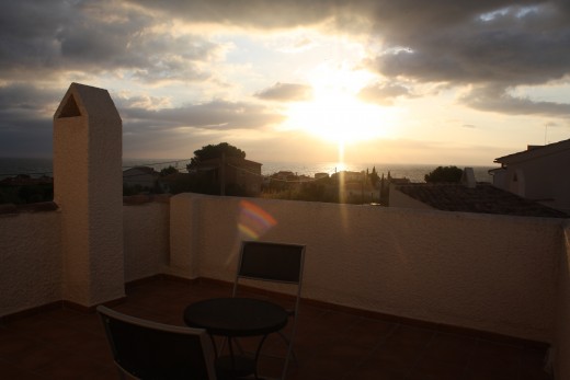
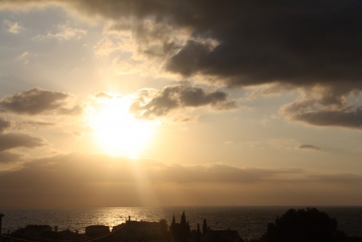
The Les Oliveres Residence has a beautiful seaview from the upper terrace and from the bedrooms in the second and third floor of the house which has a terrace.
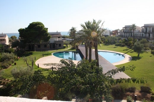
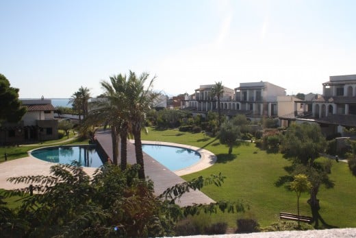
The Hotel Les Oliveres Beach Resort & Spa 4 star complex has many swimmingpools outdoor and indoor, gymnastic and training room, restaurant, boutique etc. Guest of the residence can avail the hotel facilities.
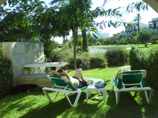
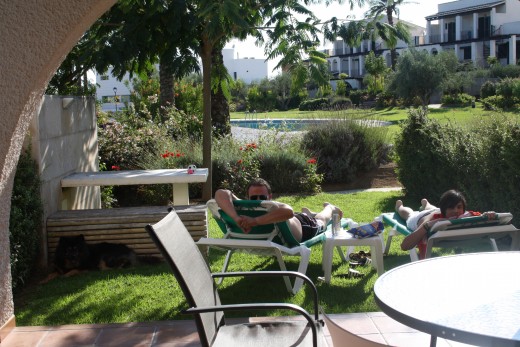
The circular surroundings and garden of the Hotel Les Oliveres Beach Resort & Spa 4 star complex allow the guest to room around with a fantastic ocean views.
It takes 5 minutes walk to reach the beach.
The place is a great starting point for hiking and walking along the trails and discover beautiful little coves.
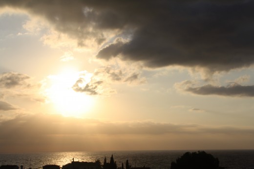
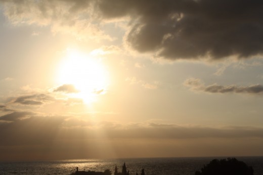
The Sunrise - L'Perrelo, L'Ampola, Spain
Click thumbnail to view full-size


