Travel North - 42: A Retrospective Drive North - Looking Back on Recent Past Trips Over Moors and Dales
Starting out, Tuesday, 14th July, '15
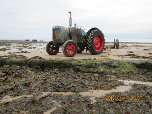
I'd arrived at Redcar on Monday afternoon, 13th July, '15
I never use the A1 from the London end. To do that I'd have to skirt North London by the North Circular (A406) with its many traffic lights almost to West London. It's quicker to head north for Epping on the A104, round through north Essex to Roydon and into Hertfordshire at Ware before taking the A10 to Royston, into Cambridgeshire through Bassingbourn and Papworth Everard on the A1198 amongst other smaller communities. A short way westward on the A14 near Huntingdon brings me onto the A1(M) past Peterborough where it becomes a dual carriageway as far as Doncaster where it becomes the A1(M) again. Onto the A64 east for York, around York to the A19 and then open countryside. Here and there are slow patches through Shipton and Thormanby before the roundabout at Thirsk leads to the faster dual carriageway A19 to the edge of Cleveland. At Ingleby Arncliffe I head away for Stokesley. This is now the edge of Teesside with views of Roseberry Topping near Great Ayton (see TN 4, 'Walking the Moor'). Off the roundabout at Stokesley for Ayton and Guisborough before taking the bypass around Guisborough for Redcar, following the signs on undulating roads across open country before coming to the outskirts of Redcar. It's a complicated route but it takes me northward more or less all the way, and closer to my destination.
Want to know why I take this route? Motorways are boring. I like to keep driving on them to a bare minimum, and only if I have to. You drive a and drive, stopping off at services for a coffee, then drive and drive again, overtaking slower traffic, weaving. Back roads are more interesting.
As it happened I reached Redcar at around 5pm, checked into the Claxton Hotel that faces the North Sea (my room overlooked a vacant lot, you can't have it all your own way), and took a 63 bus to Eston where I was to join family for a meal and drinks at the Stapylton (pron. 'Stapleton') Arms on the High Street opposite the old Smithy, now converted to a 'des.res' (estate agent talk for a desirable residence).. You can't push the boat out, knowing you have to stay sober for the drive back. I .can use my Freedom Pass on most bus services outside London, so why not let somebody else do the driving? Anyway I'd be driving for a long time on the next three days..
Grosmont Station, North Yorkshire Moors Railway
On Tuesday morning I left Redcar after breakfast and took the road past Kirkleatham, west on the A174 and up to Yearby and Dunsdale, past Guisborough and Charltons on the A171, up onto the Moors. Leaving the main road I took the road down to Egton and down the bank towards Grosmont (pron. 'Growmont'). Stopping by the roadside I sat down on a bench, took out an apple and knife to cut it with, and soaked up the scenery across Eskdale on a bright but partly cloudy.afternoon.
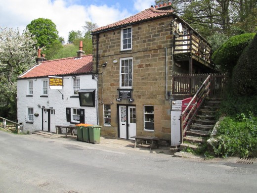
Down the winding 1 in 4 bank and into Grosmont (see TRAVEL NORTH - 13: :Preserved Railways for a fuller description), I parked in the overspill car park that was once the site of Grosmont's ironworks until before WWI. There are still signs of its industrial past, brick walls here and there... Over the footbridge that came from somewhere in the East Riding.
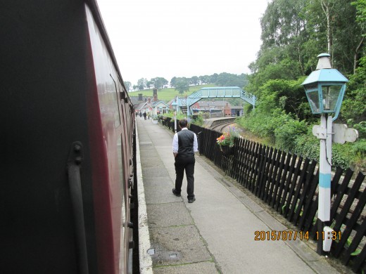
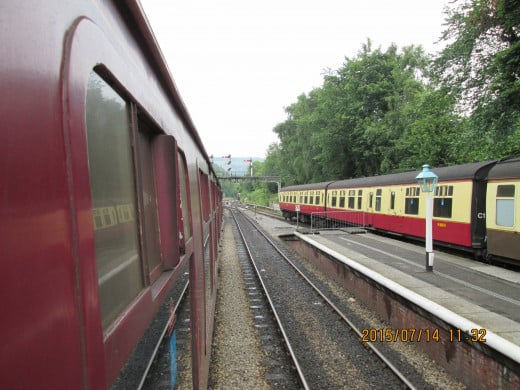
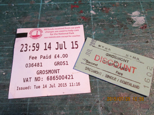
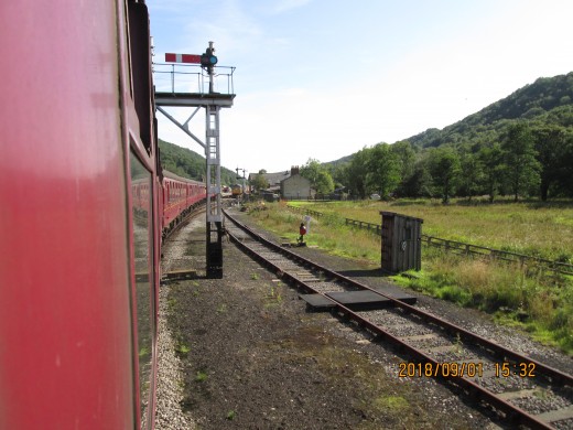
There was a train waiting at the platform at what was once the down side (the up platform for Pickering, Malton and York up to 1965 was opposite) behind a 'heritage diesel' in its two-tone green livery with 1960's numbering. I bought my discounted (pensioner's) ticket for Goathland, the next station on the line and sat down - not for long. I poked my head out of the door and took a couple of shots before sitting again on the springy, well upholstered seat. Standard class in modern trains tend to have harder seats for some reason, even on long-distance expresses. In case you wonder, older, slam-door stock had windows in the doors that could be pushed down after you pressed in the metal bar across the top of the glass.
Then we were off, through the short tunnel and out again into the daylight past Deviation Shed, the various workshops and steam loco coaling tower, past the cottages at Eskdale and up the 1 in 49 incline. Steep enough for a passenger train, the steepest was at Ravenscar on a 1 in 39 curve, through a tunnel dripping with water. The landowner refused to let the railway pass through a cutting on a wider, less steep course. His grand mansion overlooking the North Sea and Robin Hood's Bay is now a golfing hotel.
The train followed the winding single track past Darnholm with its sloping three arched bridge and eased into the platform at Goathland. Passengers for Goathland had been told to ride in the rear three carriages, as the front of the train would be well past the platform. I passed through the sprung moor gate to take a picture across the station and then crossed the footbridge here (another import from elsewhere in the county). A few more photographs in the station yard and then uphill to the edge of the village, taking the unmade road behind the Goathland Hydro Hotel to the road for Beck Hole and Darnholm.
The bank is steep (1 in 4 on a sharp bend) down to Beck Hole Village and the Birch Hall Inn. Time for some liquid refreshment, I told myself. It had started drizzling, so there was no better excuse to sit in the lounge with my pint of 'Beck Watter' (Beck Water) and pork pie. I also bought a bottle of it, great stuff, try it some time. It's the pub's own dark bitter brew).
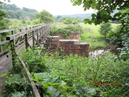
After a friendly chat with fellow walkers I set off again, this time for the footpath that was the course of the 1836 Whitby & Pickering Railway as built by George Stephenson for George Hudson - who had inherited property at Whitby from a rich uncle - to improve trade with the inland area around Pickering and Grosmont.
Going places... Goathland and Levisham
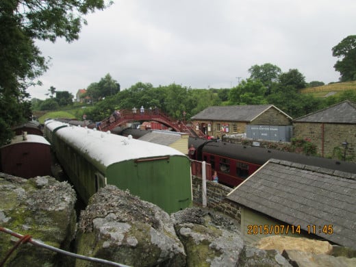
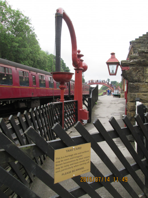
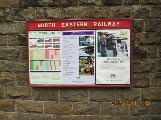
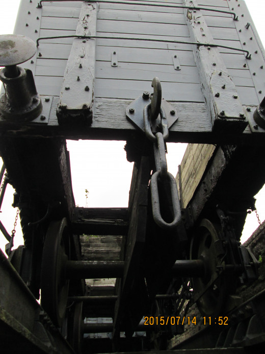
On your three mile walk back to Grosmont...
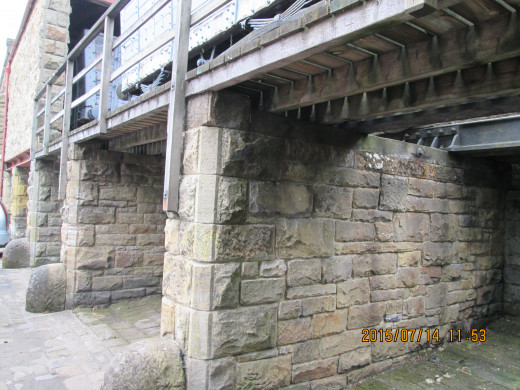
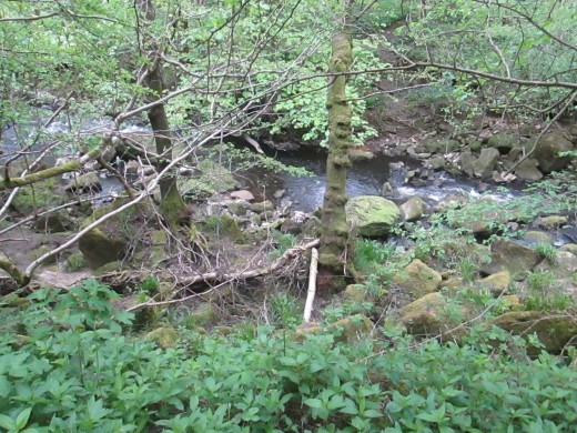
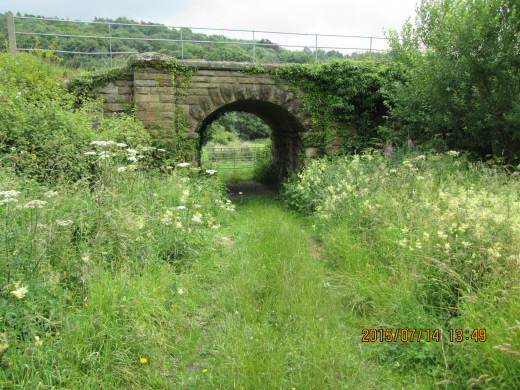
The route is mostly wooded with pasture here and there. Views can be had of the railway. You pass the site of the original Beck Hole Station, of which there is little sign any more aside from stones and overgrown low brick walls. A cottage sits beside the cinder track after you pass over several modified bridges. Stone bridge piers and abutments are all that is left.of these.
The route was abandoned when the Deviation was built, to allow steam locomotives to operate, albeit on the fairly steep incline. The reason for the Deviation was the incidence of accidents on the rope hauled incline at Beck Hole where the cable frayed and broke. Once was a fish train, where the wagons rolled all the way back to Grosmont and ended up in the Murk Esk (the tributary to the River Esk). The whole village stank of rotting fish until washed away weeks later. Another time passenger vehicles rolled back downhill and the loss of life stung the directors to action.
The village of Eskdale comes next, with its row of ironstone miners' cottages between the Deviation route and the original route. The footpath leaves the railway to climb over the hill that the single bore tunnel passes through beside the original (lower) tunnel. You pass the water tank on your way back down to the railway on the north side of the tunnel, alongside the old school that is now a tearoom and into the station past a row of what might have been railwaymen's cottages, over the level crossing. There's a goo pub here at the foot of the steep bank, in case you need another fortifying drink. I used the station cafeteria for a tea and biscuits before taking more pictures.
Back to the car and over the narrow bridge - but not up the bank to Egton this time. Turning right . took the narrow, winding road for Sleights, Whitby and Sandsend along the shore. Lythe Bank winds up another 1-in-4 to Lythe Village. You don't get much chance to look at the scenery. There's a road that leaves the coast road for the moors that I took and rejoined the A171, Lot's of green, small pockets of woodland and wide vistas. I pulled in a short tea break at a refreshment van near the top of Charltons Bank.before returning, fulfilled, to Redcar.
...Stop for refreshments and onto the original Whitby & Pickering Railway route between Grosmont and Goathland


Grosmont
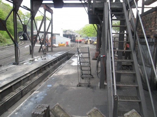
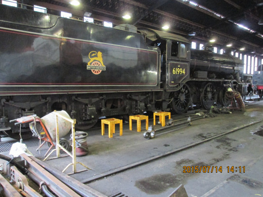
An hour or so here before going back to the car park. On achieving the footpath that leads from the station to Deviation Shed I backtracked to see what was happening at the shed. A small contribution in the honesty box and up the steps to the viewing platform and shop. Before I got very far here I descended the steps again to take a better shot of K4 2-6-0 'The Great Marquess', now in British Railways black mixed traffic livery with 'cycling lion' emblem (see picture). This engine partnered NELPG's K1 2-6-0 62005 around the coast (Bridlington-Scarborough-Whitby) and moors from York and back via Whitby and Pickering in January, 1965 before both branches closed to traffic at the end of the month. Viscount Garnock had bought 'Great Marquess' to save her from the cutter's torch and also bought the K1 for a boiler replacement. He'd had no need of the K1's boiler, so sold her to the North Eastern Locomotive Preservation Group then based at Thornaby (near Middlesbrough). 62005 has had a few decades of good running taking tours around the North East and 'doing the beat' between the Kyle of Lochalsh and Fort William.
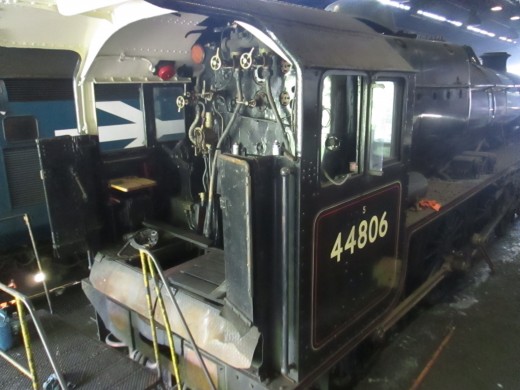
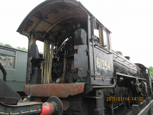
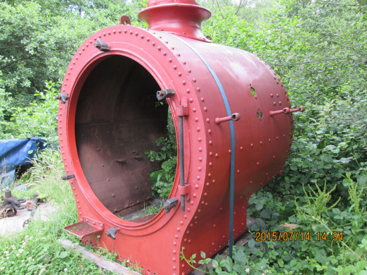
A quick look past the new accommodation shed at the row of locomotives and parts on the sidings took me to B1 4-6-0 61264 awaiting major restoration work. There's a collection box for her in the shed, so spare a few £££'s to get her back on the metals again, eh? The B1 Class designed by Edward Thompson in the mid-1940's was the LNER's answer to the LMS 'Black Five' 4-6-0, of which both classes numbered in their hundreds. Only two B1's went into preservation, whereas there are more than twice as many 'Black Fives'. There was one of these in the shed in front of the K4. Another one is on the West Highland line and will work passenger trains with 62005 through the summer.
Back to the station for a tea and biscuits, quick chat with fellow railway aficionados, a few pictures and off to the car park. I realised I'd have had more time - prime period parking wasn't until the school holidays began (I'd paid the £4 for three hours and left it in the windscreen without looking at the ticket - still I had places to go, people to see and it was mid-afternoon). .
Instead of driving back up the bank back to Egton I took the narrow winding road east to Sleights, skirted Whitby and down to the coast road around Sandsend, where James Cook lived (TN 3 'Tees to Esk'), up the steep (1-in-4) and winding Lythe Bank, along through Lythe village and onto another back road that connected with the A171 Guisborough road again. . .
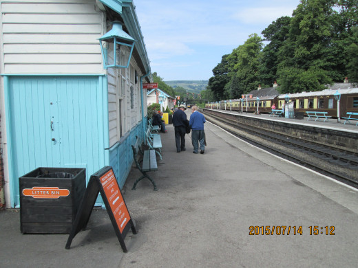
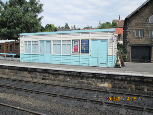
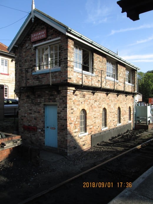
Grosmont loco shed (Deviation Junction) and station area, NYMR
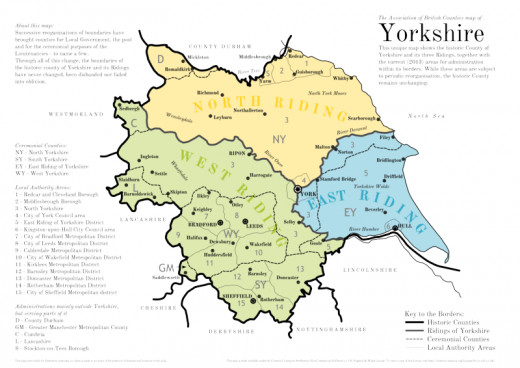
The historic boundaries within Yorkshire, the Ridings as they were to 1974
A short, half hour stop at the head of Charltons Bank enabled me to see to my personal needs, buy a cup of tea and cake from the mobile tea bar in the car park, work through my crossword and walk around again before heading back for Teesside again.
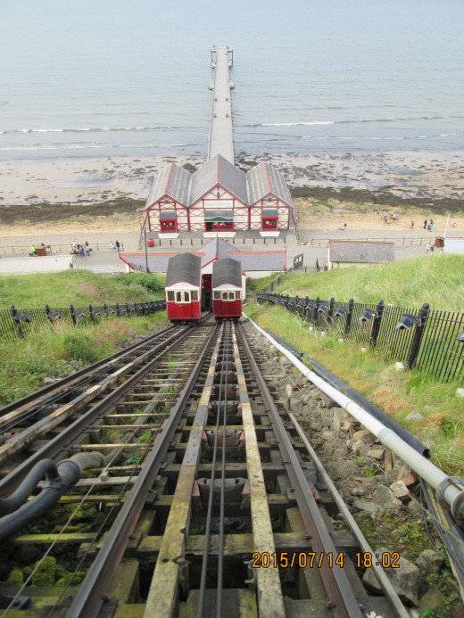
I had a meeting at Saltburn with Craig Hornby (TN 4 'Walking the Moor'), and one of my books to trade for one of his dvd's about local folk singer Vincent 'Vin' Garbutt. We had a long chat, about my books, his work. The subject of his big work on the Eston Ironstone miners cropped up, 'A Century In Stone', its success here and abroad in the USA, Canada and Australia, where many British mining families emigrated when the stone/lead/tin was worked out in their areas. In the time I waited to see him I took a walk around the front, at the head of the cliff, and took the picture of the cliff lift (below). Out of operating hours, both cars were 'parked' just below the halfway point, although it gave the impression they were crossing.
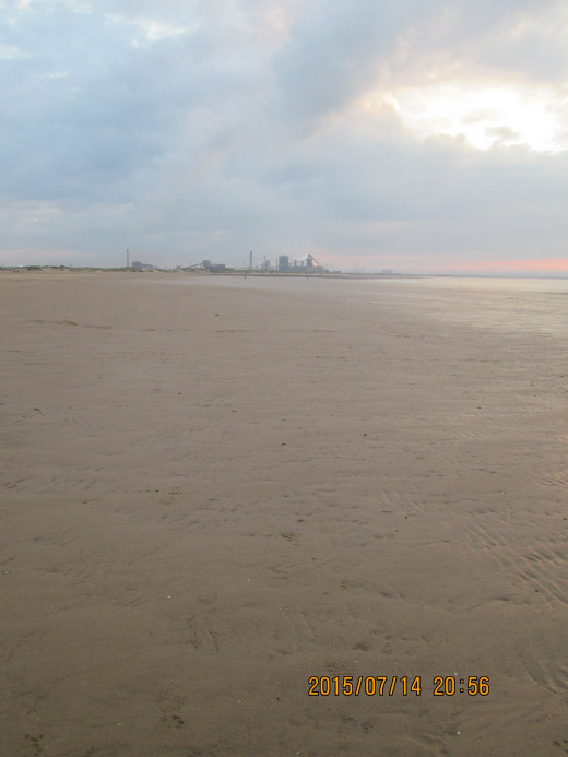
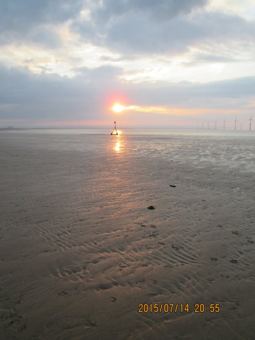
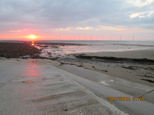
Then back to Redcar. There was still enough light for more pictures, so I strode out northward along the recently rebuilt Esplanade. Down to the beach and a walk around on damp sand to find the right angles for a shot of Warrenby's declining steel works and some sunset images. Warrenby, beyond Coatham from Redcar, is close to the South Gare (TN 11 'The Sailor's Trod') and a short distance from the Redcar steel plant inland to the west of here.
A short rest in my room at the Claxton and then down the High Street to The Plumb Line, the local Wetherspoon's pub. The Plumb Line refers to the measuring line on ships' hulls to mark safe loading.
Back to Teesside - Saltburn and Redcar
Bedale, Masham, Middleham, Hawes, Askrigg, Richmond
Wensleydale - Showing Bedale to Masham, Middleham, Hawes, Askrigg, Richmond via Castle Bolton and Swaledale
If it's Wednesday it's Wensleydale...
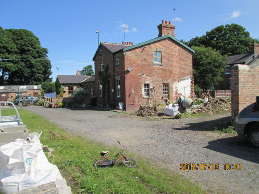
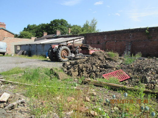
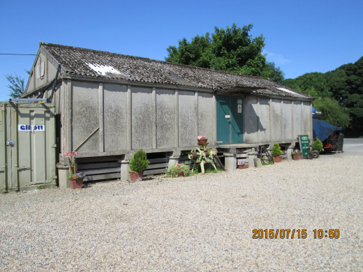
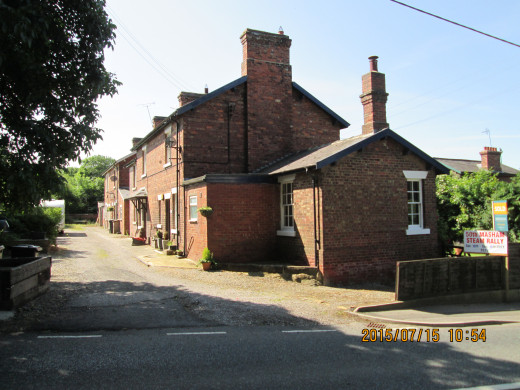
Wednesday was fine, just right for a drive west after breakfast, via Northallerton and Bedale into Wensleydale, better described as 'Yoredale' (the River Ure is pronounced 'yore'). First port of call was Masham ('Massam'). First I stopped off at the former railway station about a mile out of town near the banks of the Ure where it meanders west through low undulating hills to Ripon.
I'd meant to stop here several times before but never had the time. Some of the pictures I took were more suited to my research for scenic model-making, although I've included others here. Unfortunately the cafe wasn't open so as I was heading into Masham market anyway, to speak to someone, I had a coffee there instead. The man I spoke to, David Cooper had supplied me with audio cassettes in the past. He has a stall at the market for dvd's, cd's and books. We chatted for a while about my historical fiction writing and Hub-pages before I left him to have my coffee, an Americano, and do my crossword.. .
Wensleydale foray - Masham Station, 15th July, '15
Masham-Middleham-West Burton...
Leaving Masham I headed roughly west again for Middleham (TN 'Middleham'). This is a pleasant drive through rolling countryside, farms dotted about on the way into West Witton past the parish church. The village is set orderly in an almost straight line, two rows of cottages either side of a long village green. Right downhill, slow for the narrow bridge and sharp left again between high, dry stone walls to MiddIeham (TN 'Middleham').
There were no racehorses on the way to or from stables when I drove up past the market cross, turned right and down the road past a motor workshop where the same Series I Land Rover has stood outside since I first came this way (about sixteen years). There is a single lane bridge over the Ure with priority for Leyburn-bound traffic. I had to dodge the last car coming hurriedly through the other way. Avoiding Leyburn I took the road to Wensley. This is another picture postcard village, but I was on my way west again. I'll stop another time to take pictures, meanwhile I had a target. I wanted to get to West Burton and there was some 'plodder' who was obviously on holiday, admiring the view as he drove with his wife beside him. Luckily he went straight on when I turned off left for the West Burton and Kettlewell road. Mind you, you can't hurry this road, especially if you have tractors coming the other way with trailers or whatever hitched to the back. There are passing places but you don't always get to them at the right time.
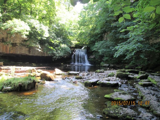
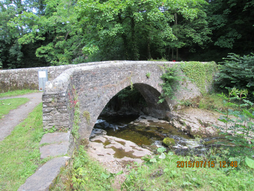
All the same West Burton was reached fairly quickly. I parked up along the green and put my walking boots on to do a bit of energetic walking before I went visiting..Each time I come here I go round the back of the village to look at the waterfall. The beck comes down from high up on the moors at the head of Bishopdale and the cascade can vary between a pathetic trickle and a deluge. After taking a photograph I crossed the narrow stone bridge and climbed the steps beyond to the steep footpath where I took more pictures. Then back down again to look in on the Nichols. Barrie was my geography and maths teacher at secondary school. His wife Shirley had an art school education and had skills in pottery (TN 5 'West from Bedale'). Daughter Sarah carries on the family business with an employee, their main line being cats in various poses and colours. They had a line in boars to celebrate Richard III, of which I bought one for my wife when we visited together some years ago. I've also bought her several cats of varying sizes and colours over the years. We had a long chat, I tasted some of Barrie's new venture in bread-making and discussed various things.
Then it was back on the road again. This time to the Victoria Arms at Worton. Due to a lack of transport I hadn't been for a couple of years. Although not altogether surprised, I was dismayed to hear from his younger son that landlord Ralph Daykin had died a couple of years ago. This son now has the license - and the headaches.
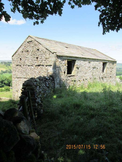
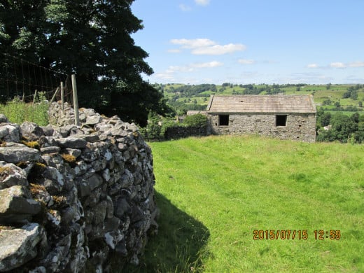
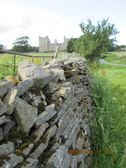
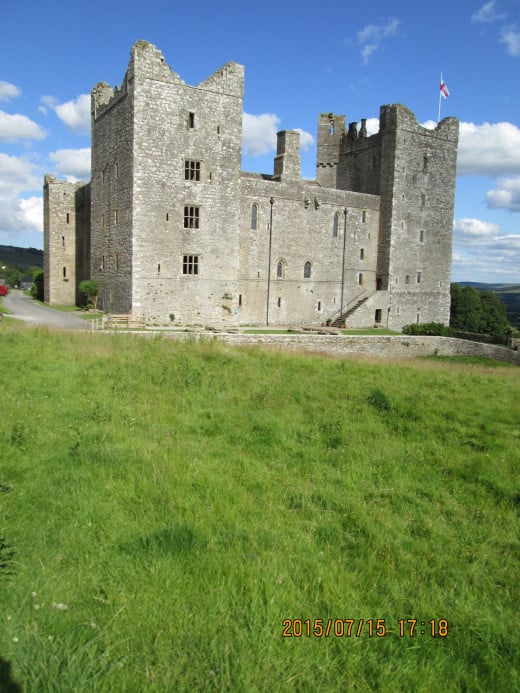
Wensleydale foray - West Burton, Castle Bolton
Worton to Hawes and Castle Bolton
Up the top end of Wensleydale to Hawes next. A visit to the Wensleydale Creamery was in order, although by the time I got there they were close to closing. The cafe was already readying for the end of a day's trading, so I went into the cheese shop to make a selection.
Back on the road again, this time back through Bainbridge and left towards Askrigg and Carperby where we stayed as a family in self-catering back in the 1990's. Through a peaceful Carperby to Castle Bolton, once owned by the Scrope family at the time Mary Stuart was held here. She had come south to seek safety from a turbulent Scotland but Elizabeth saw her being in England as a threat. She escaped with her servant, but when he asked for directions from a local man at nearby Leyburn Shawl they were recaptured and she was taken on to Fotheringhay Castle in the Midlands... The rest you probably know. The castle and village here are owned by the Bolton family now, who have restored part of the castle to live in and opened the rest to the public.
After taking pictures my next stop would be in lower Swaledale, at Richmond, after a drive over the top between the dales and stopping again near Reeth to take pictures..
Reeth to Richmond
Richmond...
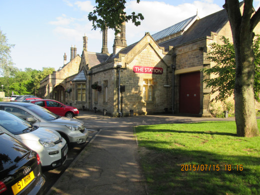
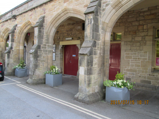
My next port of call, through Richmond this time was Richmond Station. Train services to here finished in 1966 with diesel multiple units fulfilling the duties of previous steam services in the last few years. A steam special hauled by NELPG's K1 62005 called on the branch in 1966, signalling the closure of passenger workings not just to Richmond but also to Catterick Bridge and the Catterick (Military) Camp offshoot of the branch.
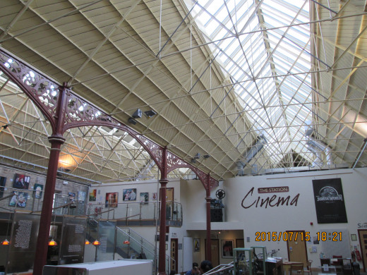
Goods services lasted another year or so longer and the station trainshed was taken over by a garden centre. Fast forward a few decades and the station became a leisure centre, with goods buildings, gas sub-station and coal depot being integrated into the overall layout and a new swimming pool added with cafeterias, cinema, health spa and enquiry office. I've included a couple of views of the complex here for your delectation and delight.
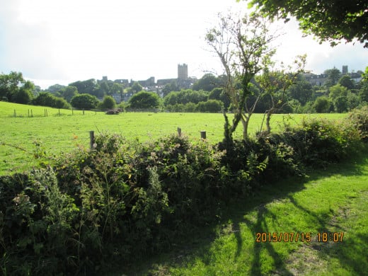
A last view of the town of Richmond was taken across the road from the station, looking across the meadow with the castle's square keep silhouetted against the early evening sky. I intend to spend more time in town again next time I'm here. The Green Howard's Museum (see TN 5: 'West from Bedale') in the market square merits another visit. Based in the church, the museum comprises three floors including a medal room with its several Victoria Crosses, gallantry and campaign medals that go back to the 17th Century when Monck's Regiment of Foot was formed and served in Sir John Churchill's (Marlborough's) campaign against the French in the Low Countries and upper Rhineland. The Buff Howards became the Coldstream Guards (the colours were those of the cuffs on the scarlet uniforms).
Then it was time to take the road back to Redcar via Brompton-on-Swale, Yarm, Marton and Nunthorpe. Hey-ho, back to 'the'Smoke' (euphemism used outside London for the capital) in the morning.
Kirkleatham Old Hall Museum Park, 16th July 2015.... and 2nd September, 2018
Craig Hornby, Pancrack Pictures
- PANCRACK TV
Feature-length films of North Eastern people, places and industrial history, 'A Century In Stone' and 'Vin Garbutt, Teesside Troubador' amongst others
One last stop...
Near Redcar before leaving the area. Kirkleatham Old Hall Museum was once a school on Sir William Turner's estate. Sir William Turner in the later 17th Century was a local boy, scion of the Turner family who owned land in the area. He became Lord Mayor of London at the time of the Plague in 1665, the year before the Great Fire of 1666, in which a large percentage of the population perished.
Within the museum itself is an eclectic collection of memorabilia and exhibits that chart the history of the Redcar ('Redekarre' = literally 'reed flatts', a marshy backwater of the North Riding that the fishing village of the same name backed onto. Redcar itself sat on a sand bar facing onto a rocky foreshore). Kirkleatham was originally known as 'West Lith' or Lythe, relating to Lythe on the coast near Whitby, and a staging point for monks on their way from Durham to Whitby Abbey.
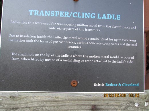
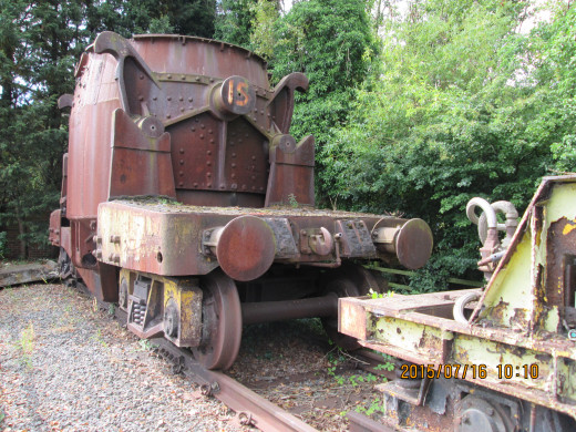
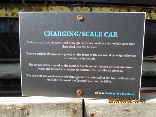
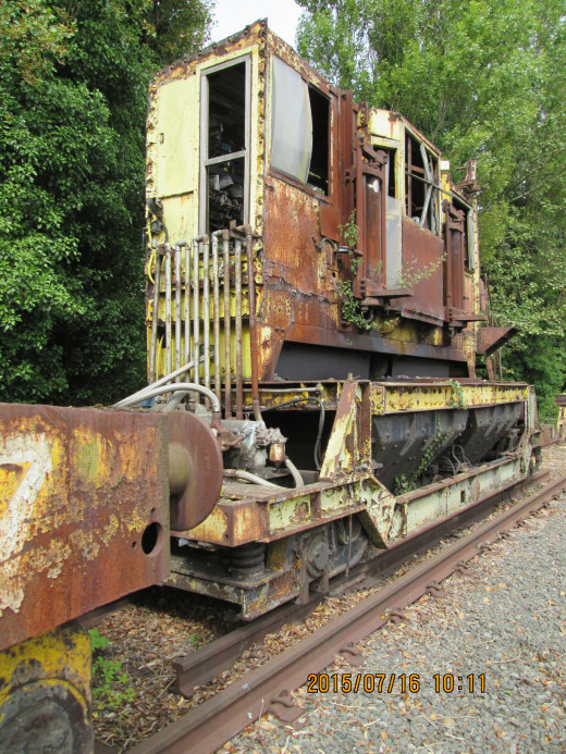
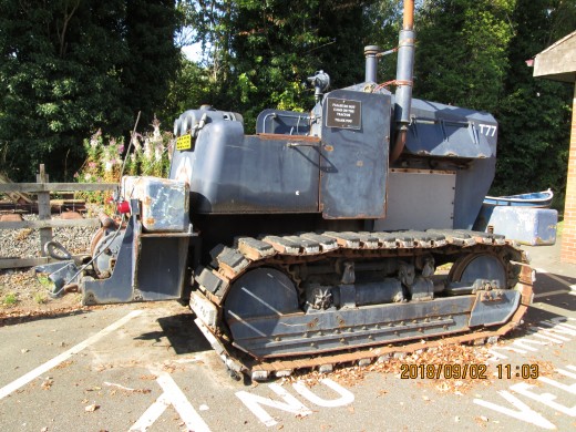
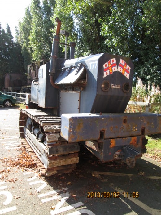
At Kirkleatham I enquired about one of the two industrial vehicles on show outside the museum. I knew one was a ladle wagon that took molten steel to be poured out into the formes on the floor of a steel mill. The other vehicle seen here was a 'charge car' that had two 'panniers' on either side for chemicals, lime and ore to convey to the Bessemer converters. Both vehicles belonged to the Dorman Long works at Grangetown and South Bank, that were formerly Bolckow Vaughan's and subsequently part of the nationalised British Steel Corporation's (BSc*) network that spanned Britain between Ravenscraig near Glasgow, Consett in County Durham and Port Talbot in Wales. The plant was largely stood down and production was moved to Lackenby and Redcar in he 70's and 80's. Cargo Fleet, another plant further west near Middlesbrough was shut down in the late 60's. You can see an account of steelmaking on Teesside in Craig Hornby's dvd 'A Century In Stone' that begins with the establishment of ironstone mining at Eston in particular and Cleveland in general. See above for a link to Pancrack Films.(see also TN 4: 'Walking the Moor')
[*As opposed to BSC = British Sugar Corporation].
© 2015 Alan R Lancaster

