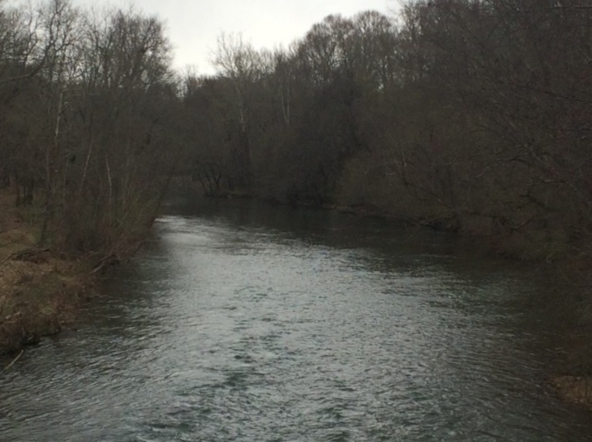
The Beauty of Northern Arizona
Places Famous and Obscure in Northern Arizona
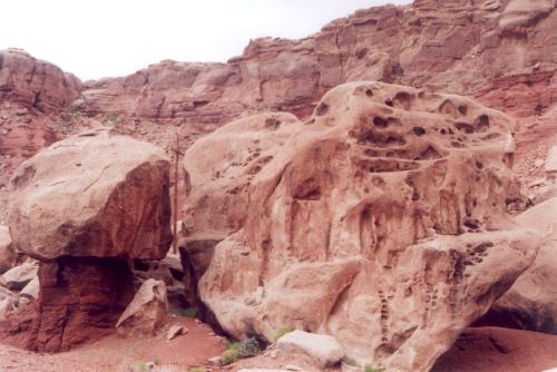
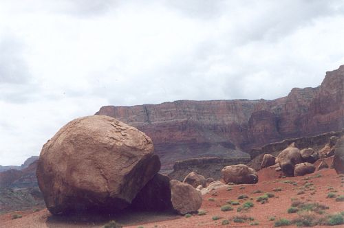
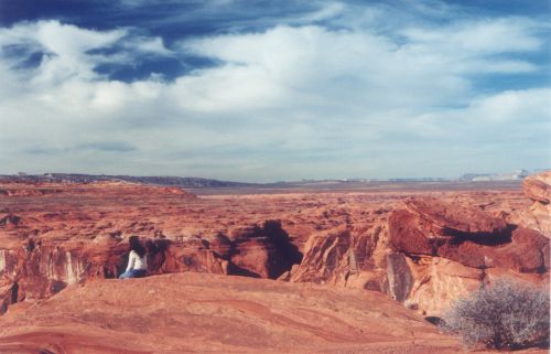
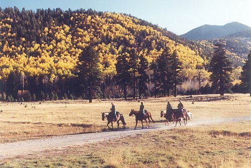
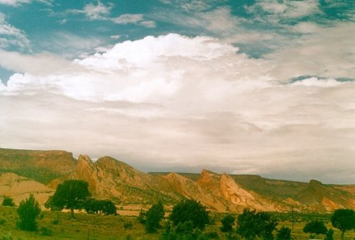
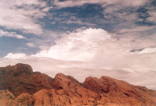
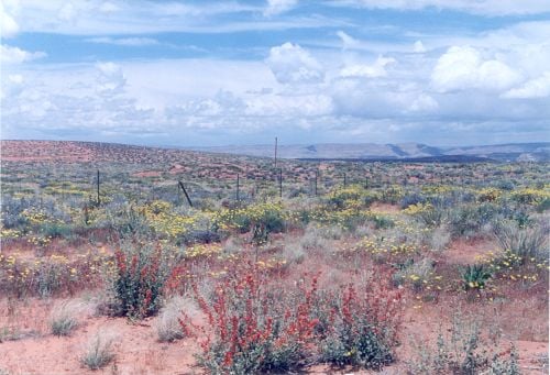
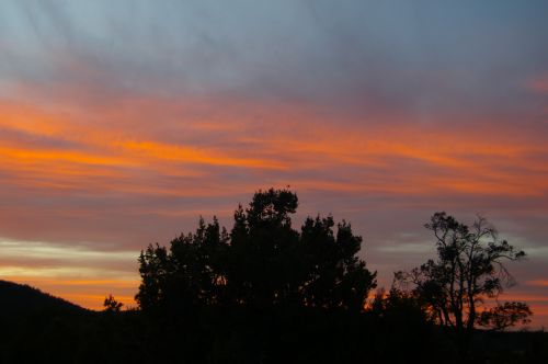
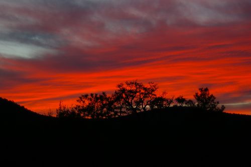
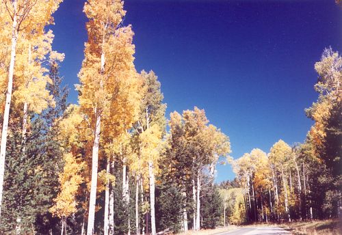
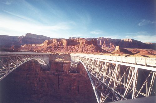
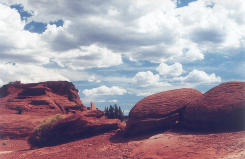
If I had the money, I'd rent a small place in Flagstaff and live there several months. There is so much beauty in northern Arizona, and this would give me leisurely access to all of it. Although I never had a lot of time in one place, most people don't ever get to visit these places at all, and for this reason, I share my photographs, so people can enjoy what I have seen.
Northern Arizona has many, many scenic places. My favorite is Antelope Canyon, but there are many others:
Grand Canyon
Monument Valley - yes, that is mostly in northern Arizona, though it is accessed from Utah
Painted Desert
Petrified Forest
Sunset Crater
and some lesser known places I will share.
When I find the photos, I will also show you Meteor Crater, Jerome, Montezuma's Castle, Montezuma's Well, and Tuzigoot Ruins. As you can see, I have spent many days in the area, and have much to share.
For the purpose of this lens, I will consider Prescott to be in the center of Arizona, so all the scenic places will be in Prescott or north of Prescott, as well as a few places slightly south. In addition to scenic places, I will show a few other features.
I hope you enjoy your visit!
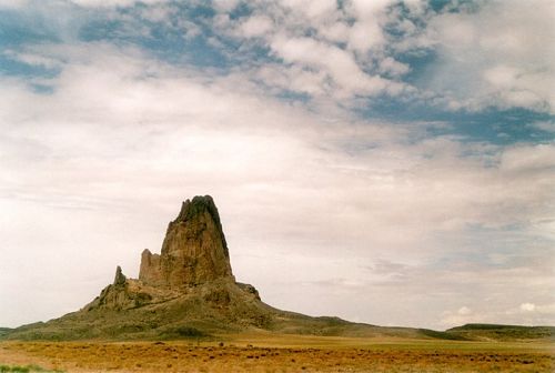
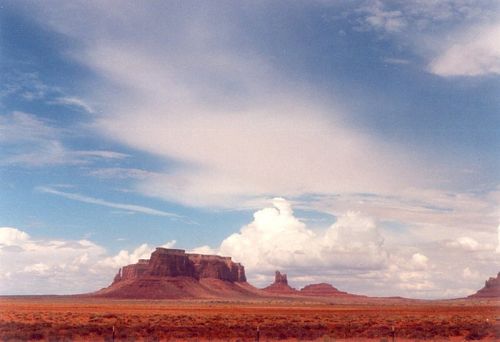
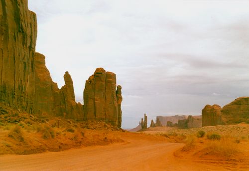
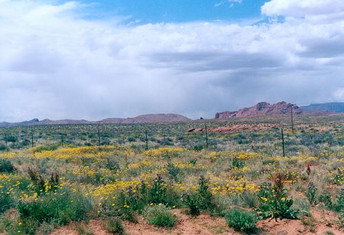
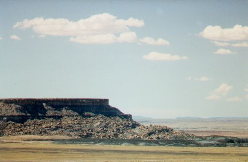
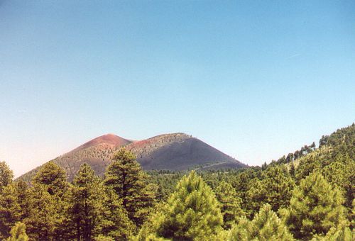
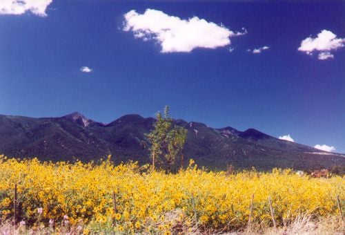
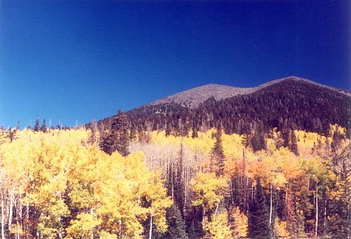
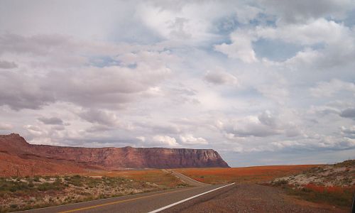
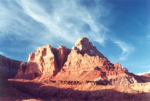
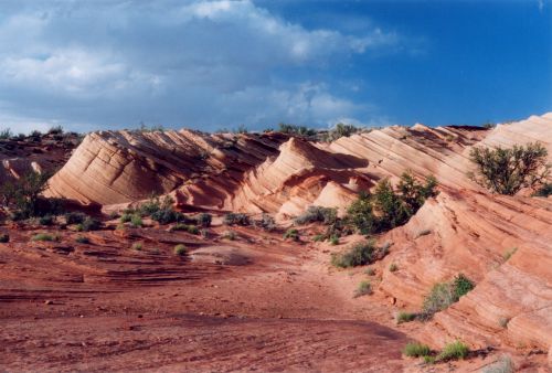
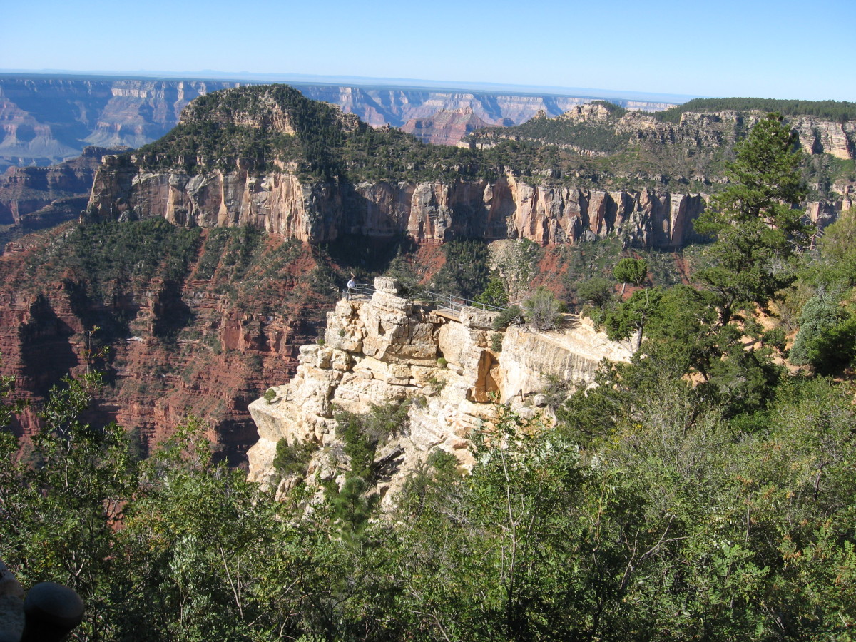
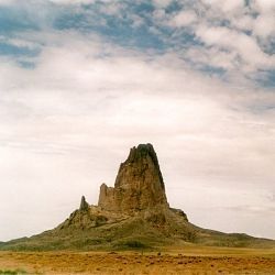
All photos are mine. This peak is on the route to Monument Valley.
Antelope Canyon
Antelope Canyon is a slot canyon located on the Dineh reservation near Page, Arizona. A slot canyon is a canyon which is so narrow that most of the time, sunlight does not directly penetrate into the canyon. The only time sunlight touches the floor of Antelope Canyon is in summer, an hour either side of midday.
To get to upper Antelope Canyon, you must have a tour guide. My favorite tour guide is Charly Moore. He is one of the nicest people I have ever met. He will definitely treat you right. He also owns and runs the Thunderbird Gallery in Page.
The Dineh themselves manage lower Antelope Canyon. You pay a fee, and they allow you to proceed on your own, though they will provide a guide.
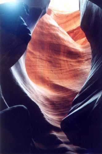
Notice how sun and shadow produce different colors on the reddish rocks of the canyon.
Lower Antelope Canyon
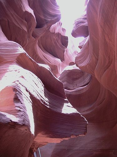
This is the only photo in this lens from Lower Antelope Canyon. All the rest are from Upper Antelope Canyon. This photo is located close to some stairs that climb several stories worth, to help a person climb out of the canyon on the downriver side.
Upper Antelope Canyon
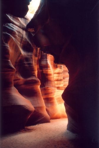
This is close to the entrance. A scene like this is one reason some people consider the canyon to resemble a cathedral. I concur.
Canyon with Ray
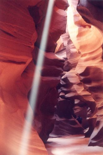
The sun has penetrated to the floor of the canyon. It was windy and dusty that day, which really brings out the rays.
Antelope Canyon Rays
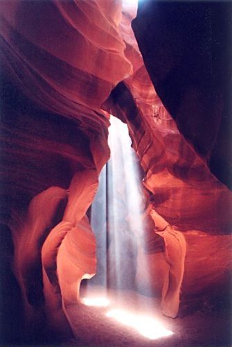
These are the sort of rays that people are really trying to see and capture. This was a real blessing!
You can see more about Antelope Canyon here: Antelope Canyon - Abstract Landscapes.
Grand Staircase - Escalante
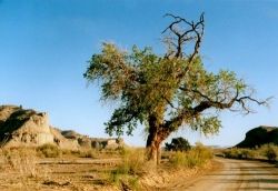
This relatively newly minted national area is mostly in Utah, but the entrance is on the Arizona side of the border. This tree is close to the border, so I will show it to you here. The rest of the photos I am sharing are in this lens: Scenery in Utah.
Grand Canyon
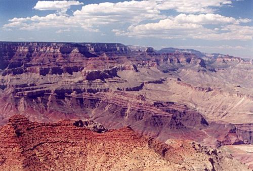
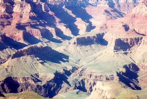
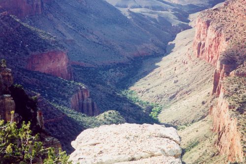
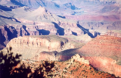
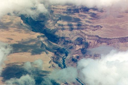
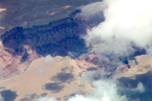
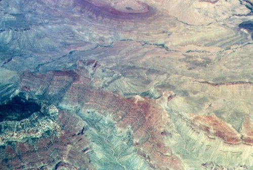
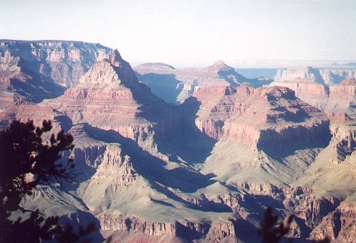
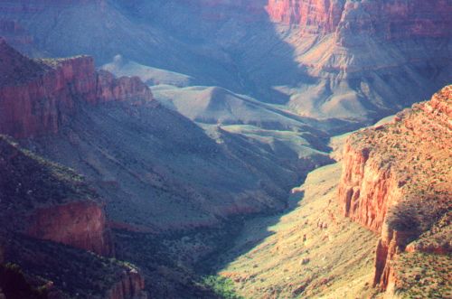
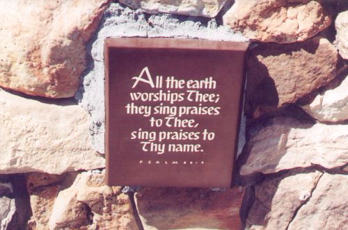
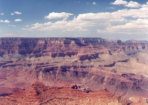
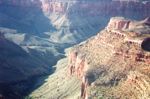
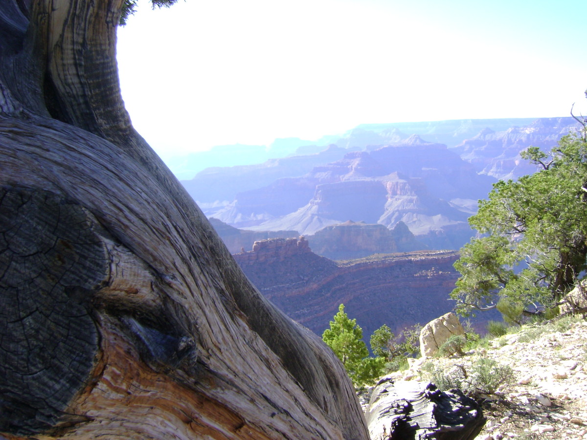
Grand Canyon is considered one of the Seven Wonders of the World. It draws visitors from all over the world. Two groups in particular are especially prone to visit: Germans and Japanese. At this location and others in Arizona, I have heard each of their languages spoken. Sometimes I have fun saying something to someone in his own language. It always evokes surprise. :)
This collection includes both shots from the south rim, and aerial shots. Unfortunately, the day I took some of these pictures, it was hazy from a nearby forest fire, so the colors are not as brilliant as I hoped.
Grand Canyon Photos
Click thumbnail to view full-size


Glen Canyon
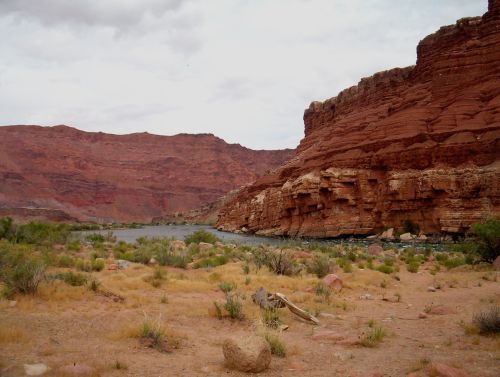
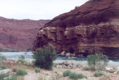
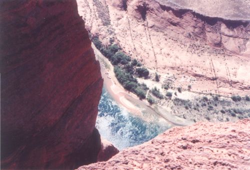
Like the Grand Canyon, at the bottom of the canyon is the Colorado River.
To get to Glen Canyon, take US 89 south from Page or north from Flagstaff (in this case, you will pass the road to Grand Canyon first) and turn north on 89a. The road will head north for awhile, and then will make a sharp turn to the left. This is by Lee's Ferry, which is a place that is not at all obvious. Look for a road that turns off to the right. You will see a sign. Take this road. You can drive back into the canyon until you reach the river. There is recreation there, and a nice beach. Some people do river rafting in the river there.
Glen Canyon Photos
Click thumbnail to view full-size


Another Scene in Glen Canyon
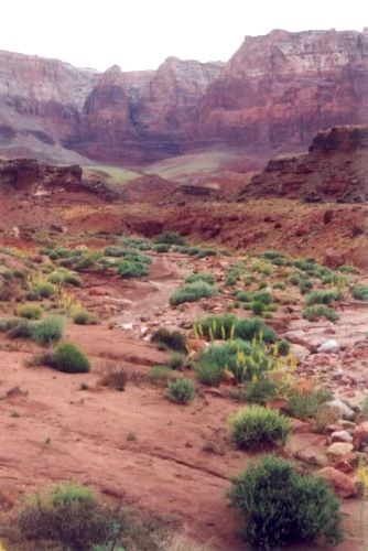
This is close to the turnoff as well.
Glen Canyon with Prince's Plume
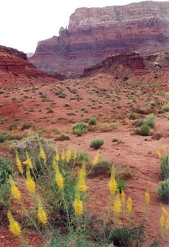
Wildflowers tend to appear, in northern Arizona, in August more so than in the spring. The bright yellow flowers in the foreground are Prince's Plume - Stanleya pinnata. This is my favorite shot from Glen Canyon.
Horseshoe Bend
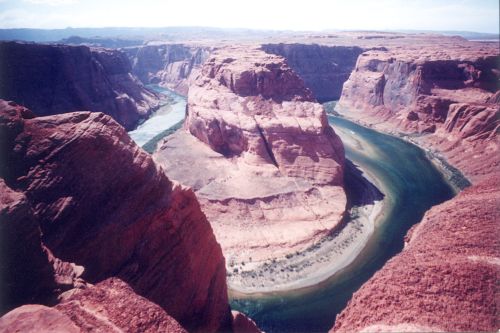
Horseshoe Bend is a bend in the Colorado River where it bends back on itself. It is north of the Glen Canyon area that I have just discussed, and just a little bit south of Page. On US89, it is easy to miss the turnoff on the right. There is a small dirt parking lot. The walk to the lookout is over some fairly deep loose sand, so it's not an easy walk, though the ground is almost entirely level. It's some fraction of a mile, but I can't tell you how much.
This and another such bend are famous sights for people familiar with Arizona and Utah. These gorges are fairly spectacular and very beautiful.
Photos of Horseshoe Bend
Click thumbnail to view full-size


Lockett Meadow
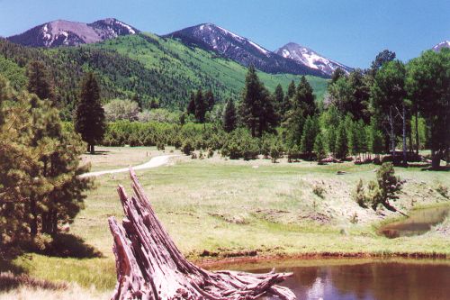
This is a small area in the San Francisco Peaks where there is a grassy meadow (green during the season), surrounded by pines and aspens. It is a peaceful place. To get to it, look for the road to Sunset Crater, and instead of going east, turn west at the very same spot. Then take a right turn at the T intersection.
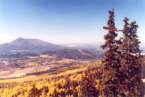
When you are approaching the meadow, you can see east into the distance, and on a clear day, you can see the Painted Desert, which is about 50 miles away as the crow flies.
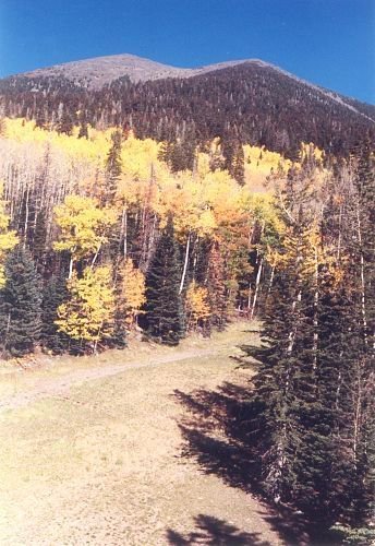
Fall Aspens
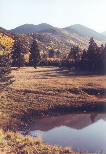
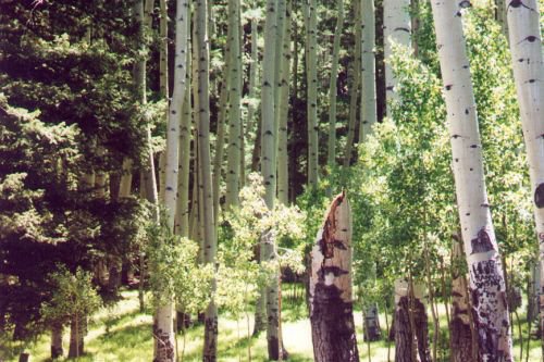
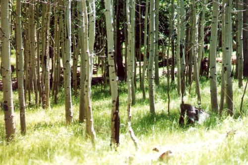
A scene looking across the meadow at the aspens on the San Francisco Peaks, all golden with fall colors.
Lockett Meadow Photos
Click thumbnail to view full-size


Do you like the landscapes of Arizona?
Do you like the landscapes of Arizona?
Monument Valley
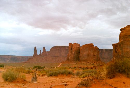
Monument Valley is a very famous location with well known vistas. It is a tribal park, belonging to the Dineh (Navajo) Indians, and is located predominantly in Arizona, though access is from Utah.
Let's say you start out in Flagstaff. You will take US89 north (or if you are coming from Page, you take US89 south), and go east on US180 for most of the remaining distance. After that, it gets a bit complicated, so ask Google for help. Google also says US180 is temporarily closed. That is a shame, because any other route really goes around Robin Hood's barn for quite a distance.
But if you can figure out how to get there, it's well worth the trip. There is a single motel just south of the Utah border, though expect it to be expensive.
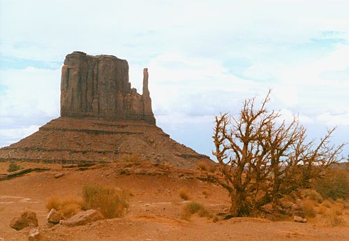
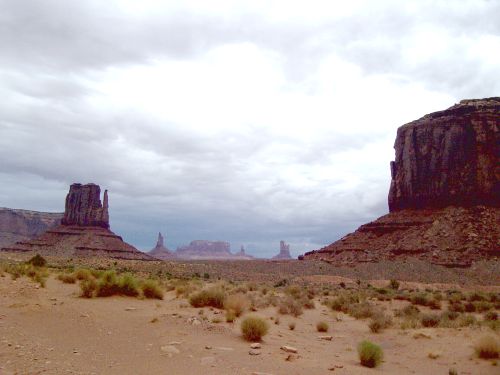
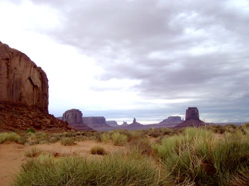
In addition to most people being familiar with some of the hoodoos in the park, many people are familiar with movies that have been made on location there. The most famous buttes are the two mittens. Those are visible just about immediately after you enter the last parking lot before driving the dirt road.
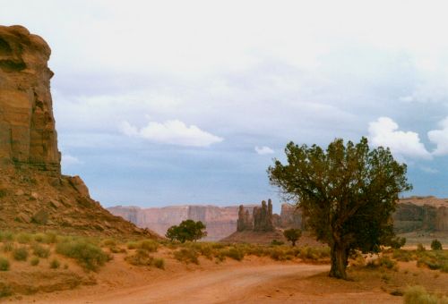
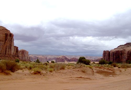
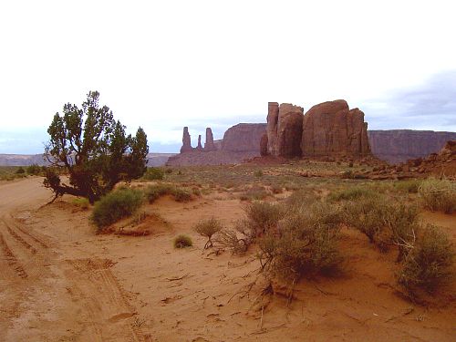
I chose to visit during Wet Summer, hoping to get some wonderful clouds. I got the clouds, all right, on the way. But by the time I got past the mittens, the sky was almost totally overcast. While this gives interesting photo opportunities, I didn't like it as well as I would have liked scattered clouds, blue sky, and more brilliant colors. Perhaps someday I can go back on a better day.
Monument Valley Photos
Click thumbnail to view full-size


A Final view in Monument Valley
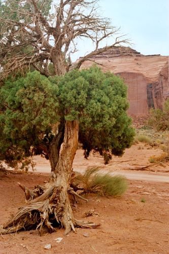
I'd like to find out who has visited Arizona, and where they have been.
Where have you been in northern Arizona?
Page, Arizona
and Lake Powell
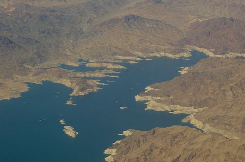
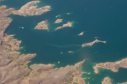
Page is a small town, right next to Lake Powell. Tourism seems to be their major endeavor. Lake Powell is the second-largest man-made lake in the United States. When they first put in the dam to form the lake, there was a loud outcry about all the beautiful land that would be covered with water, including a number of slot canyons. However, it was done, and the place is just as beautiful, just in a different way.
At the time I was there, the water level was low. I also got some aerial views, which I share here.
Near Page, the Dineh are running a coal-fired power plant. They mine the coal in a nearby mountain and send it to the power plant by conveyor belt. The electricity is sent to California (probably Los Angeles). The plant's pollution control systems are so effective, the only thing the plant gives off is water vapor. Hey, it can be done!
Page and Lake Powell Photos
Click thumbnail to view full-size


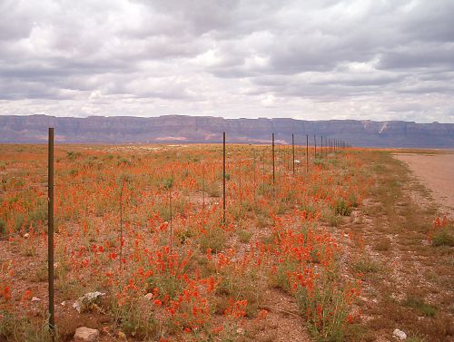
A Closeup of Desert Mallow - Page, Arizona
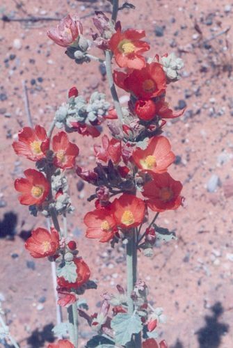
Sphaeralcea ambigua. Also known as Desert Globemallow and Sore Eye Mallow. If you get any of it in your eyes, it makes them sore.
Parker Canyon
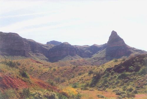
There is a significant dam in Parker Canyon. After visiting this dam, I headed south, and saw this view.
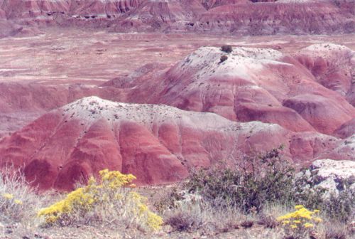
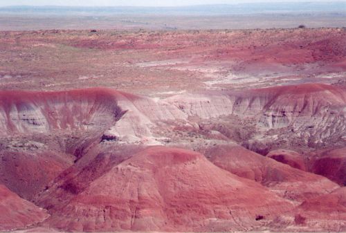
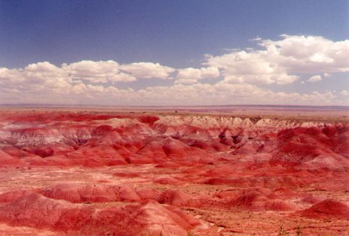
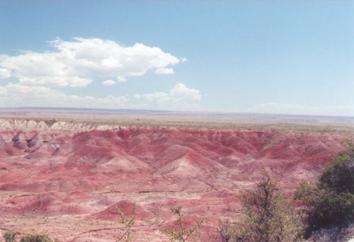
The Painted Desert
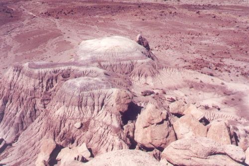
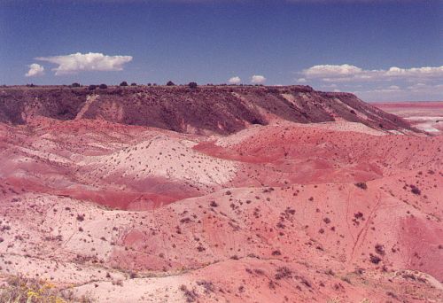
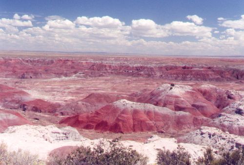
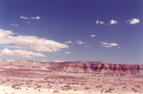
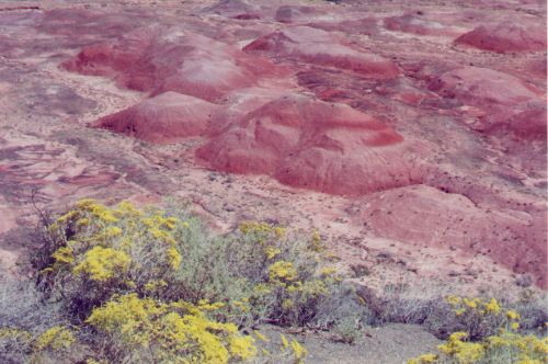
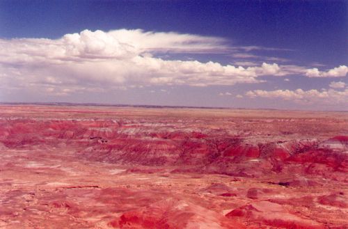
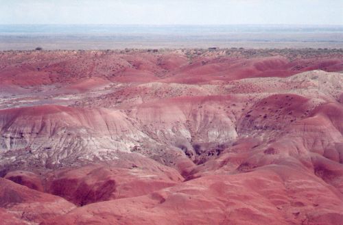
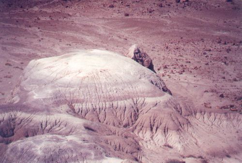
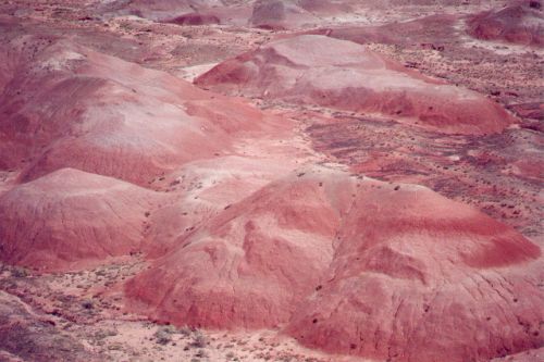
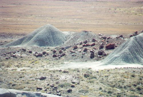
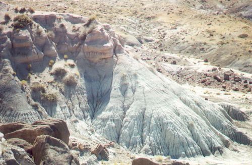
The Painted Desert is located in eastern Arizona, not far from the Petrified Forest.
Painted Desert Photos
Click thumbnail to view full-size


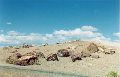
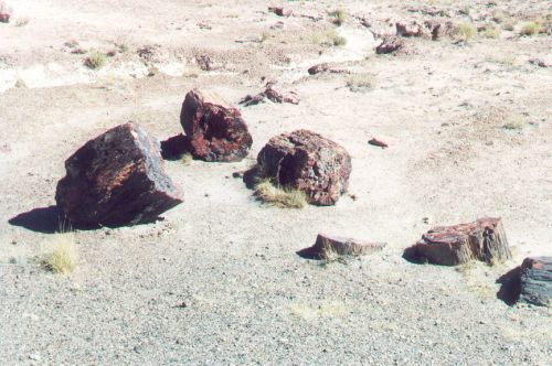
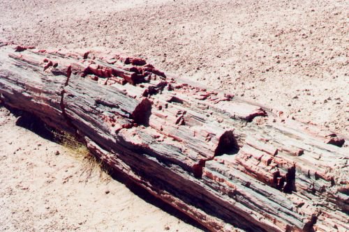
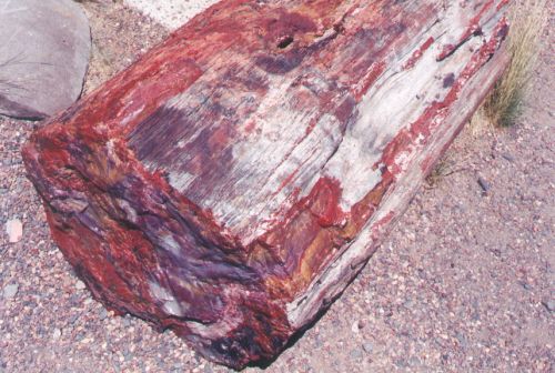
Petrified Forest
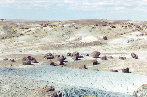
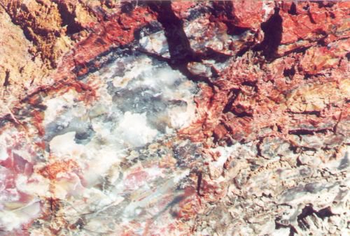
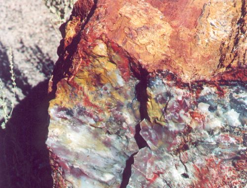
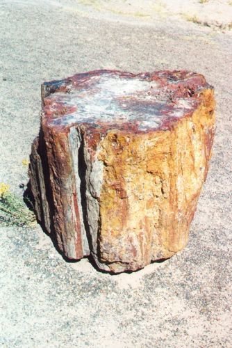
Contrary to popular belief, trees can become petrified in just a few years. This happens when the trees are submerged quickly into some kind of hot mineral spring. Quick submersion is required because otherwise the wood would simply rot away.
An experiment was done in which a piece of log was suspended by rope in a mineral spring in Yellowstone. In just four years, the log was partly petrified, and the rope was completely petrified.
Closeup of a Petrified Log
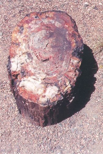
Another Log
Petrified Forest Photos
Click thumbnail to view full-size


Or you can wait to the very end, or leave comments both places.
Sunset Crater
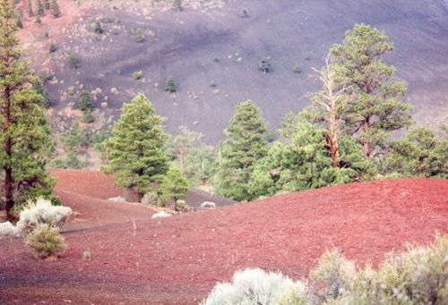
This cinder cone was formed from a volcanic eruption that took place about a thousand years ago.
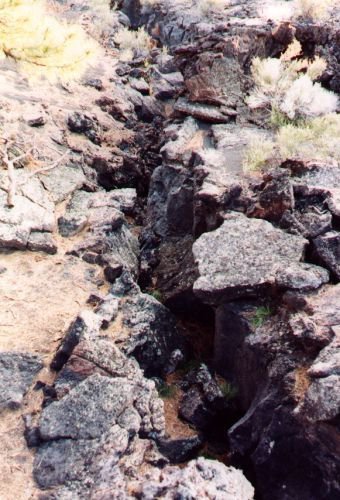
Near the crater are examples of several kinds of lava, including, in the Hawai'ian, A'a and Pahoehoe. A'a is rough, while Pahoehoe is smoother. Pahoehoe flowed more easily. Most of what I saw was A'a. Pahoehoe appears not to be as common.
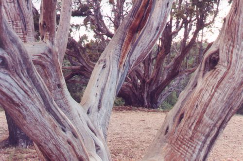
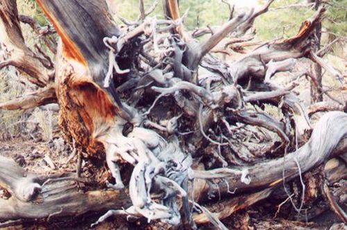
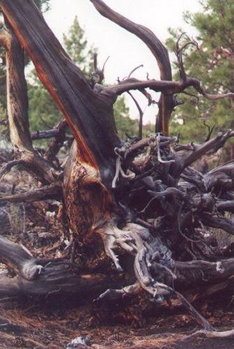
There are ancient trees, which show the violent nature of the eruption; they are dead and twisted, and very appealing to me as a photographer.
I could have hiked to the top, but I wasn't in the mood. There was plenty to see where I was, and I did walk the loop.
Sunset Crater Photos
Click thumbnail to view full-size


Another View of the Twisted Tree
A crevice in the Lava
Salt River Canyon and Tonto National Forest
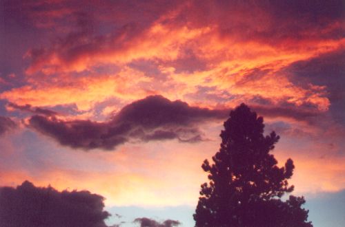
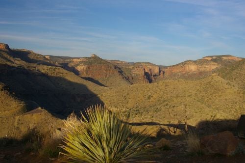
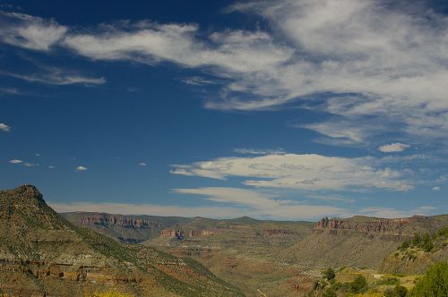
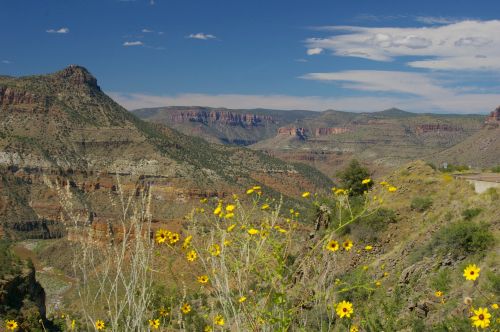
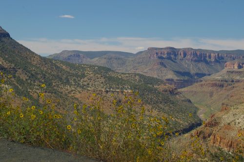
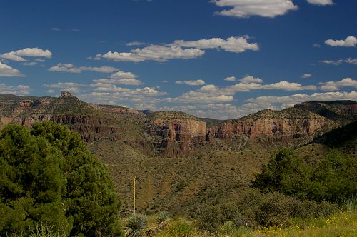
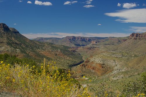
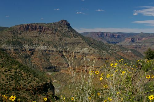
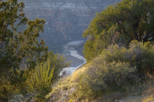
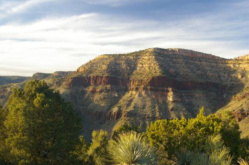
This area is divided between the Apache Nation and the federal forests. Salt River Canyon reminds me of the Grand Canyon, though it is not as large. The sunset above the forest was beautiful that night.
Salt River Canyon Photos
Click thumbnail to view full-size


San Francisco Peaks
These are the mountains near Flagstaff.
Parts of these burned years ago, and the hillsides are still barren of vegetation for the most part. When the fires come and burn all the plant life, then the soil is no longer held, and the monsoons that follow wash the soil down the mountainside. There is nothing left for plants to grow. In spite of this, there is still much beauty in the mountains.
San Francisco Peaks Photos
Click thumbnail to view full-size


A Final View of Fall Aspens
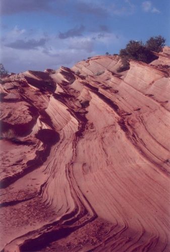
Vermilion Cliffs
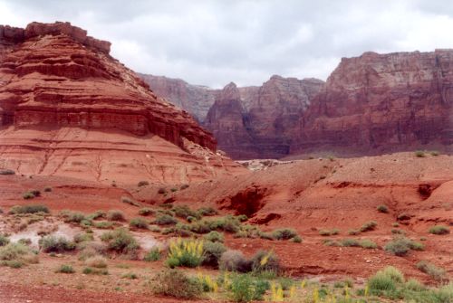
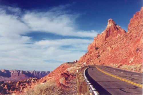
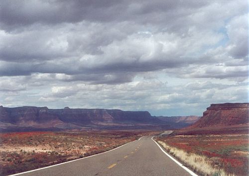
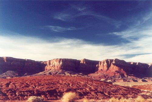
The Vermilion Cliffs is a huge area west of Page. It extends partly into Utah and covers a tremendous area. I have seen only parts of the outside cliffs. When you drive along the southern route to the west of Page in Utah, they go on for miles to the south of the road.
The pictures I am showing you here start where US89a branches off US89, and extends around again to the south until the road turns west.
Vermilion Cliffs Photos
Click thumbnail to view full-size


Waterhole Canyon
In another lens, I talk about the weekend we spent as guests of Charly Moore. Because my friend's car wouldn't run, we missed the chance to go to the Coyote Buttes, so Charly took us to this little known canyon on Dineh land. This is south of Page. I wouldn't be able to remember how to get there, since I wasn't driving.
Waterhole Canyon Photos
Click thumbnail to view full-size

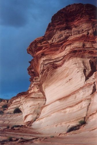
Waterhole Canyon - Other views
Wupatki Ruins
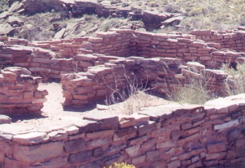
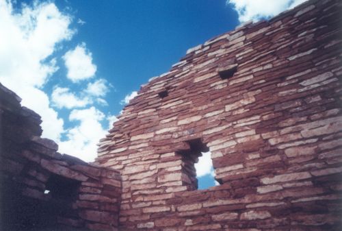
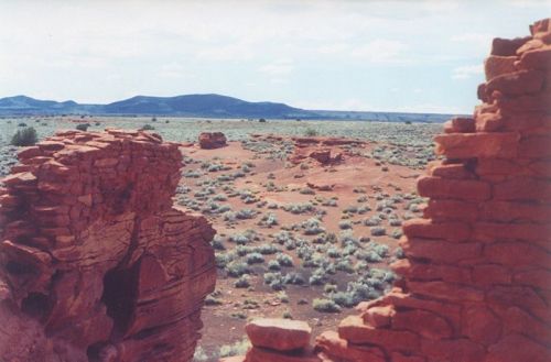
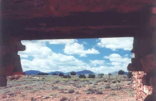
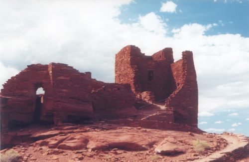
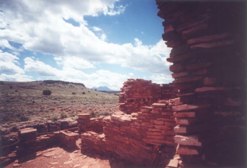
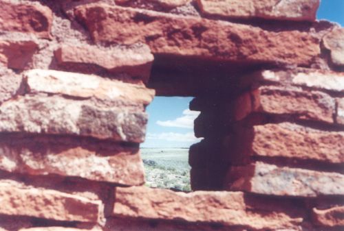
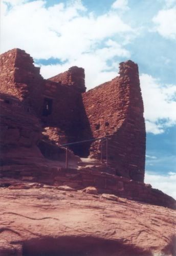
The road that leads to Sunset Crater loops around and runs past these ruins. They are believed to have been built by the Sinagua or the Anasazi. "Sinagua" means "without water" in Spanish, and the people were so named because they managed to survive in extreme desert conditions without a significant supply of water.
Wupatki Ruins Photos
Click thumbnail to view full-size


One More View of the Ruins
Thank You for Visiting
I hope you enjoyed it.

