- HubPages»
- Travel and Places»
- Visiting Africa»
- Travel to Southern Africa
A photographic walk in the old Transkei
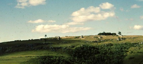
Buntingville in Pondoland
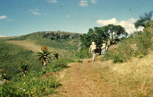
Back in late 1963 when I was home from my first year at University, during the end of year vacation, my parents and I went for a long walk one day along what was known as "The Old Chief's Road", the "old" qualifying the road rather than the chief.
At the time my father, Murray McGregor, was headmaster of Ndamase Secondary School at the Methodist Mission station called Buntingville in western Pondoland.
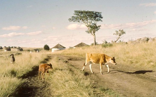
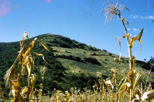
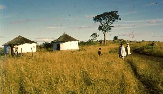
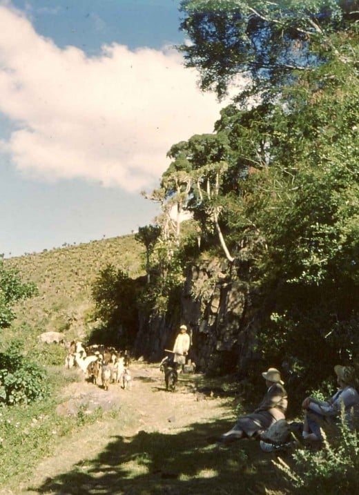
Buntingville is situated in a beautiful area which at the time was mostly populated by subsistence famers who, besides growing mealies (corn) and pumpkins, raised herds of cattle, along with sheep and goats.
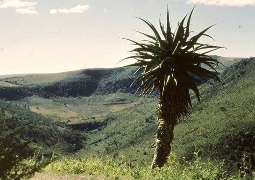
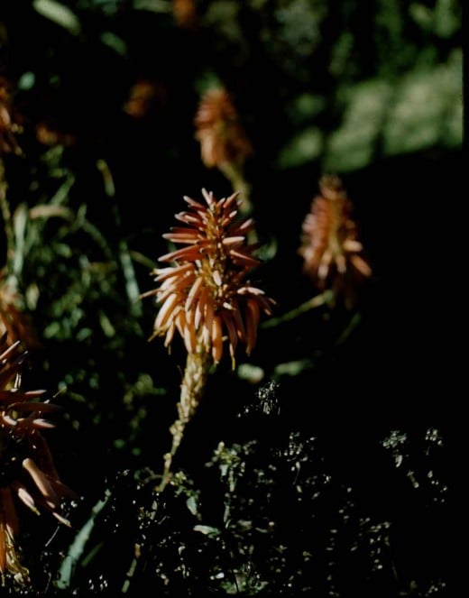
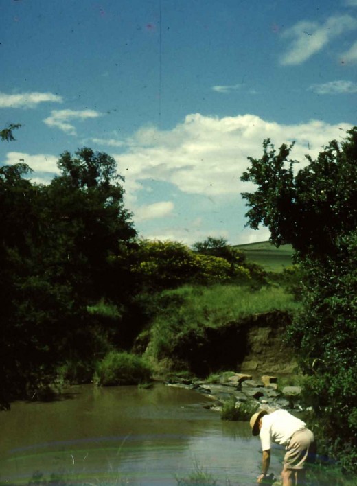
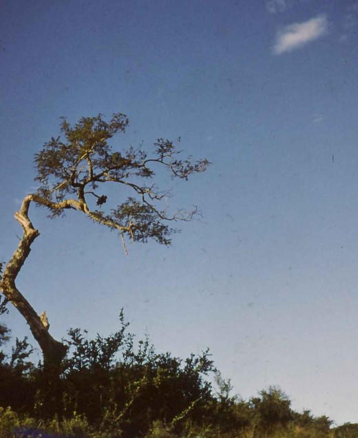
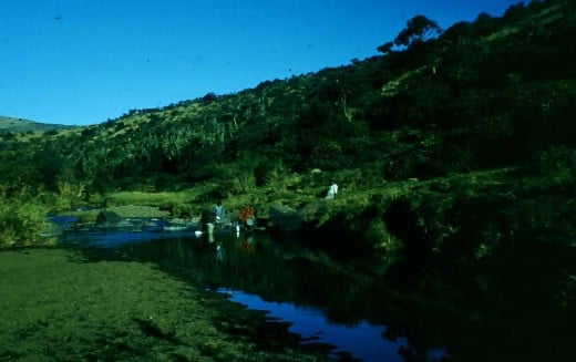
The countryside was fairly hilly and had patches of indigenous forest consisting of euphorbias, accacias and aloes. The rivers which ran in the valleys were mostly seasonal, being almost empty apart from isolated and usually stagnant pools in winter, rushing furiously after summer rains. The summer rains were often accompanied by violent thunderstorms, and sometimes hail storms which devastated crops while enriching the soil with the nitrogen fixed in the hailstones.
The people were generally extremely poor with few modern amenities and the rivers served as laundries, water sources for both cattle and humans and as recreational areas for the children.
The most common form of dwelling was the "hut" or "rondavel", a round building plastered with mud and with a high-pitched thatched roof held up by a wooden pole in the middle.


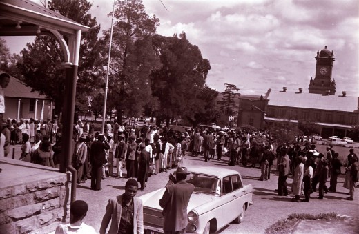
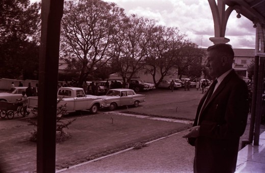
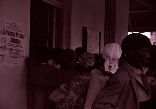
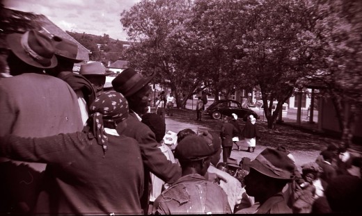
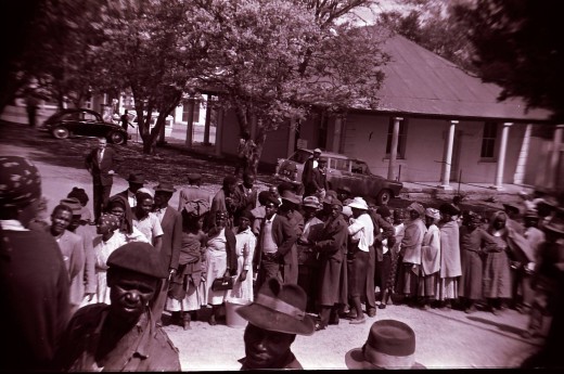
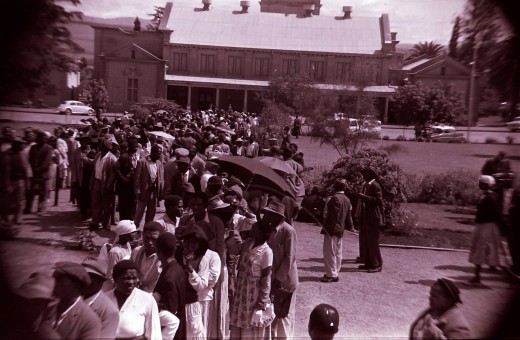
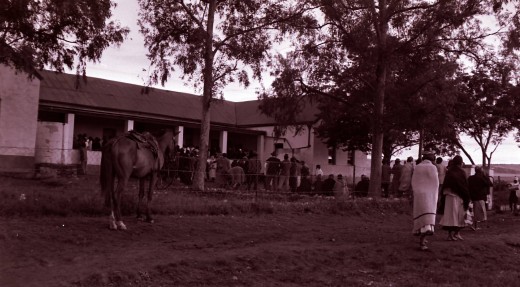
Scenes from the Transkei Elections 1963
Click thumbnail to view full-size


The mysterious "Chief's Road"
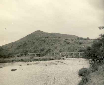
Across the valley from our house in Buntigville was a road which wound up a mountain to one side and across a river and up another mountain to the other side.
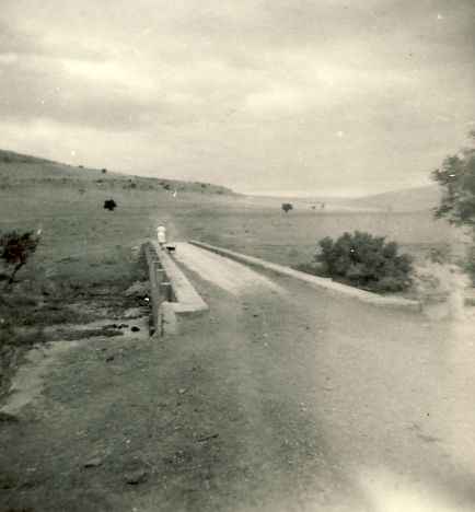
We could not ascertain who had built the road, but we were told that it was a chief of the area. The road basically went from nowhere to nowhere and it seems to have been built primarily as a way of enhancing the said chief's status in the area. It served, as far as we could tell, no other useful purpose and was never seen to carry any wheeled traffic at all.
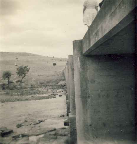
The bridge however was well-built.
On this walk on a hot spring day I took with me two cameras, one with colour positive film and the other with black and white negative film. Neither was a particularly good camera, though they were both single lens reflexes.
The accompanying photographs have been lying among my father's effects and I'm not sure that anyone has looked at them in about 40 years, until I discovered them recently.
Looking at the photographs has unleashed a flood of memories and thoughts about the times, not all of them good ones.
At the time the apartheid regime had forced "self-governing" status on the Transkei and the first elections for the Transkei Legislature were held at about that time. These were not at all the first elections the people of the Transkei had participated in, however. They had for many years been electing members to the so-called "Bhunga" or local legislature, and some of the wealthier citizens of the Transkei had been enfranchised to vote in National general elections under a qualified vote.
However successive governments in South Africa had steadily whittled away at the people's franchise until only the meaningless "self-government" offered by the Pretoria regime was left.
I remember being in Mthatha when this puppet legislature held its first sitting and elected the person who would be the Prime Minister of the Transkei. The most popular leader in the area, by far, was Inkosi Enkhulu (Paramount Chief, or King) Victor Poto Ndamase, followed closely by the Pramount Chief of the amaThembu, Chief Sabata Dalindyebo. Both of these men were strongly opposed to the apartheid policies of the Nationalist Party and were candidates for the post of Prime Minister.
While the elections were going on in the chamber I and my parents stood on the opposite side of the road waiting for the results. The candidates emerged from the building separately, Chief Dalindyebo first, as I recall, and he got a rousing welcome from the crowd, followed by Chief Poto Ndamase, who got an even more enthusiastic reception.
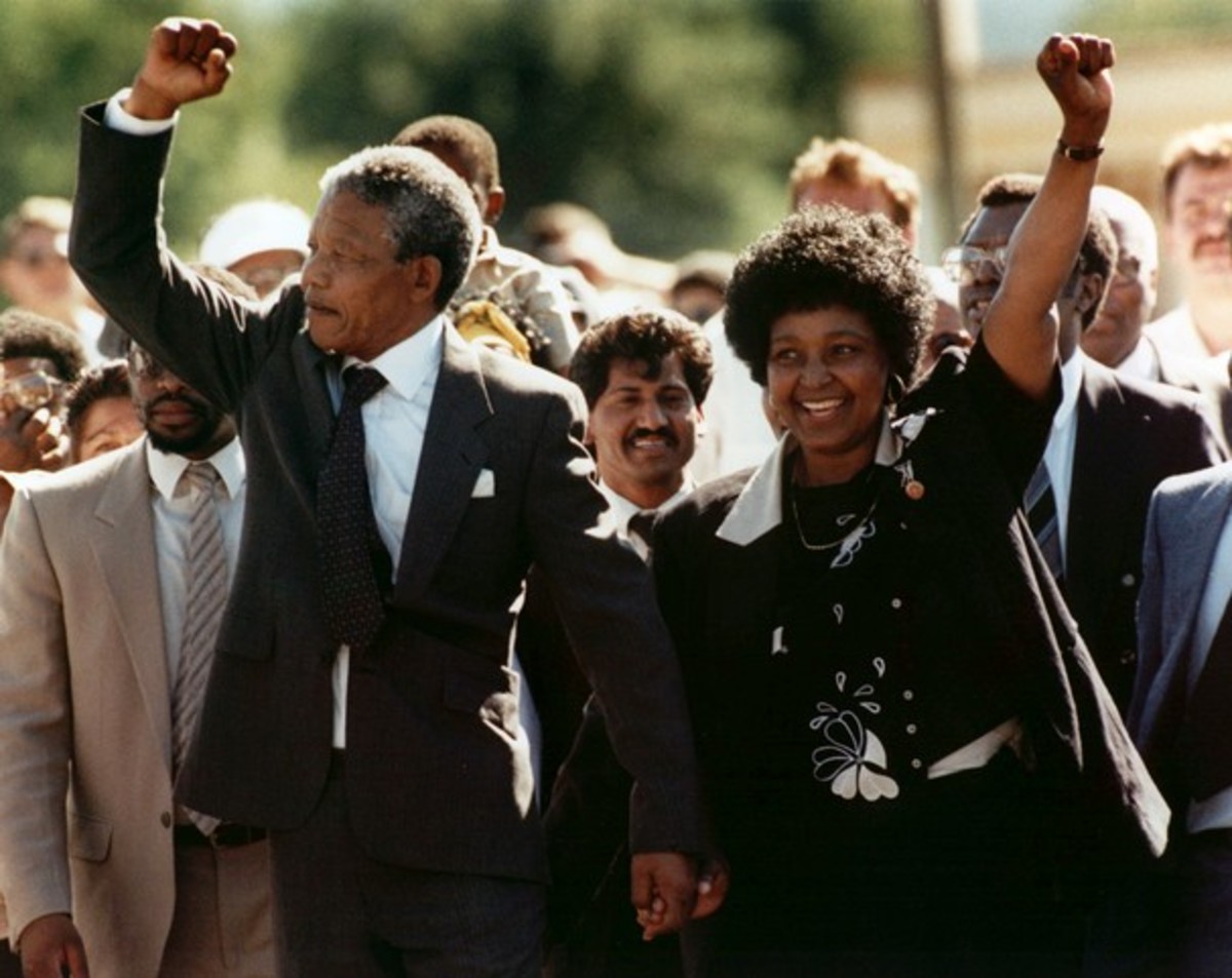
The third person to emerge was the one who had won the vote, the government's man, the highly unpopular Chief of another branch of the amaThembu, Chief Kaiser Matanzima. He came out of the building with his arms raised in triumph, to a silence which soon turned to hissing dispproval. He hurriedly dropped his arms and scurried away to a wating car to be whisked away.
Thus started the bogus journey to so-called independence which would culminate in the formation of the Republic of Transkei in 1976.
- Eastern Cape - Wikipedia, the free encyclopedia
The Eastern Cape is a province of South Africa. Its capital is Bhisho. It was formed in 1994 out of the "independent" homelands of Transkei and Ciskei, as well as the eastern portion of the Cape Province.
Update November 2009
A few days ago I received an e-mail from a reader, Ian Thompson, of Scotland, who had found this Hub as a result of an Internet search. Turns out that Ian is the son of a former Warden of Buntingville, Ronald Thompson, who, like my father, hade fallen foul of the apartheid regime. Ronald was a Methodist Minister at Buntingville and had stood up for a group of students who had demonstrated against the then Headmaster of the school, a government appointee.
Ian sent me a wonderful, long e-mail and included in it was this recollection of his experience with the Chief's Road, which he has kindly agreed to let me add to my Hub. Ian visited Buntingville earlier this year, for the first time in 52 years. He wrote:
It was interesting that one could still see from the Mission, the scar of the 'Old Chief's Road' running diagonally up the mountain in the distance. Well I remember riding over there numerous times, but I must tell you briefly about the first couple of visits we made there. Soon after arriving in 1952 we were curious to know where this road went and why it was there, as the straight line of the gradient clearly indicated that it had been properly surveyed by whoever built it. Our initial enquiries were met either with silence or remarks such as: 'Au! Mtagati' (“It is bewitched!”). This intrigued us and we rode over there on horse-back to examine it, on horses loaned from locals before we bought our own. The creepy thing was that nothing would persuade the horses to walk on this road. We tried cantering up the approaches but the horses stopped dead where the road and cuttings began! When we told them we'd been there, the local folk on the Mission laughed and said that just proved that it was cursed! After we had been there a while and my father had won the trust of the local folk, he pursued his enquiries. Because he spoke fluent Xhosa, he was able to get the story of the road out of Mr Mashlasela. According to him the road was built in the 1890s at the insistence of a chief, whose name I have long forgotten, with the help of a Scottish engineer (who was then employed in building roads between East London and Umtata, and Umtata and Kokstad). Again, the name of the engineer escapes me, but could possibly be traced. What happened, we were told, was that the chief drove his subjects virtually into slavery to build the road, as he wanted a 'white man's road' so that he could drive in a carriage up to his great place atop the cliffs. When the road was complete he celebrated with a great feast, but his people rose up in rebellion and murdered him, his wives and children, killed his livestock and destroyed his 'great place'. The local sangoma put a curse on the road and it was never used..........or so the story went! I have long wanted to try to corroborate this account, but not being in SA do not know where to start. However I will never forget the chill that went down my spine when after numerous efforts to get the horses to walk on the road, we had to lead them on the goat paths alongside to get up to the top.
Copyright Notice
The text and all images on this page, unless otherwise indicated, are by Tony McGregor who hereby asserts his copyright on the material. Should you wish to use any of the text or images feel free to do so with proper attribution and, if possible, a link back to this page. Thank you.
© Tony McGregor 2008

